Pietrosu Bardău
Pietrosu Bardău (Romanian Vârful Pietrosu Bardău, also Pietrosul Bardăului) is a 1,850 m summit in the Romanian part of the Maramureș Mountains, in the north of Maramureș County. It rises above the Bardău massif, between the Vaser valley to the south and the Ruscova valley to the north. The Maramureș Mountains Natural Park guide calls it the place with the widest view over these mountains.
The top is a sandstone dome with a plateau holding small pools; the summit itself is marked by a survey post. The nearest settlement is the hamlet of Uloha, about 9 km away; around it there are only forests, pastures and sheepfolds, which makes it one of the most remote summits of the region.
How to get there / routes
The red stripe crosses the summit, linking the Vaser valley with the Ruscova valley – from the Bardău forest lodge (on maps C.F.F. Bardău, a forest-railway stop) to the Coșnea forest hut. According to muntii-nostri.ro it is about 21 km, more than 1,700 m of ascent and 9–11 hours of walking; the park guide gives 25 km and 10–12 hours, medium difficulty, hard in winter.
From the lodge you cross the Vaser by a bridge next to an information board and follow the road up the Bardău valley, reaching the Preluca Bardău glade in about 45 minutes. Then come about two hours on a forest road, a tractor track past solitary rocks and streams, a thin conifer stand and a boggy patch, and the Dosul Bardăului ridge in pasture (1,536 m). From there the path climbs at length to the foot of the dome and along a rocky crest to the plateau and the summit – 5–6 hours from the start in total. The waymarks are sparse and faded, especially in the upper forest before reaching the ridge.
From the top the route crosses the plateau past the Bucovinca pools to the saddle below Bucovinca peak (1,763 m), with a spring nearby, skirts it, passes Pecealu peak (1,725 m) through dwarf pine and descends past a large sheepfold into the Coșnea valley.
What you see from the summit
The muntii-nostri.ro description speaks of a wide view over the Maramureș Mountains: far to the north the Farcău and Pop Ivan ridges, to the south Toroiaga and the Vaser valley.
Nature and history
The summit lies in the Maramureș Mountains Natural Park, created in 2005 and the largest park in Romania. The park guide lists the area below Pietrosu Bardău among the places where lynx tracks have been found. A forest narrow-gauge railway runs up the Vaser valley below, which is why the start of the route appears on maps as a C.F.F. stop; further down the valley lies the town of Vișeu de Sus.
Safety, season and rules
The route is not recommended in winter: muntii-nostri.ro warns of high avalanche danger below the summit, where the steep slope faces south-east. The park guide recommends boots, a rain cape, long trousers and a sun hat. Under the park rules, entry is allowed only after paying the visitor fee set by the administration; walking only on marked paths, tents and fires only in designated places, no feeding of wild animals and dogs on a lead (park visiting rules). Salvamont advises checking the forecast for the next 24 hours, not going alone, telling family your route, carrying a map, compass, torch, enough water and a charged phone, and leaving the open ridge at once if a thunderstorm comes.
Bears are common in these mountains. Stay on the marked paths, call out as you walk, do not hike in the evening or at night, do not keep food in your tent and store it away from your camp. Sheepdogs near sheepfolds may rush at hikers – do not run, stop and shield yourself with your rucksack. In an emergency call the national dispatch 0SALVAMONT – 0725 826 668 or 112; advice on animal encounters is on the Salvamont România website.
Getting there from Ukraine
Border crossings
- Porubne – Siret — road and pedestrian, 24/7
- Diakivtsi – Racovăț — road and pedestrian, 24/7 No freight traffic.
- Krasnoilsk – Vicovu de Sus — road and pedestrian, 08:00–20:00 Cars up to 3.5 t and pedestrians only; not 24/7.
- Solotvyno – Sighetu Marmației — road and pedestrian, 24/7 Passenger traffic only: vehicles up to 3.5 t with up to 9 seats, pedestrians.
- Diakove – Halmeu — road, 24/7 No pedestrian crossing.
By car
Rakhiv – Borșa ≈116 km, ≈2 h 24 min (via Solotvyno – Sighetu Marmației); Chernivtsi – Borșa ≈179 km, ≈3 h 50 min (via Krasnoilsk – Vicovu de Sus); Uzhhorod – Borșa ≈241 km, ≈4 h 27 min (via Solotvyno – Sighetu Marmației). Times without border queues, our road routing (GraphHopper, OSM).
Checked 03.11.2026; border crossing hours and timetables change — check before you travel.
Water and shelter nearby
- Spring below Pietrosu Bardău (west slope)1.1 km · Not verified · 1 647 m
- Spring below Pietrosu Bardău (north-east slope)2.3 km · Not verified · 1 550 m
Wildlife nearby
AllComments
Nearby attractions
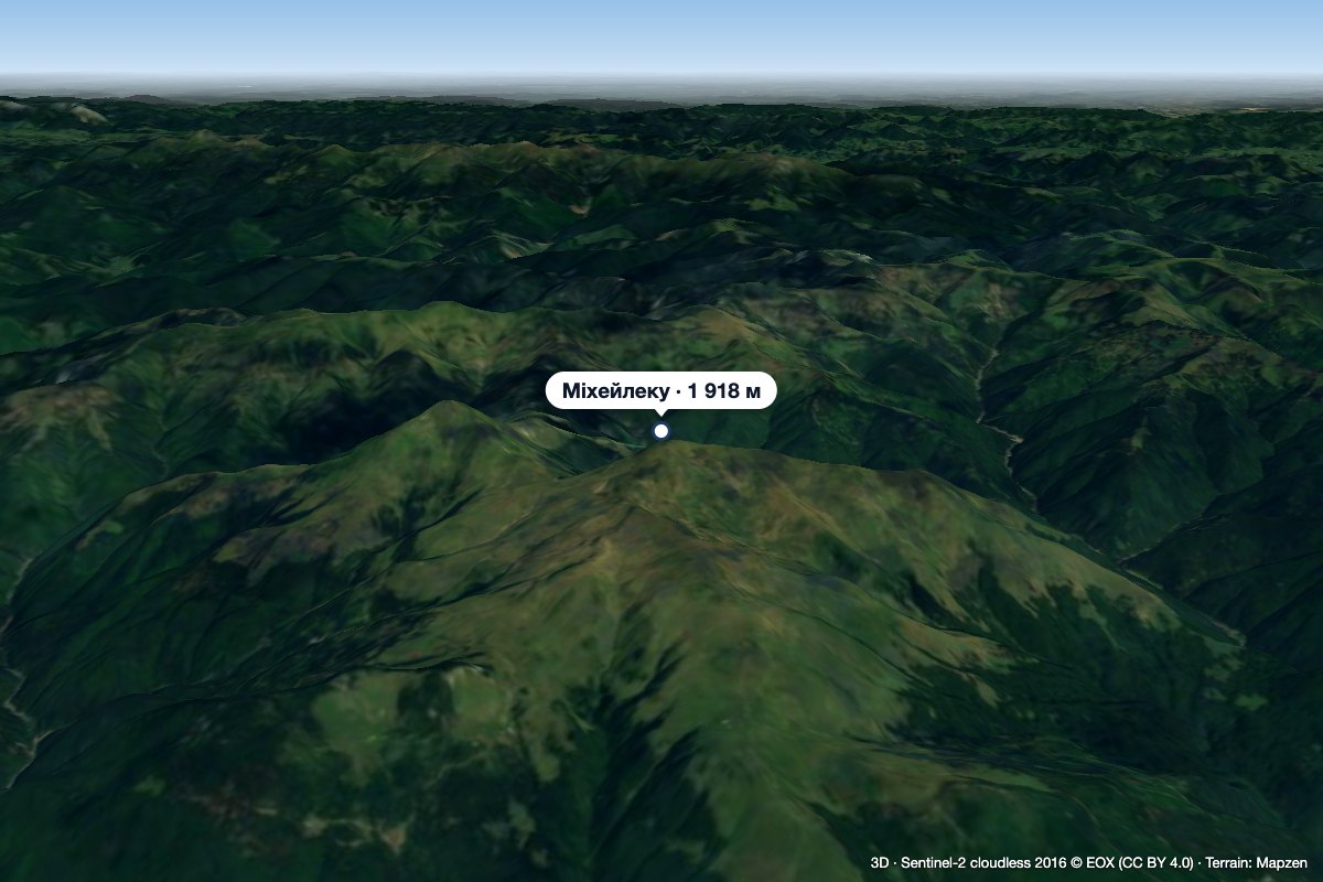 PeakMihăilecuPoienile de Sub Muntealtitude 1 918 m · Marmarosh range14 km from Pietrosu BardăuMihăilecu (Romanian Vârful Mihăilecu, also spelled Mihailecu on maps) is a 1,918 m summit in the Romanian part of the Maramureș Mountains, in the north of Maramureș...
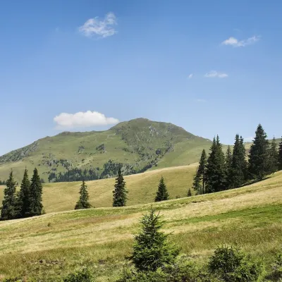 PeakFarcăualtitude 1 961 m · Marmarosh range16 km from Pietrosu BardăuFarcău (Romanian Vârful Farcău) is the highest summit of the Romanian part of the Maramureș Mountains, 1,961 m high according to OSM and Wikidata; Romanian Wikipedia...
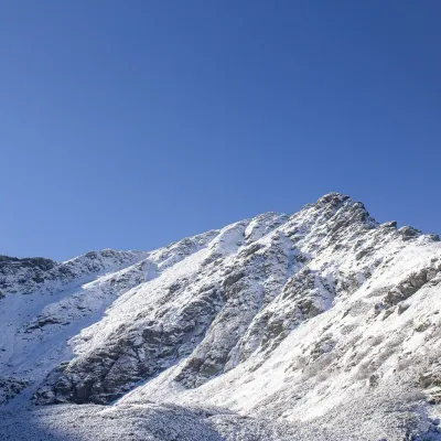 PeakPietrosul RodneiMoiseialtitude 2 303 m26 km from Pietrosu BardăuPietrosul Rodnei (Romanian Vârful Pietrosul Rodnei, also Pietrosu) is a 2,303 m summit, the highest point of the Rodna Mountains and of the entire Eastern Carpathian...
