Țibleș
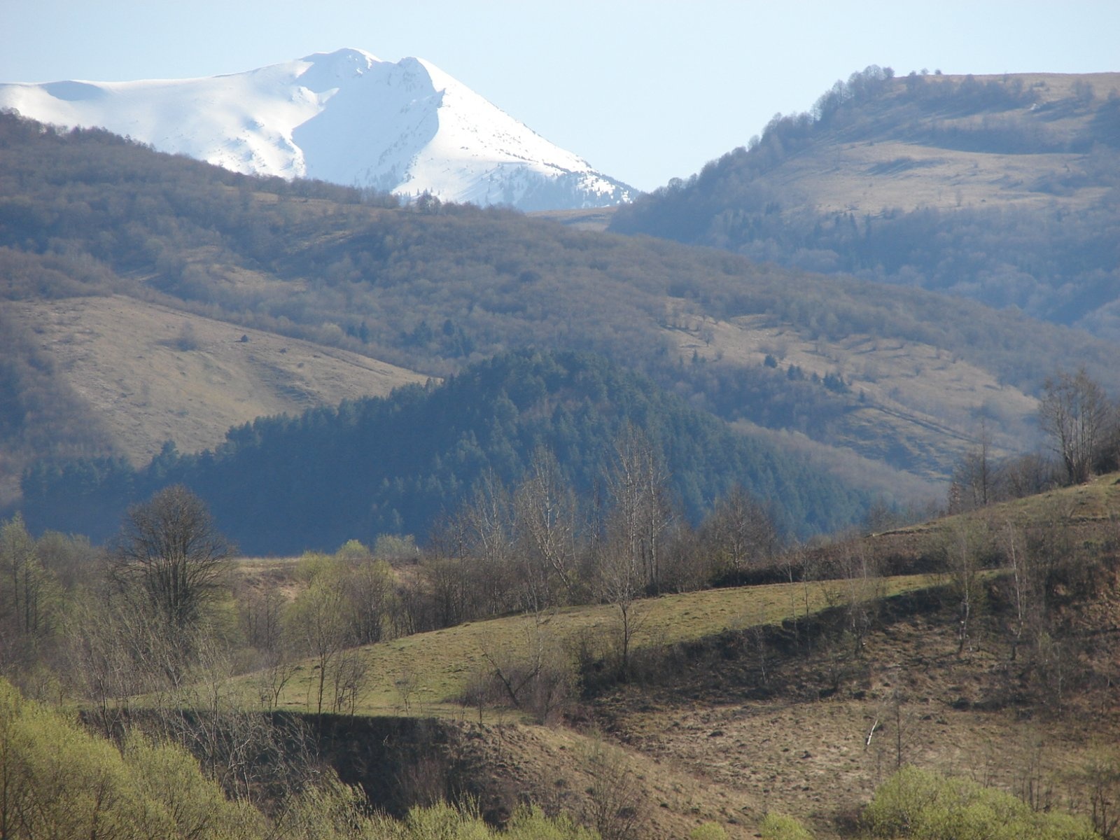
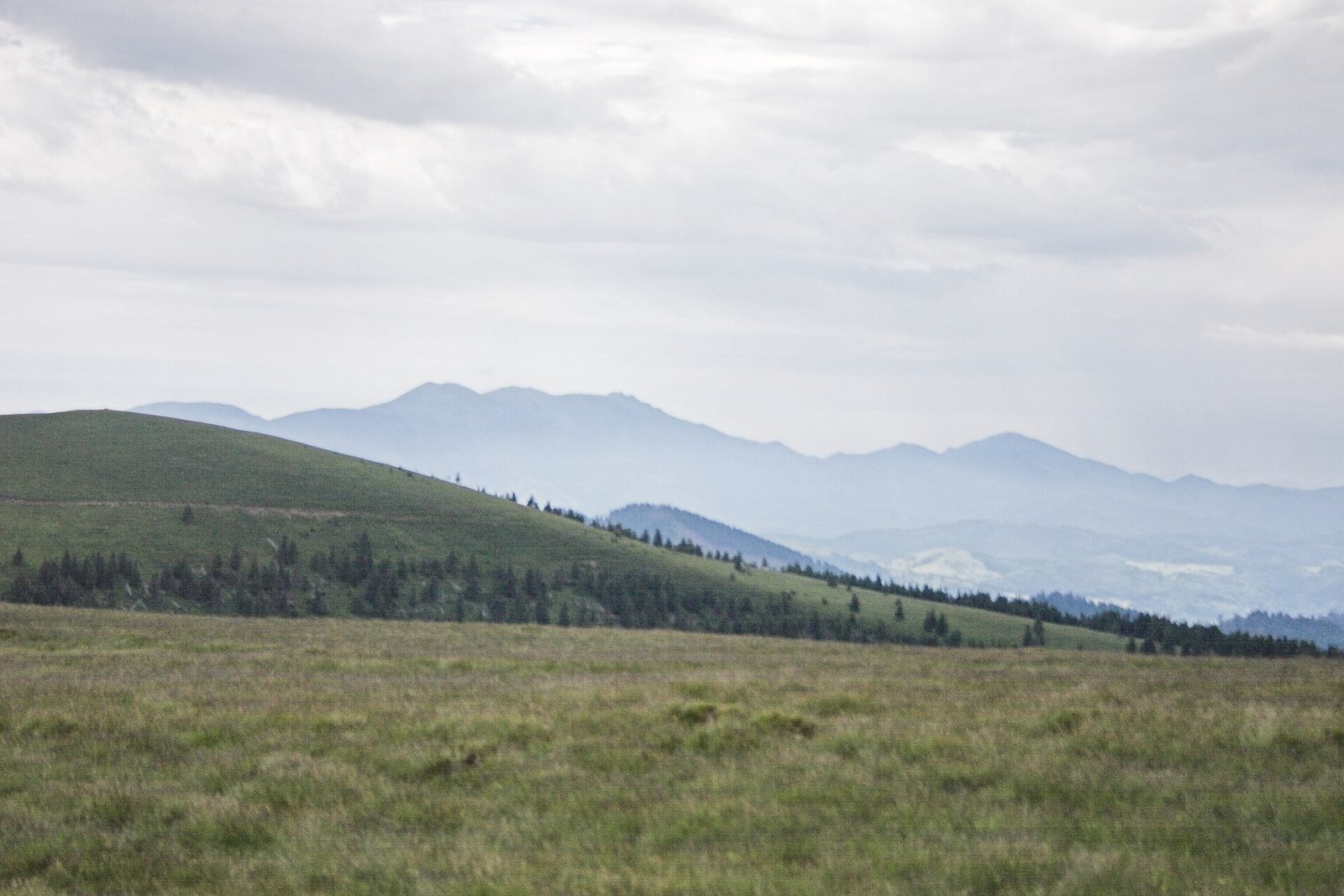
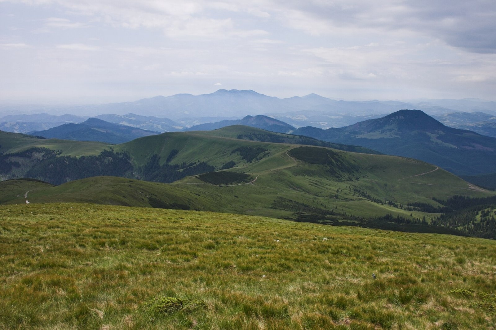
Țibleș (Romanian: Vârful Țibleș, Hungarian: Cibles or Széples) is one of the three highest summits of the Țibleș Mountains in the Inner Eastern Carpathians, 1,839 m above sea level. According to Hungarian Wikipedia, the highest summit of the massif is neighbouring Bran (1,840 m), Țibleș is just one metre lower and the third top, Arcer, is 1,830 m. The ridge carries the border of Maramureș and Bistrița-Năsăud counties; the nearest villages are Suplai (about 9 km) and Fiad (10 km), and the nearest town, according to English Wikipedia, is Dragomirești on the Maramureș side.
The Țibleș Mountains are volcanic and belong to the Vihorlat–Gutin volcanic chain. English Wikipedia notes that they lie on the southern border of historical Maramureș and cut the Maramureș valleys off from the rest of Romania.
How to get there / routes
The red stripe ridge route to Arcer peak crosses the summit, and a blue stripe path leads to Țibleș from the Arcer refuge. A popular option is the traverse of the whole Bran – Țibleș – Arcer ridge.
From the south, from a car park by a forest hut south of the massif (reached by road from the village of Suplai), the visorando.com route description suggests a loop over the three summits — Bran, Țibleș and Arcer: about 14.7 km, on average 7 hours 25 minutes, about 1,120 m of ascent, graded difficult. The climb follows a river and higher up steep switchbacks through bilberry; on the descent you can make a detour to a picnic shelter at the forest edge.
What you can see from the summit
From the Țibleș ridge you see the Rodna Mountains to the east, separated from the massif by the Săcel saddle, and the Lăpuș and Gutâi mountains to the west. To the north open the Maramureș valleys of the Iza and Vișeu, to the south the hills of Bistrița-Năsăud County.
Nature and history
According to Hungarian Wikipedia, the Săcel saddle (877 m) between the Iza and Sălăuța separates the Țibleș from the Rodna Mountains, and a saddle between the Jad and Ilișua streams separates them from the Lăpuș Mountains. The main ridge runs south-west from the Săcel saddle, turns north-west at Țibleș peak and continues directly into the Lăpuș Mountains. The slopes are covered with spruce forest and bilberry, which local people pick for sale.
Safety, season and rules
The visorando.com route description advises not to climb to the summit in a storm or fog, to carry a compass, wear high boots and use poles on steep stony sections, and to bring warm clothes and rainwear — it is cool on the summit even in summer. The forest road to the car park on the south side of the massif is not always passable for ordinary cars. Do not trample or pick the bilberries on the slopes: they are a source of income for local people.
Bears are common in the Romanian Carpathians. Salvamont rescuers advise not to hike alone, to talk loudly so that an animal hears you in advance, to keep your distance and never feed wildlife, and to store food in sealed containers away from your tent; if you meet a bear, do not run and back away slowly without turning your back.
Mountain rescue: Salvamont national dispatch 0SALVAMONT = 0725 826 668 and the emergency number 112.
Interesting facts
- The massif's three summits — Bran, Țibleș and Arcer — differ in height by only 10 m.
- The Țibleș Mountains are volcanic, like the neighbouring Gutâi Mountains.
Photos: Petremitru, CC BY-SA 3.0; Martin Kozák, Public domain; Martin Kozák, Public domain — Wikimedia Commons.
Getting there from Ukraine
Border crossings
- Porubne – Siret — road and pedestrian, 24/7
- Diakivtsi – Racovăț — road and pedestrian, 24/7 No freight traffic.
- Krasnoilsk – Vicovu de Sus — road and pedestrian, 08:00–20:00 Cars up to 3.5 t and pedestrians only; not 24/7.
- Solotvyno – Sighetu Marmației — road and pedestrian, 24/7 Passenger traffic only: vehicles up to 3.5 t with up to 9 seats, pedestrians.
- Diakove – Halmeu — road, 24/7 No pedestrian crossing.
By car
Rakhiv – Borșa ≈116 km, ≈2 h 24 min (via Solotvyno – Sighetu Marmației); Chernivtsi – Borșa ≈179 km, ≈3 h 50 min (via Krasnoilsk – Vicovu de Sus); Uzhhorod – Borșa ≈241 km, ≈4 h 27 min (via Solotvyno – Sighetu Marmației). Times without border queues, our road routing (GraphHopper, OSM).
Checked 03.11.2026; border crossing hours and timetables change — check before you travel.
Location on the map
Water and shelter nearby
- Spring below Țibleș590 m · Not verified · 1 544 m
- Spring below Arcer620 m · Not verified · 1 536 m
- Arcer Hut1.4 km · Not verified · 1 434 m
Comments
Nearby attractions
 PeakPietrosul RodneiMoiseialtitude 2 303 m29 km from ȚibleșPietrosul Rodnei (Romanian Vârful Pietrosul Rodnei, also Pietrosu) is a 2,303 m summit, the highest point of the Rodna Mountains and of the entire Eastern Carpathian...
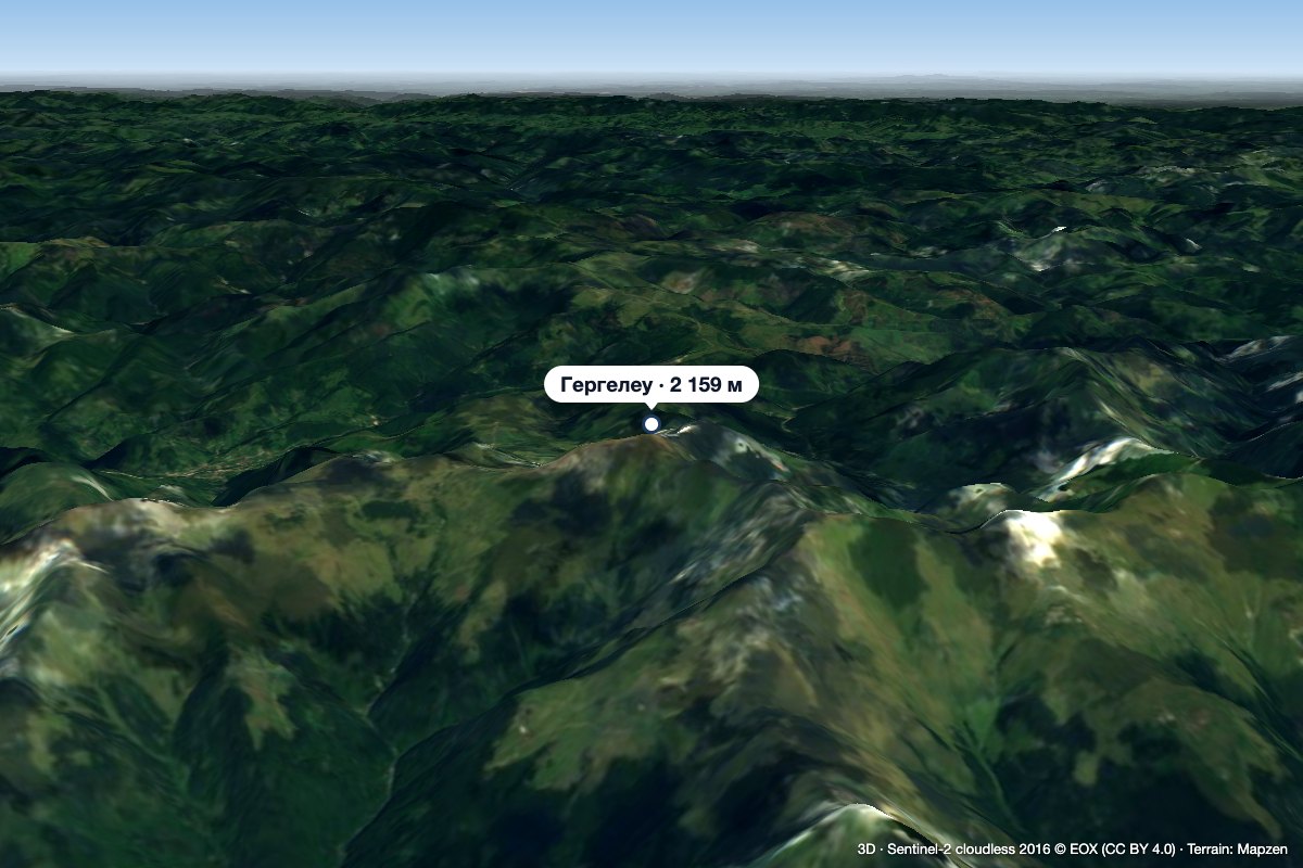 PeakGărgălăuValea Vinuluialtitude 2 159 m42 km from ȚibleșGărgălău (Romanian Vârful Gărgălău, also Gârgalău) is a 2,159 m summit in the eastern part of the Rodna Mountains, on the main ridge above the Borșa resort.
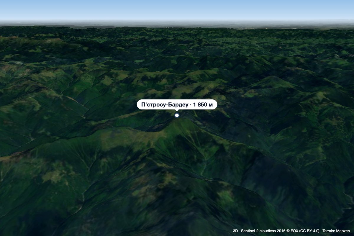 PeakPietrosu Bardăualtitude 1 850 m · Marmarosh range44 km from ȚibleșPietrosu Bardău (Romanian Vârful Pietrosu Bardău, also Pietrosul Bardăului) is a 1,850 m summit in the Romanian part of the Maramureș Mountains, in the north of...
