Între Izvoare – Tarnița Bârsanului
Trail map
Route, springs and shelters: © OpenStreetMap contributors (ODbL) · elevation: Copernicus DEM © DLR e.V., © Airbus DS · Data & licences
About the trail
Route Între Izvoare – Tarnița Bârsanului. Has yellow marking (local route). Waymarking data: OpenStreetMap (© OpenStreetMap contributors, ODbL).
Marked local tourist route. Marking is yellow, sign — vertical stripe on a white background. Length of the route — 9.6 km. Location: mountain range — Rodna, Romania. The route passes through the National Park "Rodna Mountains". Walking is allowed only on marked trails, campfires in the alpine zone and in the forest are prohibited, dogs must be kept on a leash, tents can only be set up in designated areas.
At a glance
A one-day route of 9.6 km with 1,169 m of ascent from Între Izvoare to Tarnița Bârsanului. Estimated walking time: about 4.5 h, not counting stops. Difficulty: moderate. Waymarking: yellow.
How we estimate walking time
By Naismith's rule, used by mountain clubs and guidebooks: an average hiker walks 4 km an hour on the flat and needs one more hour for every 600 m of ascent. For this trail: 9.6 km ÷ 4 = 2.4 h + 1,169 m ÷ 600 = 1.9 h, about 4.5 h of walking in total.
- Breaks, snacks and photos: add 20–30 %.
- A heavy pack, children, snow, a wet path or windfall add more; a long steep descent also takes time, especially for the knees.
- The height of the Carpathians (up to 2,655 m) hardly changes the pace — on the ridges wind, fog and weather slow you down.
- Limits: up to 9 h is one day; 9–13 h is a very long day or two; over 13 h means several days with overnight stays.
Route stages
- 0–9.5 kmClimb of 1,150 m (up to 1,989 m)
Steepest kilometre: km 4–5, a climb of 190 m (≈19%).
Water and overnight stays
Our map shows no springs near the trail — bring your own water (at least 2.5 l).
When to go
Best time: June to September. In winter only for experienced hikers with proper gear: avalanche danger is possible. About 4 km of the route runs above 1,500 m, where the weather changes quickly — check the forecast.
Getting there
Start: Între Izvoare. This is a one-way route: the finish is 5 km from the start in a straight line, so plan your way back in advance.
FAQ
- How long does the route take?
- Estimated walking time: about 4.5 h, not counting stops.
- Is there water on the route?
- Our map shows no springs near the trail — bring your own water (at least 2.5 l).
Wildlife along the route
AllComments
Trails nearby
All trails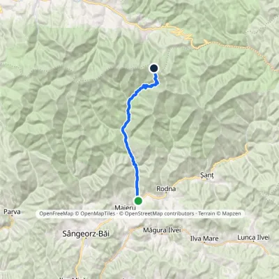 HardOne-dayMarkedAnieș Gărgălău SaddleElevation profile494–1 879 m24 kmascent 1 406 m≈ 8.5 h walking
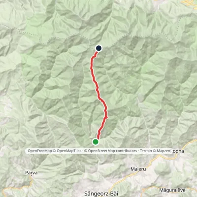 HardOne-dayMarkedCormaia La CărțiElevation profile607–1 852 m16.2 kmascent 1 767 m≈ 7 h walking
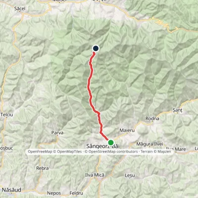 HardOne-dayMarkedCormaia Obârșia Rebrii SaddleElevation profile453–2 006 m24.7 kmascent 1 569 m≈ 9 h walking
