Kobyła – Lipnica Murowana
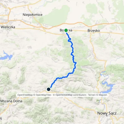
Trail map
Route, springs and shelters: © OpenStreetMap contributors (ODbL) · elevation: Copernicus DEM © DLR e.V., © Airbus DS · Data & licences
About the trail
Route Kobyła – Lipnica Murowana. Has black marking (regional route). Waymarking data: OpenStreetMap (© OpenStreetMap contributors, ODbL).
Officially marked regional tourist route. The marking is black, the sign is a horizontal stripe on a white background. The length of the route is 11 km. Location: mountain range — Ostry Beskid, Poland.
Attention: part of the route has not yet been mapped in OpenStreetMap, so the line on the map has gaps. On the ground, orient yourself by the marking signs.
At a glance
A one-day route of 11 km with 219 m of ascent and 490 m of descent from Kobyła to Lipnica Murowana. Estimated walking time: about 3 h, not counting stops. Difficulty: easy. Waymarking: black.
How we estimate walking time
By Naismith's rule, used by mountain clubs and guidebooks: an average hiker walks 4 km an hour on the flat and needs one more hour for every 600 m of ascent. For this trail: 11 km ÷ 4 = 2.7 h + 219 m ÷ 600 = 0.4 h, about 3 h of walking in total.
- Breaks, snacks and photos: add 20–30 %.
- A heavy pack, children, snow, a wet path or windfall add more; a long steep descent also takes time, especially for the knees.
- The height of the Carpathians (up to 2,655 m) hardly changes the pace — on the ridges wind, fog and weather slow you down.
- Limits: up to 9 h is one day; 9–13 h is a very long day or two; over 13 h means several days with overnight stays.
Route stages
- 0–3 kmDescent of 220 m (down to 365 m)
- 3–5 kmClimb of 150 m (up to 515 m)
- 5–6 kmDescent of 130 m (down to 388 m)
- 6–11 kmGentle ups and downs at 270–390 m
Steepest kilometre: km 0–1, a descent of 120 m (≈12%).
Water and overnight stays
Our map shows no springs near the trail — bring your own water (at least 2 l).
When to go
The route can be walked most of the year; it is most comfortable from April to October.
Getting there
Start: Kobyła. This is a one-way route: the finish is 6 km from the start in a straight line, so plan your way back in advance.
FAQ
- How long does the route take?
- Estimated walking time: about 3 h, not counting stops.
- Is there water on the route?
- Our map shows no springs near the trail — bring your own water (at least 2 l).
Comments and trail condition
Travellers’ experience: reports, tips, questions.
No one has reported on this trail yet. Been here lately? Tell others what it is like now.
Wildlife along the route
All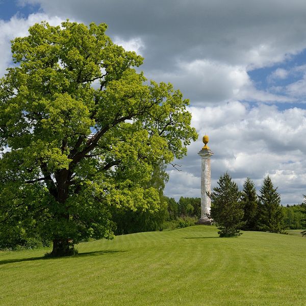
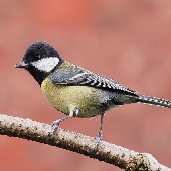

Based on naturalists’ records nearby (GBIF, iNaturalist), matched by altitude, habitat and season. Sightings are not guaranteed.
Trails nearby
All trails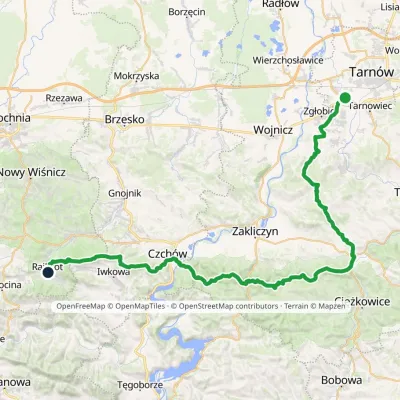
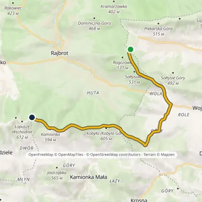
Craft nearby
All craft places Markets & fairsLipnica Murowana Palm Contest: giant Easter palms and fairLipnica Murowana6.9 km from the trailLipnica Murowana is a tiny historic town on the Wiśnicz Foothills, among orchards and hills between Bochnia and Limanowa.
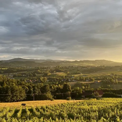 Wine & tastingsWinnica Nowizny, Połom Mały: wine from an 1891 cellarPorąbka Iwkowska7.2 km from the trailWinnica Nowizny is a family farm in the village of Połom Mały, Iwkowa municipality, in the Rożnów Foothills of Lesser Poland, north of Nowy Sącz and Lake Rożnów.
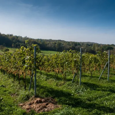 Wine & tastingsWinnica Chronów: natural wines where the Island Beskids beginChronów11 km from the trailWinnica Chronów lies where the Island Beskids (Beskid Wyspowy) begin, on the edge of the Wiśnicz-Lipnica Landscape Park, in the small village of Chronów in the Nowy...
 Markets & fairsFasolowe Żniwa in Rożnów: the Piękny Jaś bean harvest festivalRożnów13 km from the trailThe Dunajec valley around Lake Rożnów is famous for the large white “Piękny Jaś” (Beautiful Johnny) bean. “Fasola Piękny Jaś z Doliny Dunajca” holds EU Protected...
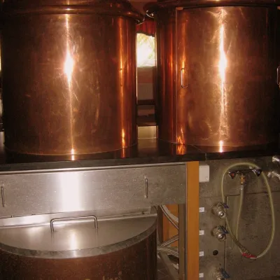 Craft shopsCistercian monastery shop, Szczyrzyc: abbey cheese, milk and Gryf beerSzczyrzyc23 km from the trailIts heart is the Cistercian abbey: the monks arrived in the first half of the 13th century and, according to the monastery itself, have lived here without interruption...
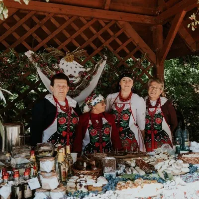 Markets & fairsFruit Harvest Festival in Łącko: village stands, fruit and folkloreŁącko27 km from the trailŁącko, in the Dunajec valley between Stary Sącz and the Pieniny, is one of Poland's best-known fruit-growing areas: the slopes around are covered with apple, pear and...
