Pipitka
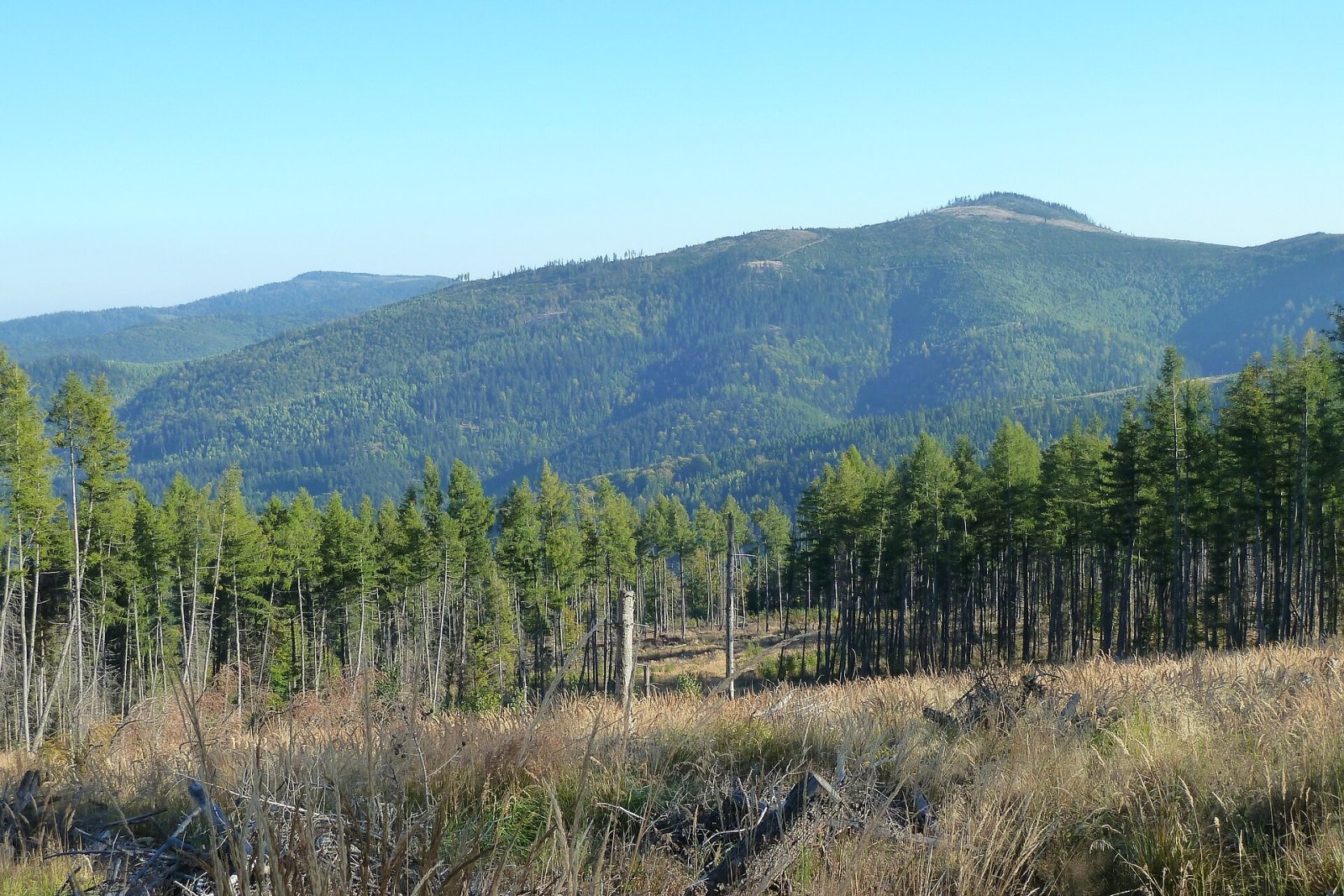
Pipitka (Hungarian Pipityke) is a 1225 m summit in the Volovské vrchy, part of the Slovak Ore Mountains. It is the highest point of its geomorphological subunit, which is named after it. The mountain rises above the village of Úhorná (about 2.4 km), some 9 km east of Rožňava, in the Košice Region; the summit lies on the lands of Drnava and partly Úhorná and Smolník. Other nearby villages are Pača (about 5 km), Drnava (5 km) and Kováčová (5 km). According to Hungarian sources it is the summit over 1200 m closest to Hungary: the border is only about 12 km away.
Pipitka lies on the ridge that runs south from Zlatý stôl over the Úhornianske sedlo saddle (999 m) and then south-east to Osadník (1186 m); it is just under 3 km from the saddle. To the north stand Biele skaly (1252 m) and Hekerová (1260 m), to the east Orlia studňa (1103 m) and Osadník, to the west Malá Pipitka (1087 m). Water from the northern and eastern slopes flows via the Smolník stream to the Hnilec, while the southern slopes drain through tributaries of the Čremošná into the Slaná basin.
How to get there / routes
No marked trail leads to the summit itself. Close by, on the northern slope, the red trail – the Slovak National Uprising Heroes' Trail (part of the European path E8) – traverses the mountain:
- From the north-west – from Skalisko via the Úhornianske sedlo.
- From the east – from the Bodovka junction via Orlia studňa.
- A green trail reaches the Úhornianske sedlo from Pača in the west and from Úhorná in the north.
Hungarian authors consider Drnava the easiest approach. The sources give no official walking times, and the last stretch to the summit is unmarked – take a detailed map.
What you can see from the top
The summit is covered by sparse, broken woodland, so views open from individual spots. You can see other parts of the Volovské vrchy and, in good weather, the Tatras, the Slanské vrchy, the Slovak Karst, the Revúca Highlands, the Stolica Mountains and the Low Tatras. The boulder field below the summit gives a superb view of the Rožňava basin and the karst plateaus of the Slovak-Hungarian Karst.
Nature and history
Pipitka is built of old crystalline rocks that emerge in places as rock ledges and walls, and on the southern slopes below the summit form a large boulder field. The slopes are fairly steep, stony in places and cut by the valleys of many streams. The massif is almost entirely forested – beech lower down, spruce higher up. The summit was once cleared by intensive grazing but became forested again during the 20th century. In the early 21st century the spruce stands, weakened by bark beetle, were badly hit by windthrow.
From the 18th century the massif was an area of intensive mining: numerous small mines on the lands of Krásnohorské Podhradie and Drnava extracted iron ore until the mid-20th century. Their traces – adits and spoil heaps – are clearly visible on the south-western and southern slopes.
Safety, season and rules
Pipitka is a wooded mid-mountain summit accessible all year, but off the marked trail it is easy to lose your way, and old adits and spoil heaps are dangerous – do not enter them. Windthrow can leave fallen trees across paths. Slovak Mountain Rescue Service (HZS): 18 300 (+421 18 300) or 112.
Interesting facts
- Pipitka already appears in the Geographical Dictionary of the Kingdom of Poland of 1887.
- A whole subunit of the Volovské vrchy is named after the mountain.
- The Hungarian border is only about 12 km from the summit.
Photos: SanoAK: Alexander Kürthy, CC BY-SA 4.0 — Wikimedia Commons.
Getting there from Ukraine
Border crossings
- Uzhhorod – Vyšné Nemecké — road, 24/7
- Malyi Bereznyi – Ubľa — road, 24/7 For cars and buses; pedestrians not confirmed by the Ukrainian border service, lorries up to 3.5 t.
- Mali Selmentsi – Veľké Slemence (pedestrian) — pedestrian, 09:00–21:00 Kyiv time Pedestrians and cyclists only; inconvenient for the Tatras without onward transport.
- Chop – Čierna nad Tisou (rail) — rail, 24/7
By car
From Uzhhorod ≈182 km, ≈2 h 45 min without queues: Uzhhorod – Vyšné Nemecké → I/19 via Sobrance and Michalovce to Košice → D1 motorway via Prešov to the exit near Levoča → road 533 to Spišská Nová Ves (≈177 km, ≈2 h 30 min from the border). From Lviv via Uzhok and Ubľa ≈407 km, ≈6 h 40 min; through Poland (Kraków – Nowy Targ) ≈496 km, ≈6 h 20 min. The D1 requires an e-vignette (eznamka.sk).
Checked 23.10.2026; border crossing hours and timetables change — check before you travel.
Location on the map
Water and shelter nearby
- Pipitka Spring320 m · Not verified · 1 163 m
- Geostudnička under Urvisko Spring2 km · Not verified · 739 m
- SNP Úhorná Hut2.2 km · Not verified · 1 021 m
- Drinking water below Hrb (south slope), 699 m2.4 km · Not verified · 699 m
- Smolníka Spring2.4 km · Not verified · 1 009 m
- Spring below Hrb (south slope)2.4 km · Not verified · 712 m
- Stará vŕba Spring2.5 km · Not verified · 749 m
- Zimná voda Spring, 1 025 m2.8 km · Not verified · 1 025 m
- Geostudnička Dolinky Spring3 km · Not verified · 860 m
Comments
Trails nearby
All trails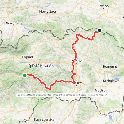 HardMulti-dayMarkedPred Čuntavou Dukliansky PassElevation profile227–1 293 m280.7 kmascent 8 346 munder 1 km from Pipitka
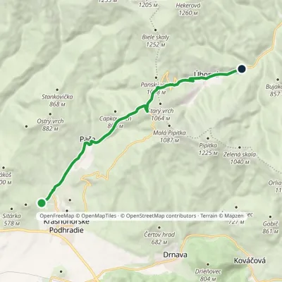 ModerateOne-dayMarkedJunction to Pača Úhorná ReservoirElevation profile392–1 002 m11.3 kmascent 605 m≈ 4 h walking2.3 km from Pipitka
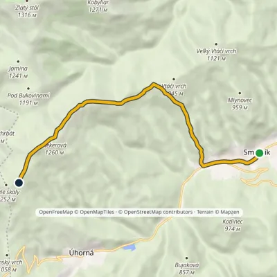 ModerateOne-dayMarkedSmolník Pod Bielymi skalamiElevation profile556–1 260 m9.4 kmascent 715 m≈ 4 h walking4.7 km from Pipitka
Nearby attractions
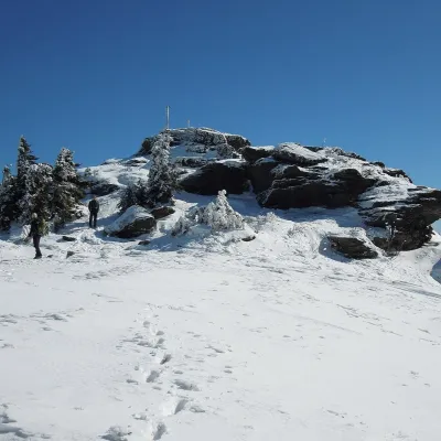 PeakSkaliskoBetliaraltitude 1 293 m10 km from PipitkaSkalisko (Hungarian Pozsálló; the massif is often called Volovec) is the second highest summit of the Volovské vrchy, part of the Slovak Ore Mountains, at 1,293 m.
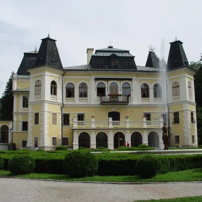 CastleBetliar Manor HouseBetliar12 km from PipitkaBetliar Manor (Kaštieľ Betliar) is the most visited country house in south-eastern Slovakia. It stands in the village of Betliar, 7 km north of the town of Rožňava on...
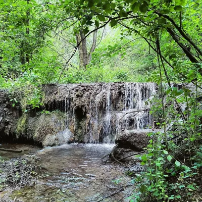 WaterfallHáj waterfalls in the Slovak KarstHáj14 km from PipitkaThe Háj waterfalls (Hájske vodopády, Hungarian Áji vízesések) are a cascade of travertine waterfalls in the Háj valley in the Slovak Karst National Park (Slovenský...
Craft nearby
All craft places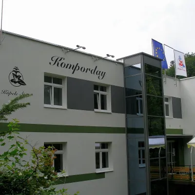 Water parks & thermal poolsŠtós spa: climatic cure, speleotherapy and poolŠtós9.4 km from PipitkaKúpele Štós is a climatic spa in south-eastern Slovakia, in the settlement of Štós-kúpele a few kilometres north of the mining village of Štós, where the Volovské...
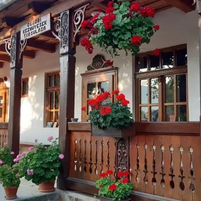 Markets & fairsGemer Craft Fair at Krásnohorská Dlhá Lúka below Krásna HôrkaKrásnohorská Dlhá Lúka9.5 km from PipitkaKrásnohorská Dlhá Lúka is a village below Krásna Hôrka castle, a few kilometres from Rožňava. In 2002 the Association of Gemer Craftsmen (Združenie gemerských...
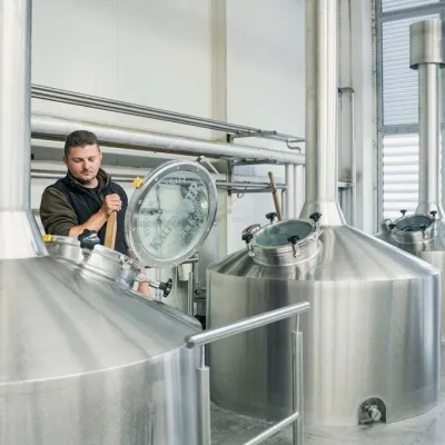 Craft beer & breweriesKaltenecker Brewery, Rožňava: Gemer craft beer from the sourceRožňava11 km from PipitkaThe modern Kaltenecker brewery was founded in 1997, and from the start it took a different path from the big breweries of the day: instead of one-size-fits-all beer, a...
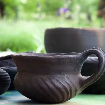 Crafts & workshopsHáj Pottery: wheel-thrown ceramics and wood-fired kilns in HájHáj14 km from PipitkaAt the back of an old farmhouse here is Háj Pottery (Hájske hrnčiarstvo), run by Amália Holíková. She throws utility ware on the wheel and models it by hand, but her...
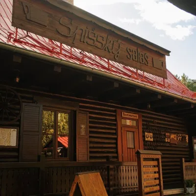 Koliby & Hutsul cuisineSpišský salaš below Spiš Castle: Spiš cooking since 1964Spišská Kapitula36 km from PipitkaBetween Spiš Castle and Spišská Kapitula, at the edge of the plain below the travertine mound of Sivá brada, stands the wooden Spišský salaš.
 Craft beer & breweriesHerrenwald craft brewery, Malá Ida: tour with the brewerMalá Ida36 km from PipitkaThe Herrenwald brewery stands in its Panský les ("Lords’ Wood") quarter, from whose German name it takes its own.
