Bôr
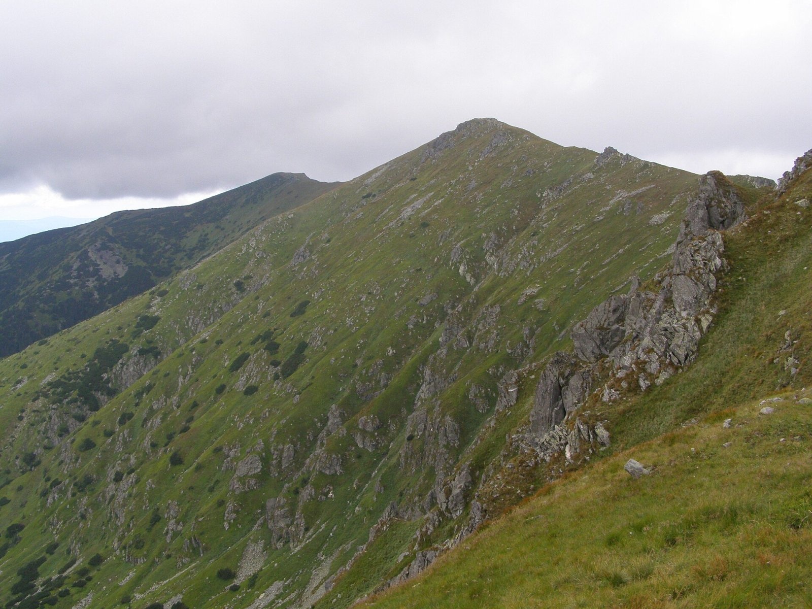
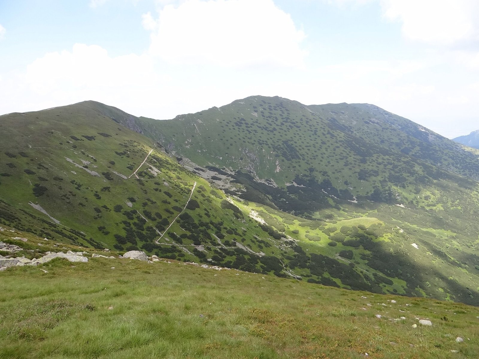
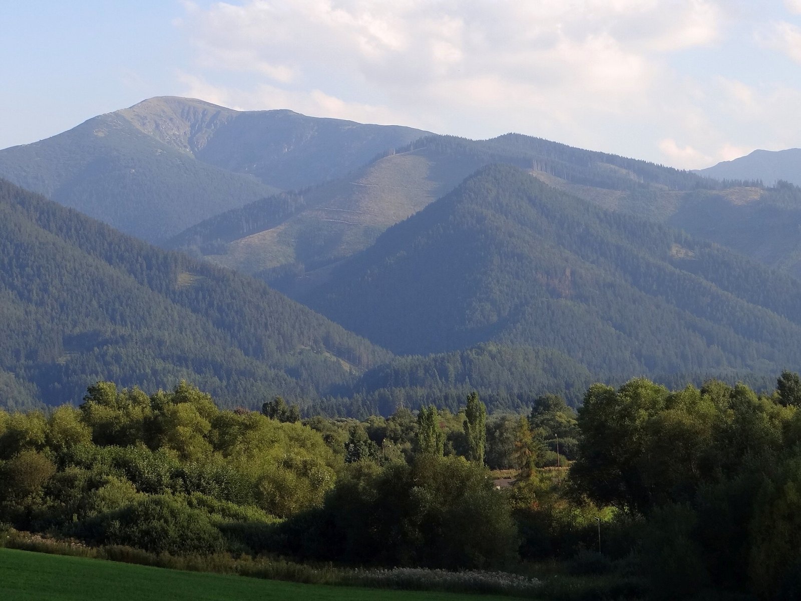
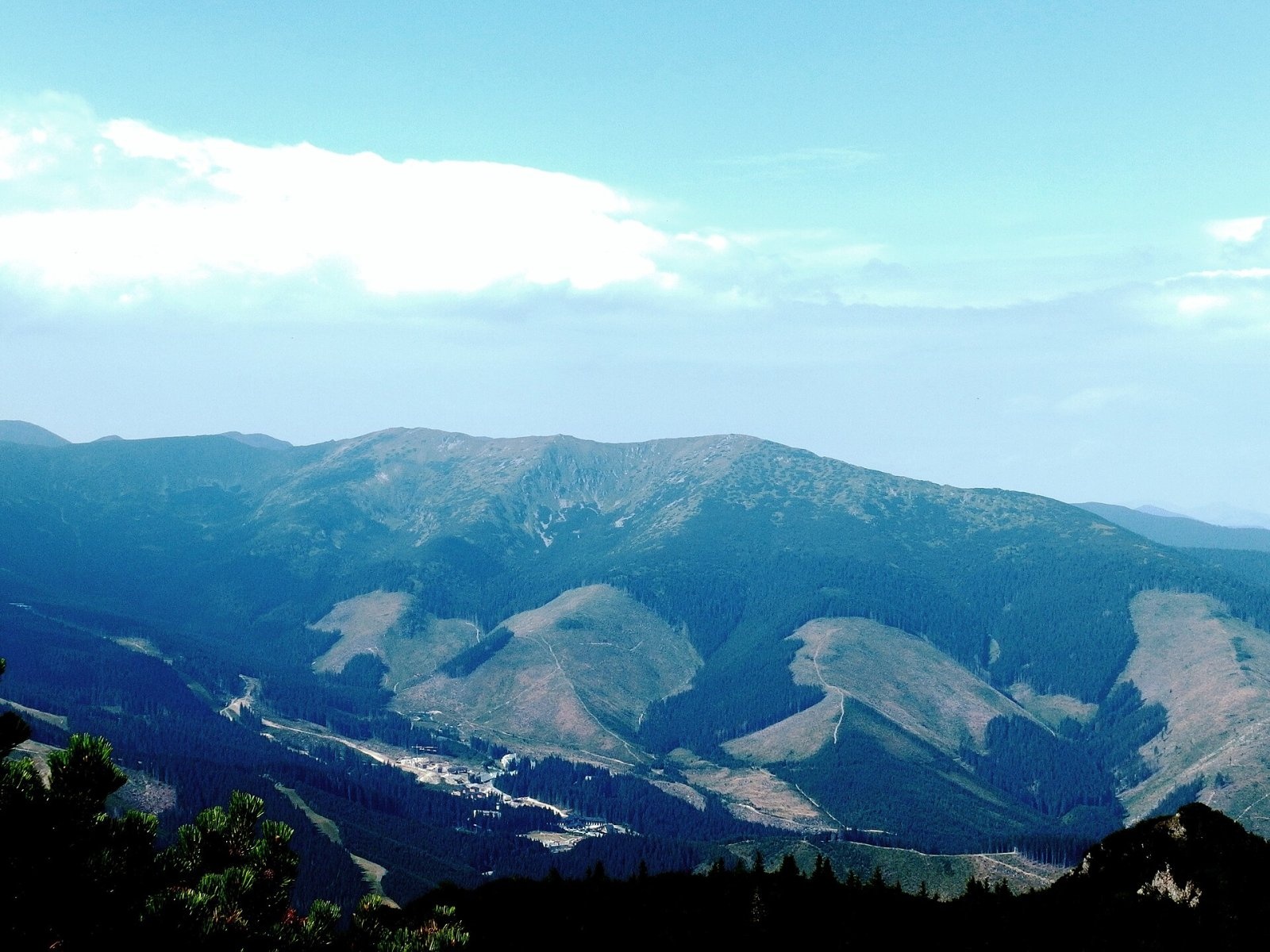
Bôr (also Bory, Bôry) is a 1888 m summit in the Low Tatras in Slovakia, about 13 km south-west of Liptovský Mikuláš. It lies in the central part of the range, in the Ďumbier Tatras, above the Demänová valley, in the cadastres of Demänovská Dolina and Lazisko in the Liptovský Mikuláš District of the Žilina Region. Bôr is a three-topped mountain on a side ridge that runs north from Poľana (1889 m) on the main ridge and continues via Zákľuky (1915 m) to Siná (1560 m). Its highest top lies about 2 km north of Poľana.
Bôr is a junction summit: here the ridge splits into two arms enclosing the Mošnica valley, a branch of the Krížska valley. The ridge separates the upper Demänová valley in the east from the Krížska valley in the west. Around it rise Krakova hoľa (1752 m), Tanečnica and Konský grúň to the east, Dereše (2004 m), Poľana and Kotliská (1937 m) to the south, Ostredok, Spálená and Rakytová to the west, and Jaloviarka and Siná to the north. The Palúdžanka stream drains the west and tributaries of the Demänovka the east, all in the Váh basin.
How to get there / routes
A yellow-marked trail crosses the summit along the ridge of the northern spur:
- from the car park at the Demänovská Cave of Liberty in the Demänová valley via Sedlo Sinej and Bôr to Zákľuky and Poľana – about 3:40 h up and 2:45 h down;
- from the south – from Poľana on the main ridge, where the yellow trail crosses the red Cesta hrdinov SNP.
What you can see from the top
The summit and ridge are covered only by low alpine-meadow vegetation, so there is a full panorama. In good conditions you can see the neighbouring Low Tatra peaks as well as the High and Western Tatras, the Choč Mountains, the Orava Magura and the Beskids, and the Greater and Lesser Fatra.
Nature and history
Like the whole main ridge of the Ďumbier Tatras, the massif is built of "Ďumbier-type" granite. These hard rocks give rounded shapes, an even ridge line and relatively gentle slopes, though groups of rocks stand on the ridge and many gullies score the slopes. Small cirques and nivation hollows at the foot are traces of former glaciation. In the 17th and 18th centuries the slopes of Bôr, especially on the Krížska side, were intensively mined for iron ore; heaps of waste rock are still recognisable. The old folk name of the mountain, Halny (Borhalmi on older maps), dates from that time.
Safety, season and rules
Bôr lies in the Low Tatras National Park, and its slopes are one of the main refuges of the Tatra chamois in the range. The yellow trail over the summit is therefore closed seasonally, roughly from October to the end of June (sources give 1 or 16 October as the start). Check the current restrictions on the NAPANT park website before setting out. Since 15 July 2026 government regulation 189/2026 divides the park into zones A–D; in zone A walking is allowed only on marked trails. The ridge is exposed to wind and storms. Slovak Mountain Rescue Service (HZS): 18 300 (+421 18 300); general emergency number 112.
Interesting facts
- Bôr has three tops; the highest is 1888 m.
- The old name Halny recalls the mines on its slopes.
Photos: Daniel Baránek, CC BY-SA 3.0; Jerzy Opioła, CC BY-SA 4.0; Jerzy Opioła, CC BY-SA 4.0; Palickap, CC BY-SA 4.0 — Wikimedia Commons.
Getting there from Ukraine
Border crossings
- Uzhhorod – Vyšné Nemecké — road, 24/7
- Malyi Bereznyi – Ubľa — road, 24/7 For cars and buses; pedestrians not confirmed by the Ukrainian border service, lorries up to 3.5 t.
- Mali Selmentsi – Veľké Slemence (pedestrian) — pedestrian, 09:00–21:00 Kyiv time Pedestrians and cyclists only; inconvenient for the Tatras without onward transport.
- Chop – Čierna nad Tisou (rail) — rail, 24/7
By car
From Uzhhorod to Brezno ≈274 km, ≈3 h 50 min without queues: Uzhhorod – Vyšné Nemecké → I/19 to Košice → D1 via Prešov and Poprad to the exit near Liptovský Hrádok → I/18 and I/72 over the Čertovica Pass to Brezno. To Banská Bystrica ≈322 km, ≈4 h 30 min: D1 to Ružomberok, then I/59 via Donovaly. From Lviv: to Brezno via Uzhok and Ubľa ≈498 km (≈7 h 45 min) or through Poland ≈554 km (≈7 h 05 min); to Banská Bystrica through Poland (Kraków – Chyżne – Trstená – Dolný Kubín – Ružomberok) ≈535 km, ≈7 h 15 min. The D1 requires an e-vignette (eznamka.sk).
Checked 23.10.2026; border crossing hours and timetables change — check before you travel.
Location on the map
Water and shelter nearby
- Kliny Spring, 1 698 m530 m · Not verified · 1 698 m
- Spring below Bôr (east slope)620 m · Not verified · 1 587 m
- Spring below Tanečnica (south slope), 1 630 m630 m · Not verified · 1 630 m
- Príslop640 m · Not verified · 1 664 m
- Spring below Bôr (north-east slope), 1 573 m650 m · Not verified · 1 573 m
- Spring below Tanečnica (south slope), 1 684 m650 m · Not verified · 1 684 m
- Spring below Tanečnica (south slope), 1 710 m680 m · Not verified · 1 710 m
- Havrany740 m · Not verified · 1 720 m
- Spring below Zákľuky (north slope)740 m · Not verified · 1 703 m
- Spring below Tanečnica (south-west slope), 1 564 m740 m · Not verified · 1 564 m
- Tanečnica, 1 575 m790 m · Not verified · 1 575 m
- Spring below Tanečnica (south-west slope), 1 556 m810 m · Not verified · 1 556 m
- Zákluky Spring890 m · Not verified · 1 752 m
- Spring below Bôr (north-east slope), 1 506 m930 m · Not verified · 1 506 m
- Spring below Tanečnica (south-west slope), 1 458 m990 m · Not verified · 1 458 m
- Spring below Brestová (south-east slope)1.1 km · Not verified · 1 440 m
Comments
Trails nearby
All trails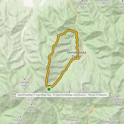 HardTwo-dayMarkedDemänovská jaskyňa Slobody, loop Demänovská jaskyňa SlobodyElevation profile837–1 915 m17.6 kmascent 1 265 m≈ 7 h walkingunder 1 km from Bôr
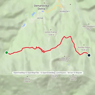 EasyOne-dayMarkedTri Vody End of Široká ValleyElevation profile1 359–1 676 m6.4 kmascent 347 m≈ 2.5 h walking1.8 km from Bôr
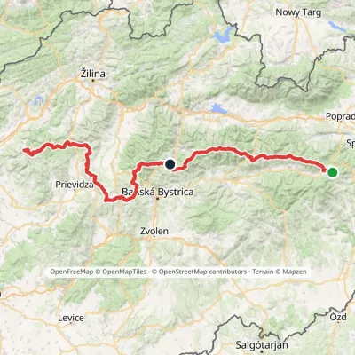 HardMulti-dayMarkedHorná Poruba, U Brdárov Pred ČuntavouElevation profile309–2 004 m241.6 kmascent 15 694 m2 km from Bôr
Nearby attractions
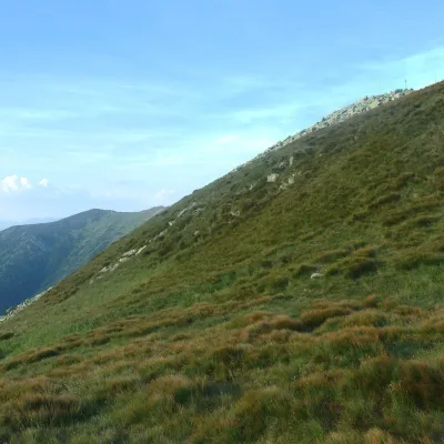 Mountain meadowHole of the Low Tatras between Chopok and ChabenecLaziskoaltitude 1 890 m2 km from BôrThe highest section of the grassy main ridge of the Low Tatras (Nízke Tatry) runs west from Chopok (2,024 m), reached by cable cars from the Jasná resort, over Dereše ...
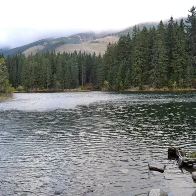 LakeVrbické pleso in the Demänovská valleyDemänovská Dolina2.5 km from BôrVrbické pleso is the largest natural lake in the Low Tatras. It lies at 1,113 m in the upper western part of the Demänovská dolina, on the right-hand slope of the side...
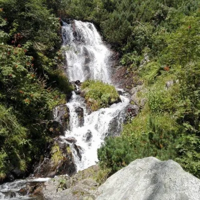 WaterfallVajskovský vodopád (Vajskovský Waterfall)Demänovská Dolina3.4 km from BôrVajskovský vodopád is a cascading waterfall in the upper part of the Vajskovská dolina on the southern side of the Low Tatras, within the Low Tatras National Park ...
Craft nearby
All craft places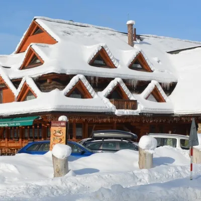 Koliby & Hutsul cuisineKoliba Strachanovka, Jánska valleyLiptovský Ján12 km from BôrKoliba Strachanovka (Jánska koliba) is a large wooden koliba at the entrance to the Jánska valley in the village of Liptovský Ján, which locals consider one of the...
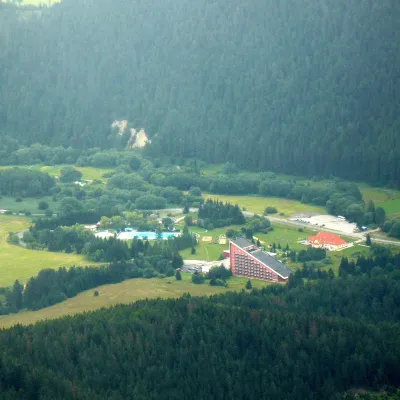 Water parks & thermal poolsTERMAL raj thermal bath, Liptovský JánLiptovský Ján13 km from BôrLiptovský Ján: thermal water at the entrance to Jánska dolina Liptovský Ján is an old village in southern Liptov, about 10 km from Liptovský Mikuláš, at the entrance...
 Craft beer & breweriesLiptovar brewery, Liptovský Mikuláš: craft beer and brewpubLiptovský Mikuláš14 km from BôrLiptovský Mikuláš is the main town of the Liptov region, a short drive from the Low and Western Tatras, the Demänovská Valley and the Liptovská Mara reservoir.
 Koliby & Hutsul cuisineSalaš Dechtáre above Liptovská MaraGalovany14 km from BôrSalaš Dechtáre is a wooden koliba above the Liptovská Mara reservoir that is described as one of Slovakia’s first commercial salaš restaurants.
 Water parks & thermal poolsAquapark TatralandiaLiptovský Mikuláš16 km from BôrAquapark Tatralandia is a large year-round water leisure complex near Liptovský Mikuláš, on the northern shore of the Liptovská Mara reservoir.
 Water parks & thermal poolsBešeňová Water ParkBešeňová17 km from BôrBešeňová — the "thermal heart of Liptov" Bešeňová Water Park (Vodný park Bešeňová) lies on the edge of the village of the same name in the western part of the Liptov...
