Sivý vrch
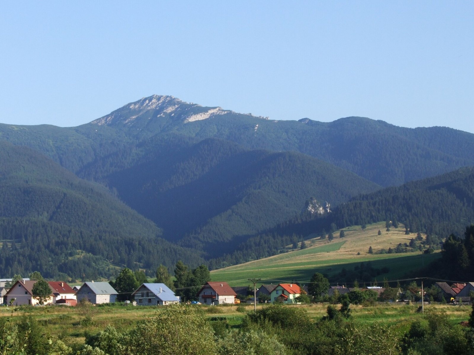
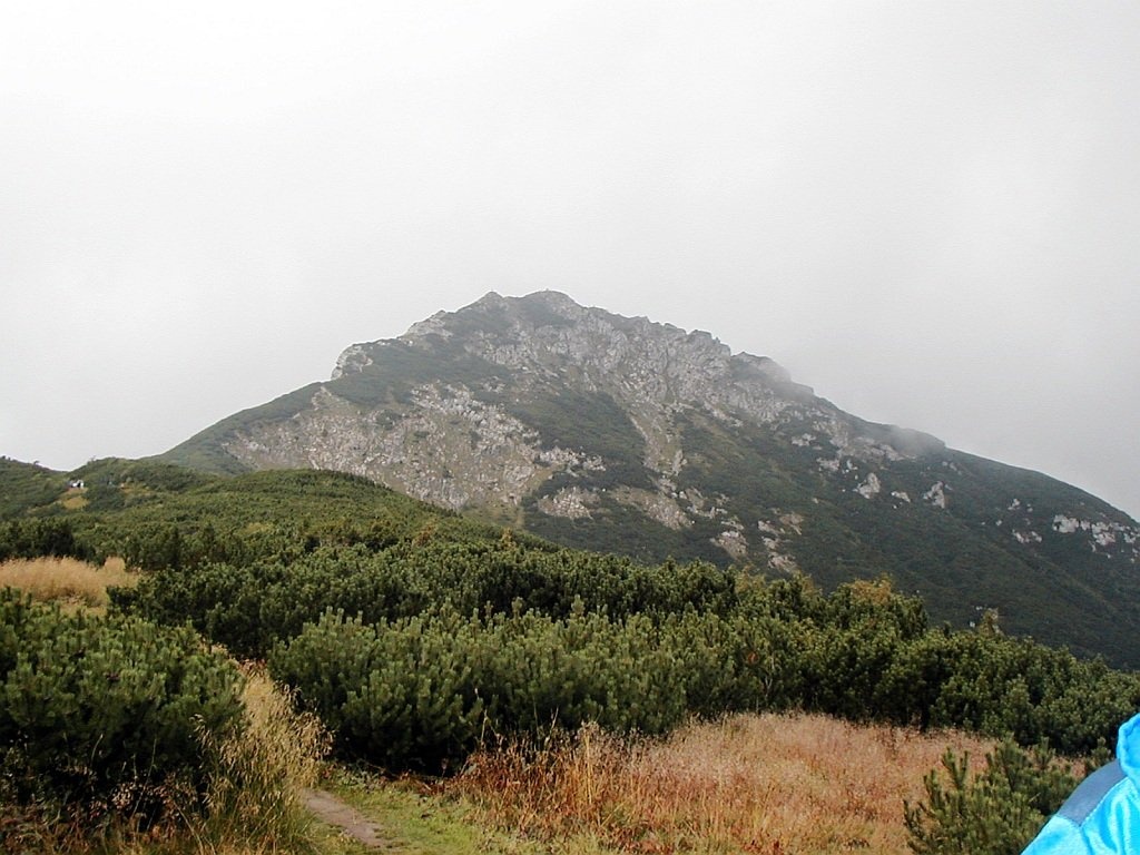
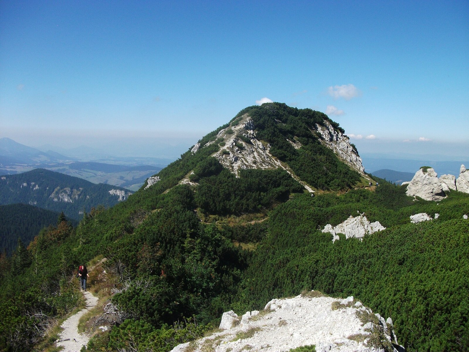
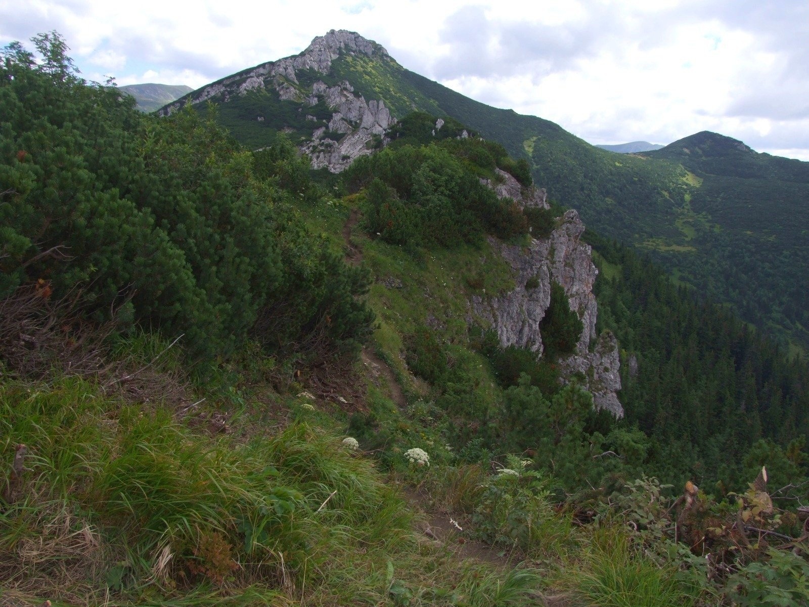
Sivý vrch (Polish Siwy Wierch) is a prominent rocky peak 1805 m high on the main ridge of the Western Tatras in Slovakia. It is the last major summit of the Tatras to the west: beyond it the ridge drops via Biela skala (1316 m) to the Hutianský pass. Sivý vrch stands above the village of Zuberec, about 18 km south of Tvrdošín. The ridge carries the border between the historical regions of Orava and Liptov and the Tvrdošín and Liptovský Mikuláš Districts. The nearest villages are Huty (5 km west) and Zuberec (6 km north), with Bobrovček, Jalovec and Žiar to the south.
To the west the Sivý priechod saddle (1610 m) separates it from Sivá kopa (1631 m); to the east the broad Pálenica saddle (1572 m) divides it from Zuberec peak and further from Brestová (1903 m). Sivý vrch is a junction: a mighty side ridge runs south via Ostrá (1764 m) to Babky (1566 m), and the indistinct Čelo ridge runs north. Its slopes fall into four valleys: the Suchá dolina to the south-west (the westernmost main valley of the Tatras), the Bobrovecká dolina to the east, and the Sivá and Suchá Zuberská valleys to the north.
How to get there / routes
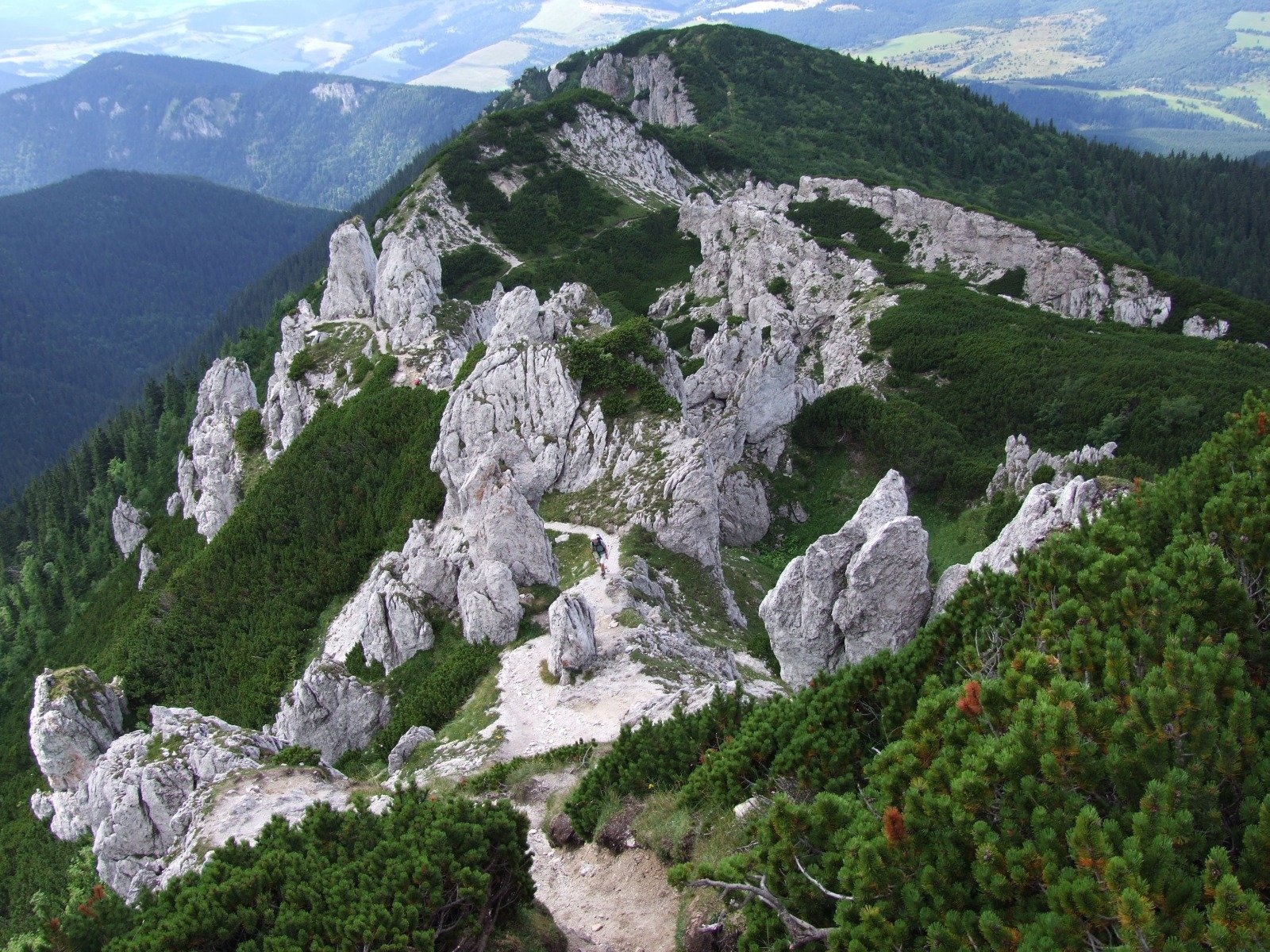
- Red trail – the western end of the Tatra main route (Tatranská magistrála): from the road at Vyšný Hutianský priesmyk via Biela skala to the summit takes about 3 h, 2 h down. Between Sivá kopa and Sivý vrch there are two difficult sections secured with chains. The red trail continues east via the Pálenica saddle (30 min, 40 min back) to Brestová and the Baníkovské sedlo.
- Green trail – from the Bobrovecká vápenica (the junction below Tokáreň) via Babky and Predúvratie: 3 h 45 min up, 2 h 30 min down, over 1200 m of total ascent.
- Yellow trail – to the Pálenica saddle from the south from Jalovec (via the Jalovecká and Bobrovecká valleys) or from the north from Zuberec via Zadný Ivanov, then red to the summit.
What you can see from the top
From the partly rocky summit you see the neighbouring Western Tatras peaks – Brestová, Salatín, Spálená, Pachoľa – as well as the Skorušina and Choč Mountains, the Orava Beskids, Oravská Magura, the Lesser and Greater Fatra and the Low Tatras. Right below to the north lies the Zuberec basin with the villages of Zuberec and Habovka.
Nature and history
The massif is built of limestones and dolomites of the Choč nappe, which form a so-called rock town – a labyrinth of towers, bastions and crevices called Radové skaly. Karst covers about 30 km², and the wider massif has 62 known caves with a total passage length of 1028 m; the largest is the Studňa v Sivom vrchu shaft (250 m). The forest reaches 1400–1500 m; higher up grow stunted spruce, rowan and dwarf pine.
The limestone rocks have an exceptionally rich flora. This is the only place in the whole Tatras where the glossy pink (Dianthus nitidus) grows – very rare in Slovakia and extinct in Poland; another palaeo-endemic is the Tatra saxifrage. In June the slopes are covered with large carpets of mountain avens, and glacial relics such as the alpine and net-leaved willows occur. The Sivý vrch reserve (112.67 ha) was created in 1974 to protect the flora and invertebrates; the whole summit lies in Tatra National Park (TANAP), and the south-western part also in the Suchá dolina reserve.
A document from 1615 calls the mountain Biela skala (White Rock); in 1736 Matej Bel named it "Szczyt Sywy", or Mons Griseus – the Grey Mountain. The Polish geologist Ludwik Zejszner worked here in 1842, and the botanist Bolesław Kotula studied the flora. The first known winter ascent was Polish – Józef Grabowski and companions in 1914.
Safety, season and rules
The chained sections of the red trail are very slippery in winter and after rain, and the limestone ridge is steep – do not leave the path. In TANAP you may walk only on marked trails; the park's high-mountain trails, mostly above the tree line, are closed every year from 1 November to 31 May – check the current list of closed sections on the TANAP website before setting out. Do not pick plants in the reserves. Slovak Mountain Rescue Service (HZS): 18 300 (+421 18 300); general emergency number 112.
Interesting facts
- Sivý vrch is the westernmost Tatra peak above 1800 m.
- It is the only place in the Tatras where the glossy pink grows.
- The 18th-century Latin name "Mons Griseus" means the same – "Grey Mountain".
Photos: Jerzy Opioła, CC BY-SA 4.0; Miroslav Blaho, CC BY-SA 3.0; Patrik Pacut, CC BY 3.0; Jerzy Opioła, CC BY-SA 4.0; Jerzy Opioła, CC BY-SA 4.0; Teslaton, CC BY 4.0 — Wikimedia Commons.
Getting there from Ukraine
Border crossings
- Uzhhorod – Vyšné Nemecké — road, 24/7
- Malyi Bereznyi – Ubľa — road, 24/7 For cars and buses; pedestrians not confirmed by the Ukrainian border service, lorries up to 3.5 t.
- Mali Selmentsi – Veľké Slemence (pedestrian) — pedestrian, 09:00–21:00 Kyiv time Pedestrians and cyclists only; inconvenient for the Tatras without onward transport.
- Chop – Čierna nad Tisou (rail) — rail, 24/7
By car
From Uzhhorod ≈275 km, ≈3 h 35 min without queues: Uzhhorod – Vyšné Nemecké → I/19 to Košice → D1 motorway via Prešov, Poprad and Liptovský Mikuláš to Ružomberok (≈270 km, ≈3 h 25 min from the border). From Lviv it is faster through Poland: M-10 → Krakovets – Korczowa → A4 to Kraków → S7/DK7 to the Chyżne – Trstená border → R3 and I/59 via Dolný Kubín to Ružomberok: ≈482 km, ≈6 h 15 min (via Uzhok and Ubľa ≈500 km, ≈7 h 30 min). The D1 requires an e-vignette (eznamka.sk).
Checked 23.10.2026; border crossing hours and timetables change — check before you travel.
Location on the map
Water and shelter nearby
- Spring below Sivý vrch (south-west slope), 1 659 m240 m · Not verified · 1 659 m
- Spring below Sivý vrch (south-west slope), 1 638 m260 m · Not verified · 1 638 m
- Spring below Sivý vrch (south slope)300 m · Not verified · 1 668 m
- Spring below Sivý vrch (west slope), 1 563 m (2)390 m · Not verified · 1 563 m
- Spring below Sivý vrch (west slope), 1 563 m430 m · Not verified · 1 563 m
- Spring below Sivý vrch (west slope), 1 555 m510 m · Not verified · 1 555 m
- Spring below Malá Ostrá (north-west slope), 1 592 m520 m · Not verified · 1 592 m
- Spring below Malá Ostrá (north-west slope), 1 595 m550 m · Not verified · 1 595 m
- Spring below Sivá kopa (south-east slope)690 m · Not verified · 1 488 m
- Spring below Malá Ostrá (west slope)790 m · Not verified · 1 595 m
- Spring below Sivá kopa (south slope), 1 421 m850 m · Not verified · 1 421 m
- Spring below Malá Ostrá (south-east slope), 1 571 m880 m · Not verified · 1 571 m
- Spring below Sivá kopa (south slope), 1 416 m890 m · Not verified · 1 416 m
- Spring below Sivá kopa (south slope), 1 449 m910 m · Not verified · 1 449 m
- Spring below Malá Ostrá (south slope), 1 638 m920 m · Not verified · 1 638 m
- Spring below Sivá kopa (south slope), 1 409 m920 m · Not verified · 1 409 m
Comments
Trails nearby
All trails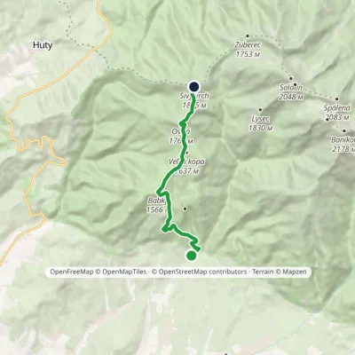 ModerateOne-dayMarkedNa Tokarinách Sivý PeakElevation profile790–1 805 m8.6 kmascent 1 189 m≈ 4.5 h walkingunder 1 km from Sivý vrch
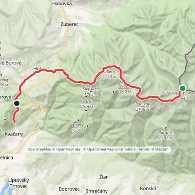 HardMulti-dayMarkedÚstie Kvačianskej doliny Pyšné sedlovia VolovecElevation profile644–2 178 m27.6 kmascent 1 566 m≈ 10 h walkingunder 1 km from Sivý vrch
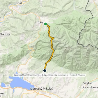 ModerateTwo-dayMarkedJalovec ZuberecElevation profile683–1 579 m17.6 kmascent 786 m≈ 6 h walkingunder 1 km from Sivý vrch
Nearby attractions
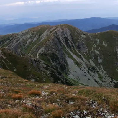 PeakBrestováZuberecaltitude 1 903 m3.1 km from Sivý vrchBrestová (in some sources Malá Brestová; Polish Brestowa) is a 1903 m summit on the main ridge of the Western Tatras, in the Roháče part, in Slovakia.
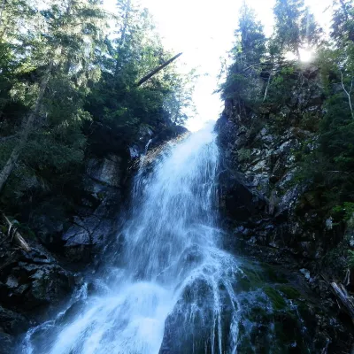 WaterfallRoháčsky WaterfallZuberec6.4 km from Sivý vrchRoháčsky waterfall (Roháčsky vodopád) is the best-known waterfall of the Western Tatras, in the Roháče massif about 12 km east of the village of Zuberec in Orava.
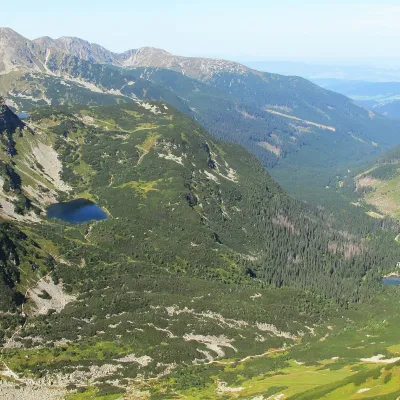 LakeRoháčske plesá7.4 km from Sivý vrchRoháčske plesá are a cascade of four glacial lakes at the head of Roháčska dolina in the Western Tatras, in the Orava region.
Craft nearby
All craft places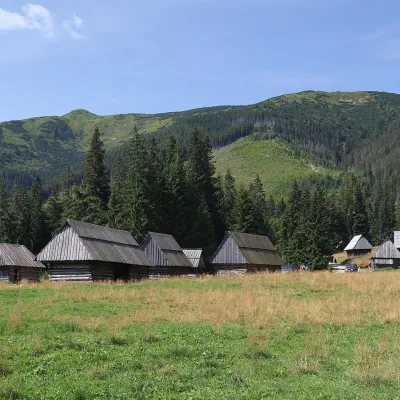 Cheese dairies & pasturesShepherds' Huts on Polana ChochołowskaKościelisko11 km from Sivý vrchPolana Chochołowska is the largest glade in the Polish Tatras and one of the largest in the whole range.
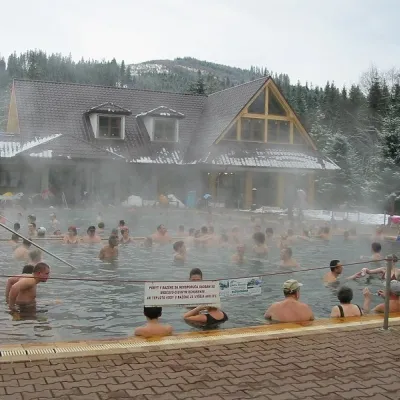 Water parks & thermal poolsOravice thermal poolsVitanová12 km from Sivý vrchThe Oravice thermal pools (Termálne kúpalisko Oravice) are the municipal thermal baths in the mountain settlement of Oravice at the foot of the Western Tatras.
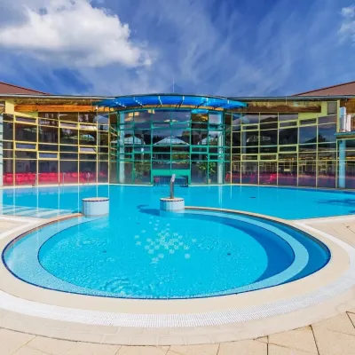 Water parks & thermal poolsMeander Thermal Resort, OraviceVitanová13 km from Sivý vrchMeander Thermal & Ski Resort (formerly Meander Park) is a thermal water park and ski centre in the mountain settlement of Oravice in northern Slovakia, at the foot of...
 Water parks & thermal poolsAquapark TatralandiaLiptovský Mikuláš13 km from Sivý vrchAquapark Tatralandia is a large year-round water leisure complex near Liptovský Mikuláš, on the northern shore of the Liptovská Mara reservoir.
 Craft beer & breweriesLiptovar brewery, Liptovský Mikuláš: craft beer and brewpubLiptovský Mikuláš15 km from Sivý vrchLiptovský Mikuláš is the main town of the Liptov region, a short drive from the Low and Western Tatras, the Demänovská Valley and the Liptovská Mara reservoir.
 Koliby & Hutsul cuisineSalaš Dechtáre above Liptovská MaraGalovany16 km from Sivý vrchSalaš Dechtáre is a wooden koliba above the Liptovská Mara reservoir that is described as one of Slovakia’s first commercial salaš restaurants.
