Brestová
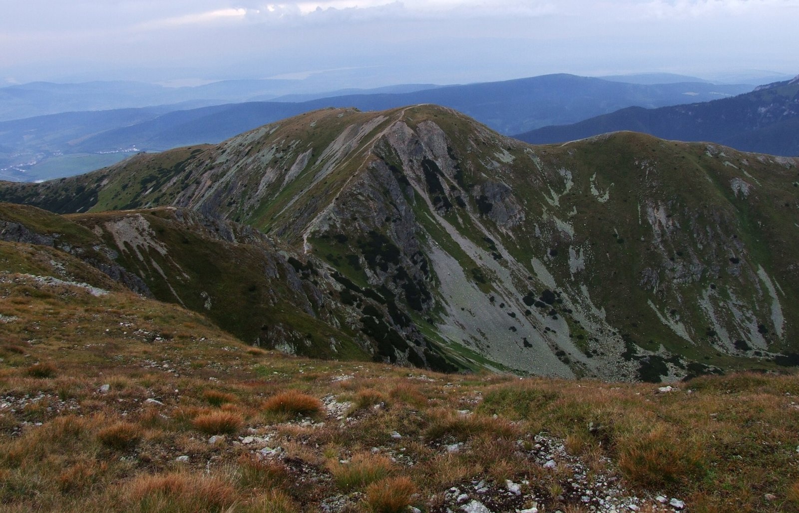
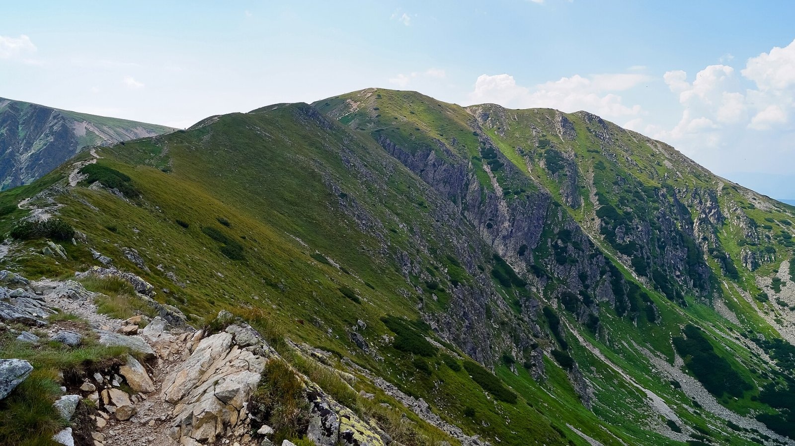
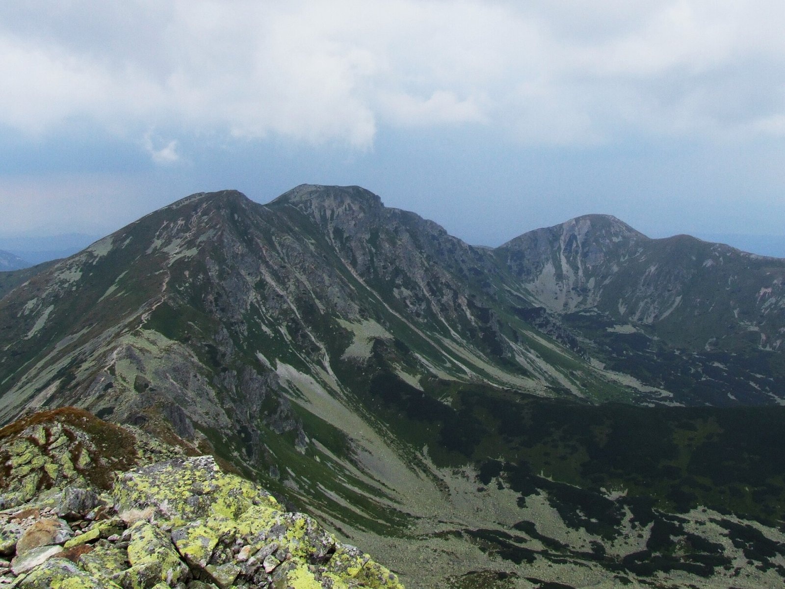
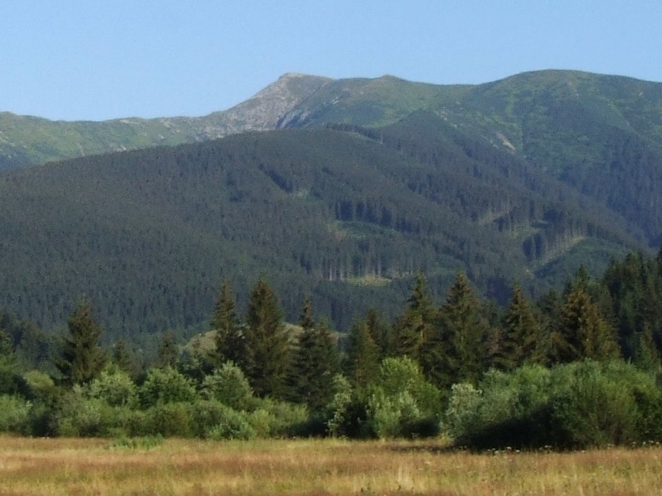
Brestová (in some sources Malá Brestová; Polish Brestowa) is a 1903 m summit on the main ridge of the Western Tatras, in the Roháče part, in Slovakia. It lies at the head of the Bobrovecká dolina, south-east of Zuberec and about 19 km north of Liptovský Mikuláš. The mountain stands on the boundary of Liptovský Mikuláš and Tvrdošín districts, and the ridge here is the natural border between Orava and Liptov. The nearest villages are Zuberec (about 6 km), Huty (8 km) and Habovka (8 km).
The name is confusing. Slovak and German references give the name Brestová to this 1903 m summit; some sources, however, call it Malá Brestová and reserve Brestová for the higher, still unnamed 1934 m point a little to the south-east. Polish authors describe Brestowa as the 1934 m top – the main orographic knot of the Salatín group – and mention Mała Brestowa next to it. Both tops belong to one mighty massif between the Pálenica saddle in the west and the Parichvost saddle in the south-east; beyond Parichvost rises Salatín (2048 m), to the west Zuberec peak (1806 m). A three-kilometre side ridge, Predný Salatín, runs north from the massif, dividing the Salatínska dolina from the Salatín gully. The south-western slopes fall into the Kotliny cirque at the head of the Bobrovecká dolina (Váh basin), the northern ones to Dlhá jama and the Voliarisko valley (Orava basin).
How to get there / routes
- Red ridge trail: from the west from Huty via Sivý vrch and the Pálenica saddle; from the east from Volovec via Baníkov and Salatín. From the Baníkovské sedlo to the Brestová massif about 2 h 30 min.
- Yellow trail to the Pálenica saddle: from the south from Jalovec via the junction below Lysec, from the north from Zuberec via Ostrý grúň. From Pálenica to the summit about 1 h (45 min down).
- Blue trail from Zverovka via Predný Salatín to the higher top of the massif (1933–1934 m): about 3 h up, 2 h 15 min down.
What you can see from the top
The rocky top gives an all-round panorama: the surrounding Western Tatra peaks, the nearby valleys and part of the High Tatras. Osobitá, Sivý vrch and the whole Roháčska dolina with its peaks are particularly well seen. In good weather you also see the Skorušinské vrchy, the Orava Beskids, Oravská Magura, the Lesser Fatra, the Choč Mountains, the Greater Fatra and the mountains of southern Poland.
Nature and history
The massif is built of granite and gneiss. The summit and slopes are grassy, lower down – especially on the north – rocky. They used to be pastures; the rush growing on the slopes turns brown already at the end of summer, colouring them reddish. The name is linked to elms (Slovak brest) that once grew in the area; a pasture east of Zuberec bears the same name. In 1861 the Polish explorer Kazimierz Łapczyński traversed the summit. During the Second World War a partisan hospital operated in a forest hut on the slopes of Predný Salatín; in February 1945 TOPR rescuers carried wounded Slovak and Soviet partisans through a blizzard over the Łuczniańska Przełęcz pass to Zakopane.
Safety, season and rules
Brestová lies in the Tatra National Park (TANAP). The park's high-mountain trails are closed every year from 1 November to 31 May. The ridge is exposed to wind and storms. Stay on marked trails. Slovak Mountain Rescue Service (HZS): 18 300 (+421 18 300) or 112.
Interesting facts
- The highest point of the Brestová massif (1934 m) still has no name of its own.
- The massif has good ski slopes: a ski lift runs at its foot in the Salatínska dolina.
Photos: Jerzy Opioła, CC BY-SA 3.0; Sebastian B, CC BY 3.0; Jerzy Opioła, CC BY-SA 3.0; Jerzy Opioła, CC BY-SA 4.0 — Wikimedia Commons.
Getting there from Ukraine
Border crossings
- Uzhhorod – Vyšné Nemecké — road, 24/7
- Malyi Bereznyi – Ubľa — road, 24/7 For cars and buses; pedestrians not confirmed by the Ukrainian border service, lorries up to 3.5 t.
- Mali Selmentsi – Veľké Slemence (pedestrian) — pedestrian, 09:00–21:00 Kyiv time Pedestrians and cyclists only; inconvenient for the Tatras without onward transport.
- Chop – Čierna nad Tisou (rail) — rail, 24/7
By car
From Uzhhorod ≈275 km, ≈3 h 35 min without queues: Uzhhorod – Vyšné Nemecké → I/19 to Košice → D1 motorway via Prešov, Poprad and Liptovský Mikuláš to Ružomberok (≈270 km, ≈3 h 25 min from the border). From Lviv it is faster through Poland: M-10 → Krakovets – Korczowa → A4 to Kraków → S7/DK7 to the Chyżne – Trstená border → R3 and I/59 via Dolný Kubín to Ružomberok: ≈482 km, ≈6 h 15 min (via Uzhok and Ubľa ≈500 km, ≈7 h 30 min). The D1 requires an e-vignette (eznamka.sk).
Checked 23.10.2026; border crossing hours and timetables change — check before you travel.
Location on the map
Water and shelter nearby
- Brezovičkový jarok Spring1.1 km · Not verified · 1 883 m
- Válovec Spring1.2 km · Not verified · 1 805 m
- Spring below Salatín (west slope)1.3 km · Not verified · 1 772 m
- Spring below Veľký Klin1.4 km · Not verified · 1 436 m
- Kákyčová Spring1.5 km · Not verified · 1 693 m
- Spring below Kozinec (south-east slope)1.7 km · Not verified · 1 516 m
- Spring below Lysec (north slope), 1 555 m1.8 km · Not verified · 1 555 m
- Spring below Predný Salatín (north-west slope)1.8 km · Not verified · 1 316 m
- Spring below Lysec (north slope), 1 530 m1.8 km · Not verified · 1 530 m
- Podválovec Spring1.8 km · Not verified · 1 543 m
- Spring below Malý Salatín (south-west slope), 1 752 m1.9 km · Not verified · 1 752 m
- Spring below Sivý vrch (east slope)1.9 km · Not verified · 1 562 m
- Spring below Lysec (north-west slope), 1 669 m2.1 km · Not verified · 1 669 m
- Spring below Malý Salatín (south slope), 1 617 m2.2 km · Not verified · 1 617 m
- Hlboký potok Captured Spring, 1 668 m2.2 km · Not verified · 1 668 m
- Spring below Lysec (north-west slope), 1 549 m2.2 km · Not verified · 1 549 m
Comments
Trails nearby
All trails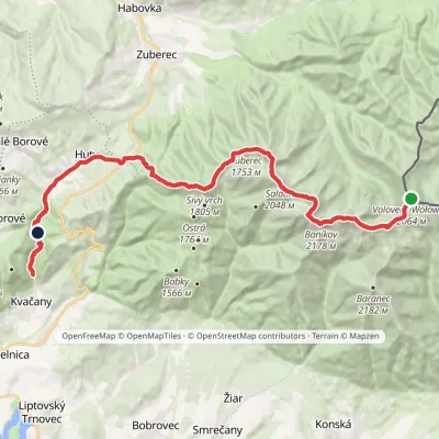 HardMulti-dayMarkedÚstie Kvačianskej doliny Pyšné sedlovia VolovecElevation profile644–2 178 m27.6 kmascent 1 566 m≈ 10 h walkingunder 1 km from Brestová
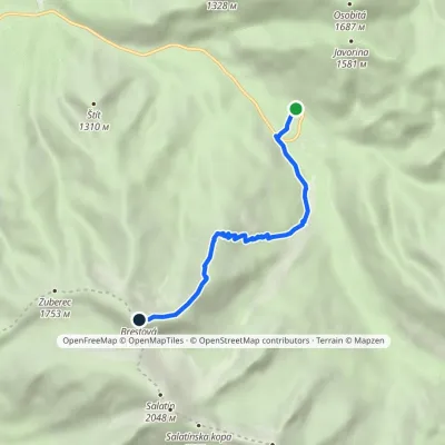 ModerateOne-dayMarkedZverovka Hut BrestováElevation profile1 016–1 930 m5.5 kmascent 914 m≈ 3 h walkingunder 1 km from Brestová
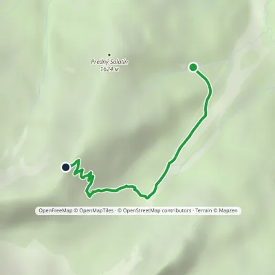 ModerateOne-dayMarkedPredný Salatín BrestováElevation profile1 283–1 815 m2.8 kmascent 532 m≈ 2 h walkingunder 1 km from Brestová
Nearby attractions
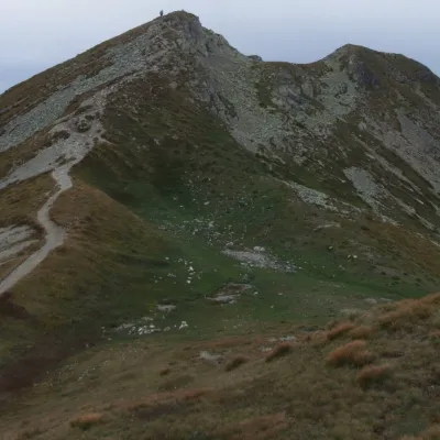 Mountain meadowThe grassy hole of Salatín and Brestová in the Western TatrasZuberecaltitude 2 048 m1.3 km from BrestováSalatín (2,048 m) is a massive grassy mountain on the main ridge of the Western Tatras (Západné Tatry) in Slovakia, above the Bobrovecká and Jalovecká valleys on the...
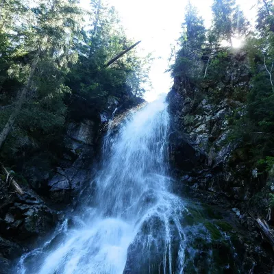 WaterfallRoháčsky WaterfallZuberec3.7 km from BrestováRoháčsky waterfall (Roháčsky vodopád) is the best-known waterfall of the Western Tatras, in the Roháče massif about 12 km east of the village of Zuberec in Orava.
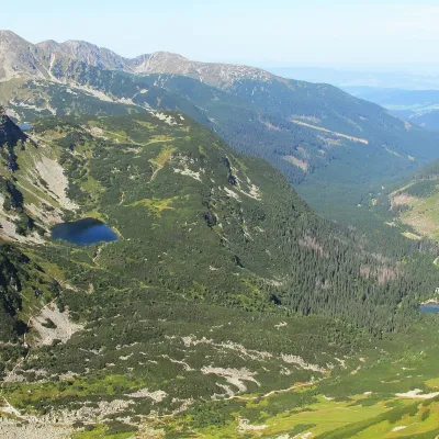 LakeRoháčske plesá5.1 km from BrestováRoháčske plesá are a cascade of four glacial lakes at the head of Roháčska dolina in the Western Tatras, in the Orava region.
Craft nearby
All craft places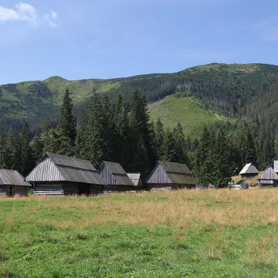 Cheese dairies & pasturesShepherds' Huts on Polana ChochołowskaKościelisko8.2 km from BrestováPolana Chochołowska is the largest glade in the Polish Tatras and one of the largest in the whole range.
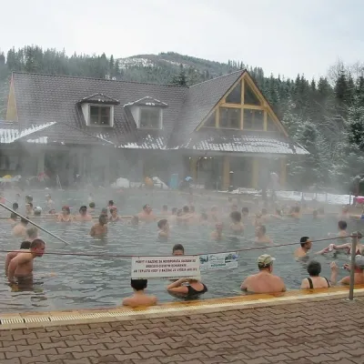 Water parks & thermal poolsOravice thermal poolsVitanová9.6 km from BrestováThe Oravice thermal pools (Termálne kúpalisko Oravice) are the municipal thermal baths in the mountain settlement of Oravice at the foot of the Western Tatras.
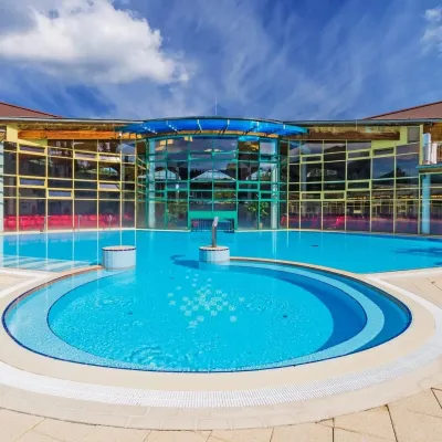 Water parks & thermal poolsMeander Thermal Resort, OraviceVitanová9.7 km from BrestováMeander Thermal & Ski Resort (formerly Meander Park) is a thermal water park and ski centre in the mountain settlement of Oravice in northern Slovakia, at the foot of...
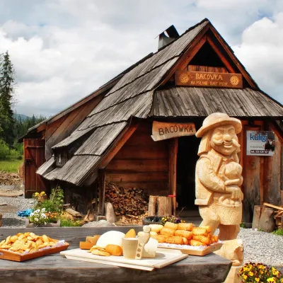 Cheese dairies & pasturesBiały Potok Shepherd's Hut, Witów: oscypek and cheese workshopsKościelisko14 km from BrestováBiały Potok meadow in the village of Witów lies between the entrances to two of the most visited Tatra valleys, Chochołowska and Kościeliska.
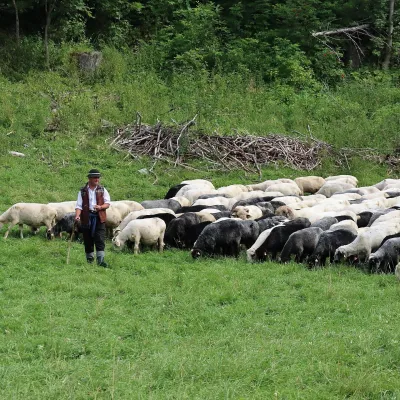 Cheese dairies & pasturesShepherd's Hut in the Kościeliska ValleyKościelisko15 km from BrestováJózef Słodyczka's bacówka (shepherd's hut) on the Wyżnia Kira Miętusia glade is probably the most easily reached shepherds' hut in the Polish Tatras.
 Water parks & thermal poolsAquapark TatralandiaLiptovský Mikuláš15 km from BrestováAquapark Tatralandia is a large year-round water leisure complex near Liptovský Mikuláš, on the northern shore of the Liptovská Mara reservoir.
