222-y km


What to see nearby
The best within 10 km, as the crow flies
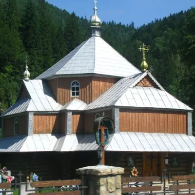 Church of St. Demetrius of ThessalonikiChurch · 700 m
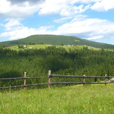 Mount MaguraPeak · 3.0 km
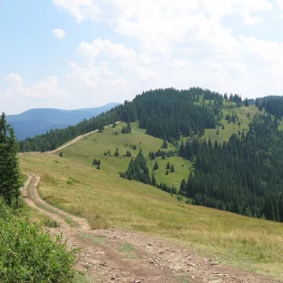 Mount LisnivPeak · 3.0 km
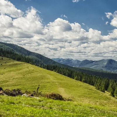 Polonyna KhomyakovMountain meadow · 7.1 km
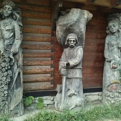 Museum of customary symbols of the Hutsul regionMuseum · 7.7 km
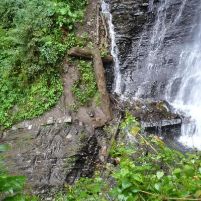 Zhenetsky Hook waterfallWaterfall · 7.8 km
Trails starting within 5 km: 33
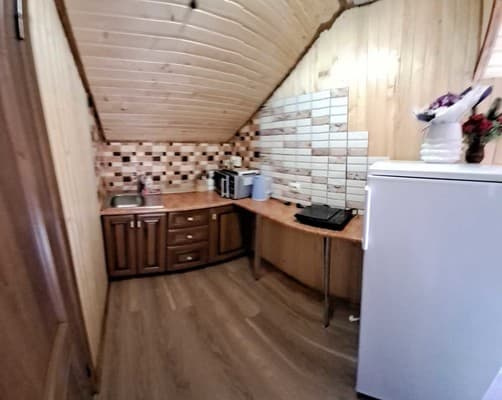
The private homestead "222-y km" is located in the central part of the village of Tatariv. Guests have access to 3 rooms on the second floor: 2 double rooms and 1 triple room with a double bed, bed linen, towels, a wardrobe, a flat-screen TV, and a shared bathroom for 3 rooms. The owners live on the first floor. The kitchen is equipped with a refrigerator, microwave, gas stove, electric kettle, and kitchen utensils. The territory of the homestead features a children's playground, parking, and free Wi-Fi access.
The distance from the private homestead "222-y km" to the railway station is 200 m, to the bus station in Yaremche is 20.5 km, to the Bukovel ski resort is 14.3 km, to the village of Vorokhta is 8.9 km, to the village of Yablunytsia is 11.5 km, and to Ivano-Frankivsk city is 80 km.
Cost and availability of extra beds should be clarified when booking.
At a distance of 200 m is the Tatariv-Bukovel railway station, which is a 5-minute walk to the hotel. Nearby, there are two highways H-09 "Mukachevo - Lviv" and R-24 "Tatariv - Kamianets-Podilskyi".
The homestead has a kitchen equipped with everything necessary for self-cooking.
Location on the map
Reviews
Nearby attractions
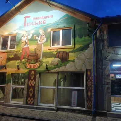 Craft beer & breweriesHirske Brewery, MykulychynMykulychyn4.6 km from 222-y kmThe Hirske brewery is a small artisan brewery in Mykulychyn, on the edge of the village towards Tatariv.
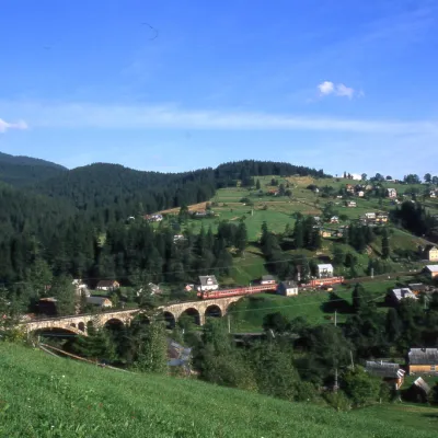 MuseumMuseum of History and Local Lore, VorokhtaVorokhta5.6 km from 222-y kmThe museum was inaugurated on January 21, 2007. The museum reveals the processes of the settlement's emergence, the Oprishka movement in the Vorokhta neighborhood, and...
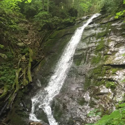 WaterfallNarinetskyi waterfall, MykulychynMykulychyn6.2 km from 222-y kmNarinetskyi Waterfall is a waterfall in the Ukrainian Carpathians, on the Noretskyi Stream (a left tributary of the Zhenets River).
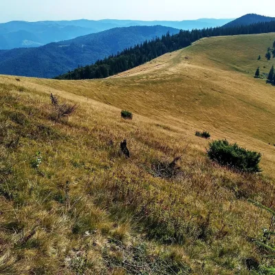 Mountain meadowPolonyna Yavirnyk (Yaremche)Yaremchealtitude 1 200 m · Gorgany range7.8 km from 222-y kmPolonyna Yavirnyk is a large pasture on the south-eastern slopes of the Yavirnyk ridge in the Gorgany, right above Yaremche.
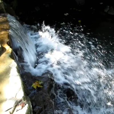 WaterfallBagrovetsky waterfallYaremche9.5 km from 222-y kmBagrovetsky Waterfall is one of the most famous waterfalls in the Yaremche region, located in the city of Yaremche.
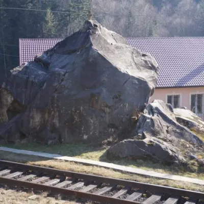 Historic siteDovbush's stone, YaremcheYaremche10 km from 222-y kmOleksa Dovbush has been famous for centuries. Songs and legends were composed about him.
Craft nearby
All craft places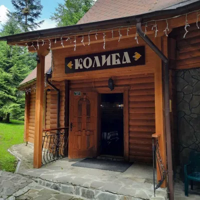 Koliby & Hutsul cuisineKoliba “Dykyi Med”, TatarivTatariv4.1 km from 222-y kmThe Dykyi Med (“Wild Honey”) kolyba is the heart of a private estate of the same name in the Zhenets area of Tatariv, in a valley the locals call the Honey Valley.
 Markets & fairsSouvenir Bazaar by the Ski Jumps, VorokhtaVorokhta4.6 km from 222-y kmThe souvenir bazaar in Vorokhta is one of the busiest little trading spots in the mountain Hutsul region.
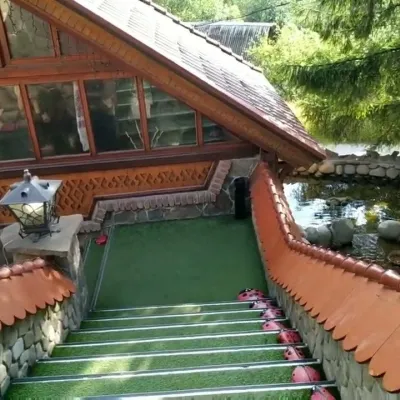 Koliby & Hutsul cuisineStara Vorokhta Restaurant, VorokhtaVorokhta5.8 km from 222-y kmStara Vorokhta restaurant ("Old Vorokhta") is one of the best-known places for Hutsul food in Vorokhta: on Google Maps it is rated 4.6 from more than 6,300 reviews, a...
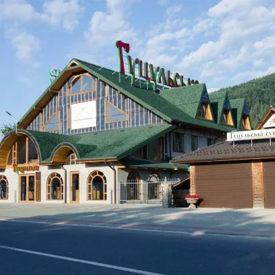 Craft beer & breweriesHutsulske Brewery, MykulychynMykulychyn6.8 km from 222-y kmThe Hutsulske brewery in Mykulychyn is one of the oldest private breweries in the Carpathians, brewing beer for more than twenty years right on the road between...
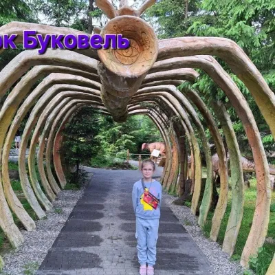 Theme parksDinoPark, Polianytsia (Bukovel)Yablunytsia6.9 km from 222-y kmDinoPark in Polianytsia is an open-air dinosaur theme park at the entrance to Bukovel resort. It is easy to spot from the road: a huge dinosaur figure stands right by...
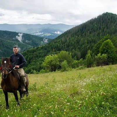 Horse ridingHorse Riding, MykulychynMykulychyn8 km from 222-y kmHorse riding in Mykulychyn is a riding service in one of the most popular villages near Yaremche. The owners keep hardy mountain horses and take guests along forest...
Peaks nearby
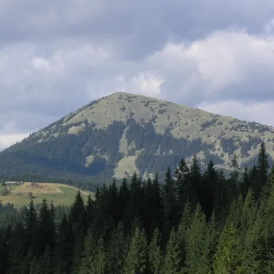 PeakMount KhomiakTatarivaltitude 1 542 m · Chornohora range6.4 km from 222-y km40 trails to the topKhomiak (1542 m) is a cone-shaped peak of the Gorgany range above Tatariv and Polianytsia; a statue of the Virgin Mary stands on its rocky top.
 PeakMount OseredokVorokhtaaltitude 915 m · Chornohora range7.9 km from 222-y km1 trail to the topOseredok is a modest 915 m summit right above Vorokhta (about 2 km), north of the Chornohora range, in Ivano-Frankivsk Oblast.
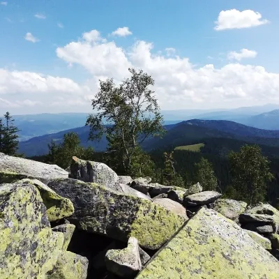 PeakMount Yavirnyk-GorganYaremchealtitude 1 467 m · Gorgany range9.2 km from 222-y kmYavirnyk-Gorgan is the highest summit of the Yavirnyk ridge in the south-eastern Gorgany, 1,467 m high.
Trails nearby
All trails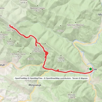 HardMulti-dayTatariv village loopvia Mount Khomiak, Mount SyniakElevation profile678–1 665 m37.2 kmascent 1 309 m≈ 12 h walkingunder 1 km from 222-y km
 ModerateTwo-dayMarkedTatariv village loopvia Mount Lisniv, Mount YahidnaElevation profile678–1 234 m15.6 kmascent 645 m≈ 5 h walkingunder 1 km from 222-y km
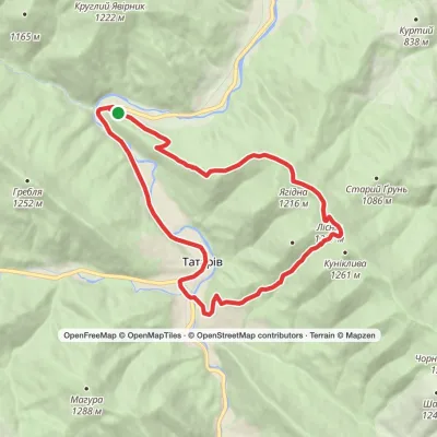 ModerateTwo-dayZhenets tract to Zhenets tract (Mykulychyn village)via Mount Yahidna, Mount Lisniv +1Elevation profile642–1 257 m17.2 kmascent 650 m≈ 5.5 h walkingunder 1 km from 222-y km
