Vajskovský vodopád (Vajskovský Waterfall)
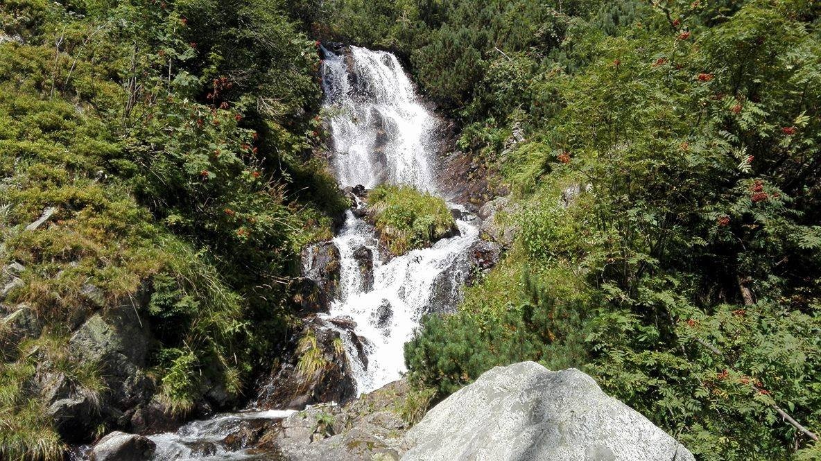
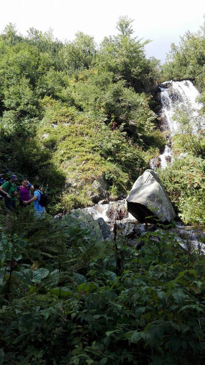
Vajskovský vodopád is a cascading waterfall in the upper part of the Vajskovská dolina on the southern side of the Low Tatras, within the Low Tatras National Park (NAPANT) and the Skalka national nature reserve. The valley, about 9 km long, runs from north to south from the main ridge of the Ďumbierske Tatry: it begins below Krížske sedlo (1,774.8 m) between the peaks of Kotliská (1,937 m) and Poľana (1,890 m) and opens into the Hron valley near the Črmné forester's lodge, north of the village of Dolná Lehota, to whose cadastral area it belongs.
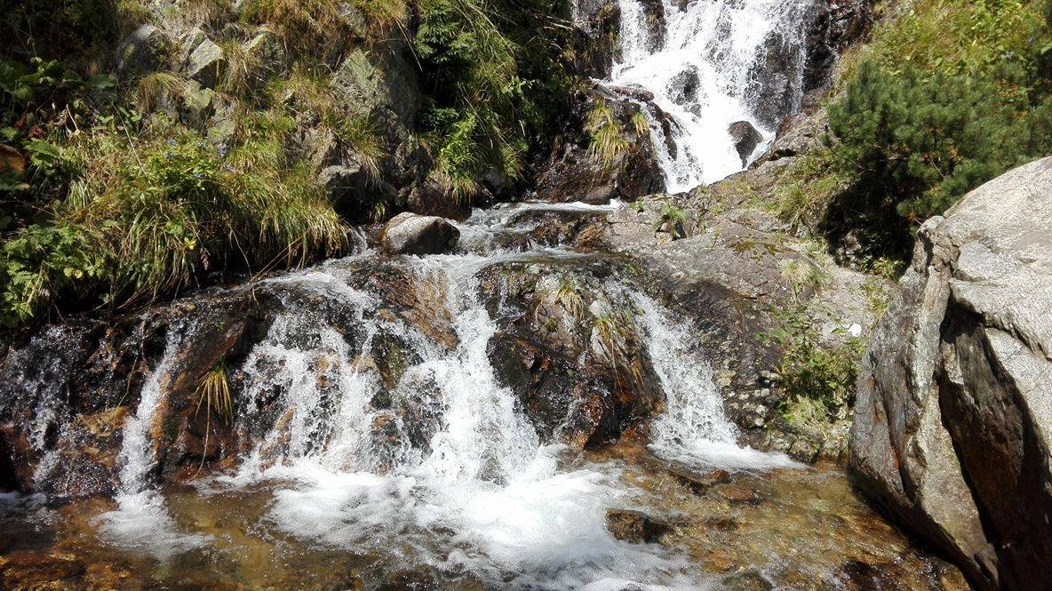
The waterfall is formed by the Vajskovský potok. According to the Polish Wikipedia it is a system of successive cascades with a total height of about 9 m: the water tumbles over a jumble of huge boulders – remnants of post-glacial deposits from the younger Pleistocene that fill the valley floor. The fall lies at about 1,300 m, near the upper tree line, and is thickly overgrown with shrubs and tall herbs. It is not a sheer wall of water but a picturesque chain of steps among rocks – it looks best during snowmelt and after rain.
The Vajskovská dolina is considered one of the most beautiful valleys of the Low Tatras. It has been declared a quiet zone; lighting fires, camping and picking forest fruits are banned here, all for the sake of nature protection. This valley is where the first chamois in the Low Tatras, brought from the High Tatras, were released into the wild.
What to see and do
- The cascades of the waterfall with several steps – up close you can see the stream rolling over enormous boulders.
- A long walk through a quiet valley along the stream: spruce forests, glades and, higher up, views of the Ďumbierske Tatry ridge.
- Bike + hike. Cycle route no. 8599 runs up the valley and ends at the Pálenica junction; from there you continue to the fall on foot only.
How to get there
A green hiking trail leads to the fall from Dolná Lehota: Dolná lehota – Vajskovský vodopád, about 13.5 km, roughly 4 h 20 min uphill according to the Polish Wikipedia. The Slovak Hiking Club (KST) signpost by the fall (1,260 m) gives the times downhill: to Pálenica 0:45, to Črmné 2:05, to Dolná Lehota 3:20. The trail ends at the waterfall: the former continuation to Krížske sedlo is closed for nature protection (until the 1980s the markings led all the way to the ridge). So it is a long but technically easy forest walk, returning the same way; for families with children it is better to cycle to Pálenica and walk the last section. Driving on the national park's forest roads is prohibited.
Season and safety
The best time is from late spring to autumn. Under NAPANT rules (park administration website, as of October 2026) you may walk the trails in the park only between one hour after sunrise and one hour before sunset; dogs must be on a lead and muzzled; leaving marked trails is prohibited. This green trail is not among the NAPANT sections closed seasonally (1 October – 30 June). In winter the valley is snowbound and it is a long way from Dolná Lehota: plan for daylight. Mountain Rescue Service HZS: 18 300; general emergency number: 112. Entry to the national park is free.
Nearby
From Črmné starts the route Črmné – Kotliská (partly closed seasonally). On the other side of the ridge, in the Demänovská valley, are the Demänovská Cave of Liberty and the Demänovská Ice Cave.
Official website: napant.sk
Photos: Pe3kZA, CC BY-SA 4.0, Wikimedia Commons.
Getting there from Ukraine
Border crossings
- Uzhhorod – Vyšné Nemecké — road, 24/7
- Malyi Bereznyi – Ubľa — road, 24/7 For cars and buses; pedestrians not confirmed by the Ukrainian border service, lorries up to 3.5 t.
- Mali Selmentsi – Veľké Slemence (pedestrian) — pedestrian, 09:00–21:00 Kyiv time Pedestrians and cyclists only; inconvenient for the Tatras without onward transport.
- Chop – Čierna nad Tisou (rail) — rail, 24/7
By car
From Uzhhorod to Brezno ≈274 km, ≈3 h 50 min without queues: Uzhhorod – Vyšné Nemecké → I/19 to Košice → D1 via Prešov and Poprad to the exit near Liptovský Hrádok → I/18 and I/72 over the Čertovica Pass to Brezno. To Banská Bystrica ≈322 km, ≈4 h 30 min: D1 to Ružomberok, then I/59 via Donovaly. From Lviv: to Brezno via Uzhok and Ubľa ≈498 km (≈7 h 45 min) or through Poland ≈554 km (≈7 h 05 min); to Banská Bystrica through Poland (Kraków – Chyżne – Trstená – Dolný Kubín – Ružomberok) ≈535 km, ≈7 h 15 min. The D1 requires an e-vignette (eznamka.sk).
Checked 23.10.2026; border crossing hours and timetables change — check before you travel.
Location on the map
Comments
Trails nearby
All trails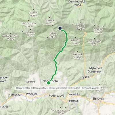 ModerateOne-dayMarkedDolná lehota Vajskovský vodopádElevation profile502–1 298 m13.5 kmascent 796 m≈ 5 h walkingunder 1 km from Vajskovský vodopád (Vajskovský Waterfall)
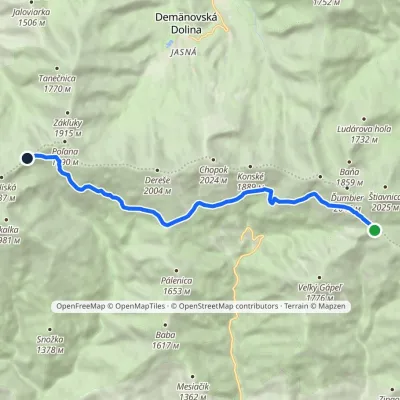 ModerateOne-dayMarkedKrížske Saddle Hut of Gen. M. R. ŠtefánikElevation profile1 455–1 778 m11.3 kmascent 371 m≈ 3.5 h walkingunder 1 km from Vajskovský vodopád (Vajskovský Waterfall)
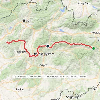 HardMulti-dayMarkedHorná Poruba, U Brdárov Pred ČuntavouElevation profile309–2 004 m241.6 kmascent 15 694 m1 km from Vajskovský vodopád (Vajskovský Waterfall)
Nearby attractions
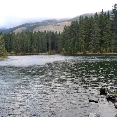 LakeVrbické pleso in the Demänovská valley4.9 km from Vajskovský vodopád (Vajskovský Waterfall)Vrbické pleso is the largest natural lake in the Low Tatras. It lies at 1,113 m in the upper western part of the Demänovská dolina, on the right-hand slope of the side...
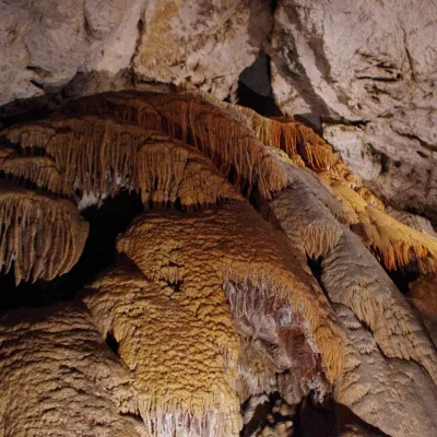 NatureDemänovská Cave of Liberty7.9 km from Vajskovský vodopád (Vajskovský Waterfall)The Demänovská Cave of Liberty (Demänovská jaskyňa slobody) lies on the right side of the Demänová valley on the northern slopes of the Low Tatras, 13 km south of...
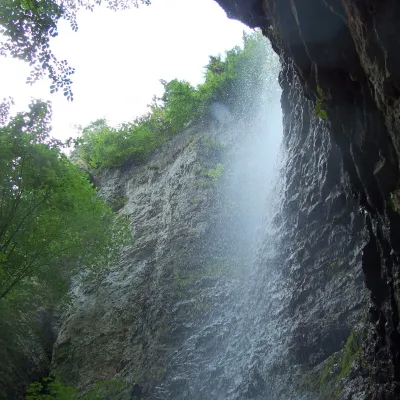 WaterfallBrankovský waterfall — the highest in the Low Tatras18 km from Vajskovský vodopád (Vajskovský Waterfall)The Brankovský waterfall (Brankovský vodopád) is the highest waterfall in the Low Tatras: the water drops 55 m.
Craft nearby
All craft places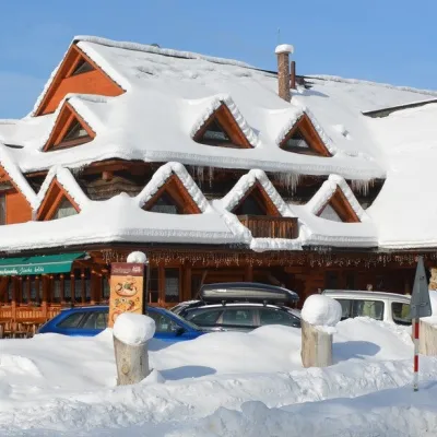 Koliby & Hutsul cuisineKoliba Strachanovka, Jánska valley15 km from Vajskovský vodopád (Vajskovský Waterfall)Koliba Strachanovka (Jánska koliba) is a large wooden koliba at the entrance to the Jánska valley in the village of Liptovský Ján, which locals consider one of the...
 Water parks & thermal poolsTERMAL raj thermal bath, Liptovský Ján15 km from Vajskovský vodopád (Vajskovský Waterfall)Liptovský Ján: thermal water at the entrance to Jánska dolina Liptovský Ján is an old village in southern Liptov, about 10 km from Liptovský Mikuláš, at the entrance...
 Koliby & Hutsul cuisineSalaš Dechtáre above Liptovská Mara18 km from Vajskovský vodopád (Vajskovský Waterfall)Salaš Dechtáre is a wooden koliba above the Liptovská Mara reservoir that is described as one of Slovakia’s first commercial salaš restaurants.
 Water parks & thermal poolsAquapark Tatralandia19 km from Vajskovský vodopád (Vajskovský Waterfall)Aquapark Tatralandia is a large year-round water leisure complex near Liptovský Mikuláš, on the northern shore of the Liptovská Mara reservoir.
 Water parks & thermal poolsBešeňová Water Park20 km from Vajskovský vodopád (Vajskovský Waterfall)Bešeňová — the "thermal heart of Liptov" Bešeňová Water Park (Vodný park Bešeňová) lies on the edge of the village of the same name in the western part of the Liptov...
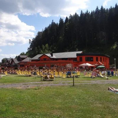 Water parks & thermal poolsLúčky Spa and AQUA-VITAL Park25 km from Vajskovský vodopád (Vajskovský Waterfall)Lúčky Spa (Kúpele Lúčky) lies in a quiet valley beneath the Choč Mountains, in the village of Lúčky near Ružomberok.
