Črmné – Kotliská
Trail map
Route, springs and shelters: © OpenStreetMap contributors (ODbL) · elevation: Copernicus DEM © DLR e.V., © Airbus DS · Data & licences
About the trail
Route Črmné – Kotliská. Has yellow marking (regional route №8447, KST). Waymarking data: OpenStreetMap (© OpenStreetMap contributors, ODbL).
Officially marked regional tourist route No. 8447. The marking is yellow, the sign is a horizontal stripe on a white background. Marked and maintained by: KST. Length of the route — 11.3 km. Location: mountain range — Low Tatras, Slovakia.
At a glance
A one-day route of 11.3 km with 175 m of ascent and 1,471 m of descent from Kotliská to Črmné. Estimated walking time: about 3 h, not counting stops. Difficulty: moderate. Waymarking: yellow.
Route stages
- 0–3 kmAlong the ridge at 1,790–1,960 m, past Kotliská, Skalka, Žiarska hoľa
- 3–10 kmDescent of 1,130 m (down to 684 m)
- 10–11 kmGentle ups and downs at 640–690 m
Steepest kilometre: km 4–5, a descent of 210 m (≈21%), near Sedlo pod Žiarom.
Water and overnight stays
Springs near the trail: at km 0 and 7.
When to go
Best time: June to September. In winter only for experienced hikers with proper gear: avalanche danger is possible. About 5 km of the route runs above 1,500 m, where the weather changes quickly — check the forecast.
Getting there
Start: Kotliská. This is a one-way route: the finish is 8 km from the start in a straight line, so plan your way back in advance.
FAQ
- How long does the route take?
- Estimated walking time: about 3 h, not counting stops.
- Is there water on the route?
- Springs near the trail: at km 0 and 7.
Water and shelter on the route
- Spring below Kotliskákm 0.4 from the start · 260 m off the path · Not verified · 1 722 m
- Spring below Žiar (south slope), 1 144 mkm 7.3 from the start · 260 m off the path · Not verified · 1 144 m
Comments
Trails nearby
All trails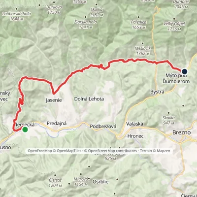 HardMulti-dayMarkedNemecká Mýto pod ĎumbieromElevation profile418–1 017 m31.7 kmascent 1 345 m≈ 10.5 h walking
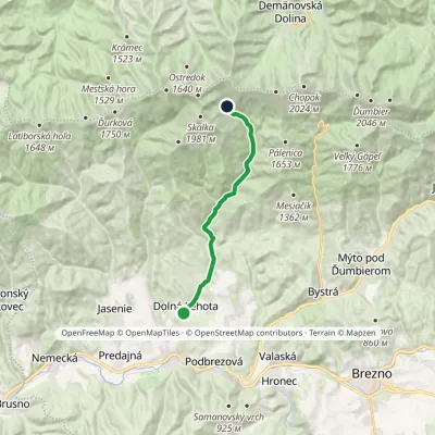 ModerateOne-dayMarkedDolná lehota Vajskovský vodopádElevation profile502–1 298 m13.5 kmascent 796 m≈ 5 h walking
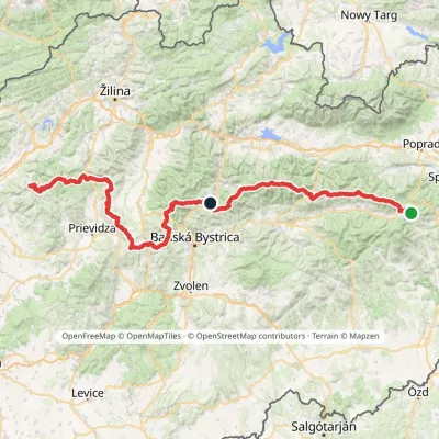 HardMulti-dayMarkedHorná Poruba, U Brdárov Pred ČuntavouElevation profile309–2 004 m241.6 kmascent 15 694 m
Craft nearby
All craft places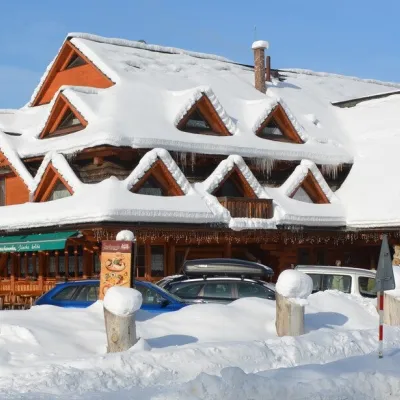 Koliby & Hutsul cuisineKoliba Strachanovka, Jánska valleyLiptovský Ján16 km from the trailKoliba Strachanovka (Jánska koliba) is a large wooden koliba at the entrance to the Jánska valley in the village of Liptovský Ján, which locals consider one of the...
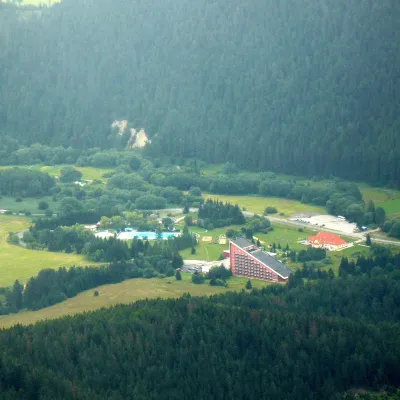 Water parks & thermal poolsTERMAL raj thermal bath, Liptovský JánLiptovský Ján16 km from the trailLiptovský Ján: thermal water at the entrance to Jánska dolina Liptovský Ján is an old village in southern Liptov, about 10 km from Liptovský Mikuláš, at the entrance...
 Koliby & Hutsul cuisineSalaš Dechtáre above Liptovská MaraGalovany17 km from the trailSalaš Dechtáre is a wooden koliba above the Liptovská Mara reservoir that is described as one of Slovakia’s first commercial salaš restaurants.
 Craft beer & breweriesLiptovar brewery, Liptovský Mikuláš: craft beer and brewpubLiptovský Mikuláš17 km from the trailLiptovský Mikuláš is the main town of the Liptov region, a short drive from the Low and Western Tatras, the Demänovská Valley and the Liptovská Mara reservoir.
 Water parks & thermal poolsBešeňová Water ParkBešeňová19 km from the trailBešeňová — the "thermal heart of Liptov" Bešeňová Water Park (Vodný park Bešeňová) lies on the edge of the village of the same name in the western part of the Liptov...
 Water parks & thermal poolsAquapark TatralandiaLiptovský Mikuláš19 km from the trailAquapark Tatralandia is a large year-round water leisure complex near Liptovský Mikuláš, on the northern shore of the Liptovská Mara reservoir.
