Melčice – Sedlo Kykula, state border
Trail map
Route, springs and shelters: © OpenStreetMap contributors (ODbL) · elevation: Copernicus DEM © DLR e.V., © Airbus DS · Data & licences
About the trail
Route Melčice – Sedlo Kykula, state border. Has blue marking (regional route №2421, sk:KST). Waymarking data: OpenStreetMap (© OpenStreetMap contributors, ODbL).
Officially marked regional tourist route No. 2421. The marking is blue, the sign is a horizontal stripe on a white background. Marked and maintained by: sk:KST. Length of the route — 16 km. Location: mountain range — Bile Karpaty, Slovakia.
At a glance
A one-day route of 16 km with 224 m of ascent and 750 m of descent from Melčice to Sedlo Kykula, state border. Estimated walking time: about 4.5 h, not counting stops. Difficulty: moderate. Waymarking: blue.
Route stages
- 0–3 kmGentle ups and downs at 700–810 m, past Tlstý vrch, Dúžnik
- 3–8 kmDescent of 390 m (down to 412 m)
- 8–13 kmGentle ups and downs at 350–470 m
- 13–15 kmDescent of 160 m (down to 216 m)
- 15–16 kmGentle ups and downs at 190–220 m
Steepest kilometre: km 6–7, a descent of 120 m (≈12%).
Water and overnight stays
Springs near the trail: at km 0, 4, 6, 9, 11 and 15.
When to go
The route can be walked most of the year; it is most comfortable from April to October.
Getting there
Start: Melčice. This is a one-way route: the finish is 11 km from the start in a straight line, so plan your way back in advance.
FAQ
- How long does the route take?
- Estimated walking time: about 4.5 h, not counting stops.
- Is there water on the route?
- Springs near the trail: at km 0, 4, 6, 9, 11 and 15.
Water and shelter on the route
- Spring below Kykula (east slope), 696 mkm 0.1 from the start · 180 m off the path · Not verified · 696 m
- Spring below Dúžnik (south-east slope), 732 mkm 3.7 from the start · 240 m off the path · Not verified · 732 m
- Spring below Dúžnik (south slope), 698 mkm 4.2 from the start · 110 m off the path · Not verified · 698 m
- Spring below Dúžnik (south-east slope), 636 mkm 6.2 from the start · 210 m off the path · Not verified · 636 m
- Spring below Dolné Bradlo (south-west slope)km 9.4 from the start · Not verified · 452 m
- Spring below Dolné Bradlo (south slope)km 10 from the start · Not verified · 411 m
- Spring below Laginkm 11 from the start · Not verified · 402 m
- Well na dvore č.d. 20km 14.9 from the start · 280 m off the path · Not verified · 213 m
Comments
Trails nearby
All trails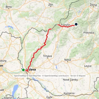 HardMulti-dayMarkedHrad Devín, parking Horná Poruba, U BrdárovElevation profile146–965 m190.1 kmascent 7 200 m
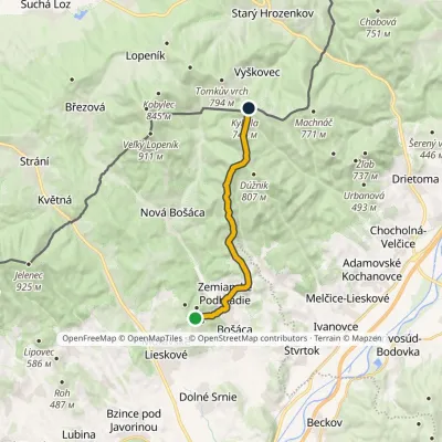 ModerateOne-dayMarkedRolincová Pod Kykulou, state borderElevation profile248–789 m13.3 kmascent 584 m≈ 4.5 h walking
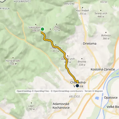 EasyOne-dayMarkedChocholná Pod Sokolím kameňomElevation profile224–641 m5.8 kmascent 29 m≈ 1.5 h walking
Craft nearby
All craft places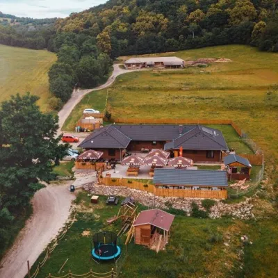 Cheese dairies & pasturesSalaš Beckov: 100% sheep’s cheese and bryndza dumplingsBeckov18 km from the trailA sheep salaš beside one of the Váh valley’s finest castles Beckov is a village in the Váh valley between Nové Mesto nad Váhom and Trenčín, overlooked by the ruins of...
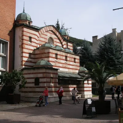 Water parks & thermal poolsTrenčianske Teplice: the Hammam and sulphur thermal bathsTrenčianske Teplice24 km from the trailTrenčianske Teplice is one of Slovakia's oldest spas, squeezed into a narrow wooded valley of the Strážov Mountains not far from Trenčín.
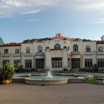 Water parks & thermal poolsPiešťany: the Spa Island, sulphur mud and thermal bathsPiešťany38 km from the trailPiešťany is Slovakia's best-known spa, spread out in the Váh valley between the Považský Inovec and the Little Carpathians.
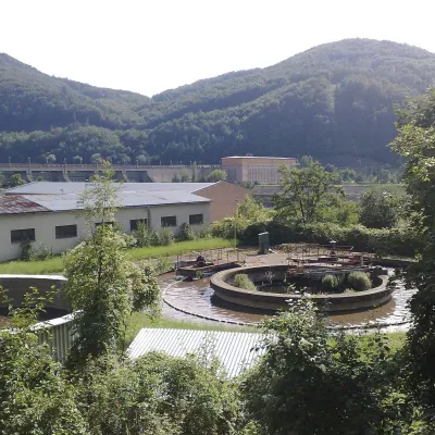 Water parks & thermal poolsNimnica: a mineral-water spa above the Nosice reservoirNimnica44 km from the trailNimnica is one of Slovakia's youngest spas, in the Váh valley between Púchov and Považská Bystrica. Its spa houses stand at about 300 m on a wooded spur of the...
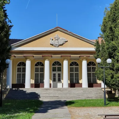 Water parks & thermal poolsSmrdáky: a hydrogen-sulphide spa for skin diseasesSmrdáky46 km from the trailSmrdáky is a small spa village in western Slovakia, on the edge of the Záhorie Lowland and the foothills of the White Carpathians, about 7 km from Senica and 80 km...
 Cheese dairies & pasturesSalaš Pružina: 100% sheep’s bryndza in the Strážov HillsPružina47 km from the trailPružina is a village in a picturesque valley of the Strážov Hills (Strážovské vrchy) west of Považská Bystrica.
