Téryho chata – Zbojnícka chata
Trail map
Route, springs and shelters: © OpenStreetMap contributors (ODbL) · elevation: Copernicus DEM © DLR e.V., © Airbus DS · Data & licences
About the trail
Route Téryho chata – Zbojnícka chata. Has yellow marking (regional route №8860, KST). Waymarking data: OpenStreetMap (© OpenStreetMap contributors, ODbL).
Officially marked regional tourist route No. 8860. The marking is yellow, the sign is a horizontal stripe on a white background. Marked and maintained by: KST. Length of the route — 4.9 km. Location: mountain range — High Tatras, Slovakia. The route in the Tatra National Park (TANAP): high-altitude sections are closed from November 1 to June 15 — before heading out, check the current dates at tanap.sk.
At a glance
A short route of 4.9 km with 247 m of ascent from Téryho chata to Zbojnícka chata. Estimated walking time: about 1.5 h, not counting stops. Difficulty: easy. Waymarking: yellow.
Route stages
- 0–5 kmAlong the ridge at 1,970–2,240 m, past Pfinnova kopa, Priečna veža
Steepest kilometre: km 2–3, a descent of 210 m (≈21%), near Priečne sedlo.
Water and overnight stays
Our map shows no springs near the trail — bring your own water (at least 1 l).
Huts and shelters near the trail: Téryho chata (km 0), Zbojnícka chata (km 5).
When to go
Best time: June to September. In winter only for experienced hikers with proper gear: avalanche danger is possible. About 5 km of the route runs above 1,500 m, where the weather changes quickly — check the forecast.
Getting there
Start: Téryho chata. This is a one-way route: the finish is 3 km from the start in a straight line, so plan your way back in advance.
FAQ
- How long does the route take?
- Estimated walking time: about 1.5 h, not counting stops.
- Is there water on the route?
- Our map shows no springs near the trail — bring your own water (at least 1 l).
- Where can I stay overnight?
- Huts and shelters near the trail: Téryho chata (km 0), Zbojnícka chata (km 5).
Water and shelter on the route
- Téryho chatakm 0 from the start
- Zbojnícka chatakm 4.9 from the start
Comments
Trails nearby
All trails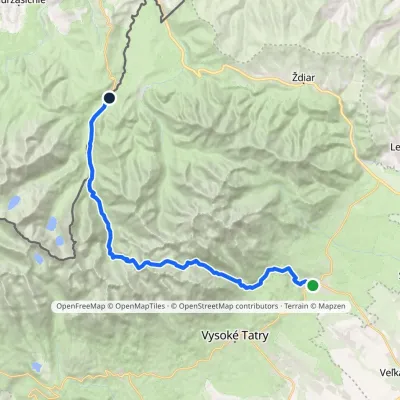 HardMulti-dayMarkedTatranská Lomnica Lysá PoľanaElevation profile853–2 268 m27.3 kmascent 1 415 m≈ 9.5 h walking
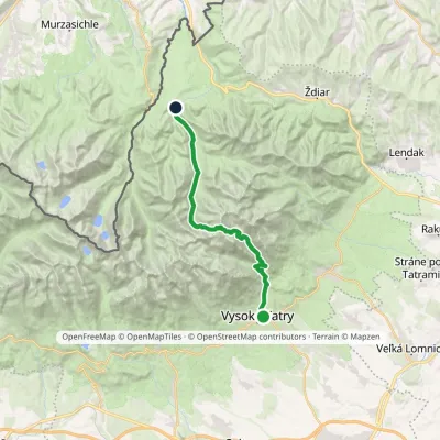 HardTwo-dayMarkedStary Smokowiec Tatrzańska JaworinaElevation profile996–2 342 m22.4 kmascent 1 382 m≈ 8.5 h walking
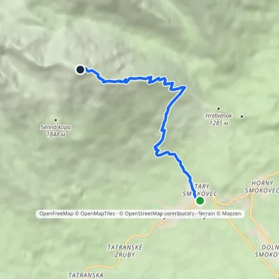 ModerateOne-dayMarkedStarý Smokovec Slavkovský PeakElevation profile996–2 452 m7.3 kmascent 1 457 m≈ 4.5 h walking
Craft nearby
All craft places Cheese dairies & pasturesShepherd's Hut on Rusinowa Polana11 km from the trailRusinowa Polana is one of the most beautiful mountain glades in the Polish Tatras, and from May to October it is home to the bacówka (shepherd's hut) of baca Stanisław...
 Water parks & thermal poolsAquaCity Poprad water park16 km from the trailAquaCity Poprad is a large year-round water park and wellness complex in the town of Poprad, a few minutes from the centre; according to the complex, the High Tatras...
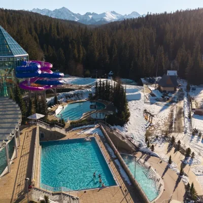 Water parks & thermal poolsTermy Bukovina17 km from the trailTermy Bukovina is a modern thermal pool complex in Bukowina Tatrzańska, a village lying about a thousand metres above sea level on the edge of the Tatra National Park.
 Craft beer & breweriesMinipivovar TATRAS, Poprad17 km from the trailMinipivovar TATRAS is a brewpub on Poprad’s main square, Námestie sv. Egídia, housed in a building with a long brewing history.
 Cheese dairies & pasturesFurtek's Shepherd's Huts, Kuźnice and Kalatówki18 km from the trailAbove Kuźnice — the southern edge of Zakopane where most hikes into the Western and High Tatras begin — the flocks are tended by baca Andrzej Staszel, nicknamed "Furtek".
 Koliby & Hutsul cuisineBąkowo Zohylina Wyźnio Highland Tavern20 km from the trailBąkowo Zohylina Wyźnio is a regional highland tavern in Zakopane housed in a wooden "szałas" (shepherd-hut-style building) with a view of the Tatras.
