Mount Mala Holytsia
Mala Holytsia (“Little Holytsia”) is a 1,184 m summit in the north-western part of the Polonynskyi Ridge in Zakarpattia Oblast. It stands about 3.5 km west of the higher Liutianska Holytsia (1,375 m). The nearest village is Lumshory (about 4.3 km), with Smerekovo and Likitsary (about 6.8–6.9 km) and Liuta (about 7.9 km) a little farther.
Mala Holytsia is surrounded by lower wooded summits: Shyrokyi Horb (661 m) about 2.5 km to the west, Mala Kulytsia (913 m) 3.1 km to the south-west, Bebynkova (876 m) 3.3 km to the north and Sokolets (953 m) 3.4 km to the north-west. OpenStreetMap marks the summit as a viewpoint, and its prominence over the neighbouring saddles is about 294 m.
How to get there
Our routes to Mala Holytsia start in Lumshory. The simplest is the loop Lumshory – Mount Mala Holytsia – Lumshory (15.9 km, about 1,160 m of ascent). A longer option is the crossing Lumshory – Mount Mala Holytsia – Mount Yavirnyk – Sil (35.5 km), which passes 10 m from the summit. The multi-day route Kostryna – Vyshka – Liuta – Mount Liutianska Holytsia – Polonyna Runa – Pastilky (79.8 km) also passes right by the top. If you want the higher neighbour, take Lumshory – Mount Liutianska Holytsia (8.8 km), which runs about 2.4 km from Mala Holytsia.
Water, shelter and safety
On our map the nearest spring is about 450 m south-east of the summit, at about 1,100 m (condition unknown). Lower down, about 1.2 km to the west, there is a spring with drinking water (about 690 m), and another 1.2 km to the north-east. The nearest picnic shelter is below Liutianska Holytsia, about 3 km to the south-east. Lumshory lies at about 479 m, so from the village you gain more than 700 m to the summit. The nearest summit with our forecast is far away — the weather on Mount Stii, about 43 km — so check a local forecast as well before setting out. In an emergency call 112 or 101 — mountain rescue works around the clock.
Interesting facts
- Lumshory is an old spa: its first treatment facility is mentioned as early as 1600, and the village is known for its mineral hydrogen-sulphide springs.
- Lumshory itself lies at about 479 m, not far from Polonyna Runa (Rivna), the massif that stretches south-east of Liutianska Holytsia.
Comments
Places to stay nearby
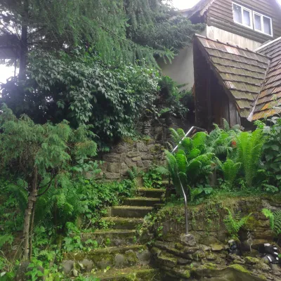 HomesteadHomestead "U Dyadi Vani" Vyshka11 km from Mount Mala HolytsiaPoolSaunaBBQ
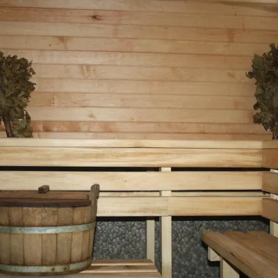 CottageHomestead "Lukacha" Zhdeniyevo17 km from Mount Mala HolytsiaSaunaFireplaceKitchenNearby: Ostra Gora 5.6 kmVojvodyn waterfall 7.9 km7 trails
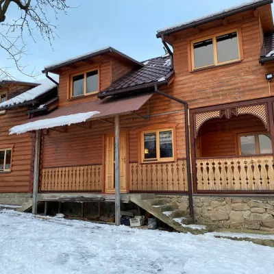 HomesteadVilla Uzh19 km from Mount Mala HolytsiaThe cottage "Villa Uzh" is located amidst picturesque mountains in the village of Uzhok, 5 km from the Volosyanka-Zakarpatska railway station.Nearby: Church of St. Michael 500 m3 trails
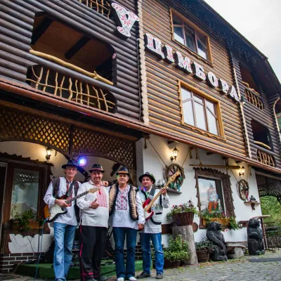 HotelHotel "U Tsimbora" Lumshory3.8 km from Mount Mala HolytsiaHot tubSaunaSPANearby: Lumshory waterfalls 800 mChurch of St. Basil the Great 3.3 km12 trails
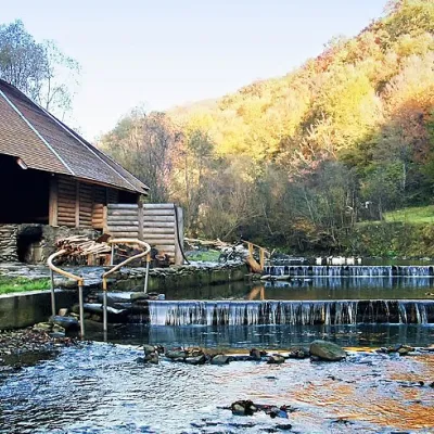 HotelComplex "Myslyvska Sadiba" Lumshory (5 Chans, Pool, Beach)4.3 km from Mount Mala HolytsiaHot tubPoolSaunaNearby: Lumshory waterfalls 2.0 kmChurch of St. Basil the Great 2.8 km12 trails
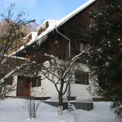 HotelRecreation Base "Lumshory"4.5 km from Mount Mala HolytsiaParkingWi‑FiKidsNearby: Lumshory waterfalls 2.1 kmChurch of St. Basil the Great 2.6 km13 trails
Trails nearby
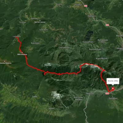 HardMulti-dayUnmarkedLumshory village to Sil villagevia Mount Mala Holytsia, Mount YavirnykElevation profile255–1 182 m35.5 kmascent 1 666 m≈ 12 h walkingunder 1 km from Mount Mala Holytsia
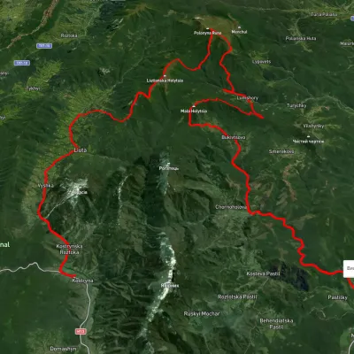 HardMulti-dayUnmarkedKostryno village to Pastilky villagevia Vyshka village, Liuta village +2Elevation profile167–1 472 m79.8 kmascent 3 090 munder 1 km from Mount Mala Holytsia
 ModerateTwo-dayUnmarkedLumshory village loopvia Mount Mala HolytsiaElevation profile440–1 161 m15.9 kmascent 1 159 m≈ 6.5 h walkingunder 1 km from Mount Mala Holytsia
Nearby attractions
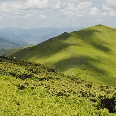 PeakMount Liutianska Holytsiaaltitude 1 375 m3.5 km from Mount Mala Holytsia8 trails to the topLiutianska Holytsia (also known as Lautanska Holytsia and Liutanska Holytsia) is a 1375-meter peak in the Ukrainian Carpathians, located in the northwestern part of...
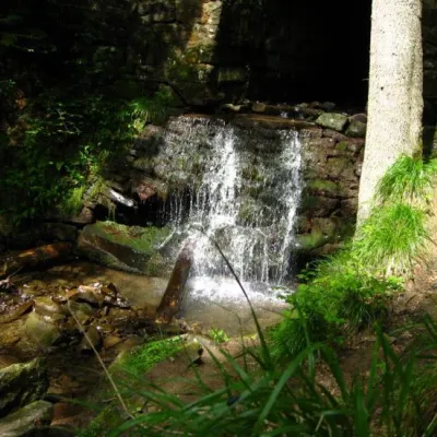 WaterfallLumshory waterfalls3.5 km from Mount Mala HolytsiaLumshory waterfalls are a group of waterfalls in the Ukrainian Carpathians, a hydrological natural monument of local importance (called "Waterfall on the Turytsia...
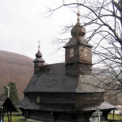 ChurchChurch of St. Basil the Great, Lykitsary7 km from Mount Mala HolytsiaBasil is a wooden church in the village of Likitsary, Zakarpattia region, an architectural monument of national importance (#193).