Likitsary
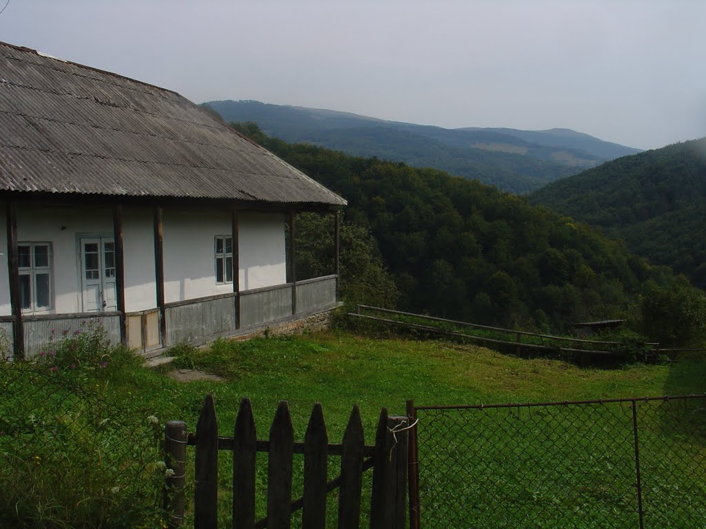
Likitsary is a settlement in the Carpathian region of Ukraine. Location: Uzhhorod district, Transcarpathian region. Worth seeing nearby: Church of St. Basil the Great, Lykitsary; Lumshory waterfalls — 4 km; Vojvodyn waterfall — 9 km. The nearest peaks: Mount Rivna (Polonyna Runa) — 1 480 m; Mount Mala Holytsia — 1 184 m; Mount Runa-Plai — 1 227 m. Hiking trails close by: Sianky village, via Mount Starostyna, Mount Pikui, Shcherbovets village, Mount Ostra Hora and Runa polonyna to Turychky village; Turychky village, via Runa polonyna to Lumshory village. There are places to stay here and nearby, from guest houses to hotels.
Below: places to stay, sights, trails and peaks nearby, the weather and answers to frequent questions.
What to visit
Landmarks, museums and places of interest near Likitsary.
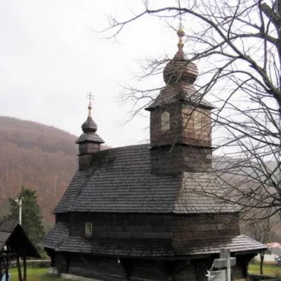 ChurchChurch of St. Basil the Great, LykitsaryLikitsaryunder 1 km from the centreBasil is a wooden church in the village of Likitsary, Zakarpattia region, an architectural monument of national importance (#193).
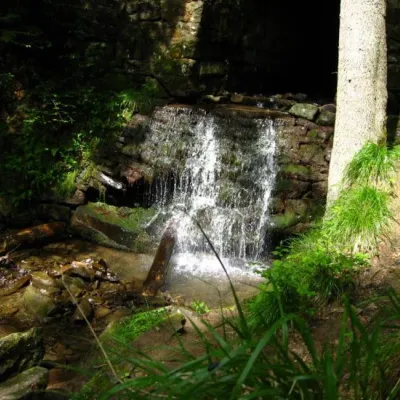 WaterfallLumshory waterfallsLumshory3.8 km from the centreLumshory waterfalls are a group of waterfalls in the Ukrainian Carpathians, a hydrological natural monument of local importance (called "Waterfall on the Turytsia...
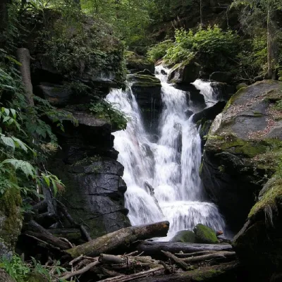 WaterfallVojvodyn waterfallPolianska Huta9.1 km from the centreThe Voyevodyn Waterfall is located on the stream of the same name near the village of Zhdeniyevo in Zakarpattia within the Sokolovi Skeli, an ornithological reserve of...
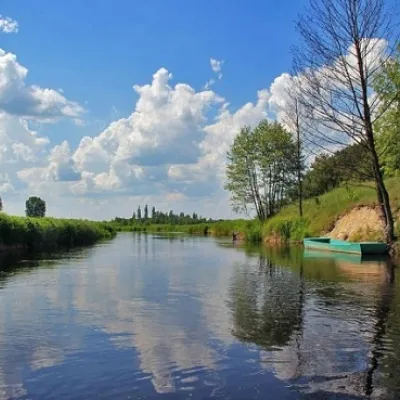 RiverTuria RiverTuri Remety12 km from the centreThe Turia is a small mountain river in western Zakarpattia and a right tributary of the Uzh. It begins north-east of the Polonyna Rivna massif, where its upper course...
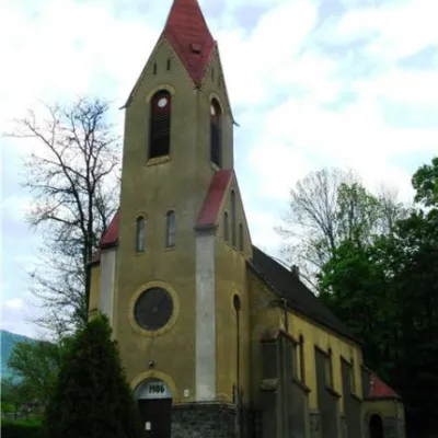 ArchitectureChurch of St. Augustine, PerechynPerechyn19 km from the centreThe city of Perechyn was mentioned in historical documents, lists of possessions, and written works as early as 1266, 1349, and 1425.
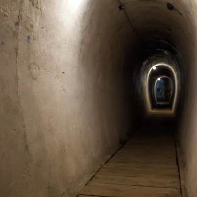 SightVerkhnya Hrabivnytsia, Arpad Line Bunker.Verkhnya Hrabivnytsia20 km from the centreThe bunker in the village of Verkhnia Hrabivnytsia is one of the best preserved monuments of the Second World War on the so-called Arpad Line.
Where to stay
Hotels, guesthouses and cottages in and around Likitsary.
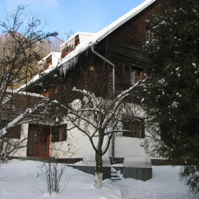 HotelRecreation Base "Lumshory"Lumshory2.5 km from the centreParkingWi‑FiKidsNearby: Lumshory waterfalls 2.1 kmChurch of St. Basil the Great 2.6 km13 trails
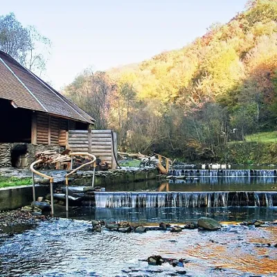 HotelComplex "Myslyvska Sadiba" Lumshory (5 Chans, Pool, Beach)Lumshory2.6 km from the centreHot tubPoolSaunaNearby: Lumshory waterfalls 2.0 kmChurch of St. Basil the Great 2.8 km12 trails
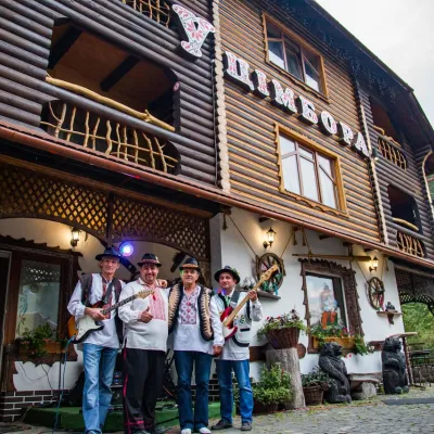 HotelHotel "U Tsimbora" LumshoryLumshory3.1 km from the centreHot tubSaunaSPANearby: Lumshory waterfalls 800 mChurch of St. Basil the Great 3.3 km12 trails
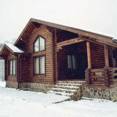 HotelHotel "Equides Karpaty"Turya Polyana10 km from the centrePetsNearby: Mt Runa-Plai 6.8 kmVojvodyn waterfall 8.1 km4 trails
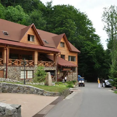 HotelResort "Voyevodyno" Turya PasikaTurya Pasika14 km from the centrePoolSaunaSPANearby: Mt Makovytsia 3.5 km
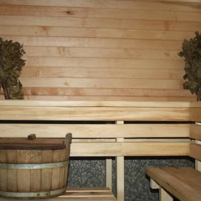 CottageHomestead "Lukacha" ZhdeniyevoPashkivtsi17 km from the centreSaunaFireplaceKitchenNearby: Ostra Gora 5.6 kmVojvodyn waterfall 7.9 km7 trails
Trails nearby
All trails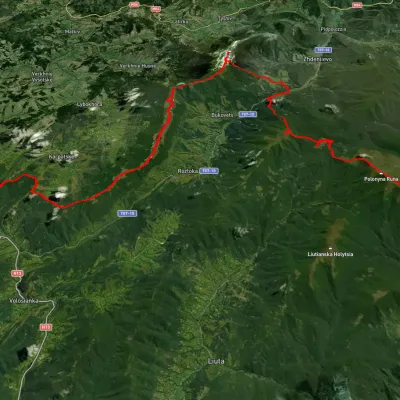 HardMulti-dayUnmarkedSianky village to Turychky villagevia Mount Starostyna, Mount Pikui +3Elevation profile358–1 475 m80.2 kmascent 2 985 m1.7 km from the centre
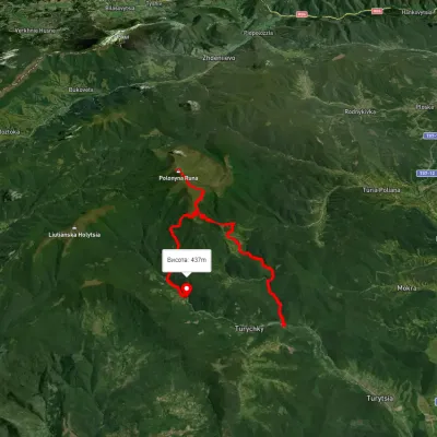 HardMulti-dayUnmarkedTurychky village to Lumshory villagevia Runa polonynaElevation profile275–1 474 m26.5 kmascent 1 290 m≈ 9 h walking1.7 km from the centre
 HardMulti-dayUnmarkedLumshory village loopvia Voievodyn WaterfallElevation profile441–1 472 m30.6 kmascent 2 248 m≈ 12 h walking2.1 km from the centre
Peaks nearby
All peaks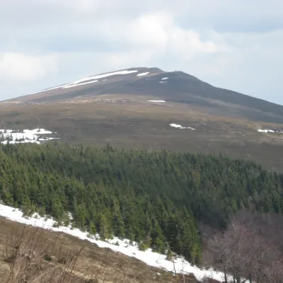 PeakMount Rivna (Polonyna Runa)Lumshoryaltitude 1 480 m6.8 km from the centreRivna, or Polonyna Runa (“runa” means “flat” in the local Transcarpathian dialect), is a mountain massif and its highest summit in the western part of the Polonynskyi...
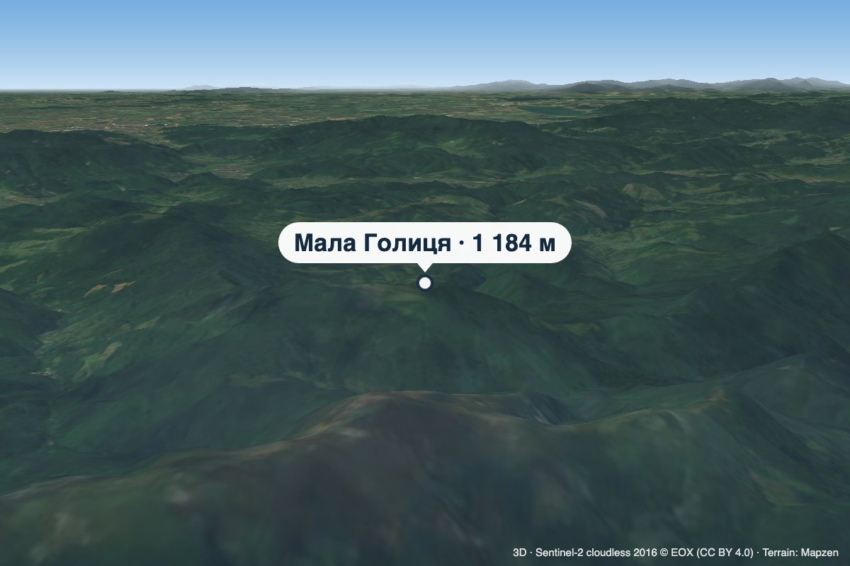 PeakMount Mala HolytsiaLumshoryaltitude 1 184 m6.9 km from the centreMala Holytsia (“Little Holytsia”) is a 1,184 m summit in the north-western part of the Polonynskyi Ridge in Zakarpattia Oblast.
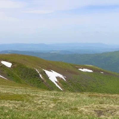 PeakMount Runa-PlaiTurya Polyanaaltitude 1 227 m8 km from the centre3 trails to the topRuna-Play is a 1,227-meter peak of the Ukrainian Carpathians, located in the southeastern part of the Runa Valley.