Mount Beskyd Velykyi
Beskyd Velykyi is a 1,012 m summit on the border of Lviv and Zakarpattia oblasts. It is the first rise of the Vododilnyi (Verkhovyna Watershed) Ridge counting from the Uzhok Pass, about 1.6 km away. The mountain sits on a short, roughly seven-kilometre crest between the pass in the north-west and the valley of the Hnyla stream in the south-east. The nearest villages are Sianky (about 3.3 km), Uzhok (about 3.5 km) and Syhlovate (about 3.8 km).
The summit rises only about fifty metres above the neighbouring saddles. The next summits south-east along the crest are Pereiba (1,018 m, about 1.7 km), Hrebenich (1,040 m) and Blyshnia (1,042 m). Streams from the north-eastern slopes join the Yavoriv brook, while those from the south-western slopes are among the first tributaries of the Uzh. The south-western slopes belong to Uzhanskyi National Nature Park.
How to get there
The red-marked Transcarpathian Tourist Trail skirts the summit on its south-western slope, some 60–90 m below the top. Together with it, seven of our routes pass within 260 m of the summit, most of them from Sianky:
- Sianky – Verkhovyna Watershed Ridge – Mount Pikui – Bilasovytsia, 40.9 km — passes 30 m from the top;
- Sianky – Mount Starostyna – Mount Velykyi Verkh – Mount Pikui, 31.9 km;
- Sianky – Mount Starostyna – Mount Velykyi Verkh – Mount Pikui – Bilasovytsia, 36.5 km;
- Sianky – Starostyna – Pikui – Shcherbovets – Ostra Hora – Polonyna Runa – Turychky, 80.2 km.
Water, shelter and safety
Our map shows plenty of water and shelter nearby: a spring above Syhlovate about 1.1 km to the south-east (at about 950 m), two picnic shelters and a spring above Sianky 1.1–1.5 km to the north-west, and a captured spring and a weather shelter near Uzhok 1.7–1.8 km to the west. About 2.5 km to the west, at 923 m, the map marks a spring named “Disputed source of the Sian”. The condition of all of them is unknown. The state border with Poland runs near the Uzhok Pass, so keep to waymarked paths and carry your passport. The nearest summit with our 7-day forecast is Parashka, about 38 km away: weather on Parashka. In an emergency call 112 or 101 — contacts of the nearest units are on our mountain rescue page.
Interesting facts
- In the 1930s the Polish Tatra Society laid out the red East Beskid Trail, part of the Main Carpathian Trail, along the north-eastern foot of the mountain.
- At the same time a green Czechoslovak trail led over the summit itself.
- The nearby Uzhok Pass separates the sources of two rivers: the Sian begins north of it and the Uzh to the south.
Comments
Places to stay nearby
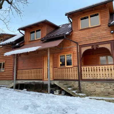 HomesteadVilla Uzh3.5 km from Mount Beskyd VelykyiThe cottage "Villa Uzh" is located amidst picturesque mountains in the village of Uzhok, 5 km from the Volosyanka-Zakarpatska railway station.Nearby: Church of St. Michael 500 m3 trails
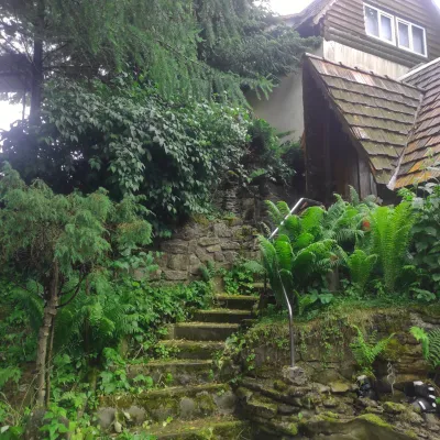 HomesteadHomestead "U Dyadi Vani" Vyshka16 km from Mount Beskyd VelykyiPoolSaunaBBQ
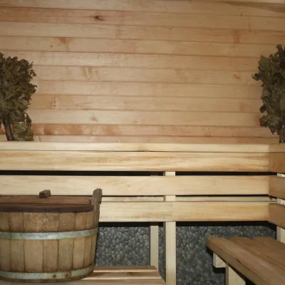 CottageHomestead "Lukacha" Zhdeniyevo20 km from Mount Beskyd VelykyiSaunaFireplaceKitchenNearby: Ostra Gora 5.6 kmVojvodyn waterfall 7.9 km7 trails
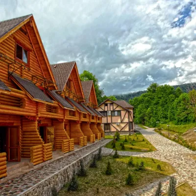 HotelHealth Complex "Uzhansky Kupeli" Uzhok2.9 km from Mount Beskyd VelykyiHot tubPoolSaunaNearby: Church of St. Michael 1.2 km6 trails
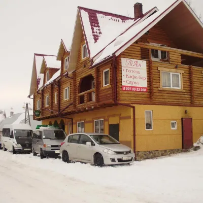 HotelHotel-Restaurant "LiAn" Mykulychyn5.4 km from Mount Beskyd VelykyiSaunaTransferNearby: Church of St. Michael 1.5 km2 trails
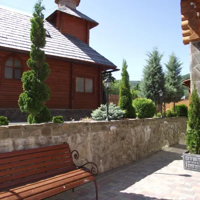 HotelTOP Resort&Spa Vyshka (2.7 km to the Krasia lift)17 km from Mount Beskyd VelykyiPoolSaunaSPA
Trails nearby
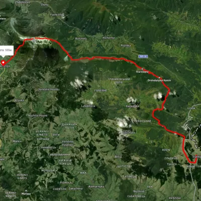 HardMulti-dayUnmarkedSianky village to Bilasovytsia villagevia the Verkhovyna Watershed ridge, Mount PikuiElevation profile558–1 388 m40.9 kmascent 1 396 m≈ 13 h walkingunder 1 km from Mount Beskyd Velykyi
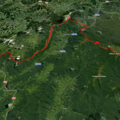 HardMulti-dayUnmarkedSianky village to Turychky villagevia Mount Starostyna, Mount Pikui +3Elevation profile358–1 475 m80.2 kmascent 2 985 munder 1 km from Mount Beskyd Velykyi
 HardMulti-dayMarkedTranscarpathian Tourist TrailElevation profile198–2 031 m393.2 kmascent 30 283 munder 1 km from Mount Beskyd Velykyi
Nearby attractions
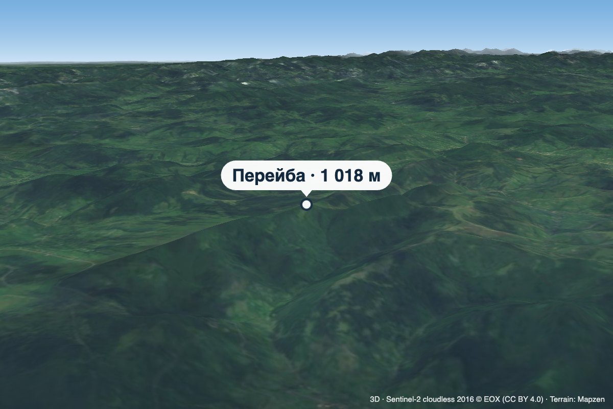 PeakMount Pereibaaltitude 1 018 m · Watershed Ridge range1.7 km from Mount Beskyd VelykyiPereiba is a 1,018 m summit on the Vododilnyi (Verkhovyna Watershed) Ridge, not far from the Uzhok Pass, on the border of Lviv and Zakarpattia oblasts.
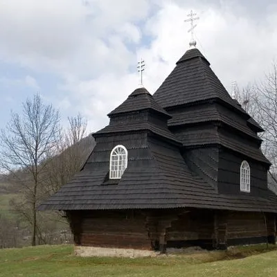 ChurchChurch of St. Michael, Uzhok4 km from Mount Beskyd VelykyiOne of the most striking sights of the Carpathians is undoubtedly the wooden church of the Holy Archangel Michael, located in the village of Uzhok, Velykyi Bereznyi...
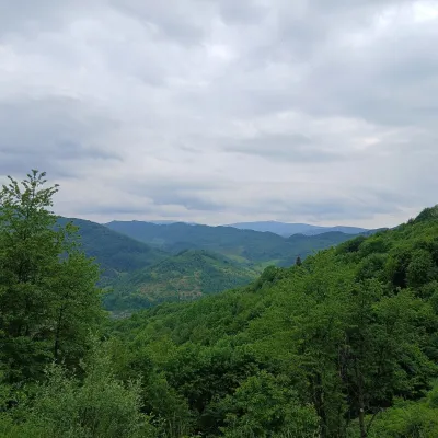 PeakMount Opolonekaltitude 1 028 m4.4 km from Mount Beskyd VelykyiOpolonek (also Opolonyk) is a 1,028 m mountain in the Bieszczady, part of the Eastern Beskids. The summit lies right on the state border between Ukraine and Poland;...