Mount Pereiba
Pereiba is a 1,018 m summit on the Vododilnyi (Verkhovyna Watershed) Ridge, not far from the Uzhok Pass, on the border of Lviv and Zakarpattia oblasts. Walking south-east along the ridge from the pass, it is the second notable summit after Beskyd Velykyi, which stands about 1.7 km to the north-west. The nearest villages are Syhlovate (about 2.6 km), Karpatske (about 3.8 km), Uzhok (about 4.2 km) and Sianky (about 4.9 km).
Further south and south-east the crest leads over Hrebenich (1,040 m, about 1.3 km) and Blyshnia (1,042 m, about 2 km) towards Drohobytskyi Kamin and Starostyna. About 2.8 km north-east of Pereiba rises Kateryna (1,030 m).
How to get there
Seven of our routes cross the summit or pass within 120 m of it, mostly climbing from Sianky onto the Vododilnyi Ridge. Among them:
- Sianky – Mount Starostyna – Mount Velykyi Verkh – Mount Pikui, 31.9 km;
- Sianky – Mount Starostyna – Mount Velykyi Verkh – Mount Pikui – Bilasovytsia, 36.5 km;
- Sianky – Verkhovyna Watershed Ridge – Mount Pikui – Bilasovytsia, 40.9 km;
- Sianky – Starostyna – Pikui – Shcherbovets – Ostra Hora – Polonyna Runa – Turychky, 80.2 km, a multi-day crossing.
The Transcarpathian Tourist Trail also follows the crest here. Routes from Uzhok via Drohobytskyi Kamin run about 1.7–1.8 km from the summit.
Water, shelter and safety
The nearest spring on our map is about 590 m to the north-west, at about 950 m, above Syhlovate (condition unknown). About 1.7 km to the south, at 948 m, our map marks the “Source of the Uzh River” spring, and 1.8 km away there is a weather shelter above Karpatske; a few more springs near Karpatske (one of them only trickles) are 2–2.1 km away. A picnic shelter stands above Sianky, about 2.8 km to the north-west. In fog it is easy to lose the waymarked path on the crest, so carry an offline map. The nearest summit with our 7-day forecast is Parashka, about 38 km away: weather on Parashka. In an emergency call 112 or 101 — contacts of the nearest units are on our mountain rescue page.
Interesting facts
- The Uzhok Pass lies nearby: the Sian rises on its northern side and the Uzh on its southern side.
- In 1872 a railway linking Budapest with Eastern Galicia was opened across the pass; the line has seven tunnels, the longest 910 m.
- During the First World War bloody battles were fought for the Uzhok Pass, recalled by a military cemetery.
Comments
Places to stay nearby
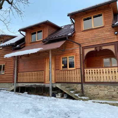 HomesteadVilla Uzh4.2 km from Mount PereibaThe cottage "Villa Uzh" is located amidst picturesque mountains in the village of Uzhok, 5 km from the Volosyanka-Zakarpatska railway station.Nearby: Church of St. Michael 500 m3 trails
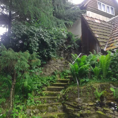 HomesteadHomestead "U Dyadi Vani" Vyshka16 km from Mount PereibaPoolSaunaBBQ
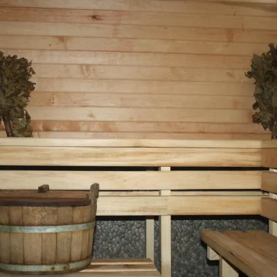 CottageHomestead "Lukacha" Zhdeniyevo18 km from Mount PereibaSaunaFireplaceKitchenNearby: Ostra Gora 5.6 kmVojvodyn waterfall 7.9 km7 trails
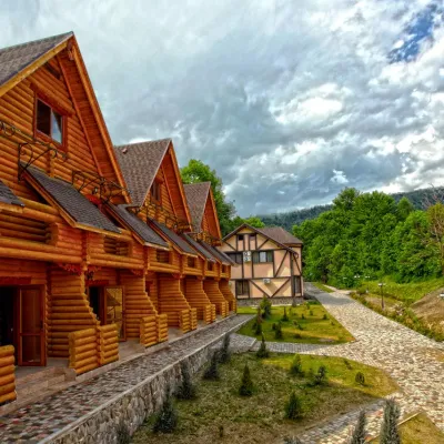 HotelHealth Complex "Uzhansky Kupeli" Uzhok3.7 km from Mount PereibaHot tubPoolSaunaNearby: Church of St. Michael 1.2 km6 trails
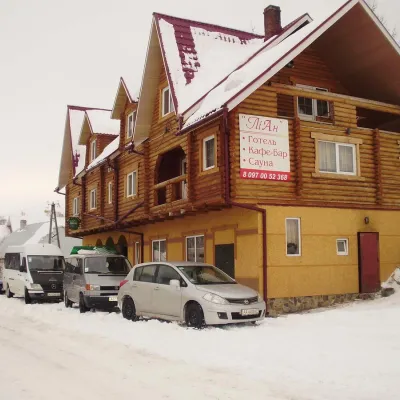 HotelHotel-Restaurant "LiAn" Mykulychyn6.1 km from Mount PereibaSaunaTransferNearby: Church of St. Michael 1.5 km2 trails
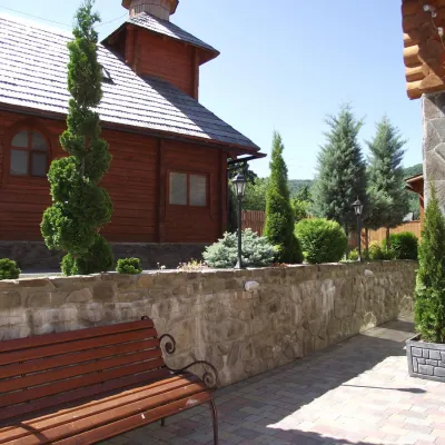 HotelTOP Resort&Spa Vyshka (2.7 km to the Krasia lift)17 km from Mount PereibaPoolSaunaSPA
Trails nearby
 HardMulti-dayUnmarkedBilasovytsia village to Sianky villagevia Mount Pikui, the Ruska Put Pass +1Elevation profile557–1 394 m41.1 kmascent 1 923 munder 1 km from Mount Pereiba
 HardMulti-dayMarkedTranscarpathian Tourist TrailElevation profile198–2 031 m393.2 kmascent 30 283 munder 1 km from Mount Pereiba
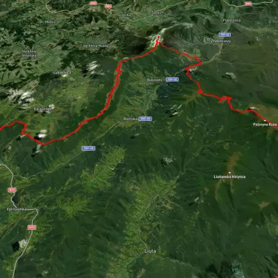 HardMulti-dayUnmarkedSianky village to Turychky villagevia Mount Starostyna, Mount Pikui +3Elevation profile358–1 475 m80.2 kmascent 2 985 munder 1 km from Mount Pereiba
Nearby attractions
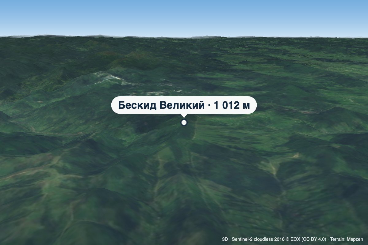 PeakMount Beskyd Velykyialtitude 1 012 m · Watershed Ridge range1.7 km from Mount PereibaBeskyd Velykyi is a 1,012 m summit on the border of Lviv and Zakarpattia oblasts. It is the first rise of the Vododilnyi (Verkhovyna Watershed) Ridge counting from the...
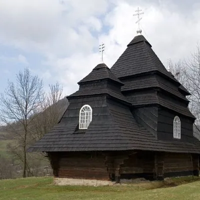 ChurchChurch of St. Michael, Uzhok4.7 km from Mount PereibaOne of the most striking sights of the Carpathians is undoubtedly the wooden church of the Holy Archangel Michael, located in the village of Uzhok, Velykyi Bereznyi...
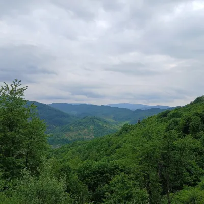 PeakMount Opolonekaltitude 1 028 m5.7 km from Mount PereibaOpolonek (also Opolonyk) is a 1,028 m mountain in the Bieszczady, part of the Eastern Beskids. The summit lies right on the state border between Ukraine and Poland;...