Mount Menchul (Mizhhiria)
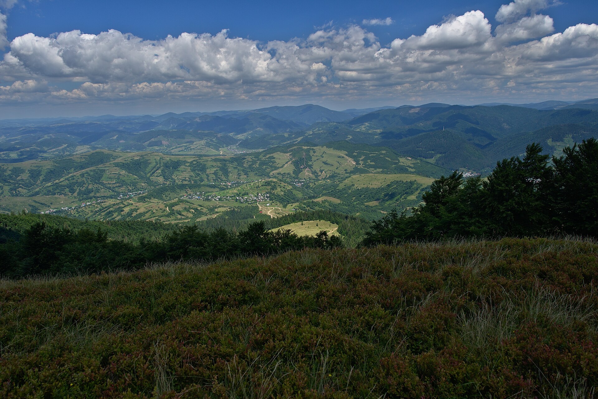
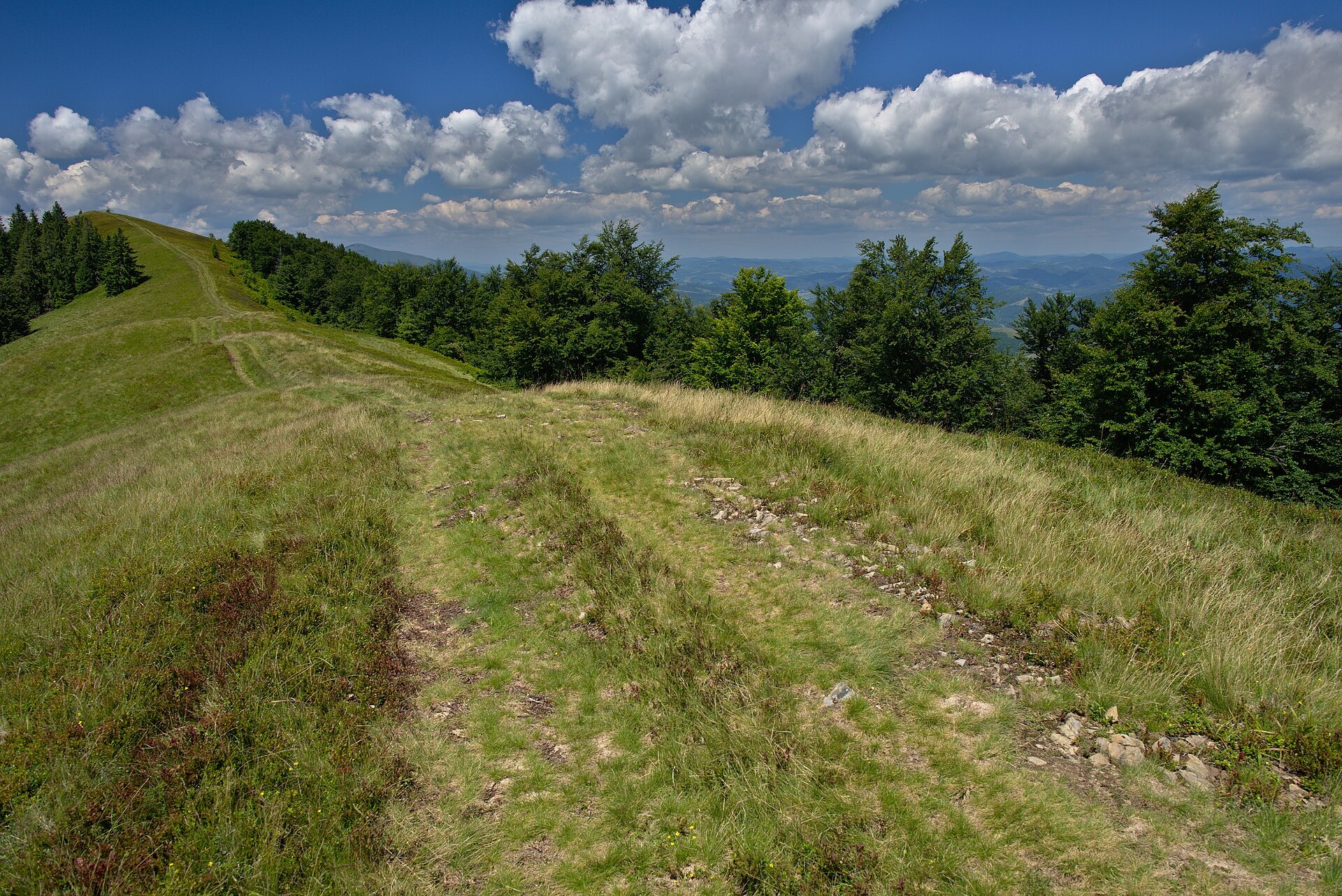
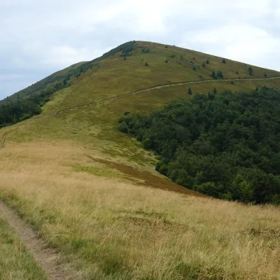
Menchul is a 1,247 m summit in the south-eastern part of the Polonyna Borzhava massif in Zakarpattia Oblast. The nearest village is Sopky (about 2.8 km); Mizhhiria is about 4.8 km away, Zaperedillia about 5.9 km and Soimy about 6.2 km. For most hikers it is the first (or last) high summit on the Borzhava crest when walking from Mizhhiria. Do not confuse it with the mountain of the same name in Chornohora.
About 1.3 km north-west of Menchul stands Olenovala (931 m), and 2.2 km to the south-east Pohar (1,118 m). To the west the ridge leads to Polonyna Kuk (1,189 m, about 3.5 km) and on to Kuk (1,361 m), which rises about 4 km to the south-west; about 3.9 km to the west stands Kaminna (1,127 m).
How to get there
Seven of our routes cross Menchul or pass within 35 m of the summit; almost all of them start or finish in Mizhhiria:
- Pylypets – Shypit Waterfall – Mount Hemba – Mount Zhyd-Mahura – Mizhhiria, 38.1 km, the shortest crossing of Borzhava to Mizhhiria;
- Vovchyi – Mount Stii – Mount Hemba – Mount Zhyd-Mahura – Pryslip pass – Mizhhiria, 45.1 km, about 2,350 m of ascent;
- Mizhhiria – Mount Zhyd-Mahura – Mount Hemba – Mount Velykyi Verkh – Volovets, 55.2 km, for those starting in Mizhhiria.
The Transcarpathian Tourist Trail also crosses the summit.
Water, shelter and safety
On our map the nearest spring is about 650 m west of the summit, at roughly 990 m; another is about 1.7 km to the south-west (condition of both unknown). Closer to Mizhhiria, about 2.8 km to the east, a spring with drinking water is marked (about 770 m), and 3.1 km away a hut at about 620 m. The climb from Mizhhiria is long and the ridge is exposed to wind and storms, so allow enough time and water. The nearest summit with our forecast is the weather on Mount Stii, about 22 km away. In an emergency call 112 or 101 — mountain rescue works around the clock.
Photos: Jiří Komárek, CC BY-SA 4.0; Jiří Komárek, CC BY-SA 4.0 — Wikimedia Commons.
Location on the map
Comments
Places to stay nearby
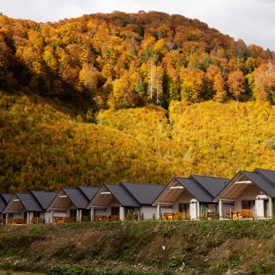 CottageCottages Mizhhirya Mountain Resort4.1 km from Mount Menchul (Mizhhiria)Rest in the mountains: Cottage village in Mykulychyn ? Looking for a comfortable place for family or friends?Nearby: Church of Peter and Paul 4.2 kmPolonyna-Kuk 6.7 km4 trails
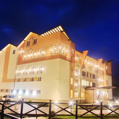 HotelHealth and Wellness Complex "Zhyva Voda" Mykhyliya (pool, sauna, hot tub, salt room)4.3 km from Mount Menchul (Mizhhiria)Hot tubPoolSaunaNearby: Church of Peter and Paul 500 mSynevyr Pass 7.6 km4 trails
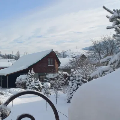 HomesteadHomestead "Vidpochyn"4.5 km from Mount Menchul (Mizhhiria)BBQKitchenParkingNearby: Church of Peter and Paul 700 mSynevyr Pass 7.5 km4 trails
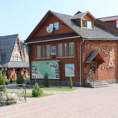 HotelHotel Complex "Trembita" Mykhyhirya4.8 km from Mount Menchul (Mizhhiria)PoolSaunaSPANearby: Church of Peter and Paul 3.1 kmSynevyr Pass 8.3 km4 trails
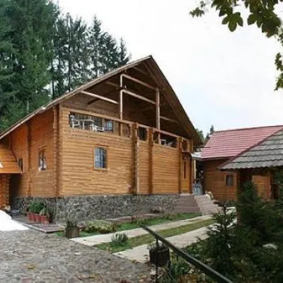 HotelHotel "Non-Stop"4.9 km from Mount Menchul (Mizhhiria)SaunaBBQParkingNearby: Church of Peter and Paul 1.9 kmSynevyr Pass 7.4 km4 trails
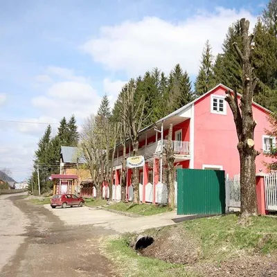 HotelHotel Complex "Turyst" Mykulychyn5.2 km from Mount Menchul (Mizhhiria)SaunaBBQParkingNearby: Church of Peter and Paul 1.8 kmSynevyr Pass 7.1 km4 trails
Trails nearby
 HardMulti-dayMarkedTranscarpathian Tourist TrailElevation profile198–2 031 m393.2 kmascent 30 283 munder 1 km from Mount Menchul (Mizhhiria)
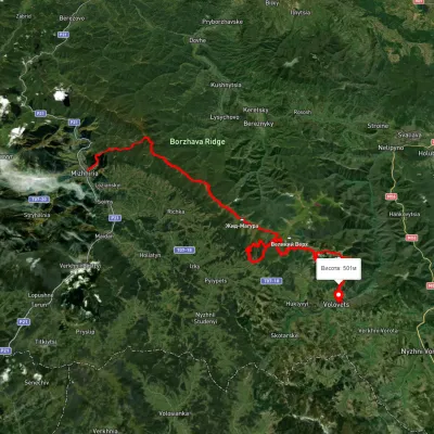 HardMulti-dayUnmarkedMizhhiria to Volovetsvia Mount Zhyd-Mahura, Mount Hemba +1Elevation profile430–1 478 m79.4 kmascent 3 584 munder 1 km from Mount Menchul (Mizhhiria)
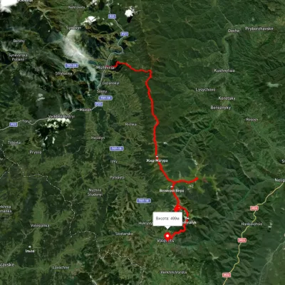 HardMulti-dayUnmarkedMizhhiria to Volovets villagevia Mount Zhyd-Mahura, Mount Hemba +2Elevation profile434–1 664 m56.4 kmascent 3 196 munder 1 km from Mount Menchul (Mizhhiria)
Nearby attractions
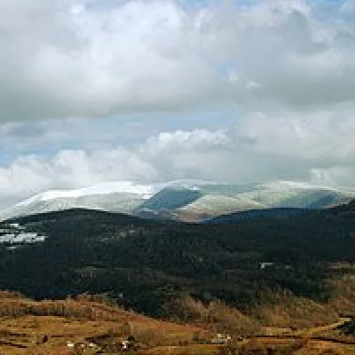 Mountain meadowPolonyna-Kukaltitude 1 189 m · Borzhava range3.5 km from Mount Menchul (Mizhhiria)Very beautiful scenery, there is a spring and places to spend the night with a tent down the road to Mount Cook.
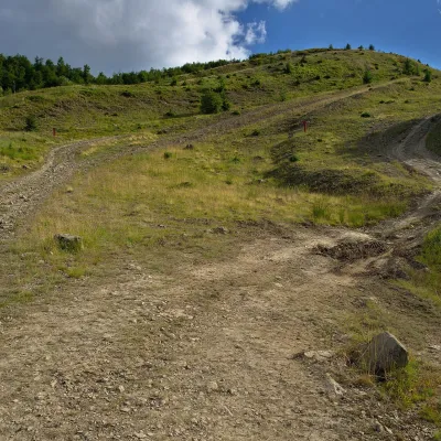 PeakMount Kaminnaaltitude 1 127 m · Borzhava range3.9 km from Mount Menchul (Mizhhiria)Kaminna (sometimes called Kamiana) is a 1,127 m summit in the south-eastern part of the Polonyna Borzhava massif in Zakarpattia Oblast, on the stretch of ridge between...
 PeakMount Kukaltitude 1 361 m · Borzhava range4 km from Mount Menchul (Mizhhiria)Kuk is a mountain in the south-eastern part of the Polonyna Borzhava massif in Zakarpattia Oblast. It stands south-west of Mizhhiria and south of the village of...