Mount Lyutyanskaya Golitsa
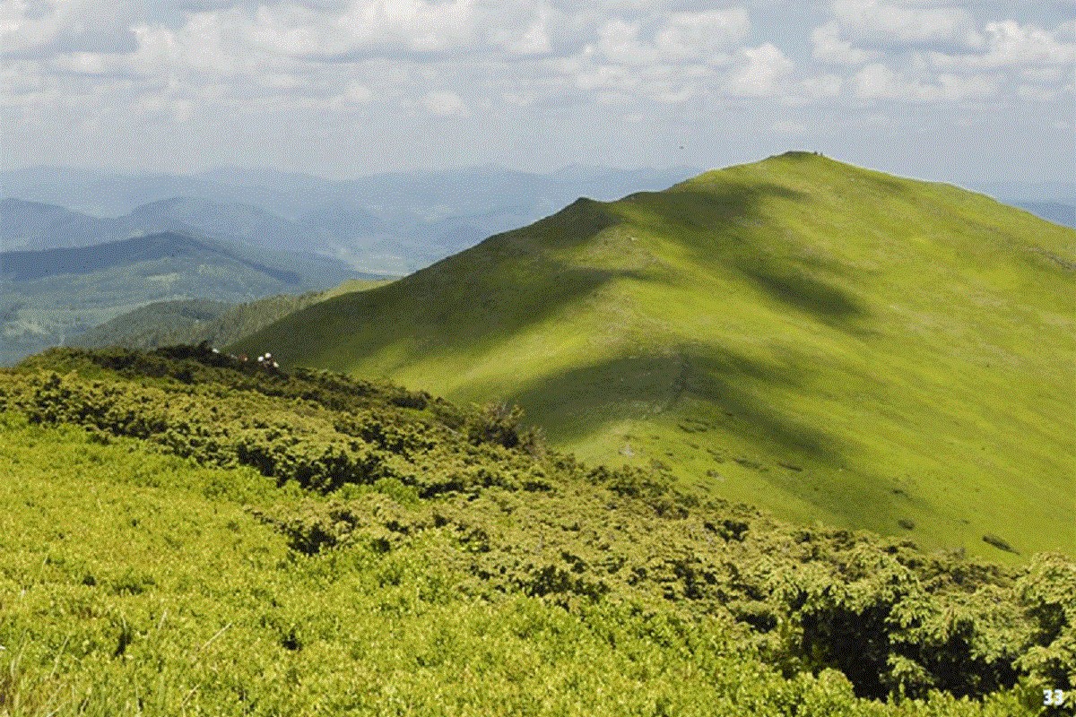
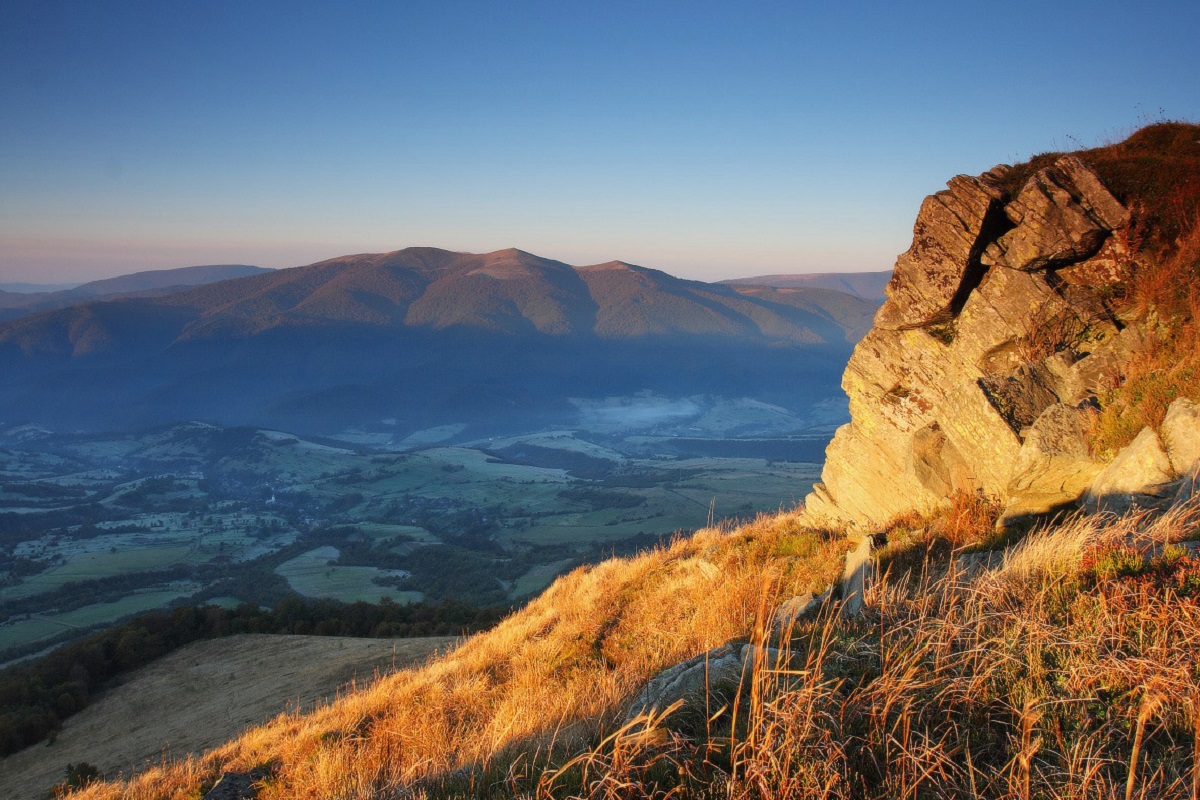
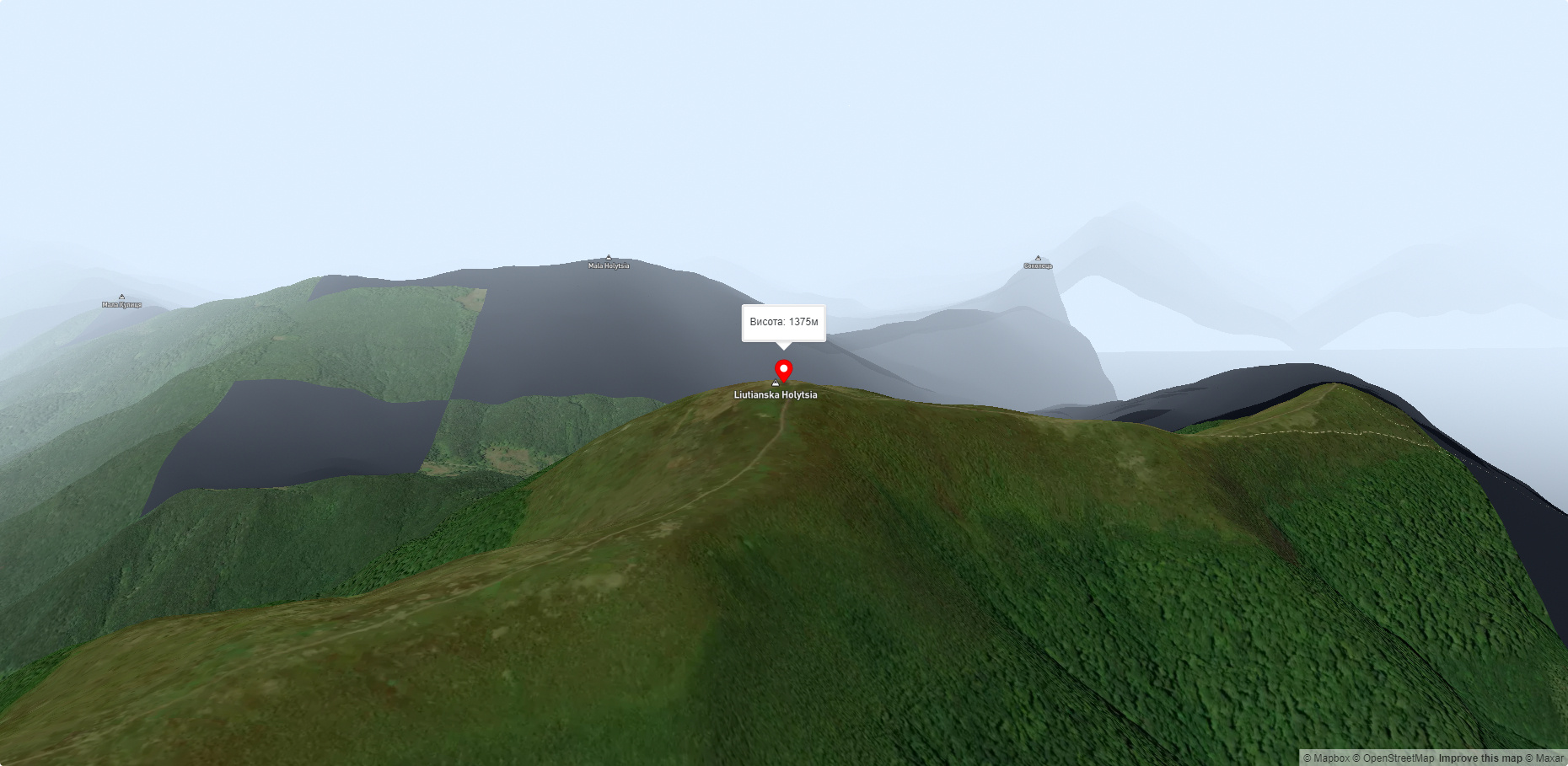
Liutianska Holytsia (also known as Lautanska Holytsia and Liutanska Holytsia) is a 1375-meter peak in the Ukrainian Carpathians, located in the northwestern part of the Polonyna Range (Polonyna Beskyd).
The mountain is located within the Velykyi Bereznyi district of Zakarpattia region, south of the village of Liuta.
Lyutyanska Holytsia has the shape of a narrow ridge stretching from northwest to southeast. The slopes of the peak in the northeastern direction are very steep and difficult to access.
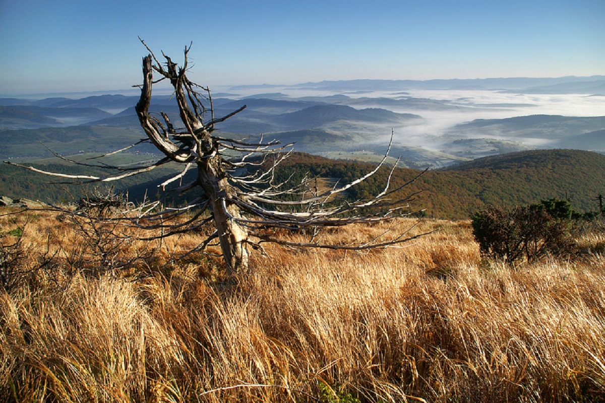
The foot of the mountain is covered with forests, and above - with meadows.
To the southeast of Liutianska Holytsia is the Polonyna Runa mountain range.
The nearest settlements are the village of Liuta and the village of Lumshory in the Velykyi Bereznyi and Perechyn districts of Zakarpattia region, respectively.
Accommodation around Mount Lyutyanskaya Golitsa:


Nearby hiking trails near Mount Lyutyanskaya Golitsa:
Which trails pass by Mount Lyutyanskaya Golitsa?
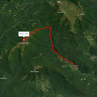
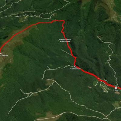
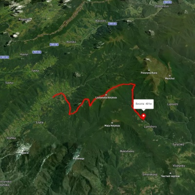
We suggest these hiking trails through or near Mount Lyutyanskaya Golitsa: Lumshory village – Mount Liutianska Holytsia, Lumshory village – Mount Liutianska Holytsia – Lumshory village, Liuta village, via Mount Danylivska and Mount Liutianska Holytsia to Lumshory village, Lumshory village – Voievodyn Waterfall – Lumshory village, Lumshory village – Mount Liutianska Holytsia, Liuta – Liutianska Holytsia – Lumshory (green route)