Muszyna – Muszynka
Trail map
Route, springs and shelters: © OpenStreetMap contributors (ODbL) · elevation: Copernicus DEM © DLR e.V., © Airbus DS · Data & licences
About the trail
Route Muszyna – Muszynka. Has yellow marking (regional route, PTTK Krynica). Waymarking data: OpenStreetMap (© OpenStreetMap contributors, ODbL).
Officially marked regional tourist route. The marking is yellow, the sign is a horizontal stripe on a white background. Marked and maintained by: PTTK Krynica. Length of the route — 21.7 km. Location: mountain range — Sądecki Beskid, Poland.
At a glance
A one-day route of 21.7 km with 822 m of ascent from Muszyna to Muszynka. Estimated walking time: about 7 h, not counting stops. Difficulty: moderate. Waymarking: yellow.
Route stages
- 0–2 kmClimb of 250 m to Malnik (727 m)
- 2–6 kmGentle ups and downs at 700–890 m, past Garby
- 6–10 kmDescent of 230 m (down to 652 m)
- 10–15 kmClimb of 220 m to Pusta (867 m)
- 15–22 kmGentle ups and downs at 620–880 m
Steepest kilometre: km 1–2, a climb of 230 m (≈23%).
Water and overnight stays
Our map shows no springs near the trail — bring your own water (at least 3 l).
Huts and shelters near the trail: Hut below Barwinek (km 11).
When to go
The route can be walked most of the year; it is most comfortable from April to October.
Getting there
Start: Muszyna. This is a one-way route: the finish is 13 km from the start in a straight line, so plan your way back in advance.
FAQ
- How long does the route take?
- Estimated walking time: about 7 h, not counting stops.
- Is there water on the route?
- Our map shows no springs near the trail — bring your own water (at least 3 l).
- Where can I stay overnight?
- Huts and shelters near the trail: Hut below Barwinek (km 11).
Water and shelter on the route
- Hut below Barwinekkm 10.6 from the start · 300 m off the path · Not verified · 743 m
Comments
Trails nearby
All trails
Craft nearby
All craft places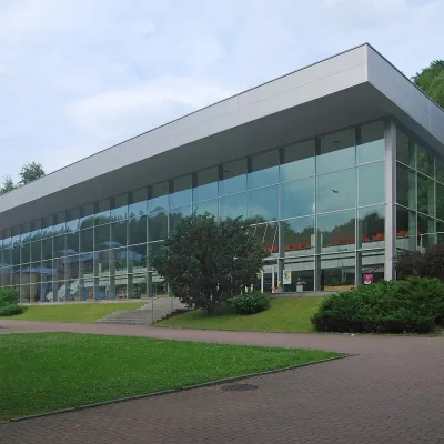 Water parks & thermal poolsKrynica-Zdrój pump rooms: tasting the mineral waters8.3 km from the trailKrynica-Zdrój grew up around its mineral springs, and the best way to feel the spa is to walk round its pump rooms and taste the local waters.
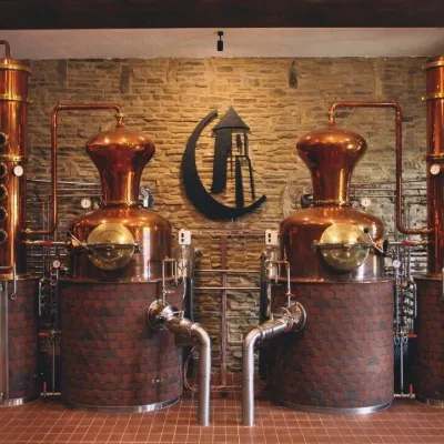 Craft producersCastle Distillery below Ľubovňa Castle: fruit spirits and tastings15 km from the trailStará Ľubovňa is a town in northern Spiš, overlooked by Ľubovňa Castle. For more than three and a half centuries Ľubovňa was one of the Spiš towns pledged to the...
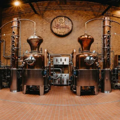 Craft producersSpišská Pálenica, Stará Ľubovňa: distillery tour and Spiš borovička16 km from the trailSpiš boasts perhaps the oldest history of distilling in Europe: at the hillfort of Myšia Hôrka near Spišský Štvrtok, part of a distillation vessel from around 1500 BC...
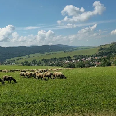 Cheese dairies & pasturesFarma Kamenica — Family Sheep Farm and Cheese Dairy in Šariš17 km from the trailKamenica is a village in northern Šariš, in the valley of the Kameničanka stream, at about 483 m above sea level.
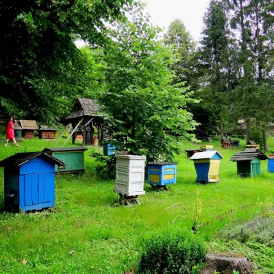 Honey & meaderiesBarć Apiary in Kamianna, the Beekeepers' Village19 km from the trailThe Barć ("Bee Tree") apiary in the Lemko village of Kamianna, between Krynica-Zdrój and Nowy Sącz, is one of Poland's best-known beekeeping places, and Kamianna is...
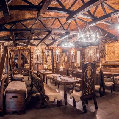 Craft producersNestville Distillery, Hniezdne — Home of the First Slovak Whisky19 km from the trailThis tradition is the basis for BGV, a company founded in 2001, which built the Nestville Distillery here.
