Mount Kopylash


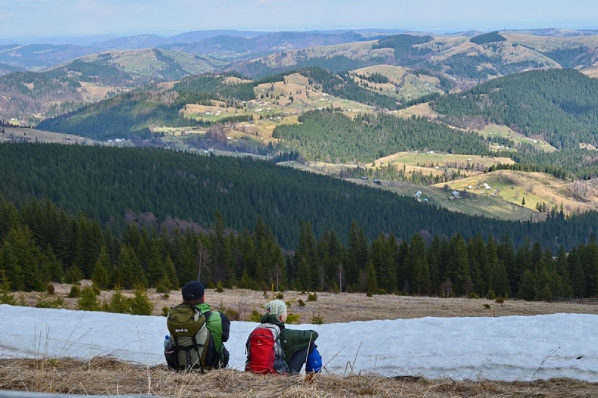
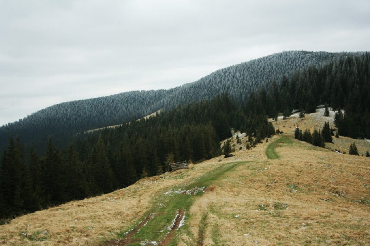
Mount Kopylash is a 1599-meter cone-shaped peak in the Ukrainian Carpathians, which is located within the main ridge of the Chyvchyn Mountains(Marmarosh mountain range). It is located in the Verkhovyna district of Ivano-Frankivsk region, southwest of the village of Zelene.
The top of Mount Kopylash is unforested. The slopes are mostly steep and difficult to access, especially the southern and eastern ones.
To the east of Kopylash is Mount Kernychnyi, to the northeast is Mount Regeska, and to the northwest is the pass through which the so-called Mackenzie Road leads.
The state border between Ukraine and Romania stretches across the mountain from west to northeast.
The nearest settlement is the village of Zelene in the Verkhovyna district of Ivano-Frankivsk region.
Location on the map
Water and shelter nearby
- Border guards' hut below Mount Kopylash440 m · Not verified · 1 501 m
- Hut on Polonyna Bercheska840 m · Not verified · 1 496 m
- Hut on Polonyna Rehieska Velyka2.8 km · Not verified · 1 514 m
Comments
Places to stay nearby
All stays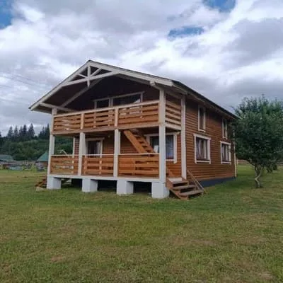 HotelU Vasylia IvanovichaVerkhovyna16 km from Mount KopylashBBQParkingWi‑FiNearby: Museum of Hutsul embroidery 2.0 kmMt Rozticka 3.7 km2 trailsfrom 700 UAH per night
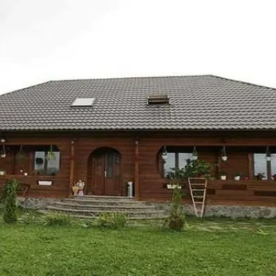 HotelPid Vukhatym KamenemDzembronia18 km from Mount KopylashHot tubBBQParkingNearby: Polonyna Psarivka 2.3 kmMt Smotrych 4.5 km33 trailsfrom 1 210 UAH per night
Trails via Mount Kopylash
All 2

Nearby attractions
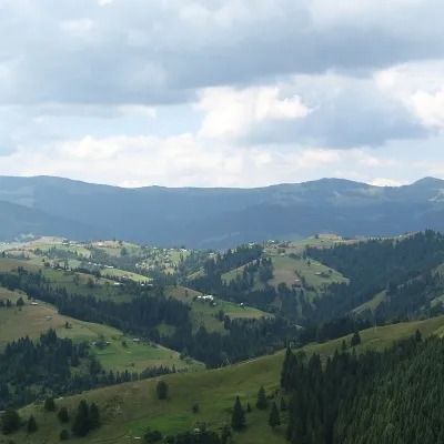 PeakMount KernychnyZelenealtitude 1 589 m · Chyvchyny range1.9 km from Mount Kopylash2 trails to the topKernychnyi is a 1,589-meter peak of the Ukrainian Carpathians, which is located in the Chyvchyn Mountains of the Marmarosh mountain range.
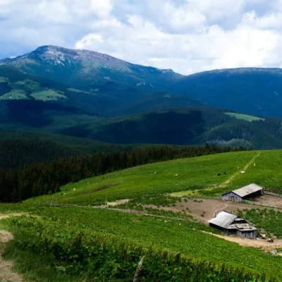 Mountain meadowPolonyna RadulYavirnyk (Shybene)altitude 1 487 m · Marmarosh range4.8 km from Mount KopylashThe Radul meadow is located within the Marmarosh Massif. It is located almost at the border with Romania.Shepherds keep sheep and cows in themeadow.
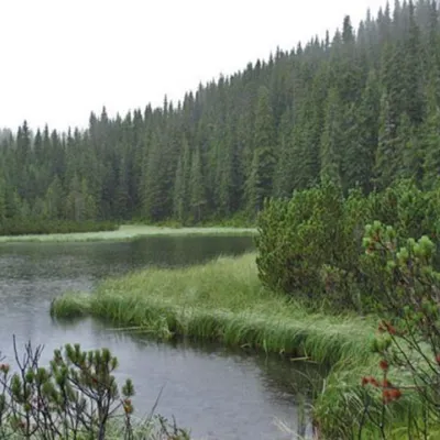 LakeLake MaricheykaYavirnyk (Shybene)11 km from Mount KopylashLake Maricheyka is one of the most picturesque high-altitude glacial lakes in the Carpathians, located on the northeastern slope of Mount Shuryn, in the Chornohora...
Craft nearby
All craft places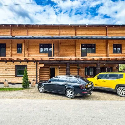 Koliby & Hutsul cuisineZRUB Ethno Restaurant, IltsiIltsi26 km from Mount KopylashZRUB Ethno Restaurant is a new log-built home of Hutsul cooking in the village of Iltsi, on the edge of Verkhovyna, the town often called the Hutsul capital.
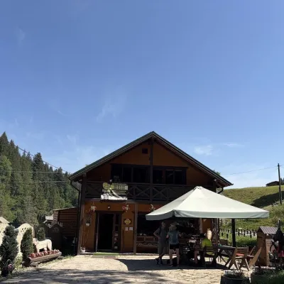 Craft shopsKopalnia Bryndzy cheese shop and tasting, VerkhovynaVerkhovyna27 km from Mount KopylashKopalnia Bryndzy (“The Brynza Mine”) is a small farm cheese shop with a tasting room on the edge of Verkhovyna, in the valley of the Zhabievskyi stream.
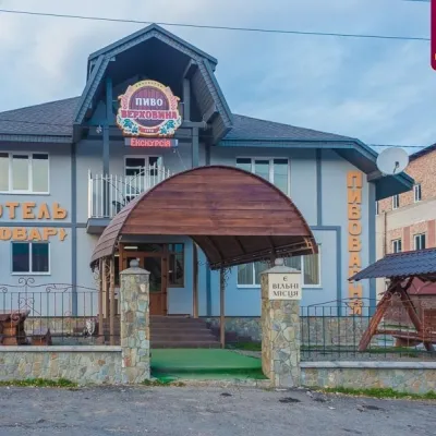 Craft beer & breweriesVerkhovyna Brewery at the Pyvovar Motel, VerkhovynaVerkhovyna28 km from Mount KopylashVerkhovyna Brewery operates at the Pyvovar motel on the approach to Verkhovyna, the Hutsul capital of the Carpathians.
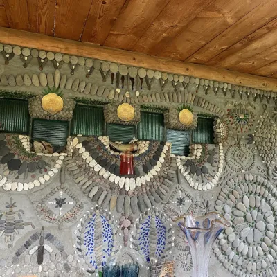 Ethno parks & homesteadsArt Ethno-Sadyba “Tsikava Sadyba”, VerkhovynaVerkhovyna28 km from Mount KopylashTsikava Sadyba («The Curious Estate») is a private art homestead in the very centre of Verkhovyna that local housewife and artist Oksana Susiak has been shaping since...
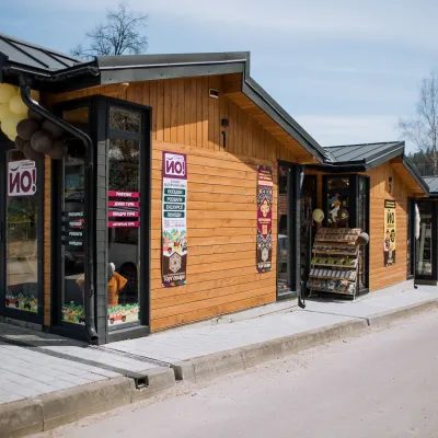 Markets & fairsTorhovyshche Souvenir Market, VerkhovynaVerkhovyna29 km from Mount KopylashTorhovyshche is a modern souvenir market right in the centre of Verkhovyna, the capital of the mountain Hutsul region.
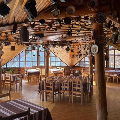 Koliby & Hutsul cuisineKolyba Museum, DiloveDilove31 km from Mount KopylashThe Kolyba Museum in Dilove is a timber restaurant serving Hutsul food right on the H09 highway, a few steps from the marker of the geographical centre of Europe in...
