Jaworzec
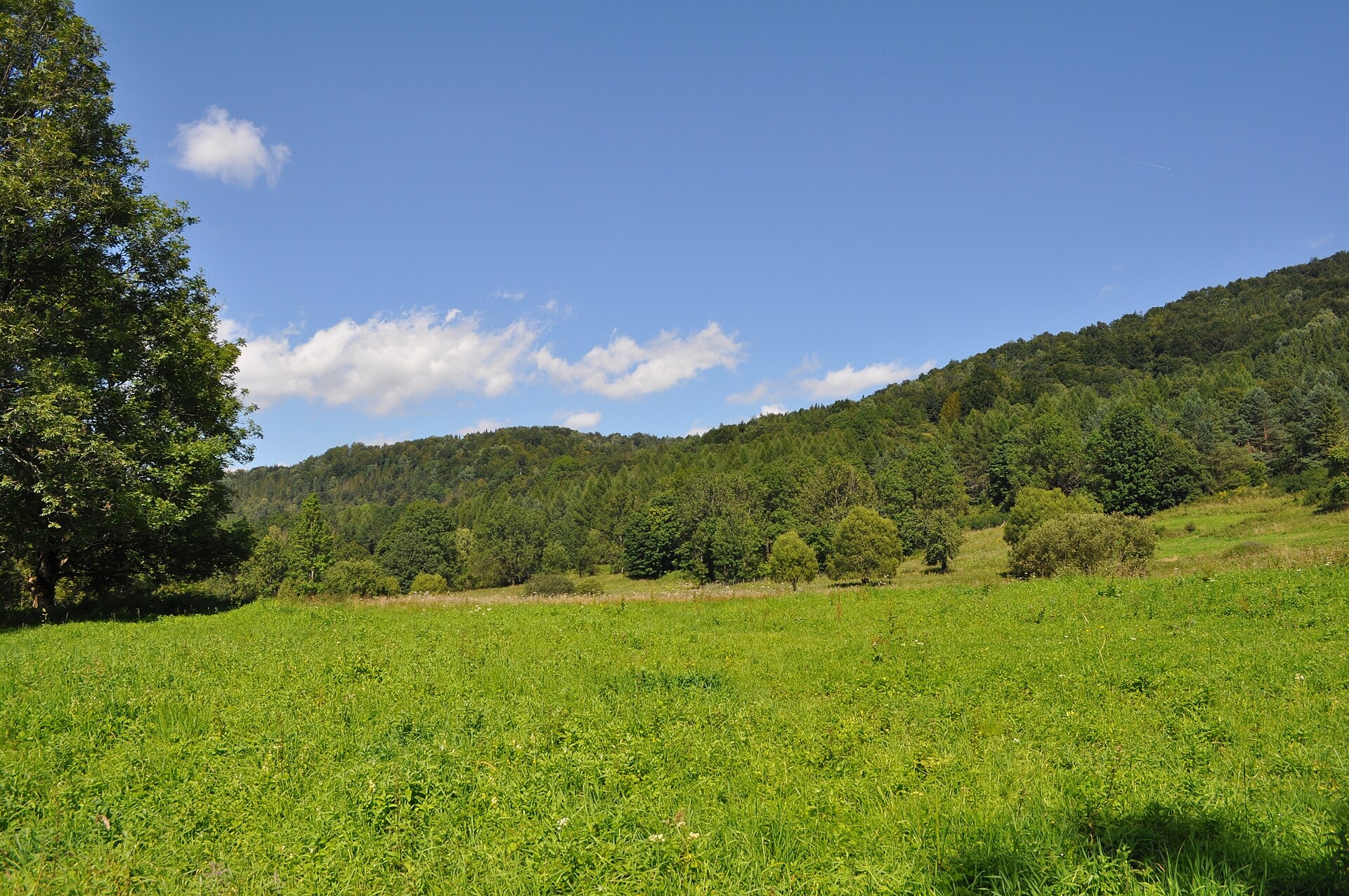
Photos: Paweł 'pbm' Szubert (talk), CC BY-SA 3.0 (Wikimedia Commons)
Jaworzec is a village in Poland.
Mountains nearby: Bieszczady.
Here and nearby on the site: 1 trail, 1 mountain hut or shelter.
Facts: Wikidata, OpenStreetMap. More on Wikipedia
Trails nearby
All trails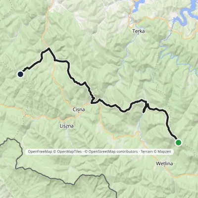 HardMulti-dayMarkedOrłowicz Pass JaworneElevation profile525–1 094 m33.9 kmascent 1 394 m≈ 11.5 h walkingunder 1 km from the centre
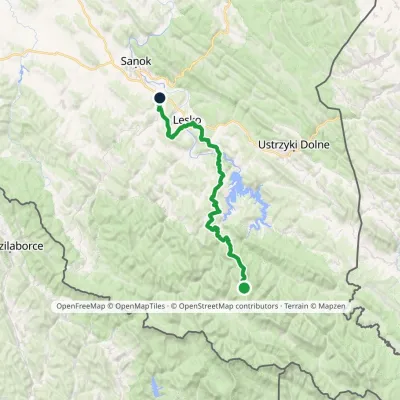 HardMulti-dayMarkedKrysowa ZagórzElevation profile306–924 m60.8 kmascent 1 500 m1.7 km from the centre
 HardMulti-dayMarkedMain Trail of BeskidyElevation profile309–1 723 m499.9 kmascent 19 519 m3.9 km from the centre
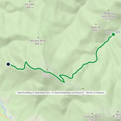 EasyOne-dayMarkedNature trail Suche Rzeki Smerek «Silver Fir»Elevation profile612–1 206 m8 kmascent 594 m≈ 3 h walking3.9 km from the centre
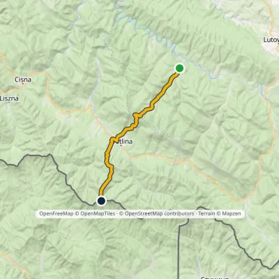 HardTwo-dayMarkedRiaba Skała ZatwarnicaElevation profile512–1 198 m20.1 kmascent 1 269 m≈ 7.5 h walking5.6 km from the centre
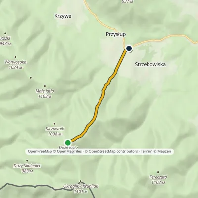 EasyOne-dayMarkedJasło Przysłup Pass (railway station)Elevation profile671–1 153 m3.9 kmascent 5 m≈ 60 min walking5.7 km from the centre
Peaks nearby
All peaks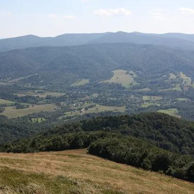 PeakSmerekSmerekaltitude 1 222 m5 km from the centreSmerek (1,222 m, other sources 1,223 m) is a mountain in the Western Bieszczady near the villages of Smerek and Wetlina, about 3.1 km from each.
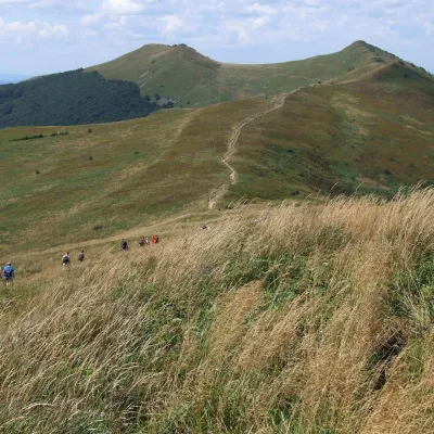 PeakOsadzki WierchBrzegi Górnealtitude 1 253 m8.8 km from the centreOsadzki Wierch (1,253 m; other sources 1,251 m) is the second-highest top of Połonina Wetlińska in the Western Bieszczady and the highest one reached by a hiking trail...
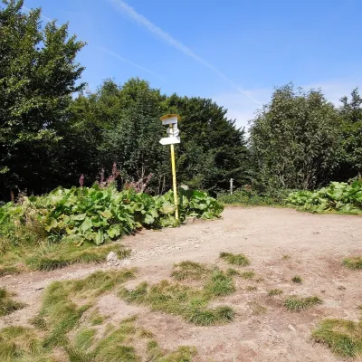 PeakOkrąglikStrzebowiskaaltitude 1 101 m10 km from the centreOkrąglik (Slovak Kruhliak) is a summit about 1,101 m high in the border range of the Western Bieszczady, on the frontier between Poland and Slovakia (the Slovak part...
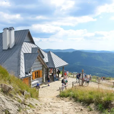 PeakHasiakowa SkałaBrzegi Górnealtitude 1 232 m11 km from the centreHasiakowa Skała (1,232 m) is the easternmost culmination of Połonina Wetlińska in the Western Bieszczady.
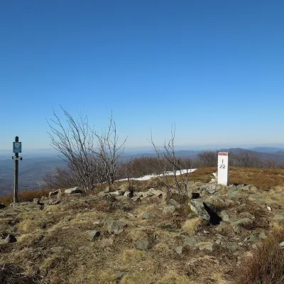 PeakPłaszaWetlinaaltitude 1 163 m13 km from the centrePłasza (Slovak Pľaša) is a 1163 m summit in the Western Bieszczady on the Polish–Slovak border; Slovak geographers place it in the Bukovské vrchy.
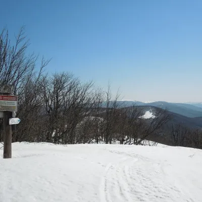 PeakRiaba SkałaWetlinaaltitude 1 199 m13 km from the centreRiaba Skała (also Rabia Skała; Slovak: Jarabá skala) is a 1,199 m summit on the border ridge of the Western Bieszczady, on the Polish–Slovak border.
What to visit
All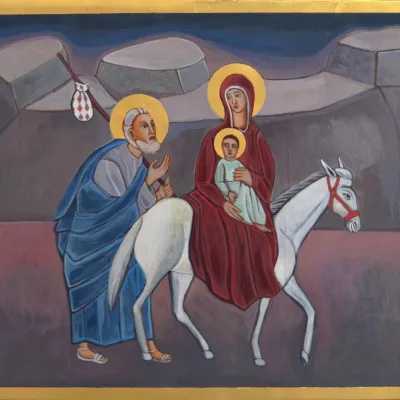 Crafts & workshopsVeraikon Icon Studio, Cisna: Carpathian icons and workshopsCisna7.8 km from the centreThe Veraikon Icon Studio (Pracownia Ikon Veraikon) in Cisna is, in its owners' words, the oldest and largest icon studio in the Bieszczady.
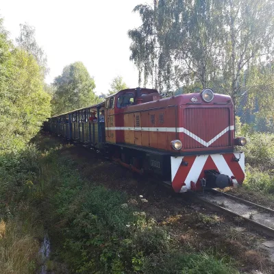 Historic siteBieszczady Forest RailwayLiszna10 km from the centreThe Bieszczady Forest Railway (Bieszczadzka Kolejka Leśna) is a 750 mm narrow-gauge line, the highest-lying narrow-gauge railway in Poland and one of the Bieszczady's...
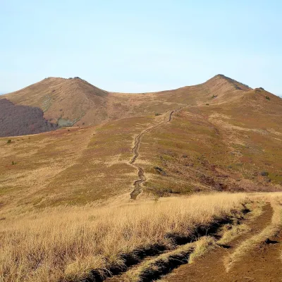 Mountain meadowPołonina WetlińskaBrzegi Górnealtitude 1 228 m11 km from the centrePołonina Wetlińska is a mountain massif and alpine meadow in the Polish part of the Western Bieszczady and one of the most visited places in these mountains.
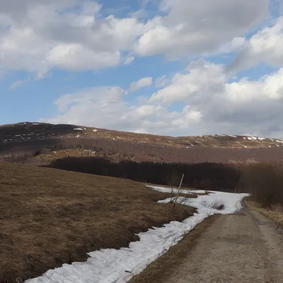 Mountain meadowPołonina CaryńskaBrzegi Górnealtitude 1 297 m15 km from the centrePołonina Caryńska (also called Berehowska) is a mountain massif and alpine meadow in the Western Bieszczady, between the valleys of the Prowcza and the Wołosaty, where...
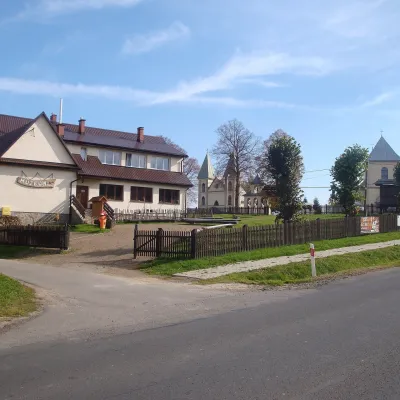 MuseumBoyko Museum in MyczkówMyczków18 km from the centreThe Municipal Museum of the Spiritual and Material Culture of the Boykos (Gminne Muzeum Kultury Duchowej i Materialnej Bojków) is in the village of Myczków on the San...
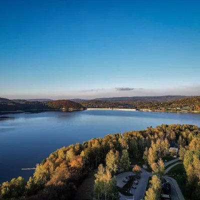 LakeLake Solina and the Solina DamSolina19 km from the centreLake Solina (Jezioro Solińskie) is Poland's largest reservoir by volume and the main summer resort of the Bieszczady.
Craft nearby
All craft places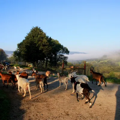 Cheese dairies & pasturesBieszczadzka Koza Goat Cheese Farm, SmolnikSmolnik18 km from the centreBieszczadzka Koza ("the Bieszczady Goat") is a family goat farm and artisan cheese dairy in the village of Smolnik on the San, in the eastern Polish Bieszczady, right...
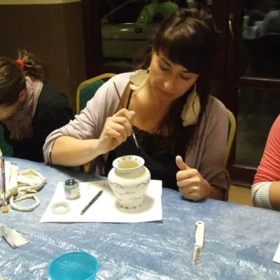 Crafts & workshopsGaleria Barak, Czarna: Bieszczady ceramics and workshopsCzarna Górna20 km from the centreGaleria Barak in the village of Czarna near Ustrzyki Dolne is the first private art gallery in the Bieszczady, and its story deserves telling.
 Craft producersBieszczadzkie Smaki, Smolnik: bread, liqueurs, preservesSmolnik24 km from the centreBieszczadzkie Smaki (“Bieszczady Flavours”) is a family producer of natural foods in the village of Smolnik on the Osława river, Komańcza municipality, on the western...
Huts, shelters and springs nearby

Getting there from Ukraine
Border crossings
- Krakovets – Korczowa — road, 24/7
- Shehyni – Medyka — road, 24/7 Pedestrian crossing is not confirmed by the Ukrainian border service — check dpsu.gov.ua before the trip.
- Smilnytsia – Krościenko — road, 24/7
- Hrushiv – Budomierz — road, 24/7
- Mostyska – Przemyśl (rail) — rail, 24/7
By car
Lviv – Sanok ≈168 km, ≈3 h 20 min without queues: road to Shehyni → Shehyni – Medyka checkpoint → Przemyśl → DK28 via Bircza to Sanok (≈83 km, ≈1 h 45 min from the border). Alternative via Krakovets – Korczowa: A4 to the Radymno exit, DK77 to Przemyśl and DK28 (≈185 km from Lviv, ≈3 h 25 min). For the Bieszczady proper, Smilnytsia – Krościenko is handier: Lviv – Sambir – Staryi Sambir – border, then DK84 via Ustrzyki Dolne to Sanok (≈203 km, ≈5 h; ≈57 km from the border). From Krościenko to Ustrzyki Górne by DW896 ≈53 km (≈1 h 40 min; ≈200 km and ≈4 h 50 min from Lviv), to Wetlina by DW896 and DW897 ≈69 km (≈216 km and ≈5 h from Lviv). From Sanok: Ustrzyki Górne ≈82 km (DK84 via Lesko, then DW896, ≈1 h 35 min), Wetlina ≈72 km (DK84 to Lesko, DW894 via Baligród and Cisna, DW897, ≈1 h 20 min).
Checked 23.10.2026; border crossing hours and timetables change — check before you travel.
