Duruitoarea Waterfall (Cascada Duruitoarea)
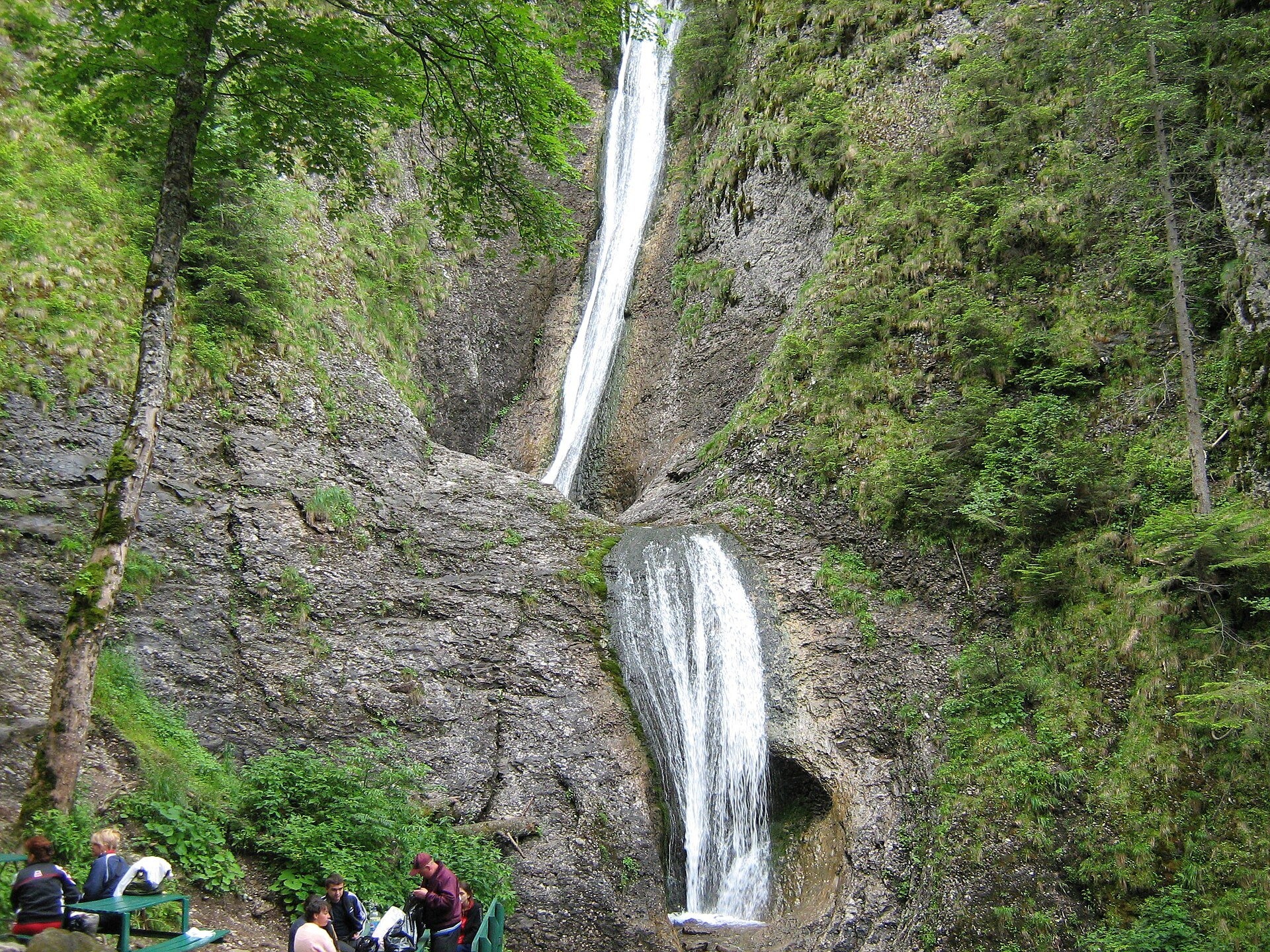
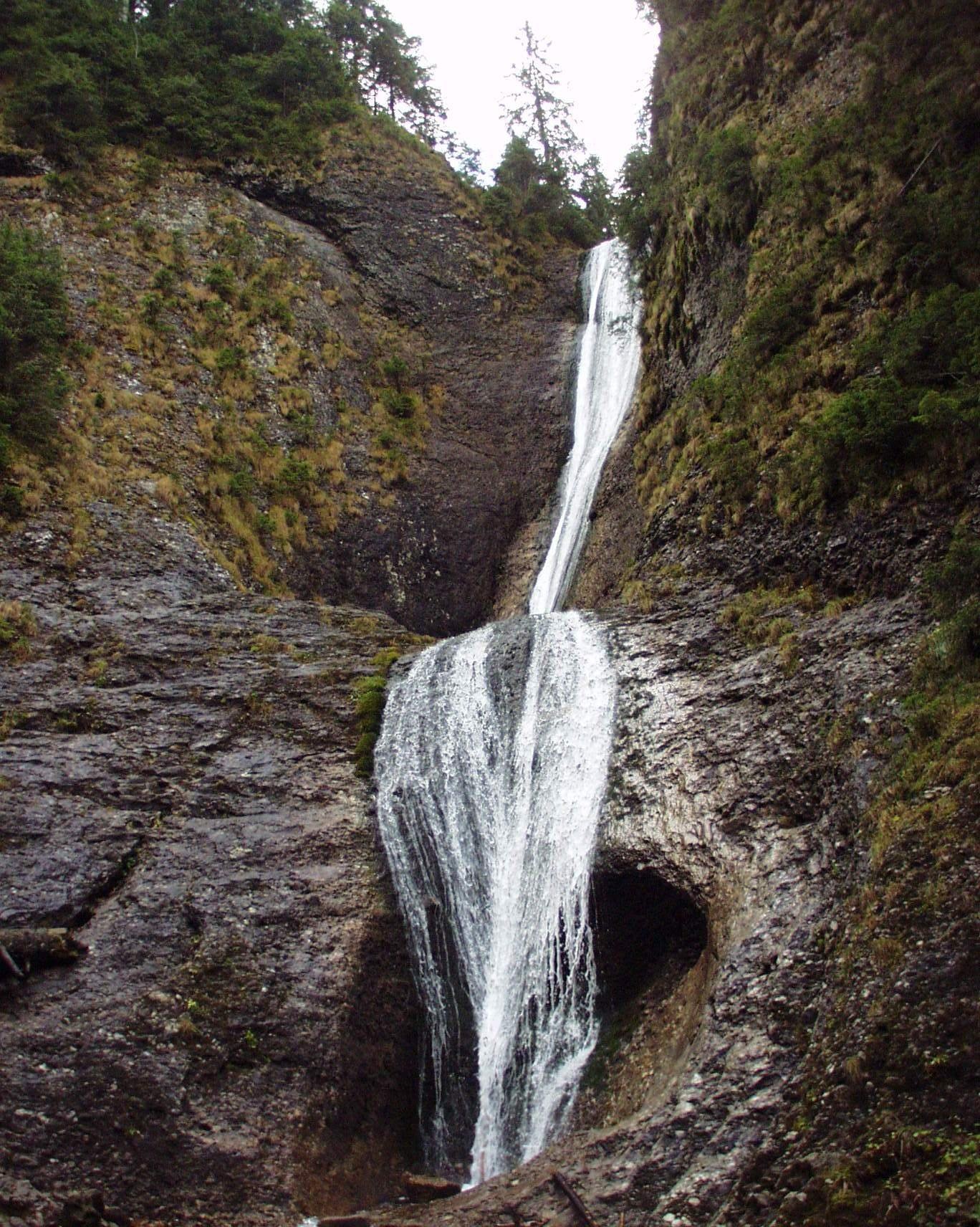
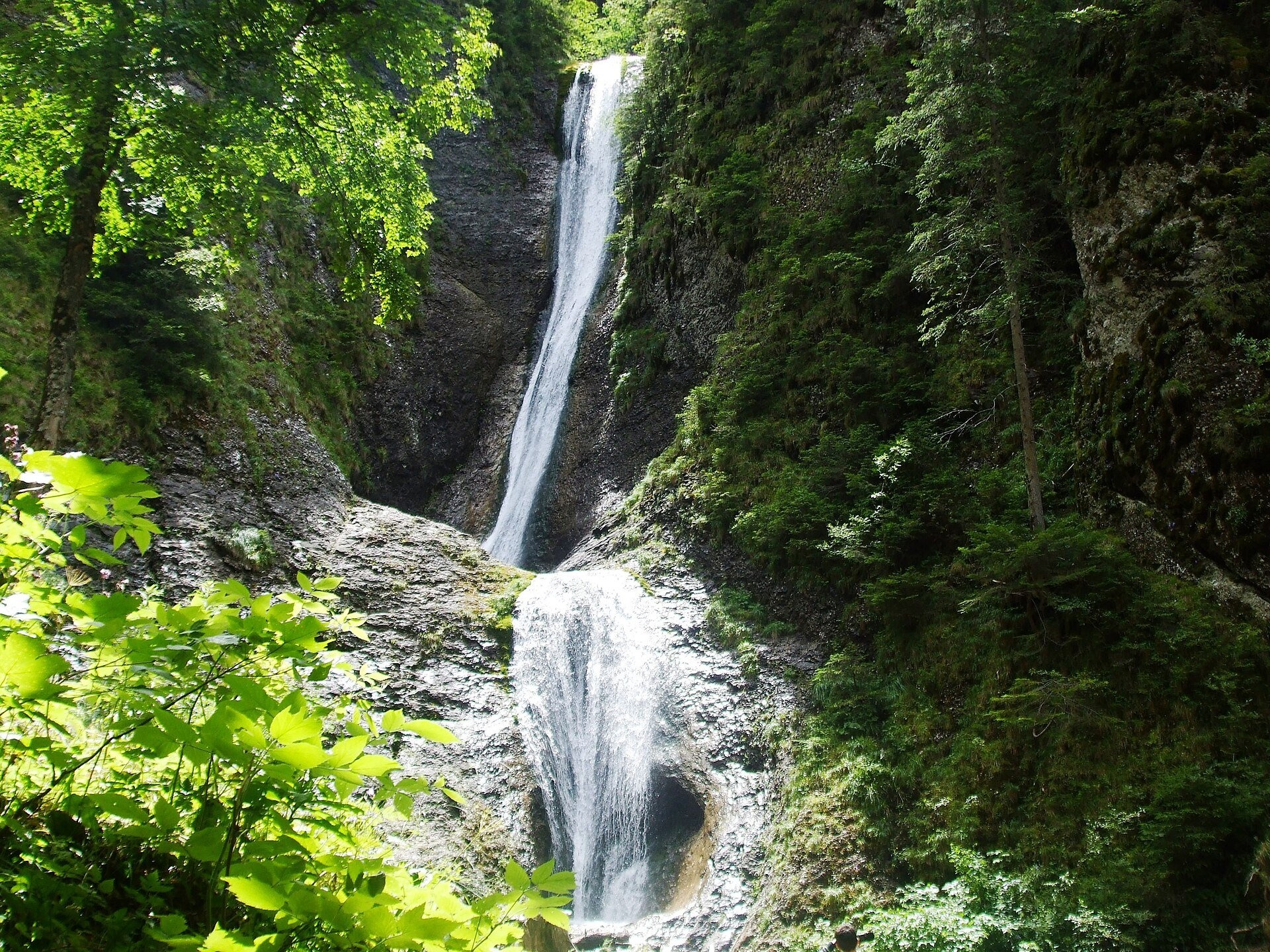
Duruitoarea Waterfall (Cascada Duruitoarea) is a natural monument of national importance in the Ceahlău massif, Neamț County. It lies at 1,250 m in the valley of the Rupturii stream (Pârâul Rupturii), between the cliffs that descend from Piatra Ciobanului in the east and Piciorul Șchiop in the west. The protected area covers 1 ha.
The water falls almost 25 m in two parts: the upper step is about 20 m, the lower about 5 m, where the stream fans out over the rock. The waterfall owes its name to the loud, continuous rumble it makes at high water.
What to see
The surrounding walls are conglomerate and sandstone; frost weathering and avalanches have split off columns and towers and deepened the gullies. At the foot of the upper step the water has scoured potholes in the rock.
The only permanent source is the Fântâna Rece spring below the alpine plateau; according to the Romanian Wikipedia its flow has been lower since the water intake for the Dochia hut was built. Other springs dry up from time to time, so there may be little water at the end of a dry summer. A rest area with tables and benches is set up near the falls.
How to get there
Three marked routes lead from the Durău resort to the waterfall, each about 2 hours on foot (Romanian Wikipedia):
Red cross: Durău – Poiana Viezuri (45 min – 1 h) – waterfall (1 h 30 min – 2 h), medium difficulty. Yellow triangle: from the Fântânele hut via Poiana Viezuri, about 2 h, the easiest option. Blue cross: Durău – Rupturii stream (1 h – 1 h 15 min) – waterfall (2 h), medium difficulty. The height difference from the resort is about 470 m.
From the waterfall the shared red-cross and blue-cross path climbs to the Dochia hut (1,770 m) in 2.5–3 hours; this is a difficult section.
Season and safety
The climb from the waterfall to the Dochia hut is closed in winter (Romanian Wikipedia; Munții Noștri calls it "not recommended"), and the paths from the resort are passable depending on the amount and state of the snow. Ask the Ceahlău National Park administration in Durău about trail conditions, rules and any visiting fee before you set out.
Bears live in the Romanian Carpathians: stay on the marked path, talk as you walk and leave no food or litter; near sheepfolds do not run from the shepherd dogs — stop and calmly walk around the flock. Mountain rescue (Salvamont): national dispatch 0SALVAMONT — 0725 826 668 or 112; the service's advice for hikers is at salvamontromania.ro.
Photos: Genudoc at Romanian Wikipedia, Public domain, Wikimedia Commons; Rusnac Valeriu at Romanian Wikipedia, Public domain, Wikimedia Commons; mihai moise, CC BY 3.0, Wikimedia Commons.
Getting there from Ukraine
Border crossings
- Porubne – Siret — road and pedestrian, 24/7
- Diakivtsi – Racovăț — road and pedestrian, 24/7 No freight traffic.
- Krasnoilsk – Vicovu de Sus — road and pedestrian, 08:00–20:00 Cars up to 3.5 t and pedestrians only; not 24/7.
- Solotvyno – Sighetu Marmației — road and pedestrian, 24/7 Passenger traffic only: vehicles up to 3.5 t with up to 9 seats, pedestrians.
- Diakove – Halmeu — road, 24/7 No pedestrian crossing.
By car
Chernivtsi – Durău ≈204 km, ≈3 h 54 min (via Diakivtsi – Racovăț); Ivano-Frankivsk – Durău ≈342 km, ≈6 h 11 min (via Diakivtsi – Racovăț); Rakhiv – Durău ≈313 km, ≈6 h 18 min (via Solotvyno – Sighetu Marmației). Times without border queues, our road routing (GraphHopper, OSM).
Checked 03.11.2026; border crossing hours and timetables change — check before you travel.
Comments
Travellers’ experience: reports, tips, questions.
No one has written here yet. Be the first — your experience helps others.
Location on the map
Wildlife nearby
All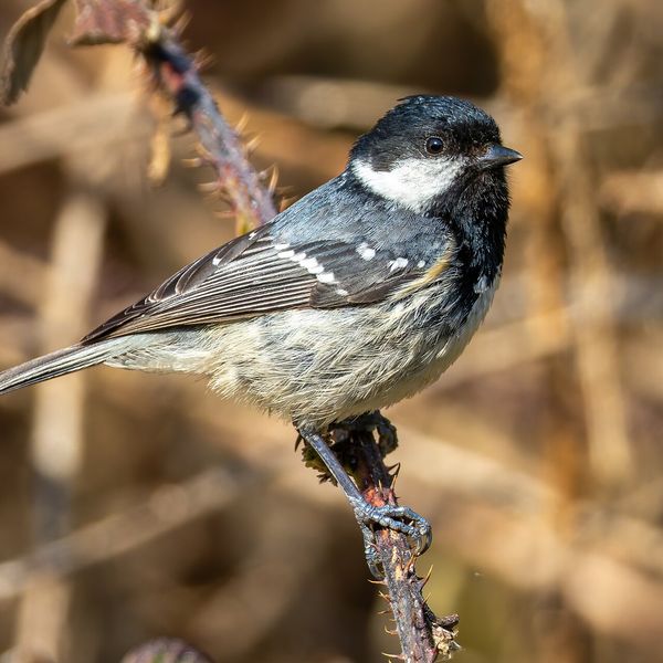
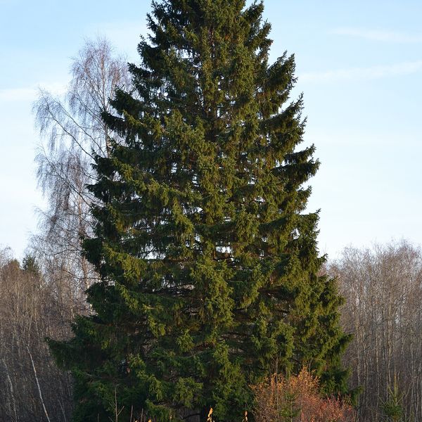
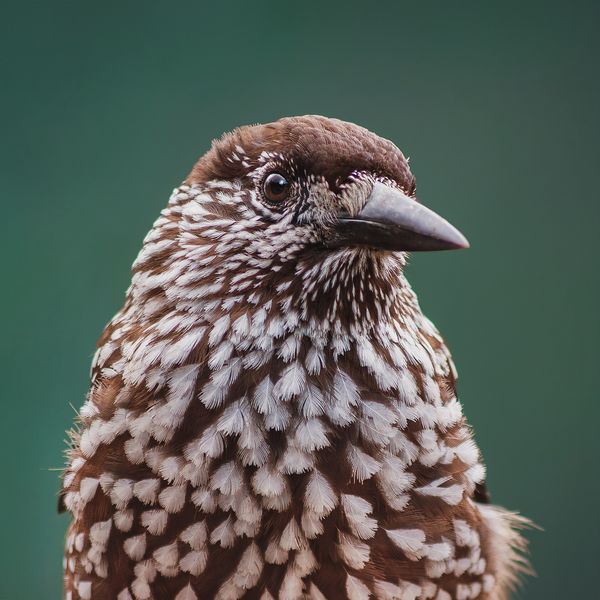
Based on naturalists’ records nearby (GBIF, iNaturalist), matched by altitude, habitat and season. Sightings are not guaranteed.
Trails nearby
All trails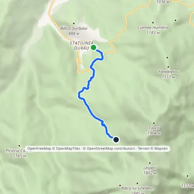 EasyOne-dayMarkedDurău Duruitoarea WaterfallElevation profile836–1 246 m4.1 kmascent 436 m≈ 2 h walkingunder 1 km from Duruitoarea Waterfall (Cascada Duruitoarea)
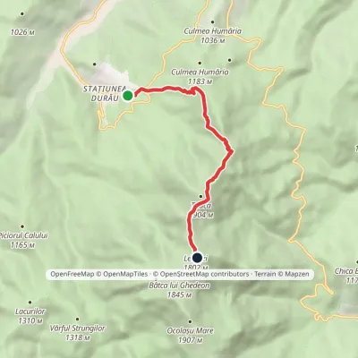 ModerateOne-dayMarkedDurău Dochia HutElevation profile862–1 803 m6.8 kmascent 992 m≈ 3.5 h walkingunder 1 km from Duruitoarea Waterfall (Cascada Duruitoarea)
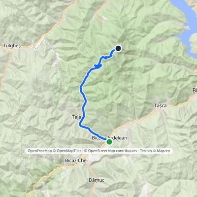 HardOne-dayMarkedBicazu Ardelean Dochia HutElevation profile570–1 793 m21 kmascent 1 224 m≈ 7.5 h walking1.1 km from Duruitoarea Waterfall (Cascada Duruitoarea)
Nearby attractions
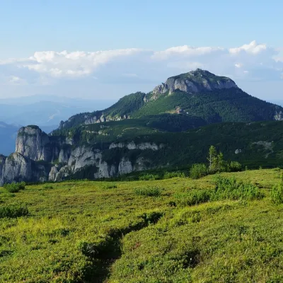 PeakToacaCeahlăualtitude 1 904 m1.2 km from Duruitoarea Waterfall (Cascada Duruitoarea)1 trail to the topToaca (Romanian: Vârful Toaca) is the second-highest summit of the Ceahlău Massif in the Eastern Carpathians, 1,904 m above sea level; it is only 3 m lower than...
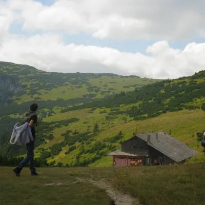 Mountain meadowCeahlău PlateauSecualtitude 1 765 m1.3 km from Duruitoarea Waterfall (Cascada Duruitoarea)The Ceahlău Plateau is the grassy summit plateau of the Ceahlău massif (Masivul Ceahlău) in Romania's Eastern Carpathians, in Neamț County.
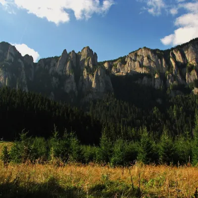 Mountain meadowPoiana MaicilorSecualtitude 1 303 m4 km from Duruitoarea Waterfall (Cascada Duruitoarea)Poiana Maicilor (literally "the nuns' meadow") is a mountain meadow at about 1,300 m on the south-eastern side of the Ceahlău massif, in Neamț County, Romania.
Craft nearby
All craft places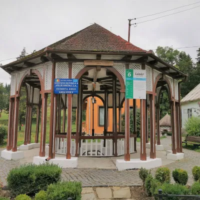 Water parks & thermal poolsBorsec spa: carbonated springs and the Fontana centreBorsec28 km from Duruitoarea Waterfall (Cascada Duruitoarea)Borsec is a small spa town in the north-east of Harghita County, lying at 850–950 m in a little basin where the Giurgeu, Bistrița and Călimani mountains meet (Eastern...
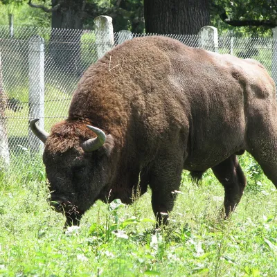 Wildlife parks & animal farmsBison Safari in Vânători-Neamț: a guided walk with a rangerMănăstirea Neamț37 km from Duruitoarea Waterfall (Cascada Duruitoarea)The first place in Romania where the bison came back Vânători-Neamț Natural Park lies on the eastern slopes of the Carpathians near the small town of Târgu Neamț, in a...
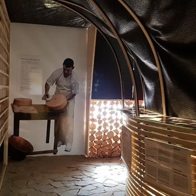 Cheese dairies & pasturesGheorgheni cheese workshop: aged cheeses of the Giurgeu basinGheorgheni37 km from Duruitoarea Waterfall (Cascada Duruitoarea)Gheorgheni (Hungarian: Gyergyószentmiklós) is the main town of the Giurgeu (Gyergyó) basin in the north of Harghita County, between the Harghita Mountains and the...
