Toaca
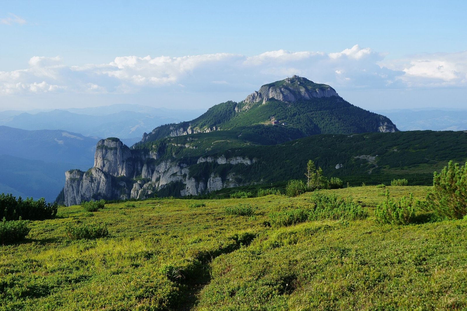
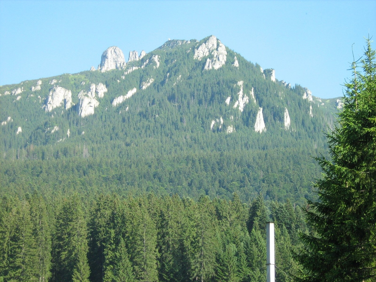
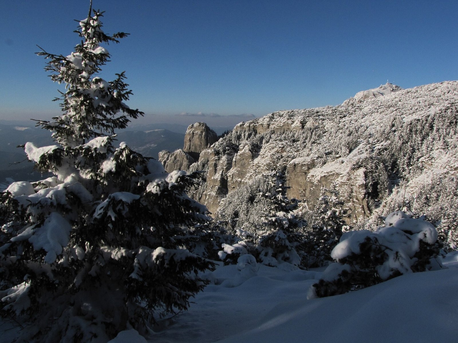
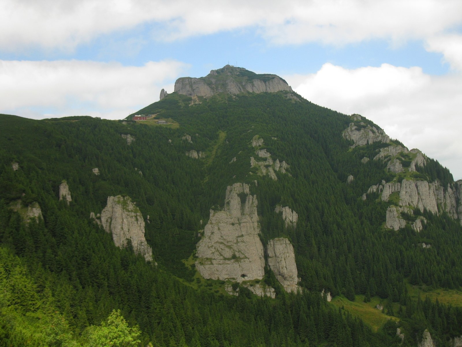
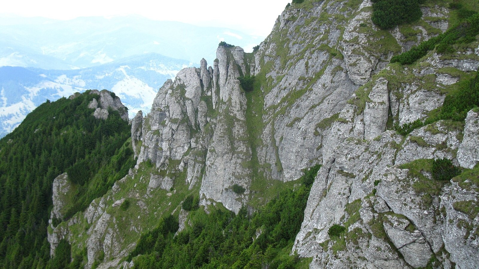
Toaca (Romanian: Vârful Toaca) is the second-highest summit of the Ceahlău Massif in the Eastern Carpathians, 1,904 m above sea level; it is only 3 m lower than Ocolașul Mare, which stands 2.8 km to the south. The peak lies in Neamț County on the northern edge of the high Ceahlău plateau; the nearest villages — Secu, Ceahlău and Pârâul Mare — are 6–8 km away. Although Toaca is not the highest, Romanian Wikipedia calls it the main attraction of the massif because of its regular pyramid shape, visible from far around.
A weather station of the same name operates on the summit, and a staircase leads to the top. According to the Ceahlău National Park, it was modernised in 2019: the stairs not only make the climb easier but also protect the vegetation of the slopes, which used to erode badly under the feet of many visitors.
How to get there / routes
The most popular way up is park route No. 4 with the red stripe (also used by the European path E8): Durău resort – Fântânele hut – Cușma Dorobanțului – Panaghia rock – weather station – Lespezi peak – Dochia hut. According to the park, the ascent takes 3–3.5 hours and the descent 2 hours 20 minutes; length 7.3 km, height difference 1,180 m, medium difficulty. The path was laid out as early as 1835 from the Durău skete and is one of the first tourist routes of the Ceahlău.
From the centre of Durău the road passes the park administration building, then the path enters mixed forest, crosses the DJ 155F county road and reaches the Fântânele meadow. From there you see Durău, the Bistrița Mountains with Măgura Grințieșului, and Toaca and the Panaghia rock. Via the La Morminte saddle the path climbs steeply to the open ridge and reaches the plateau below the summit, from where the stairs lead up to Toaca.
What you can see from the summit
From Toaca you see the Ceahlău plateau with its rocks — Panaghia, Piatra Ciobanului and others — and Ocolașul Mare to the south. To the west and north stretch the Bistrița and Stânișoara mountains, and to the east, beyond the Bistrița valley, the Izvorul Muntelui reservoir.
Nature and history
The slopes of the Toaca pyramid form a botanical reserve of about 24 ha. According to the park, 175 species of higher plants have been recorded on its ledges, rocks and gullies, over 35% of which need protection and are on the Red List of vascular plants of Romania. The flora has survived thanks to low human pressure, especially grazing, and is now «tended» by chamois that graze here without damaging the plant communities.
The mountain's name refers to the «toaca» — the wooden semantron struck in Romanian monasteries. According to a legend recorded by the park, after defeating the Dacians the Romans built a stone watch on the Ceahlău and placed a toaca on the highest rock: a legionary struck it to warn of danger. Another legend tells of the beautiful Panaghia, who climbed Toaca every day to gaze at the Sun and turned to stone at its foot — thus the Panaghia rock was born.
Safety, season and rules
According to the park, route 4 can also be walked in winter, but only after checking the weather forecast: on the open Ceahlău plateau fog and blizzards quickly lead you astray. In winter the summit staircase ices up — take care. The massif is protected by the Ceahlău National Park. Under the park rules, entry is allowed only after paying the visitor fee and only on marked trails; tents only in designated places (a bivouac is allowed in an emergency), dogs must be on a lead, fires are prohibited, and so is picking berries, mushrooms or medicinal plants without written permission from the administration. Access to the Ocolașul Mare and Polița cu Crini scientific reserves is possible only with the written consent of the park administration and, where required, with its escort. In winter the high ridges carry a serious avalanche risk — follow the avalanche bulletin of Romania's National Meteorological Administration (ANM) on meteoromania.ro.
Bears are common in the Romanian Carpathians. Salvamont rescuers advise not to hike alone, to talk loudly so that an animal hears you in advance, to keep your distance and never feed wildlife, and to store food in sealed containers away from your tent; if you meet a bear, do not run and back away slowly without turning your back.
Mountain rescue: Salvamont national dispatch 0SALVAMONT = 0725 826 668 and the emergency number 112.
Interesting facts
- The path from Durău to Toaca was laid out as early as 1835.
- More than a third of the plant species of the Toaca reserve are on Romania's Red List.
- The summit staircase was renewed in 2019 to protect the slopes from erosion.
Photos: xulescu_g, CC BY-SA 2.0; Genudoc at Romanian Wikipedia, Public domain; Just In AR, CC0; zaFleur, CC BY-SA 3.0; zaFleur, CC BY-SA 3.0 — Wikimedia Commons.
Getting there from Ukraine
Border crossings
- Porubne – Siret — road and pedestrian, 24/7
- Diakivtsi – Racovăț — road and pedestrian, 24/7 No freight traffic.
- Krasnoilsk – Vicovu de Sus — road and pedestrian, 08:00–20:00 Cars up to 3.5 t and pedestrians only; not 24/7.
- Solotvyno – Sighetu Marmației — road and pedestrian, 24/7 Passenger traffic only: vehicles up to 3.5 t with up to 9 seats, pedestrians.
- Diakove – Halmeu — road, 24/7 No pedestrian crossing.
By car
Chernivtsi – Durău ≈204 km, ≈3 h 54 min (via Diakivtsi – Racovăț); Ivano-Frankivsk – Durău ≈342 km, ≈6 h 11 min (via Diakivtsi – Racovăț); Rakhiv – Durău ≈313 km, ≈6 h 18 min (via Solotvyno – Sighetu Marmației). Times without border queues, our road routing (GraphHopper, OSM).
Checked 03.11.2026; border crossing hours and timetables change — check before you travel.
Location on the map
Water and shelter nearby
- Spring below Santinela1.1 km · Not verified · 1 214 m
- Spring below Coiful (north-west slope)1.2 km · Not verified · 1 241 m
- Spring below Stănca lui Cerbu1.3 km · Not verified · 1 751 m
- Drinking water below Stânca lui Dragomir1.3 km · Not verified · 1 184 m
- Hut below Stănca lui Cerbu1.3 km · Not verified · 1 721 m
- Dochia Hut1.4 km · Standing · 1 750 m
- Spring below Dracul, Mireasa și Gura Plânsă1.4 km · Not verified · 1 770 m
- Spring below Coiful (west slope)1.5 km · Not verified · 1 094 m
- Spring from the Shelf with Hazel1.6 km · Not verified · 1 614 m
- Spring below Piatra Lată din Ghedeon2.1 km · Not verified · 1 619 m
- Fântânele Hut2.4 km · Standing · 1 225 m
- Spring below La Pălărie2.9 km · Not verified · 1 504 m
Wildlife nearby
All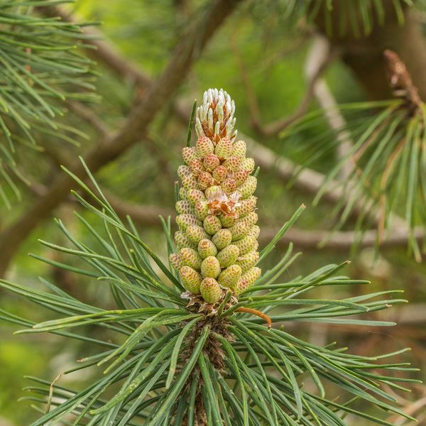
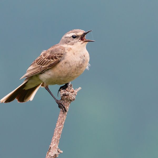
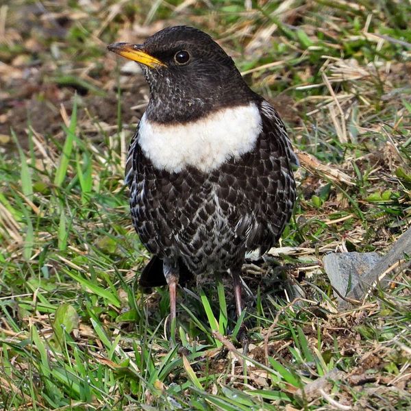
Based on naturalists’ records nearby (GBIF, iNaturalist), matched by altitude, habitat and season. Sightings are not guaranteed.
Comments
Nearby attractions
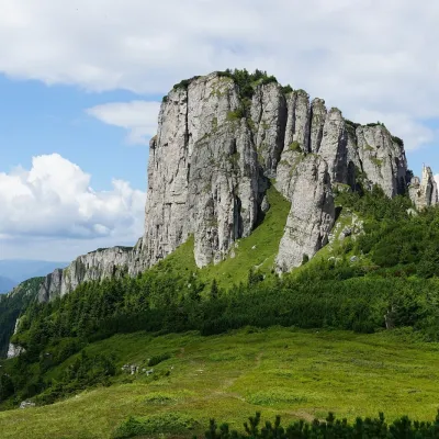 PeakOcolașul MareSecualtitude 1 907 m2.8 km from ToacaOcolașul Mare (Romanian: Vârful Ocolașul Mare) is the highest summit of the Ceahlău Massif in the Eastern Carpathians, 1,907 m above sea level.
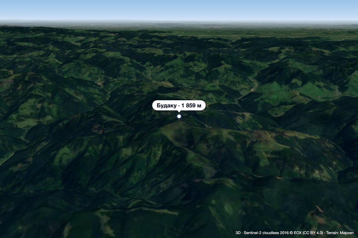 PeakBudacualtitude 1 859 m26 km from ToacaBudacu (Romanian Vârful Budacu, also Budacul; Hungarian Nagy-Budak) is the highest summit of the Bistrița Mountains in the Romanian Eastern Carpathians, at 1,859 m.
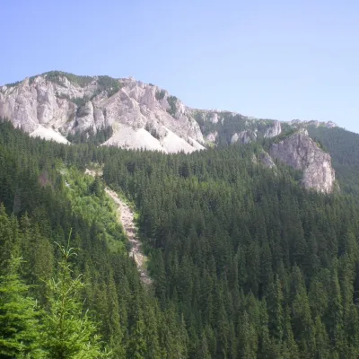 PeakHășmașul MareTrei Fântânialtitude 1 792 m32 km from ToacaHășmașul Mare (Romanian: Vârful Hășmașul Mare, also Hăghimașul Mare; Hungarian: Nagy-Hagymás, formerly Bárány-havas) is the highest summit of the Hășmaș Mountains in...
