Poiana Maicilor
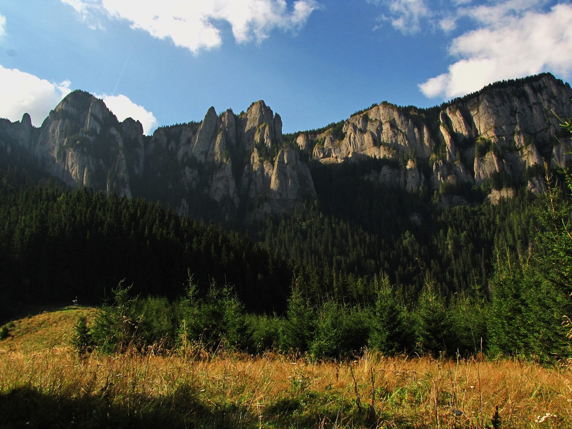
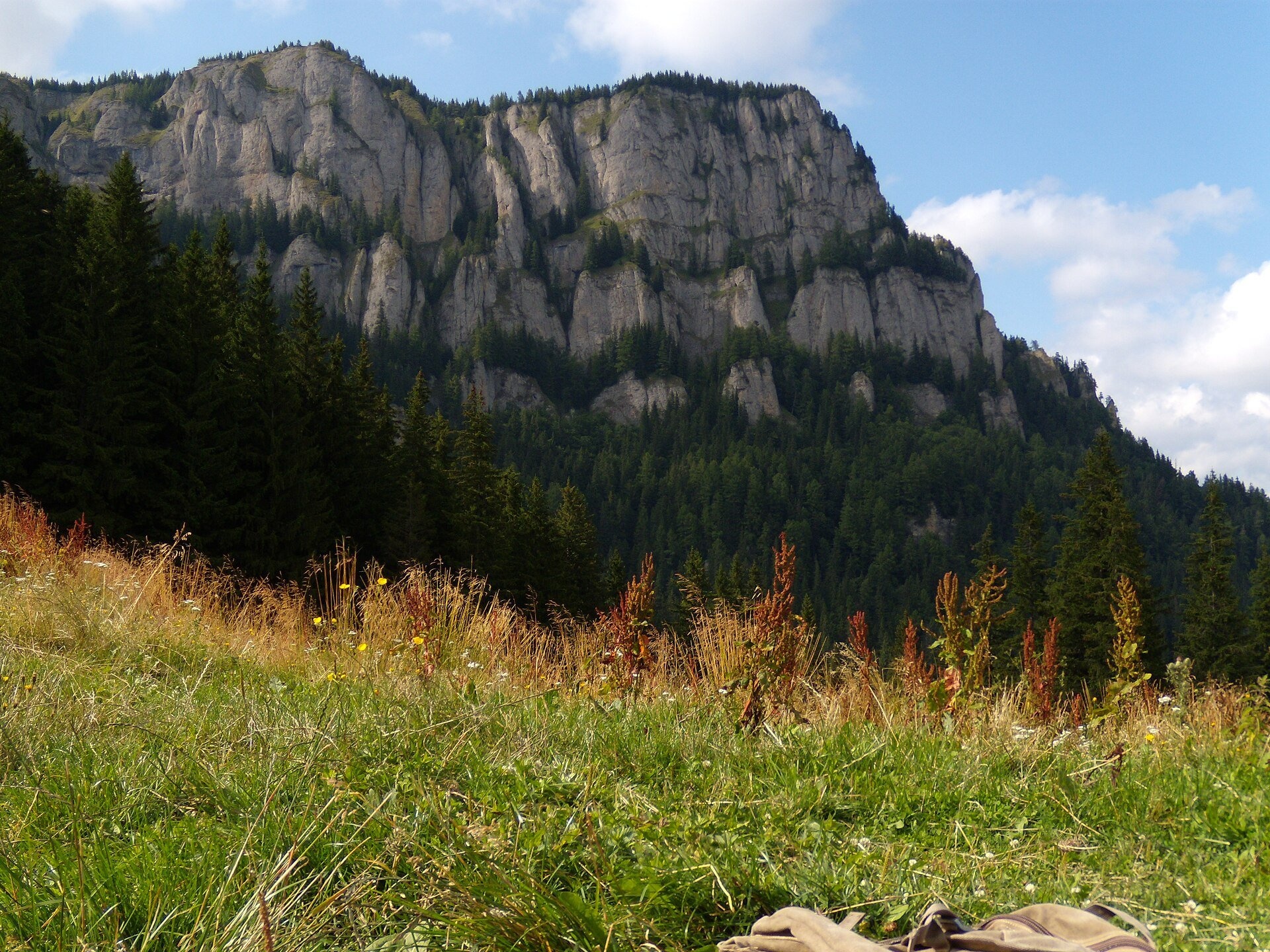
Poiana Maicilor (literally "the nuns' meadow") is a mountain meadow at about 1,300 m on the south-eastern side of the Ceahlău massif, in Neamț County, Romania. It lies below the rock wall that carries the Ocolașul Mic plateau, and the path from the Izvorul Muntelui hut to the summit Ceahlău Plateau crosses it.
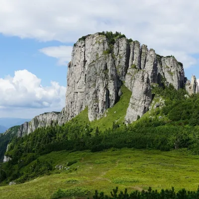
On the saddle beside the meadow stands an old stână — a sheepfold. The route description on the national park website advises stepping back to it for the view of the wall: grassy ledges with clumps of larch cross it, and it is crowned by towers and pinnacles with names of their own — Turnul lui Butu și Ana, Turnul Crucii, Căciula lui Ciupercă, Vânturișul, Vârful Ascuțit and Turnul Ocolașului Mic.
What to see and do
- The wall of Ocolașul Mic — best seen from the saddle by the old sheepfold.
- Clăile lui Miron — two conglomerate crags shaped like haystacks higher up the path; the larger one reaches 1,650 m.
- The Ocolașul Mic plateau and, beyond it, the Dochia hut on the summit plateau.
How to get there
National park route no. 3, marked with a red stripe, starts at the Izvorul Muntelui hut. The path passes the park visitor centre, follows the Maicilor stream, crosses it after about an hour and climbs more steeply through the forest; the meadow is about 4 km from the start, by a signpost. The whole route to the Dochia hut is 6.9 km with 1,220 m of ascent, 4.5–5 h up and 3 h down. From the village of Neagra route no. 6, marked with a blue cross, arrives here (14.6 km to Dochia, 6–7 h).
Season, rules and safety
The meadow lies in Ceahlău National Park: entry is subject to a fee and only on marked trails, fires are forbidden, dogs are kept on a leash and tents may be pitched only in designated places. In winter the park does not recommend going above Poiana Maicilor to the Dochia hut — the path there is steep. The best time is June to September. Check conditions and the fee on ceahlaupark.ro.
Bears live in the Romanian Carpathians: stay on the marked paths, never leave food by a tent or a car, and near flocks do not run from the sheepdogs — stop and walk calmly around the herd. Salvamont mountain rescue: national dispatch 0SALVAMONT — 0725 826 668 or 112; advice for hikers is on salvamontromania.ro.
Nearby
The Ceahlău Plateau with the Dochia hut, and the peaks Ocolașul Mare and Toaca.
Photos: Just In AR, CC0, Wikimedia Commons; anagh, CC BY-SA 3.0, Wikimedia Commons.
Getting there from Ukraine
Border crossings
- Porubne – Siret — road and pedestrian, 24/7
- Diakivtsi – Racovăț — road and pedestrian, 24/7 No freight traffic.
- Krasnoilsk – Vicovu de Sus — road and pedestrian, 08:00–20:00 Cars up to 3.5 t and pedestrians only; not 24/7.
- Solotvyno – Sighetu Marmației — road and pedestrian, 24/7 Passenger traffic only: vehicles up to 3.5 t with up to 9 seats, pedestrians.
- Diakove – Halmeu — road, 24/7 No pedestrian crossing.
By car
Chernivtsi – Durău ≈204 km, ≈3 h 54 min (via Diakivtsi – Racovăț); Ivano-Frankivsk – Durău ≈342 km, ≈6 h 11 min (via Diakivtsi – Racovăț); Rakhiv – Durău ≈313 km, ≈6 h 18 min (via Solotvyno – Sighetu Marmației). Times without border queues, our road routing (GraphHopper, OSM).
Checked 03.11.2026; border crossing hours and timetables change — check before you travel.
Comments
Travellers’ experience: reports, tips, questions.
No one has written here yet. Be the first — your experience helps others.
Location on the map
Water and shelter nearby
- Spring below Gardul lui Calistru (east slope)600 m · Not verified · 1 104 m
- Spring below Văratec (Nera)740 m · Not verified · 1 225 m
- Ocolașu Mic Hut1.1 km · Not verified · 1 694 m
- Spring below Gardul lui Calistru (west slope)1.1 km · Not verified · 1 705 m
- Spring below Piatra Lată din Ghedeon2.1 km · Not verified · 1 619 m
- Spring below Chica Baicului2.1 km · Not verified · 811 m
- Spring below La Pălărie2.7 km · Not verified · 1 504 m
- Spring below Dracul, Mireasa și Gura Plânsă2.7 km · Not verified · 1 770 m
- Dochia Hut2.7 km · Standing · 1 750 m
- Spring below Stănca lui Cerbu2.9 km · Not verified · 1 751 m
- Hut below Stănca lui Cerbu3 km · Not verified · 1 721 m
Wildlife nearby
All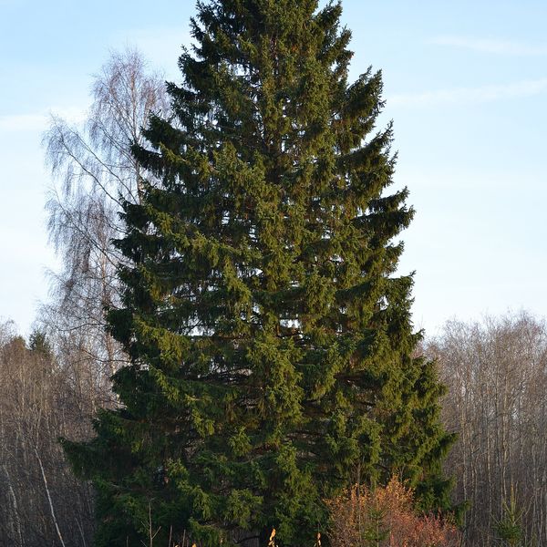
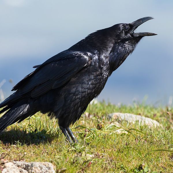
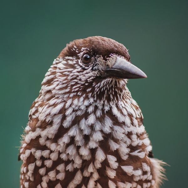
Based on naturalists’ records nearby (GBIF, iNaturalist), matched by altitude, habitat and season. Sightings are not guaranteed.
Trails nearby
All trails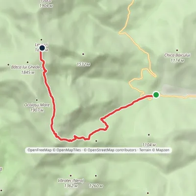 ModerateOne-dayMarkedIzvorul Muntelui Hut Dochia Hutvia Ocolașul Mic PlateauElevation profile803–1 767 m6.5 kmascent 1 034 m≈ 3.5 h walkingunder 1 km from Poiana Maicilor
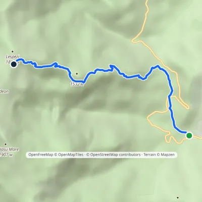 ModerateOne-dayMarkedIzvorul Muntelui Hut Dochia Hutvia Piatra cu ApăElevation profile803–1 767 m5.1 kmascent 963 m≈ 3 h walking2 km from Poiana Maicilor
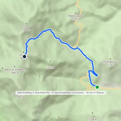 ModerateOne-dayMarkedIzvorul Muntelui Hut Dochia Hutvia Stânca DochieiElevation profile803–1 782 m6.2 kmascent 986 m≈ 3 h walking2 km from Poiana Maicilor
Nearby attractions
 PeakOcolașul MareSecualtitude 1 907 m1.7 km from Poiana MaicilorOcolașul Mare (Romanian: Vârful Ocolașul Mare) is the highest summit of the Ceahlău Massif in the Eastern Carpathians, 1,907 m above sea level.
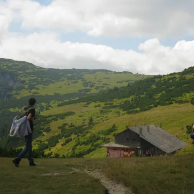 Mountain meadowCeahlău PlateauSecualtitude 1 765 m2.7 km from Poiana MaicilorThe Ceahlău Plateau is the grassy summit plateau of the Ceahlău massif (Masivul Ceahlău) in Romania's Eastern Carpathians, in Neamț County.
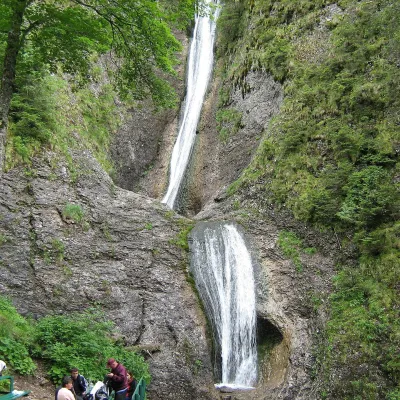 WaterfallDuruitoarea Waterfall (Cascada Duruitoarea)Ceahlău · Ceahlău4 km from Poiana Maicilorheight 25 m2 cascades1 251 m above sea levelDuruitoarea Waterfall (Cascada Duruitoarea) is a natural monument of national importance in the Ceahlău massif, Neamț County.
Craft nearby
All craft places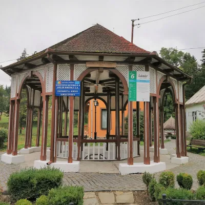 Water parks & thermal poolsBorsec spa: carbonated springs and the Fontana centreBorsec31 km from Poiana MaicilorBorsec is a small spa town in the north-east of Harghita County, lying at 850–950 m in a little basin where the Giurgeu, Bistrița and Călimani mountains meet (Eastern...
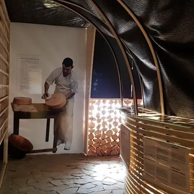 Cheese dairies & pasturesGheorgheni cheese workshop: aged cheeses of the Giurgeu basinGheorgheni36 km from Poiana MaicilorGheorgheni (Hungarian: Gyergyószentmiklós) is the main town of the Giurgeu (Gyergyó) basin in the north of Harghita County, between the Harghita Mountains and the...
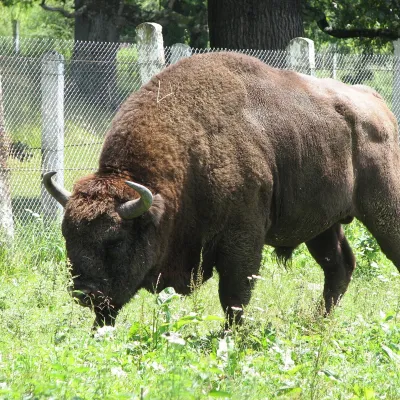 Wildlife parks & animal farmsBison Safari in Vânători-Neamț: a guided walk with a rangerMănăstirea Neamț38 km from Poiana MaicilorThe first place in Romania where the bison came back Vânători-Neamț Natural Park lies on the eastern slopes of the Carpathians near the small town of Târgu Neamț, in a...
