Cigeľ – Malá Lehota
Trail map
Route, springs and shelters: © OpenStreetMap contributors (ODbL) · elevation: Copernicus DEM © DLR e.V., © Airbus DS · Data & licences
About the trail
Route Cigeľ – Malá Lehota. Has yellow marking (regional route №8418, KST). Waymarking data: OpenStreetMap (© OpenStreetMap contributors, ODbL).
Officially marked regional tourist route No. 8418. The marking is yellow, the sign is a horizontal stripe on a white background. Marked and maintained by: KST. Length of the route — 6.7 km. Location: mountain range — Strazovske Mountains, Slovakia.
At a glance
A short route of 6.7 km with 243 m of ascent from Cigeľ to Malá Lehota. Estimated walking time: about 2 h, not counting stops. Difficulty: easy. Waymarking: yellow.
Route stages
- 0–3 kmClimb of 220 m (up to 696 m)
- 3–6.5 kmDescent of 290 m to Malá Lehota
Steepest kilometre: km 3.5–4.5, a descent of 120 m (≈12%).
Water and overnight stays
A spring near the trail: at km 1.5.
When to go
The route can be walked most of the year; it is most comfortable from April to October.
Getting there
Start: Cigeľ. This is a one-way route: the finish is 3 km from the start in a straight line, so plan your way back in advance.
FAQ
- How long does the route take?
- Estimated walking time: about 2 h, not counting stops.
- Is there water on the route?
- A spring near the trail: at km 1.5.
Water and shelter on the route
- Spring below Jančekova skalakm 1.6 from the start · Not verified · 597 m
Comments
Trails nearby
All trails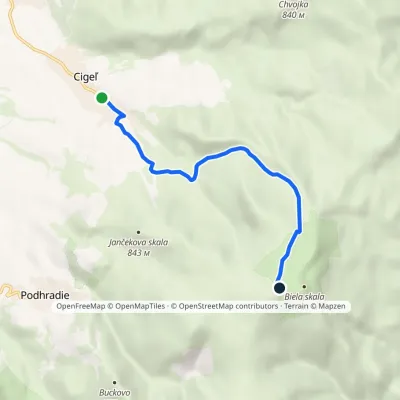
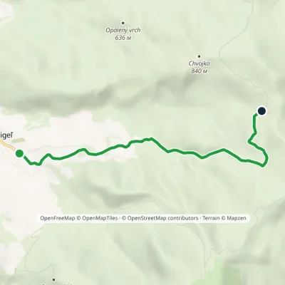
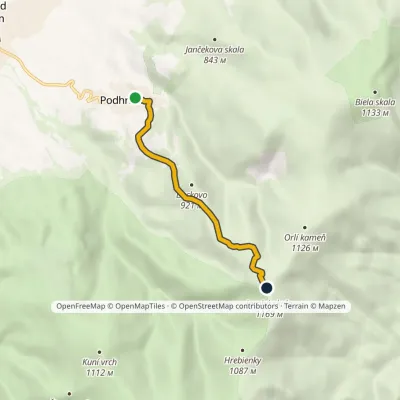
Craft nearby
All craft places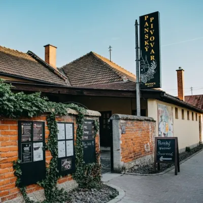 Craft beer & breweriesPanský pivovar Bojnice: unfiltered craft beer below the castleBojnice8.7 km from the trailBojnice is a spa town in the upper Nitra valley at the foot of the Strážov Hills, famous for the fairy-tale castle of the Pálffy family.
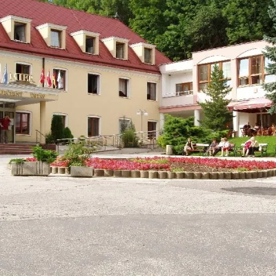 Water parks & thermal poolsBojnice Spa: thermal springs, pools and treatmentsBojnice8.7 km from the trailBojnice Spa (Kúpele Bojnice) lies on the edge of the town of Bojnice, about 3 km from Prievidza, in the Upper Nitra basin – at the eastern foot of the Malá Magura...
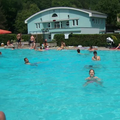 Water parks & thermal poolsChalmová Thermal Pool near PrievidzaBystričany12 km from the trailChalmová Thermal Pool (Termálne kúpalisko Chalmová) is a public pool complex in the village of Chalmová, part of the municipality of Bystričany, about 14 km south of...
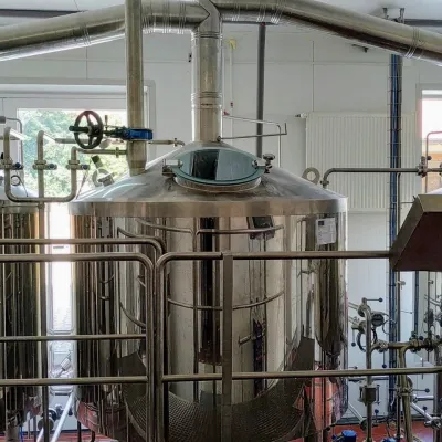 Craft beer & breweriesGalgenberg brewery in Nitrianske Pravno: tour and beer from the tankNitrianske Pravno18 km from the trailNitrianske Pravno is a large village at the northern end of the Upper Nitra basin, 12 km from Prievidza, where the river Nitra leaves the Malá Magura and Žiar hills.
 Craft producersKremnica gingerbread: the Haurík family bakery since 1922Kremnica20 km from the trailKremnica is an old mining town in the Kremnica Mountains where coins have been struck for more than six centuries.
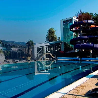 Water parks & thermal poolsSpa & Aquapark Turčianske TepliceTurčianske Teplice23 km from the trailTurčianske Teplice is one of Slovakia’s oldest spa towns. Its warm springs were first mentioned in 1281 in a deed of gift by King Ladislaus IV, and from 1533 they...
