Čerín – Veľká Zolná
Trail map
Route, springs and shelters: © OpenStreetMap contributors (ODbL) · elevation: Copernicus DEM © DLR e.V., © Airbus DS · Data & licences
About the trail
Route Čerín – Veľká Zolná. Has green marking (local route №5696M, KST). Waymarking data: OpenStreetMap (© OpenStreetMap contributors, ODbL).
Officially marked local tourist route No. 5696M. The marking is green, with a triangle in the corner on a white background. Marked and maintained by: KST. Route length — 16 km. Location: mountain range — Stredoslovenske hory, Slovakia.
At a glance
A one-day route of 16 km with 601 m of ascent from Čerín to Veľká Zolná. Estimated walking time: about 5 h, not counting stops. Difficulty: moderate. Waymarking: green.
Route stages
- 0–2 kmClimb of 160 m to Hut below Klimentov vrch
- 2–4 kmGentle ups and downs at 550–600 m
- 4–5 kmClimb of 140 m (up to 727 m)
- 5–9 kmDescent of 220 m (down to 511 m)
- 9–12 kmClimb of 160 m (up to 671 m)
- 12–16 kmGentle ups and downs at 620–700 m
Steepest kilometre: km 4–5, a climb of 160 m (≈16%).
Water and overnight stays
Springs near the trail: at km 10, 14 and 15. There are no springs between km 0 and 10 — carry at least 2 l of water.
Huts and shelters near the trail: Hut below Klimentov vrch (km 2).
When to go
The route can be walked most of the year; it is most comfortable from April to October.
Getting there
Start: Čerín. This is a one-way route: the finish is 9 km from the start in a straight line, so plan your way back in advance.
FAQ
- How long does the route take?
- Estimated walking time: about 5 h, not counting stops.
- Is there water on the route?
- Springs near the trail: at km 10, 14 and 15. There are no springs between km 0 and 10 — carry at least 2 l of water.
- Where can I stay overnight?
- Huts and shelters near the trail: Hut below Klimentov vrch (km 2).
Water and shelter on the route
- Hut below Klimentov vrchkm 2.3 from the start · Not verified · 569 m
- Repiská Springkm 10.3 from the start · 200 m off the path · Not verified · 602 m
- Spring below Rígeľ (west slope)km 13.7 from the start · Not verified · 706 m
- Spring below Rígeľ (north-west slope)km 14.5 from the start · Not verified · 671 m
- Spring below Rígeľ (north slope)km 15.4 from the start · Not verified · 653 m
Comments
Trails nearby
All trails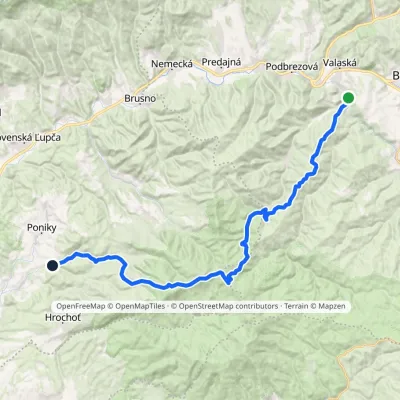 HardMulti-dayMarkedPonická Huta HronecElevation profile484–1 245 m35.7 kmascent 1 143 m≈ 11 h walking
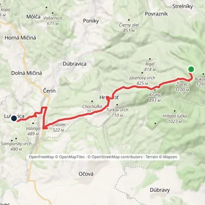 ModerateTwo-dayMarkedLukavica Pod HoralkouElevation profile337–1 181 m21.4 kmascent 165 m≈ 5.5 h walking
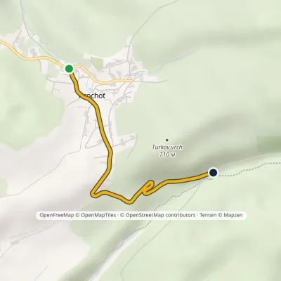 EasyOne-dayMarkedHrochoť Hrochoťský mlynElevation profile529–649 m2.7 kmascent 40 m≈ 45 min walking
Craft nearby
All craft places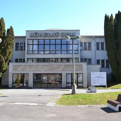 Water parks & thermal poolsSliač spa: warm carbonated water and a thermal swimming areaSliač8.4 km from the trailSliač is a spa in the Zvolen Basin above the Hron valley, between Zvolen and Banská Bystrica. The spa quarter with its 46-hectare park lies on a slope above the former...
 Craft beer & breweriesUrpiner brewery in Banská Bystrica: tour and beer from the tankBanská Bystrica10 km from the trailBanská Bystrica is the centre of Central Slovakia and grew rich on copper mining in the 14th–16th centuries.
 Craft shopsÚĽUV Banská Bystrica: folk-craft shop and craft schoolBanská Bystrica11 km from the trailÚĽUV (Ústredie ľudovej umeleckej výroby, the Centre for Folk Art Production) is a state institution that has looked after Slovak folk crafts since 1945: it keeps a...
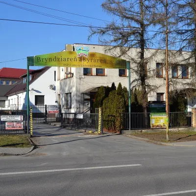 Cheese dairies & pasturesZvolenská Slatina bryndza dairy: the oldest, since 1797Zvolenská Slatina11 km from the trailBryndza with more than 220 years behind it Zvolenská Slatina is a large village in the Podpoľanie region, a few kilometres from Zvolen, at the foot of the volcanic...
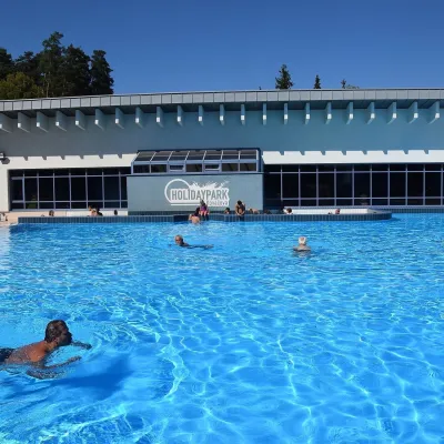 Water parks & thermal poolsKováčová: thermal spa and Holidaypark aquapark near ZvolenKováčová12 km from the trailKováčová is a spa village on the south-western edge of the Zvolen Basin, 4 km west of Zvolen at the foot of the Kremnica Mountains; the village centre lies at 303 m.
 Water parks & thermal poolsBrusno Spa: mineral springs, treatments and Caracalla SpaBrusno18 km from the trailBrusno Spa (Kúpele Brusno) lies in the Hron valley (Horehronie), about 20 km north-east of Banská Bystrica, on the northern slopes of the Vepor massif in the Slovak...
