Carpathians on Telegram: the Karpaty.Rocks channel, a pocket map and severe-weather alerts

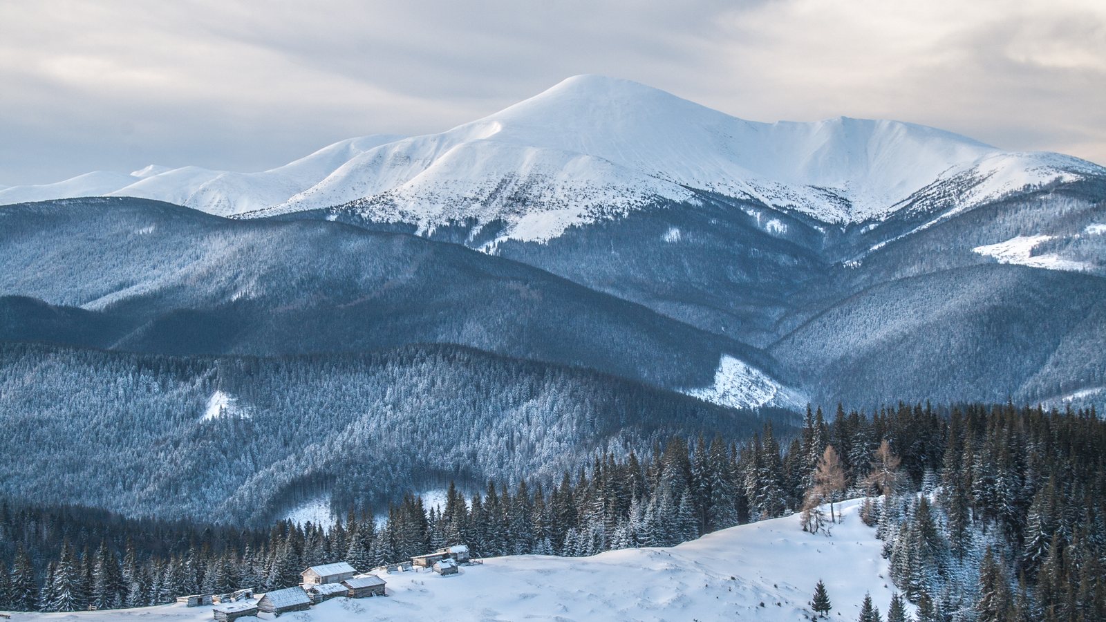
Before a hike most of us do the same things: check the forecast, look for a track, find a place to sleep and send it all to friends on Telegram. So we moved the essentials of Karpaty.rocks to where you already spend your time. There are now three Karpaty.Rocks tools on Telegram: a channel with trip ideas, a bot that warns about bad weather and sends GPX tracks, and a map app that opens right inside the messenger, with nothing to install.
Here is what each of them does, how to use them and how to prepare for a hike so that you still have a map on a ridge with no signal. Please note: the channel is in Ukrainian; the bot and the map can be switched to English.
The @karpatyrocks_official channel: one place a day
The Karpaty.Rocks channel is not a feed of site news. Every morning, and often in the evening too, it posts one place, summit or trail from our catalogue: a photo, a few sentences and facts from the site database such as elevation, trail length, elevation gain and approximate time.
- Weekend trail on Thursdays and Fridays, so there is time to plan Saturday;
- summits, waterfalls, lakes, mountain meadows and lesser-known places that tour buses do not go to;
- craft: cheese dairies, apiaries and workshops where you can buy local products;
- tips for hiking, such as how to estimate the time of an ascent;
- weather warnings, only when it is really dangerous in the mountains.
The selection follows the season: more meadows and waterfalls in autumn, ski resorts in winter. Most posts are about the Ukrainian Carpathians, with the occasional trail in the Tatras or the Bieszczady in Poland and Slovakia. Under every post there are two buttons: «Детальніше на сайті» (more on the website) and «Відкрити на карті» (open on the map), which shows the place in our app.
How to join: open t.me/karpatyrocks_official or search for «karpatyrocks_official» in Telegram and tap «Join».
A Carpathian map inside Telegram: how to open it and what it does
A Mini App is a small app that runs inside Telegram. You do not need the App Store or Google Play: the map opens in the messenger window in a few seconds. There are three ways to open it:
- in the chat with @karpatyrocks_official_bot, tap the «Карта» (Map) button next to the message field, or «Відкрити карту» (Open map) after /start;
- under any channel post, tap «Відкрити на карті»;
- follow the link t.me/karpatyrocks_official_bot/map. For example, this link opens Hoverla straight away, in English.
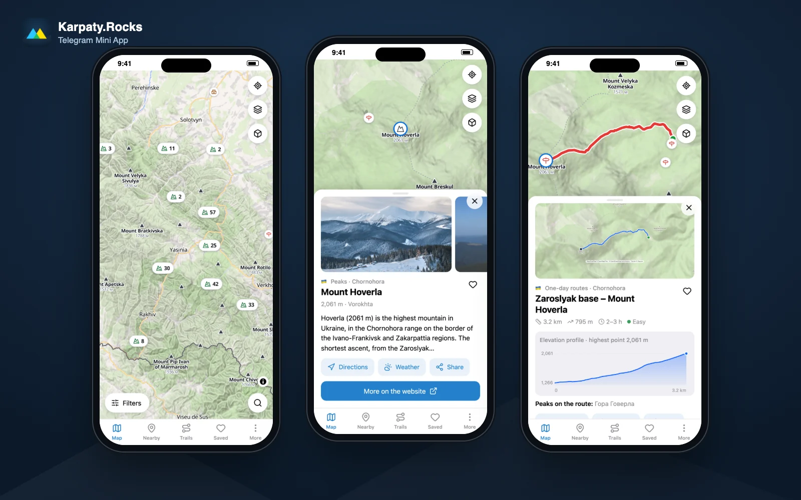
Map. The same map as on the website: shaded relief, a 3D mode and «map», «satellite» and «topo» layers, with summits and their elevations, trails, waterfalls, lakes, sights and places to stay. Filters keep only what you need: type of place, trail difficulty, country or mountain range. Tap a marker and a card slides up with a photo, a short description and the buttons «Directions» (opens Google Maps), «Weather» and «Share».
Trails. More than two thousand trails in the Ukrainian, Polish and Slovak Carpathians, filtered by length, elevation gain, difficulty, country and range, with a loop-only option. A trail card shows the line on the map and an elevation profile, so you can see at once where the steepest climb is. For example, the trail from the Zaroslyak base to Hoverla is 3.2 km one way with about 800 m of ascent.
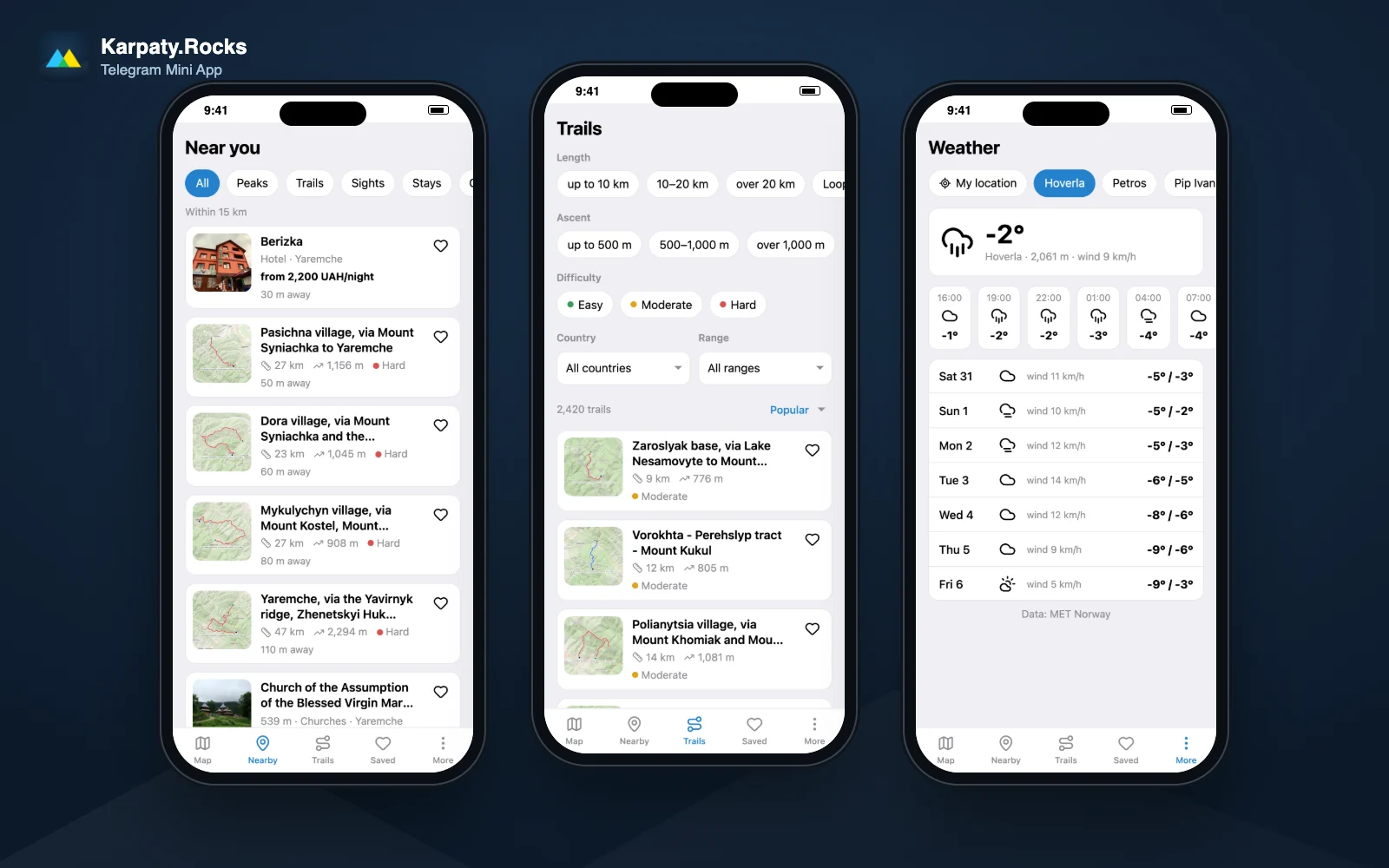
Nearby. Allow location access and the app lists summits, trails, sights and places to stay within 15 km, nearest first, just like the Nearby page on the website. Your location is requested only when you tap the button.
Saved. The heart on a card adds a place to your list. The list is linked to your Telegram account, so it is there on your other phone or tablet too.
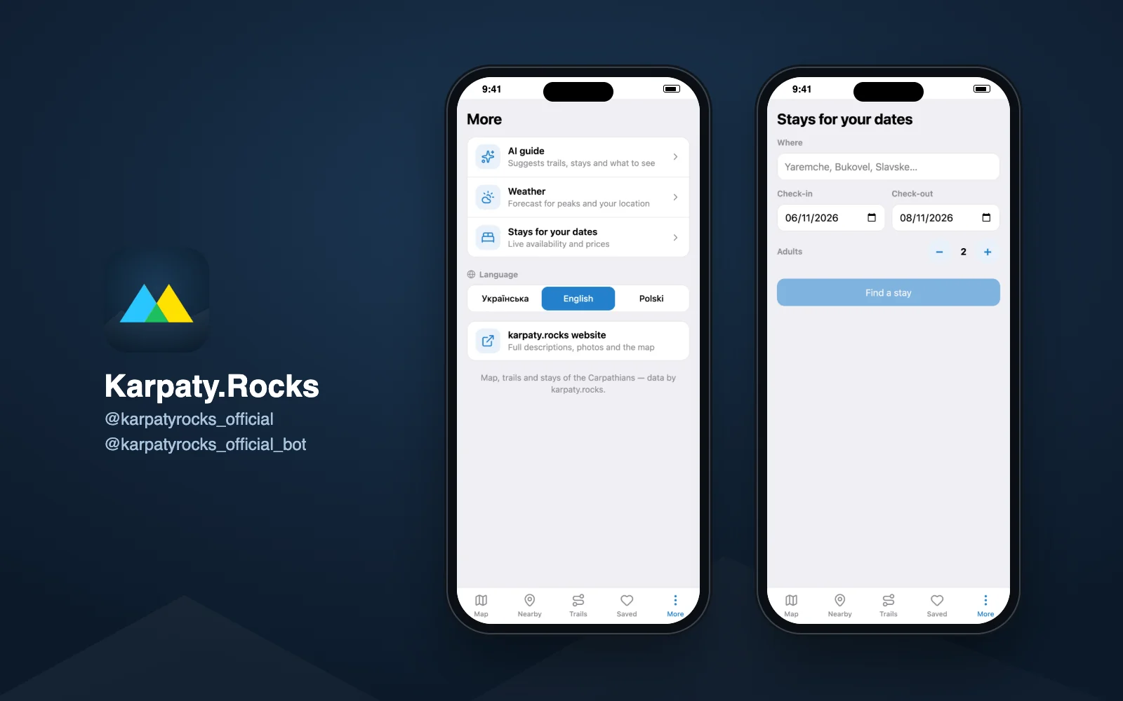
More: the AI guide, which you can ask in plain words («where to go with kids near Yaremche?»), a week-ahead weather forecast for summits and your location, and stays in Ukraine for your dates: enter a place, check-in and check-out dates and the number of guests, and the app shows what is available with prices, while «Book» opens the property page on the website. The app starts in Ukrainian; switch to English or Polish in «More → Language».
The bot: severe-weather alerts and tracks for offline navigation
Weather alerts for your summit
Send @karpatyrocks_official_bot the command /subscribe Hoverla (or the name of another summit, trail or village) and pick the right one from the list. Even easier: tap «Warn me about bad weather on Telegram» on a summit or trail page of the website, or use this link for Hoverla. The bot writes in Ukrainian by default; choose English with the language buttons after /start.
The bot does not flood you with messages. Every day at about 17:00 Kyiv time it checks tomorrow's forecast and writes only when the mountains are dangerous:
- wind of 60 km/h or more;
- thunderstorms;
- precipitation at around zero degrees, with a risk of ice;
- heavy snowfall (10 mm of precipitation or more).
On Fridays you get a short weekend forecast even if nothing is dangerous. Never more than one message a day. Unsubscribe with the «Unsubscribe» button under any alert or with /unsubscribe. The forecast comes from the Norwegian Meteorological Institute (MET Norway), recalculated for the real elevation of the summit, as on the Hoverla weather page and in Carpathian weather.
«Send to Telegram»: a GPX track in your chat
On every trail page of the website there is a «Send to Telegram» button next to «Download GPX» (under the map on a phone). The bot sends the GPX file, a short summary (distance, elevation gain, highest point and estimated time) and the buttons «Open on the map», «Weather» and «Page on the website». The file stays in your chat with the bot, so you will not have to dig through your downloads. Try it on the Zaroslyak – Hoverla trail.
How to open a GPX file in an offline navigation app:
- install a free app with offline maps in advance: OsmAnd, Organic Maps or Mapy.cz;
- download the map of the region in it while you have Wi-Fi or a stable connection;
- in Telegram, tap the GPX file, then «Share» or «Open in…» and choose the navigation app: the track appears on its map;
- in the mountains, use airplane mode but keep GPS on: positioning works without mobile signal and the battery lasts longer.
How to prepare for a hike with these tools
- A few days before: subscribe to alerts for your summit, and the bot will write if the weather turns bad.
- The day before: check the forecast for the summit, not for the nearest town: Hoverla is usually 7–9 °C colder and much windier than Vorokhta.
- At home: send yourself the GPX, download the offline map of the region and charge a power bank. On the ridges of Chornohora, Svydovets or the Gorgany there is often no mobile signal, and neither the Mini App nor the website works offline.
- Time: allow one hour for every 5 km plus one hour for every 600 m of ascent (Naismith's rule), which is how the bot and the app calculate it. Add time for breaks and for getting back before dark.
- Border zone: some trails near the borders with Romania and Poland are currently closed or require a permit. Check your route in our article on the State Border Guard Service permit (in Ukrainian).
- Rescue: in Ukraine call 101 or 112; in Poland 985 or +48 601 100 300 (GOPR and TOPR); in Slovakia 18 300 (Mountain Rescue Service). Contacts of the mountain rescue units in the Carpathians are on a separate page. Before you set off, tell someone where you are going and when you plan to be back.
Planning a trip of several days? Collect places in the trip planner on the website: it calculates driving and walking times between stops, and Telegram is a handy way to take the GPX and the forecast with you on the road.
Frequently asked questions
Are the channel, the bot and the Telegram map free?
Yes. The channel, the bot, weather alerts, GPX tracks and the Mini App are free. You pay only for accommodation if you book it.
Do I need to install a separate app?
No. The Karpaty.Rocks map is a Telegram Mini App: it opens inside Telegram from the link t.me/karpatyrocks_official_bot/map or with the «Карта» (Map) button in the bot.
Does the map work in the mountains without internet?
No, the Mini App and the website need an internet connection. For areas without signal, send yourself the GPX track via the bot and download the offline map of the region in OsmAnd, Organic Maps or Mapy.cz in advance.
How often does the bot send weather alerts?
At most once a day: a weekend forecast on Fridays and, on other days, only if wind of 60 km/h or more, a thunderstorm, ice or heavy snowfall is expected on your summit tomorrow.
What language are the channel and the bot in?
The channel is in Ukrainian. The bot and the map are in Ukrainian by default, but you can switch them to English or Polish.
Questions or ideas about the channel, the bot or the app? Write to @karpatyrocks_official_bot or use our contacts page. Updated: 30 October 2026.
Comments
Places from the article

Where to stay nearby
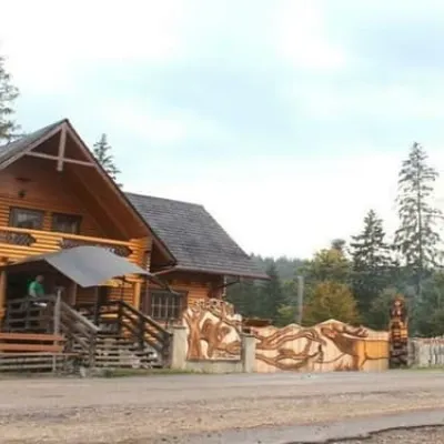 HotelBiia HoverlyVorokhtaBBQParkingWi‑Fifrom 1 320 UAH per night
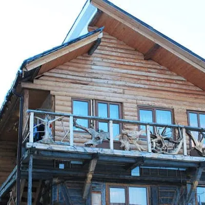 HotelU KumaLazeshchynaBBQParkingWi‑Fifrom 990 UAH per night
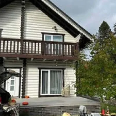 HotelChalet GaliciaVorokhtaBBQParkingWi‑Fifrom 8 500 UAH per night
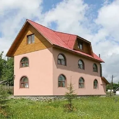 CottageMiroslavaLazeshchynaSaunaBBQParkingfrom 4 280 UAH per night
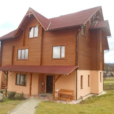 HotelMyslyvska VezhaLazeshchynaSaunaBBQParkingfrom 1 400 UAH per night
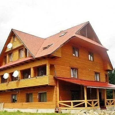 HotelPid HoverloiuVorokhtaHot tubPoolBBQfrom 1 540 UAH per night
Trails nearby
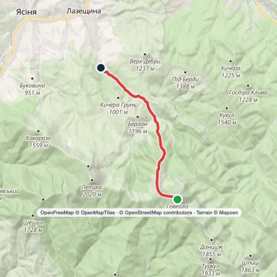 EasyOne-dayMarkedMount Hoverla KozmeshchykElevation profile749–2 061 m12.3 kmascent 14 m≈ 3 h walking
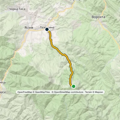 ModerateTwo-dayMarkedLazeshchyna Mount HoverlaElevation profile717–1 848 m16.5 kmascent 15 m≈ 4 h walking
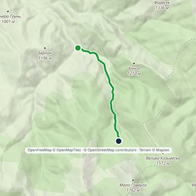 EasyOne-dayMarkedKozmeshchyk Gropa polonynaElevation profile869–1 262 m4.3 kmascent 393 m≈ 2 h walking
You may also be interested in
All articles Carpathian Guide: what our AI chat can do — mountain weather, trails, places to stayOn every page of Karpaty.rocks there is a round blue button in the bottom right corner. Behind it is the Carpathian Guide, our assistant...
 Carpathian trip planner: how to plan your route, overnights and a PDF planA trip to the mountains usually starts with a dozen browser tabs: the trail on one site, the place to stay on another, the drive in a...
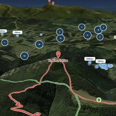 The best maps of the Carpathians: trails, 3D terrain and places to stay on one mapFor years we have been piecing the Carpathians together: trails, springs, mountain meadows, guesthouses, waterfalls. Now it all sits on...
