Vlčia jama – Dubové
Trail map
Route, springs and shelters: © OpenStreetMap contributors (ODbL) · elevation: Copernicus DEM © DLR e.V., © Airbus DS · Data & licences
About the trail
Route Vlčia jama – Dubové. Has green marking (regional route №5504a, KST). Waymarking data: OpenStreetMap (© OpenStreetMap contributors, ODbL).
Officially marked regional tourist route №5504a. The marking is green, the sign is a horizontal stripe on a white background. Marked and maintained by: KST. The length of the route is 22.6 km. Location: mountain range — Strednoslovenske hory, Slovakia.
Attention: part of the route has not yet been mapped in OpenStreetMap, so the line on the map has gaps. On the ground, orient yourself using the marking signs.
At a glance
A one-day route of 22.6 km with 1,201 m of ascent from Vlčia jama to Dubové. Estimated walking time: about 7.5 h, not counting stops. Difficulty: hard. Waymarking: green.
Route stages
- 0–4 kmClimb of 360 m (up to 792 m)
- 4–9 kmGentle ups and downs at 570–800 m
- 9–12 kmDescent of 220 m (down to 433 m)
- 12–15 kmGentle ups and downs at 430–510 m
- 15–17 kmClimb of 240 m (up to 738 m)
- 17–23 kmGentle ups and downs at 600–740 m, past Hyperk
Steepest kilometre: km 3–3, a climb of 140 m (≈18%).
Water and overnight stays
Springs near the trail: at km 4, 6, 8, 10, 11, 12, 13, 15, 16 and 18 etc..
When to go
The route can be walked most of the year; it is most comfortable from April to October.
Getting there
Start: Vlčia jama. This is a one-way route: the finish is 8 km from the start in a straight line, so plan your way back in advance.
FAQ
- How long does the route take?
- Estimated walking time: about 7.5 h, not counting stops.
- Is there water on the route?
- Springs near the trail: at km 4, 6, 8, 10, 11, 12, 13, 15, 16 and 18 etc..
Water and shelter on the route
- Spring below Tri kamenekm 5.2 from the start · Not verified · 771 m
- Spring below Skalka (north-west slope), 691 mkm 8.2 from the start · Not verified · 691 m
- Spring below Anderlochkm 10.1 from the start · Not verified · 605 m
- Spring below Štefkov vrchkm 12.9 from the start · Not verified · 607 m
- Spring below Hyperk (south-east slope)km 14.8 from the start · Not verified · 525 m
- Pitná voda Šanuj Springkm 15.6 from the start · Not verified · 471 m
- Spring below Hyperk (south-west slope), 437 mkm 16 from the start · 180 m off the path · Not verified · 437 m
- Captured spring below Malý vŕšok (south-east slope), 466 mkm 16.6 from the start · 90 m off the path · Not verified · 466 m
- Spring below Husárka (south slope), 464 mkm 17.8 from the start · 210 m off the path · Not verified · 464 m
- Spring below Husárka (south-west slope)km 18.4 from the start · 60 m off the path · Not verified · 490 m
- Spring below Trnákov vrch (north slope), 494 mkm 19.5 from the start · Not verified · 494 m
- Petrova Springkm 22 from the start · Not verified · 701 m
- Spring below Trnákov vrch (south-east slope)km 24.2 from the start · 170 m off the path · Not verified · 484 m
- Spring below Husárka (south slope), 513 mkm 25.4 from the start · 100 m off the path · Not verified · 513 m
- Captured spring below Malý vŕšok (south slope)km 25.9 from the start · Not verified · 515 m
- Spring below Malý vŕšokkm 26.3 from the start · 130 m off the path · Not verified · 507 m
- Spring below Hyperk (north slope)km 27.7 from the start · 50 m off the path · Not verified · 567 m
Comments
Trails nearby
All trails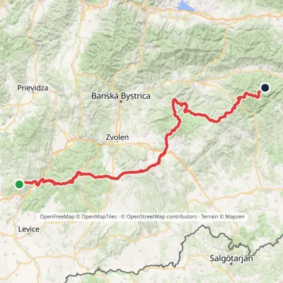 HardMulti-dayMarkedRudná magistrála: Veľký Inovec KadakElevation profile196–1 458 m195.4 kmascent 6 404 m
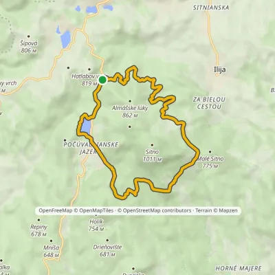 ModerateOne-dayMarkedPočúvadlianske jazero loopElevation profile682–770 m13.8 kmascent 120 m≈ 3.5 h walking
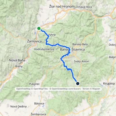 HardMulti-dayMarkedAndrej Kmeť TrailElevation profile231–1 011 m39.6 kmascent 1 216 m≈ 12.5 h walking
Craft nearby
All craft places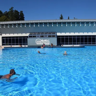 Water parks & thermal poolsKováčová: thermal spa and Holidaypark aquapark near ZvolenKováčová12 km from the trailKováčová is a spa village on the south-western edge of the Zvolen Basin, 4 km west of Zvolen at the foot of the Kremnica Mountains; the village centre lies at 303 m.
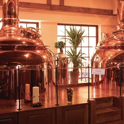 Craft beer & breweriesERB brewery in Banská Štiavnica: brewery tour and tastingBanská Štiavnica12 km from the trailBanská Štiavnica is an old mining town in the caldera of an extinct volcano and a UNESCO World Heritage site.
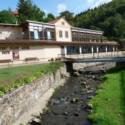 Water parks & thermal poolsSklené Teplice: Parenica cave steam bath and thermal bathsSklené Teplice14 km from the trailSklené Teplice is a small spa in a wooded valley of the Štiavnické vrchy hills, a few kilometres from the Hron valley and about 8 km from Banská Štiavnica.
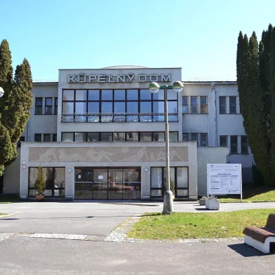 Water parks & thermal poolsSliač spa: warm carbonated water and a thermal swimming areaSliač15 km from the trailSliač is a spa in the Zvolen Basin above the Hron valley, between Zvolen and Banská Bystrica. The spa quarter with its 46-hectare park lies on a slope above the former...
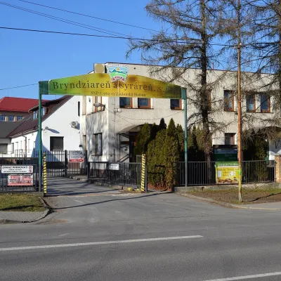 Cheese dairies & pasturesZvolenská Slatina bryndza dairy: the oldest, since 1797Zvolenská Slatina17 km from the trailBryndza with more than 220 years behind it Zvolenská Slatina is a large village in the Podpoľanie region, a few kilometres from Zvolen, at the foot of the volcanic...
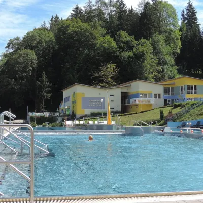 Water parks & thermal poolsVodný raj thermal pools in VyhneVyhne19 km from the trailVodný raj Vyhne ("Water Paradise") is a public pool complex with thermal water in the village of Vyhne, in a quiet wooded valley of the Štiavnické vrchy hills near the...
