Vișeu de Sus
Maramureș County · Romania
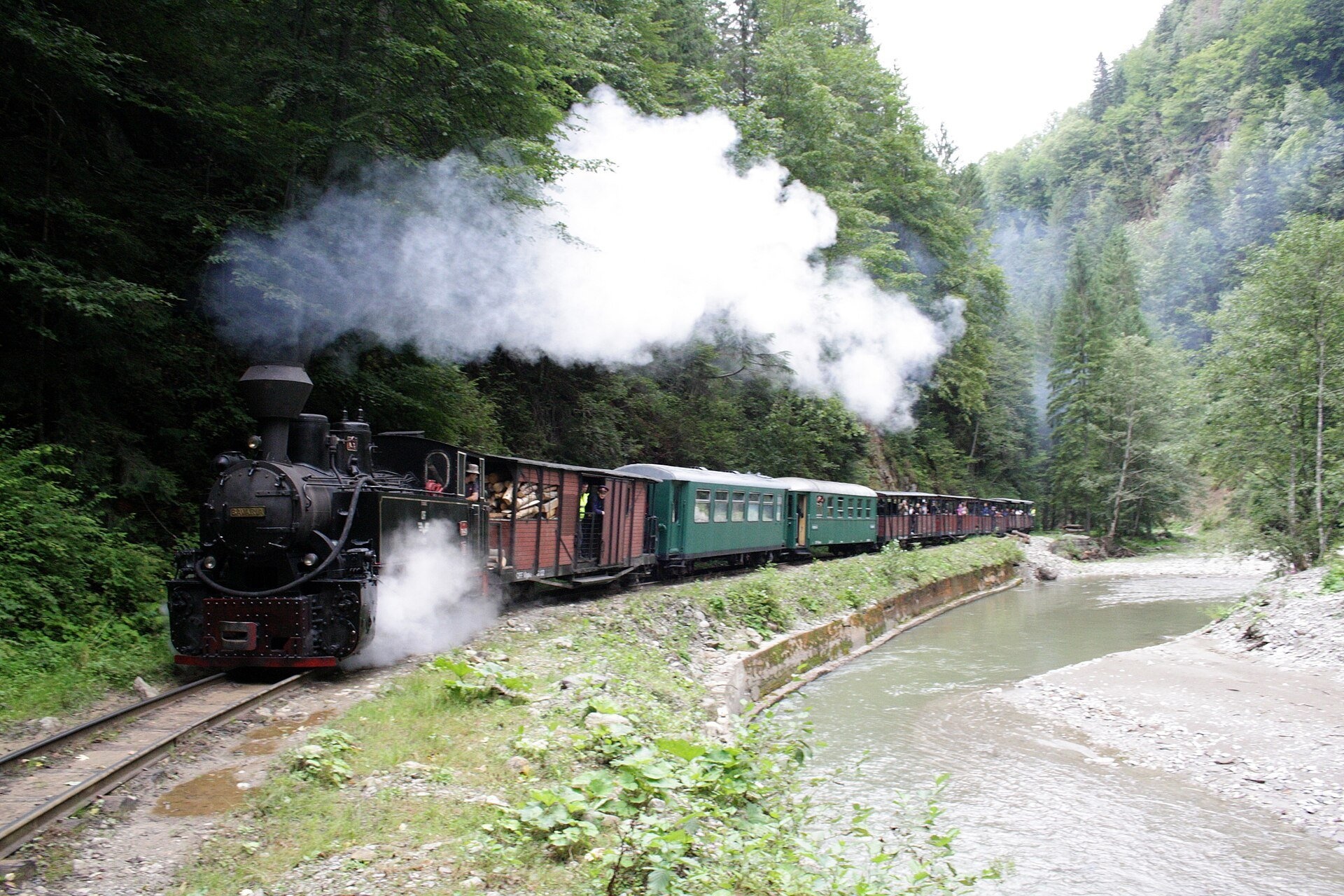
Vișeu de Sus is a town in Romania.
Elevation: about 427 m above sea level. Population: 15,349 (2021).
Here and nearby on the site: 1 craft place.
Facts: Wikidata, OpenStreetMap. More on Wikipedia
Comments
Travellers’ experience: reports, tips, questions.
Share your experienceSign in to write a comment, an «I was here» report or ask a question. There are no anonymous comments — that keeps the conversation honest.
No ads, insults or other people’s contacts. The first comment of a new author is checked by hand.How we handle data
No one has written here yet. Be the first — your experience helps others.
What's nearby
Trails nearby
All trails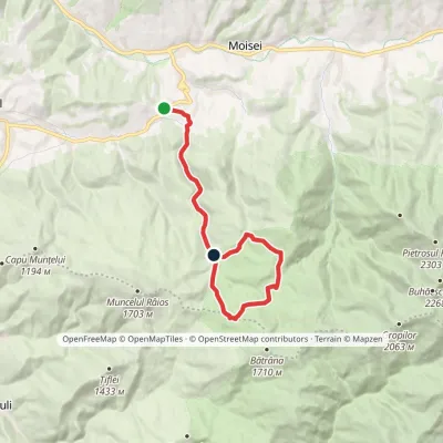 ModerateOne-dayMarkedDealul Moiseiului Izvorul Albastru al Izei (Blue Spring of the Iza)Elevation profile708–1 385 m15.2 kmascent 793 m≈ 5 h walking10 km from the centre
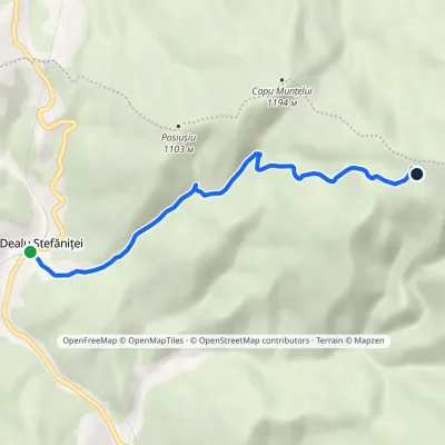 EasyOne-dayMarkedDealu Ștefăniței La VălaieElevation profile689–1 388 m5.5 kmascent 699 m≈ 2.5 h walking14 km from the centre
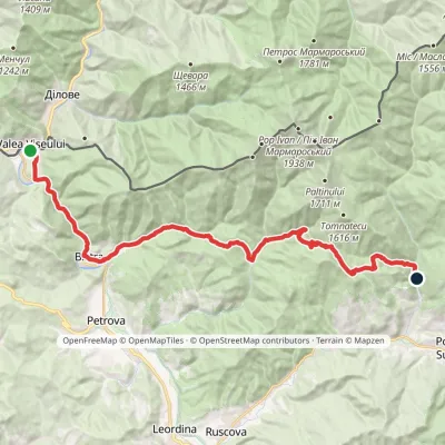 Hard1–2 daysMarkedValea Vișeului Repedea forest lodgeElevation profile339–1 167 m30.6 kmascent 1 180 m≈ 9.5 h walking17 km from the centre
Peaks nearby
All peaks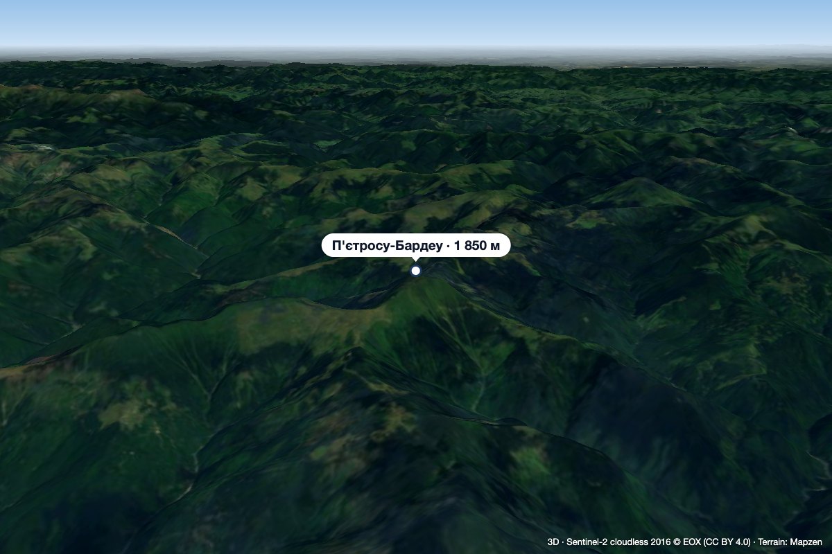 PeakPietrosu Bardăualtitude 1 850 m · Marmarosh range19 km from the centrePietrosu Bardău (Romanian Vârful Pietrosu Bardău, also Pietrosul Bardăului) is a 1,850 m summit in the Romanian part of the Maramureș Mountains, in the north of...
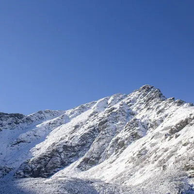 PeakPietrosul RodneiMoiseialtitude 2 303 m20 km from the centrePietrosul Rodnei (Romanian Vârful Pietrosul Rodnei, also Pietrosu) is a 2,303 m summit, the highest point of the Rodna Mountains and of the entire Eastern Carpathian...
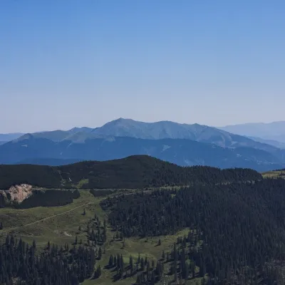 PeakToroiagaBăile Borșaaltitude 1 930 m · Marmarosh range22 km from the centreToroiaga (Romanian: Vârful Toroiaga, also Toroioaga) is the highest summit of the massif of the same name in the Romanian part of the Maramureș Mountains (Munții...
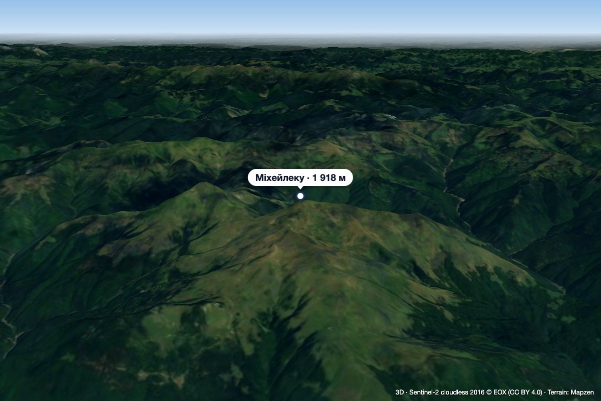 PeakMihăilecuPoienile de Sub Muntealtitude 1 918 m · Marmarosh range22 km from the centreMihăilecu (Romanian Vârful Mihăilecu, also spelled Mihailecu on maps) is a 1,918 m summit in the Romanian part of the Maramureș Mountains, in the north of Maramureș...
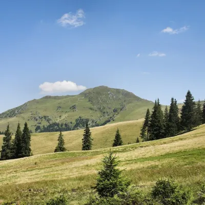 PeakFarcăualtitude 1 961 m · Marmarosh range24 km from the centreFarcău (Romanian Vârful Farcău) is the highest summit of the Romanian part of the Maramureș Mountains, 1,961 m high according to OSM and Wikidata; Romanian Wikipedia...
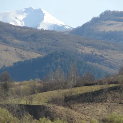 PeakȚibleșaltitude 1 839 m · Volcanic Carpathians range25 km from the centreȚibleș (Romanian: Vârful Țibleș, Hungarian: Cibles or Széples) is one of the three highest summits of the Țibleș Mountains in the Inner Eastern Carpathians, 1,839 m...
What to visit
All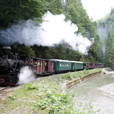 Heritage transportMocănița of Vișeu de Sus: forest narrow-gauge steam railwayVișeu de Sus1 km from the centreThe last working forest railway in the Carpathians In Romania narrow-gauge steam trains are affectionately called mocănița, and the most famous of them runs from the...
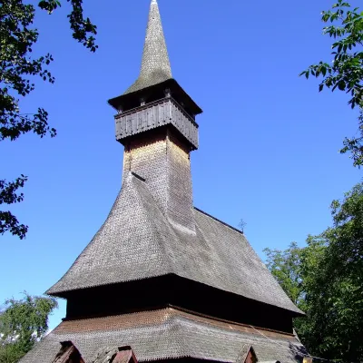 ChurchIeud Hill Church: UNESCO wooden church in MaramureșIeud15 km from the centreThe village of Ieud lies in a side valley near the Iza river, below the Țibleș Mountains, and was first mentioned in documents in 1364.
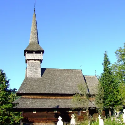 ChurchSt Paraskeva's Church, Poienile Izei: UNESCO wooden churchPoienile Izei24 km from the centreIt was first mentioned in a charter of 1430 and has had other names over the centuries; the church itself is sometimes called the church of Poienile Glodului.
Huts, shelters and springs nearby
Getting there from Ukraine
Border crossings
- Porubne – Siret — road and pedestrian, 24/7
- Diakivtsi – Racovăț — road and pedestrian, 24/7 No freight traffic.
- Krasnoilsk – Vicovu de Sus — road and pedestrian, 08:00–20:00 Cars up to 3.5 t and pedestrians only; not 24/7.
- Solotvyno – Sighetu Marmației — road and pedestrian, 24/7 Passenger traffic only: vehicles up to 3.5 t with up to 9 seats, pedestrians.
- Diakove – Halmeu — road, 24/7 No pedestrian crossing.
By car
Rakhiv – Borșa ≈116 km, ≈2 h 24 min (via Solotvyno – Sighetu Marmației); Chernivtsi – Borșa ≈179 km, ≈3 h 50 min (via Krasnoilsk – Vicovu de Sus); Uzhhorod – Borșa ≈241 km, ≈4 h 27 min (via Solotvyno – Sighetu Marmației). Times without border queues, our road routing (GraphHopper, OSM).
Checked 03.11.2026; border crossing hours and timetables change — check before you travel.
