Toroiaga
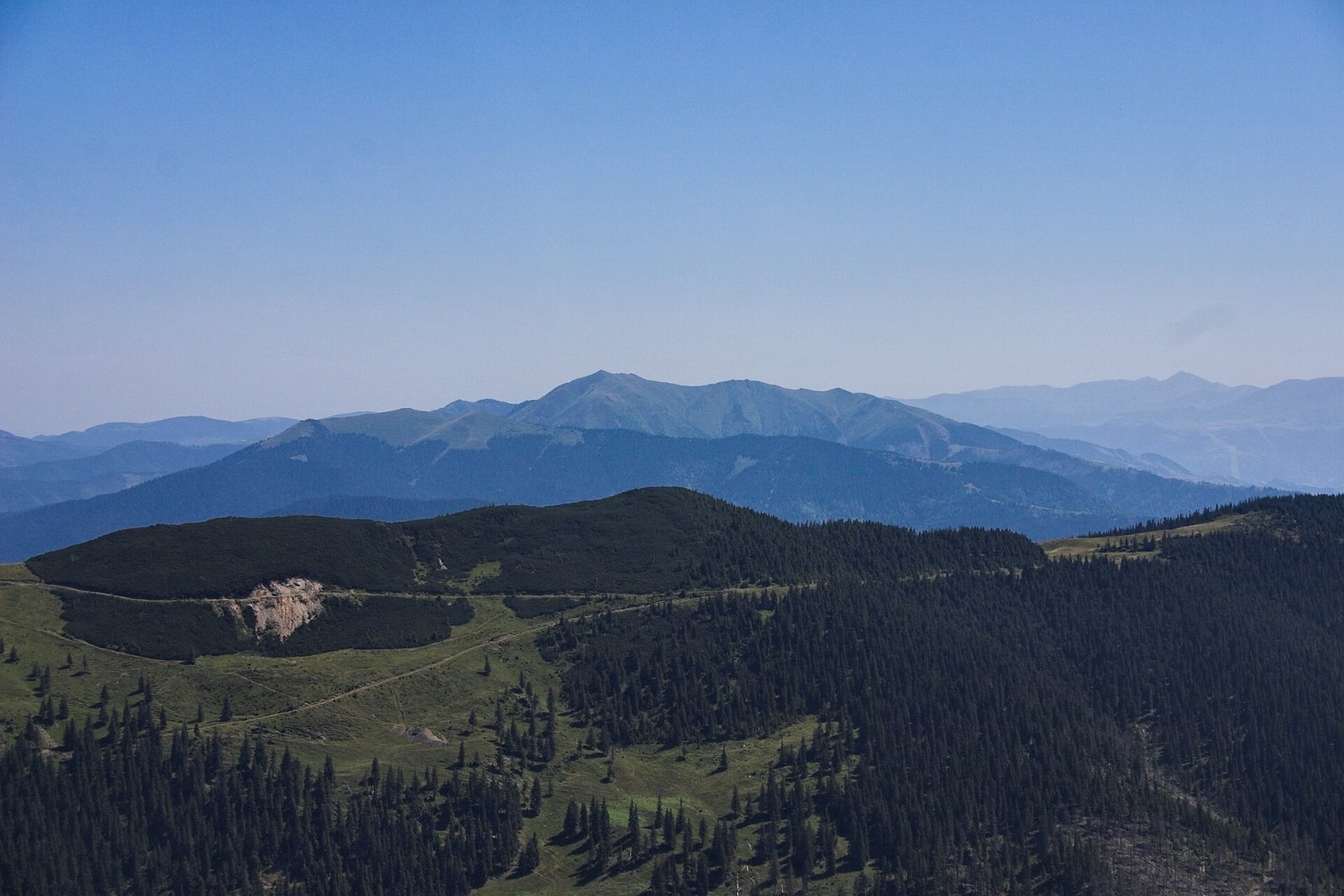
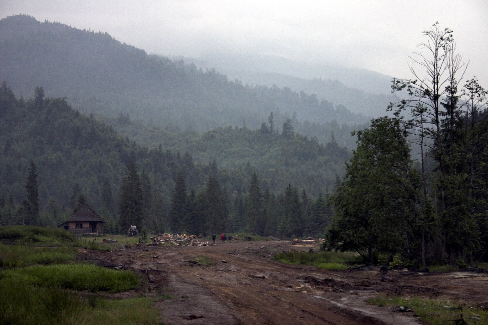
Toroiaga (Romanian: Vârful Toroiaga, also Toroioaga) is the highest summit of the massif of the same name in the Romanian part of the Maramureș Mountains (Munții Maramureșului), 1,930 m above sea level. It lies in Maramureș County above the mining village of Băile Borșa (about 5.5 km) and the town of Borșa (almost 10 km), between the Vișeu and Vaser valleys. According to the route descriptions on muntii-nostri.ro, the highest part of the massif is the sharp Toroiaga crest, the neighbouring top Piciorul Caprei is 1,804 m, and a mining boundary marker stands on the summit itself.
How to get there / routes
From the Prislop pass (route 10, red stripe). The Prislop pass (1,416 m) is the highest in the Eastern Carpathians. From there, according to muntii-nostri.ro, the route follows mostly forest and tractor roads via Tarnița Țâfa, past the peaks Hăjmaru, Cornul Nedeii and Strungi, the Fântâna Stanchii hut, the old hand-paved «Drumul Războiului» path, the Prislopul Cataramei meadow and the Gâliu saddle (1,430 m) to the Lucăciasa refuge. Then a former mining road through dwarf pine leads to the Toroiaga crest and along it to the summit. It is 30.4 km, 10–13 hours and more than 1,700 m of ascent; the route is considered technical.
From Băile Borșa and the Vaser valley (route 9, red triangle). The path from the Măcârlău stop of the Vaser valley narrow-gauge railway to Băile Borșa (15.6 km, 6–8 hours) passes below the Toroiaga crest via the Lucăciasa saddle; from the refuge the red stripe leads to the summit.
What you can see from the summit
According to muntii-nostri.ro, the summit offers a wide panorama: to the north-west Pietrosul Bardăului peak and, in the distance, Mount Farcău; below winds the Vaser valley with small lakes. To the south you see the Rodna ridge and Mount Cearcănu.
Nature and history
The Toroiaga massif has a long mining history: on route 9 you pass the abandoned mining colonies of Măcârlău and Gura Băii, adits and spoil heaps, and the slopes above the Vaser valley bear the scars of mining. Near the Măcârlău stop stands a stone dam (haitul) built in 1850 for floating timber. On the route from Prislop you may meet the black grouse, a protected bird. Near the crest you can see traces of an old fire in the dwarf pine.
Safety, season and rules
According to muntii-nostri.ro, the routes to Toroiaga require good navigation skills: the waymarks are faded or sparse in places, especially in logging areas. The traverse of the Toroiaga crest and the slopes below Piciorul Caprei are avalanche-prone in winter. In winter the high ridges carry a serious avalanche risk — follow the avalanche bulletin of Romania's National Meteorological Administration (ANM) on meteoromania.ro.
Bears are common in the Romanian Carpathians. Salvamont rescuers advise not to hike alone, to talk loudly so that an animal hears you in advance, to keep your distance and never feed wildlife, and to store food in sealed containers away from your tent; if you meet a bear, do not run and back away slowly without turning your back.
Mountain rescue: Salvamont national dispatch 0SALVAMONT = 0725 826 668 and the emergency number 112.
Interesting facts
- The Prislop pass, where the route starts, is the highest pass of the Eastern Carpathians.
- The summit of Toroiaga is marked by a mining boundary marker.
Photos: Martin Kozák, Public domain; Martin Kozák, Public domain — Wikimedia Commons.
Getting there from Ukraine
Border crossings
- Porubne – Siret — road and pedestrian, 24/7
- Diakivtsi – Racovăț — road and pedestrian, 24/7 No freight traffic.
- Krasnoilsk – Vicovu de Sus — road and pedestrian, 08:00–20:00 Cars up to 3.5 t and pedestrians only; not 24/7.
- Solotvyno – Sighetu Marmației — road and pedestrian, 24/7 Passenger traffic only: vehicles up to 3.5 t with up to 9 seats, pedestrians.
- Diakove – Halmeu — road, 24/7 No pedestrian crossing.
By car
Rakhiv – Borșa ≈116 km, ≈2 h 24 min (via Solotvyno – Sighetu Marmației); Chernivtsi – Borșa ≈179 km, ≈3 h 50 min (via Krasnoilsk – Vicovu de Sus); Uzhhorod – Borșa ≈241 km, ≈4 h 27 min (via Solotvyno – Sighetu Marmației). Times without border queues, our road routing (GraphHopper, OSM).
Checked 03.11.2026; border crossing hours and timetables change — check before you travel.
Comments
Travellers’ experience: reports, tips, questions.
No one has reported on this trail yet. Been here lately? Tell others what it is like now.
Location on the map
Water and shelter nearby
- Spring below Toroiaga (north slope), 1 460 m1.4 km · Not verified · 1 460 m
- Spring below Toroiaga (north slope), 1 476 m1.5 km · Not verified · 1 476 m
- Montan Lucaciasa Hut2.4 km · Not verified · 1 635 m
- Spring «Sondorilor»2.4 km · Not verified · 1 619 m
- Spring, 950 m2.9 km · Not verified · 950 m
Trails nearby
All trails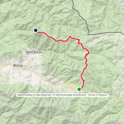 Hard1–2 daysMarkedPrislop Pass Toroiaga PeakElevation profile1 410–1 927 m30.4 kmascent 1 266 m≈ 9.5 h walkingunder 1 km from Toroiaga
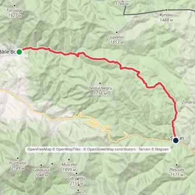 HardOne-dayMarkedBăile Borșa ȘesuriElevation profile777–1 692 m27.7 kmascent 975 m≈ 8.5 h walking5 km from Toroiaga
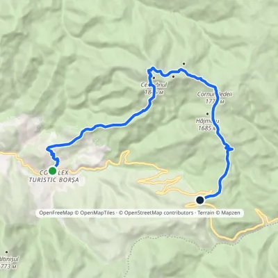 ModerateOne-dayMarkedBorșa Prislop PassElevation profile847–1 830 m16.2 kmascent 1 109 m≈ 6 h walking12 km from Toroiaga
Nearby attractions
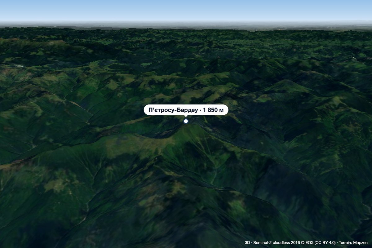 PeakPietrosu Bardăualtitude 1 850 m · Marmarosh range14 km from ToroiagaPietrosu Bardău (Romanian Vârful Pietrosu Bardău, also Pietrosul Bardăului) is a 1,850 m summit in the Romanian part of the Maramureș Mountains, in the north of...
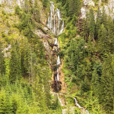 WaterfallCailor Waterfall (Cascada Cailor)Rodna Mountains17 km from Toroiagaheight 80–90 m1 331 m above sea levelCailor Waterfall (Romanian: Cascada Cailor, "the Horses' Waterfall") lies above the resort of Borșa in the north-eastern part of the Rodna Mountains, Maramureș County.
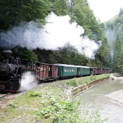 Heritage transportMocănița of Vișeu de Sus: forest narrow-gauge steam railwayVișeu de Sus21 km from ToroiagaThe last working forest railway in the Carpathians In Romania narrow-gauge steam trains are affectionately called mocănița, and the most famous of them runs from the...
