Băile Borșa
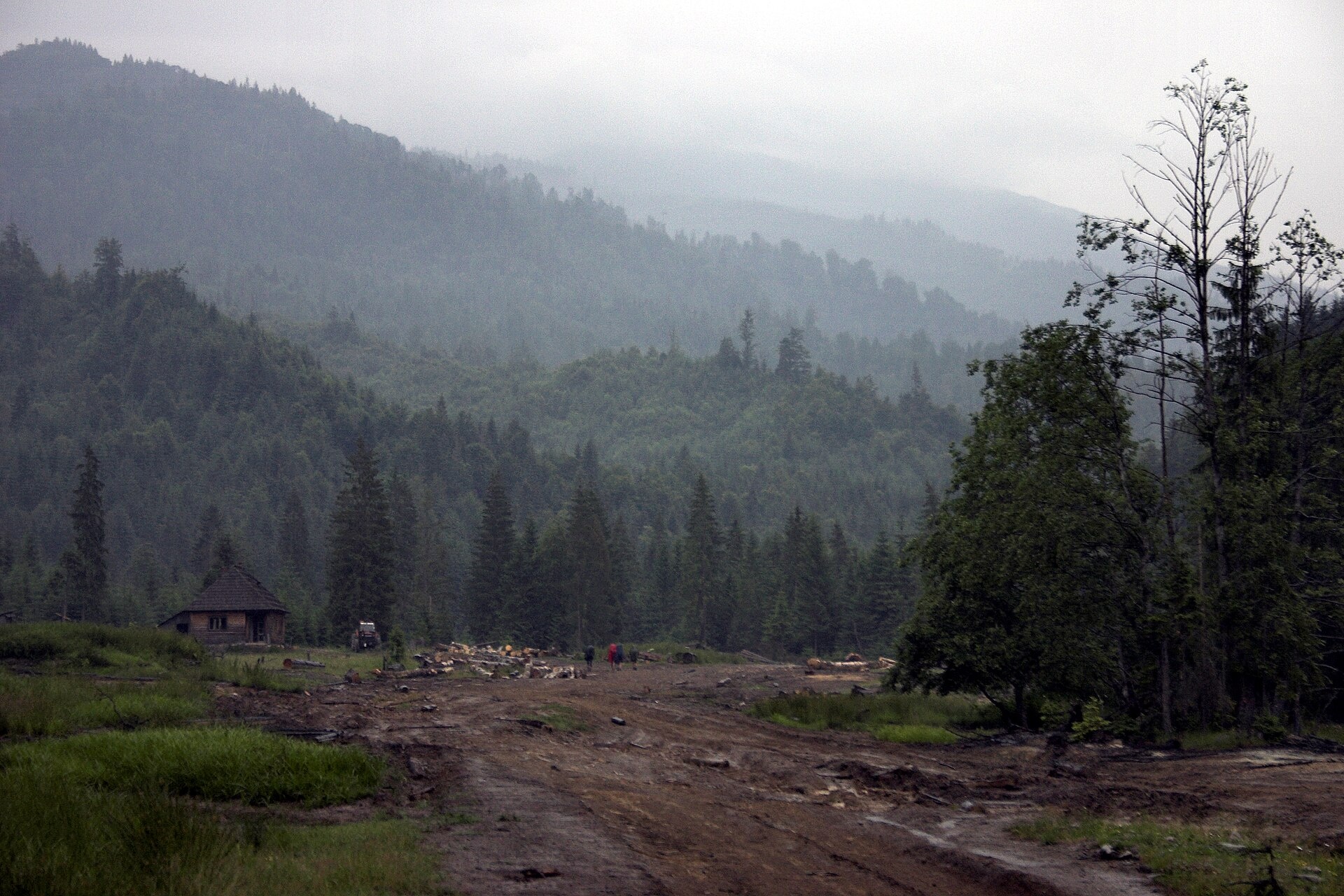
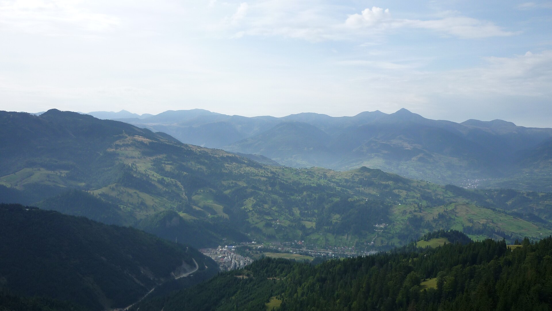
Photos: Martin Kozák, Public domain (Wikimedia Commons); Petrea lu Neky, Public domain (Wikimedia Commons)
Băile Borșa (formerly Baia Borșa, Hungarian Borsabánya, “Borșa mine”) is a settlement in Maramureș County that has been part of the town of Borșa since 1968. The 2021 census counted 2,907 inhabitants. Ore mines were opened here in the 19th century.
Borșa itself is first documented in 1365, when King Louis I of Hungary granted it to Balc, son of Sas. Băile Borșa is a seasonal spa and climatic resort of local importance at about 850 m, in the eastern part of the Maramureș Depression, in the valley of the Vișeu. The Roman Catholic church of St Francis of Assisi was built in 1925, while the parish has existed since 1806; a small monument to the soldiers who fell in the two world wars stands in front of it.
It lies in a valley on the southern side of the Maramureș Mountains, facing the Rodna Mountains. On the site the trail “Băile Borșa – Șesuri” starts here, with “Borșa – Prislop Pass” and “Prislop Pass – Toroiaga Peak” nearby.
Getting there from Ukraine
The nearest place we have road figures for is Borșa (≈5 km from here in a straight line): Rakhiv – Borșa ≈116 km, ≈2 h 24 min (via Solotvyno – Sighetu Marmației); Chernivtsi – Borșa ≈179 km, ≈3 h 50 min (via Krasnoilsk – Vicovu de Sus). Times are without border queues, by our road routing. Romanian national roads require an electronic vignette (rovinieta).
Sources: Wikipedia, Wikidata, OpenStreetMap, Karpaty.rocks data. More on Wikipedia
What's nearby
Trails nearby
All trails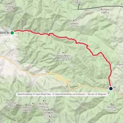 HardTwo-dayMarkedBăile Borșa ȘesuriElevation profile777–1 692 m27.7 kmascent 975 m≈ 9 h walking1 km from the centre
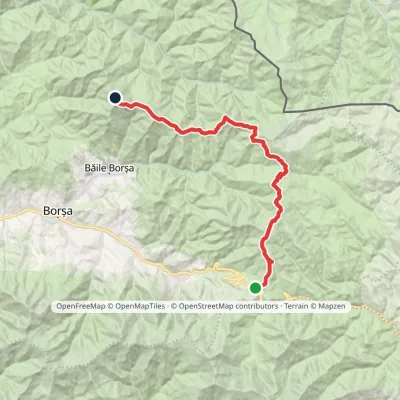 HardMulti-dayMarkedPrislop Pass Toroiaga PeakElevation profile1 410–1 927 m30.4 kmascent 1 266 m≈ 10 h walking5.1 km from the centre
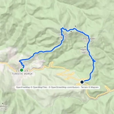 ModerateTwo-dayMarkedBorșa Prislop PassElevation profile847–1 830 m16.2 kmascent 1 109 m≈ 6.5 h walking8.1 km from the centre
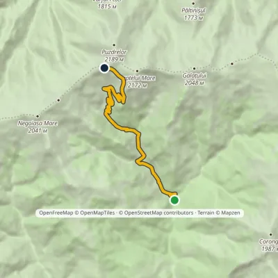 ModerateOne-dayMarkedÎntre Izvoare Tarnița BârsanuluiElevation profile829–1 998 m9.6 kmascent 1 169 m≈ 4.5 h walking12 km from the centre
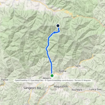 HardTwo-dayMarkedAnieș Gărgălău SaddleElevation profile494–1 879 m24 kmascent 1 406 m≈ 9 h walking14 km from the centre
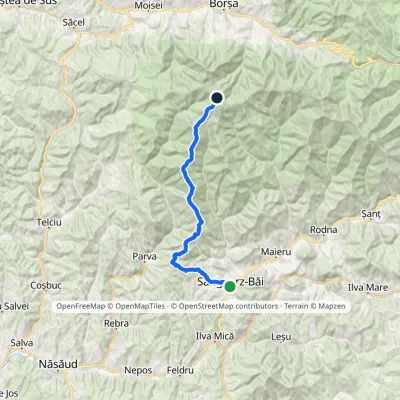 HardMulti-dayMarkedSângeorz-Băi Obârșia Rebrii SaddleElevation profile437–2 024 m33.5 kmascent 2 738 m≈ 14 h walking14 km from the centre
Peaks nearby
All peaks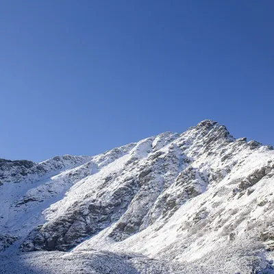 PeakPietrosul RodneiMoiseialtitude 2 303 m11 km from the centrePietrosul Rodnei (Romanian Vârful Pietrosul Rodnei, also Pietrosu) is a 2,303 m summit, the highest point of the Rodna Mountains and of the entire Eastern Carpathian...
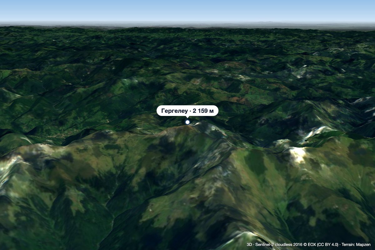 PeakGărgălăuValea Vinuluialtitude 2 159 m15 km from the centreGărgălău (Romanian Vârful Gărgălău, also Gârgalău) is a 2,159 m summit in the eastern part of the Rodna Mountains, on the main ridge above the Borșa resort.
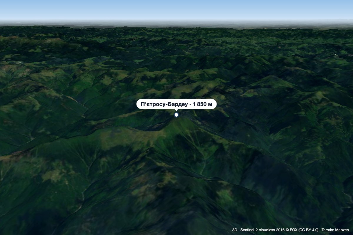 PeakPietrosu Bardăualtitude 1 850 m · Marmarosh range18 km from the centrePietrosu Bardău (Romanian Vârful Pietrosu Bardău, also Pietrosul Bardăului) is a 1,850 m summit in the Romanian part of the Maramureș Mountains, in the north of...
What to visit
All
Huts, shelters and springs nearby
Getting there from Ukraine
Border crossings
- Porubne – Siret — road and pedestrian, 24/7
- Diakivtsi – Racovăț — road and pedestrian, 24/7 No freight traffic.
- Krasnoilsk – Vicovu de Sus — road and pedestrian, 08:00–20:00 Cars up to 3.5 t and pedestrians only; not 24/7.
- Solotvyno – Sighetu Marmației — road and pedestrian, 24/7 Passenger traffic only: vehicles up to 3.5 t with up to 9 seats, pedestrians.
- Diakove – Halmeu — road, 24/7 No pedestrian crossing.
By car
Rakhiv – Borșa ≈116 km, ≈2 h 24 min (via Solotvyno – Sighetu Marmației); Chernivtsi – Borșa ≈179 km, ≈3 h 50 min (via Krasnoilsk – Vicovu de Sus); Uzhhorod – Borșa ≈241 km, ≈4 h 27 min (via Solotvyno – Sighetu Marmației). Times without border queues, our road routing (GraphHopper, OSM).
Checked 03.11.2026; border crossing hours and timetables change — check before you travel.
