Turkovsky district
Turka district is a district of Ukraine in the southwest of Lviv region. The district and administrative center is the city of district significance Turka. The Turka district is also rich in such tourist locations as Lybokhora, Rozluch, Kryvka, Verkhnye Husne, Komarniki, Nyzhnye Vysotske, Verkhnye Vysotske, Yavora, Mokhnate, Melnychne, Borynia, Yasenytsia, Lopushanka, Losynets.
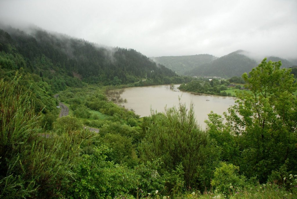
The district is located in the south-west of the region, in the geographical zone of the Ukrainian Carpathians with altitudes of 500-1400 m. Its surface is formed by mountain ranges: low - Verkhniodnistrovski Beskydy (in the upper reaches of the Dniester) and Turkivska Verkhovyna, medium - Skole Beskydy and Verkhovyna Watershed Ridge, where near the village of Verkhnye Husne there is the highest peak of the Lviv Beskydy - Pikuy (1408 m). The largest rivers are the Dniester (its source is located here), Stryi, and Syan.
The district borders with Starosambir, Drohobych and Skole districts of Lviv region, as well as Volovets and Velykyi Bereznyi districts of Zakarpattia region.
The district's population was formed thanks to the rivers Litmyr, Yablunka (or Turka), and Stryi, which served as the basis for the settlement of Turka. The pioneers of the Boyko tribes settled on their banks. The city got its name from the turs that grazed on the coastal plains. Many villages of the Turka region began to be settled during the existence of the Old Russian state. In the fifteenth century, the lands of Rus were granted by the Polish-Lithuanian king to his vassals. The first written mention of Turka dates back to 1431.
The population of Prykarpattia, the upper and middle Naddnistrovia, now looks culturally and linguistically quite monolithic. Although Hutsuls, Boikos, Bukovynians, and Naddnistrians still differ somewhat in their customs and some linguistic features, they all belong to a single Ukrainian people and create a common all-Ukrainian culture.
Tourism and excursions are the best way to spend your vacation. The Turka region has good opportunities to realize this goal. As part of the Carpathian mountain system, this territory has a number of peculiarities that are manifested in its nature, history, and economic activities. Here is one of the most beautiful mountain meadows in the Lviv region - Bukovetska Polonyna, in the eastern part of which the highest peak of the region, Pikuy, rises. It offers a magnificent panorama of the mountains of Turka, Skole and Zakarpattia.
The source of the Dniester River, the largest river in Lviv region and one of the largest rivers in Ukraine, is a picturesque sightseeing spot. Its main waterway, the Strkyi River, flows through the entire district. It is a part of the Main European Watershed that separates the waters of the Baltic and Black Seas. The mountain ranges are attractive for tourists: Verkhovyna watershed (dividing the waters of the Dniester and Danube rivers), Rozlutskyi, Vysokyi Verkh; Pikuy, Magura Limnyanska, Minchol Zubrytskyi, Shymonets, Kyivets, Zvirynets, and other peaks.
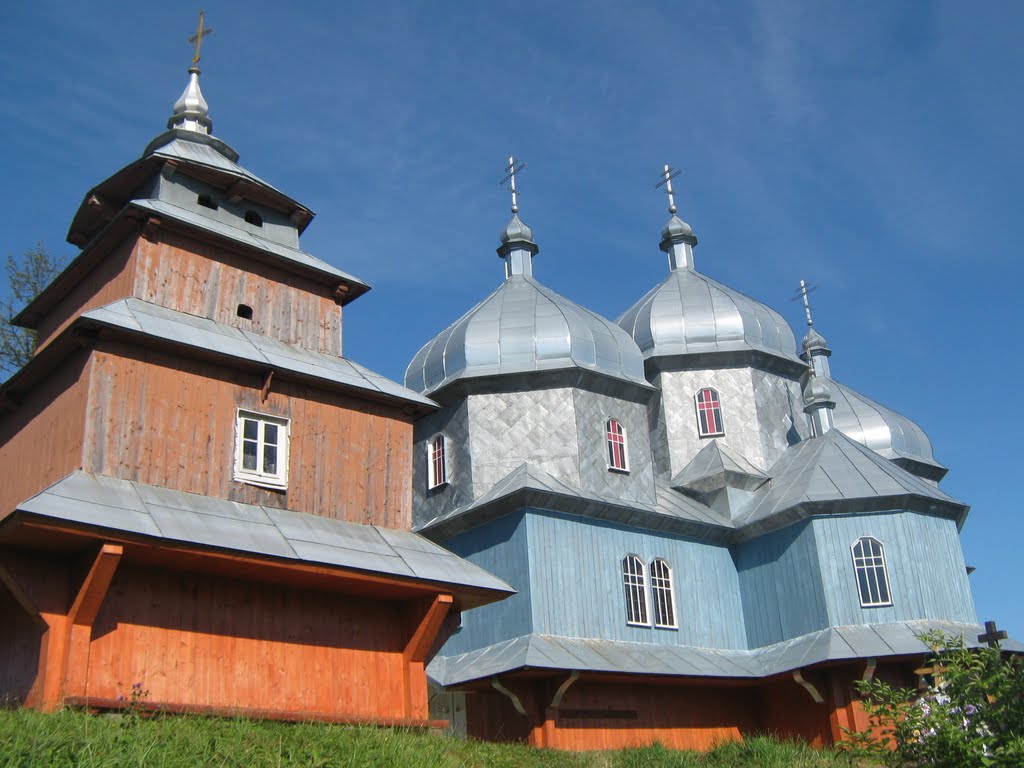
Historical sites of the region are tourist attractions. These include the Uzhok Pass, the site of the first battles of the Ukrainian Sich Riflemen; the outskirts of the village of Svydnyk, the site of the first oath of allegiance to Ukraine and its people by UPA units. There are remnants of military settlements and guard settlements of the period of the Kyivan and Halychyna-Volynian states in the district. Fascinating for travelers are the Boyko villages themselves, which are garlanded along rivers and streams. Many of them have wonderful historical and architectural monuments.
With the development of rural green tourism, Turka region is becoming increasingly popular in this regard. Tourists are attracted here primarily by the ecological purity of the mountain nature with beautiful scenery. The complete absence of the industrial sector provides good health and recreational opportunities. These are, first of all, numerous sources of mineral waters such as 'soda' and 'naftusia', and clean healing air. This creates good conditions for relaxation from the hectic everyday life.
More than 20 rural owners are ready to welcome guests in their estates.
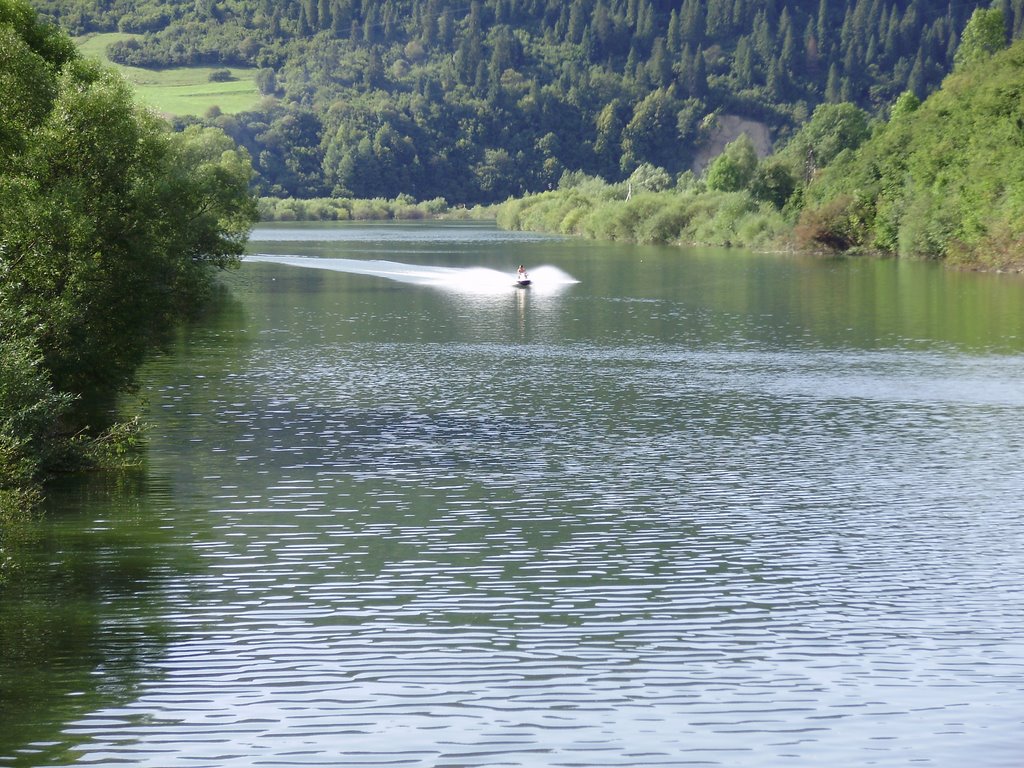
In the summer, vacationers can pick mushrooms, berries, medicinal plants, fish, go hunting, go cycling, horseback riding, swim in mountain rivers, and spend unforgettable evenings around a campfire in the mountains.
In winter, guests can go skiing, sledding, and ice skating. Get acquainted with folk rituals and feel the solemnity of religious winter holidays: - St. Nicholas, Christmas, Old New Year, Epiphany. Mass festivities, carols, nativity scenes make an unforgettable impression on vacationers.
Natural attractions
- The source of the Xiang River
- "Dovbush's Well in the village of Rozluchi
- Mount Lysa (689 m)
- Franko's well "Under the Linden" in the village of Vovche
- The source of the Dniester River in the "Stare Pole" tract in the village of Vovche, on the southwestern slope of the Rozlutskyi ridge, at an altitude of 760 m.
- Mount Rozluch (933 m)
- Mount Pikuy (1408 m)
- Religious buildings
- Synagogue (XIX c.) - Turka, Dzherelna street
- Church of the Intercession of the Virgin Mary (1780) - Turka
- Church of the Transfer of the Relics of St. Nicholas (1750) - Turka, Sheptytskoho str.
- Church of St. Nicholas (1739) in Serednya Turka
- The Church of the Assumption of the Blessed Virgin Mary (1750) in Horyshna Turka
- Church of the Nativity of the Blessed Virgin Mary (XV century - 1507) in Verkhne Vysotske village
- Church of St. Michael the Archangel and the bell tower (1663) in the village of Isai
- Church of St. Michael the Archangel / St. Peter and Paul (1871) in Zubrytsia village
- Church of St. Nicholas / St. John the Theologian (1886) in the village of Holovske
- Church of St. Dmytro (1892) in the village of Losynets
- Church of the Intercession of the Blessed Virgin Mary (1875) in Lopushanka village
- Church of the Cathedral of the Blessed Virgin Mary (1877) in the village of Khashchiv
- Church of St. John the Baptist (1881) in the village of Limna
- Church of the Entrance of the Blessed Virgin Mary (1680) in Vovche (Sereda)
- Church of the Nativity of St. John the Baptist (1895) in Pryslip village
- Church and bell tower of the Cathedral of the Blessed Virgin Mary (1902) in Mokhnate village
- Church of St. Dmitry (1838) in the village of Matkiv
- Church and bell tower of the Holy Trinity (1903) in the village of Nyzhnye Husne
- Church of the Cathedral of the Blessed Virgin Mary and bell tower (1798) in the village of Lybokhora
- Church of St. Michael the Archangel (1922) in the village of Lybokhora
- Church of St. Michael the Archangel (1921) in Ivashkivtsi village
- Church of St. Nicholas and bell tower (1816) in Komarnyky village
- Church and bell tower of the Descent of the Holy Spirit (1814) in the village of Nyzhne Vysotske
- Church of the Holy Apostles Peter and Paul (1870) in Nyzhne village
- Church of St. Archangel Michael (1772) in the village of Karpatske
- Church of the Annunciation of the Blessed Virgin Mary (1838) in Yabluniv village
- Church of the Cathedral of the Blessed Virgin Mary (1788) in the village of Verkhnia Yablunka
- Stone churches Assumption Church (1778) - Turka
- The Church of the Nativity of the Blessed Virgin Mary and the bell tower (XVII-XVIII centuries) in the village of Verkhnye Vysotske
- Church of St. Nicholas (1842) in the village of Bitlia
- Church of the Transfiguration of the Lord (1820) in the village of Nyzhnya Yablunka
- What's interesting
- Market Square in Turka
- Folk Museum "Boykivshchyna" in Turka
- Boyko festivals.
- Eco-cultural festival "Day of the Dniester"
- Festival of patriotic songs "Strilletska Slava" near the villages of Yavoriv - Syanky near the Uzhok pass.
- Western rehabilitation center in the village of Yavoriv.
- The site of the shot Kryivka in the Zavalina tract in the village of Vovche.
- A quarry in the town of Turka.
- Recreation center "U Varvaricha" in the village of Pryslip.
- Commemoration of Operation Vistula in the villages of Verkhniy Turiv and Sokoliki.
The Turka region is surrounded by mountains and has always been considered poor and inaccessible. Turks proudly call their city the capital of the Boyko, but this does little to change the situation - the district's poor roads and lack of roadside infrastructure scare away potential tourists.
With the proclamation of Ukraine's independence in 1992, Turka became the center and organizer of the First World Boyko Festivals. This majestic event, held every five years, is accompanied by the unique trembita trumpets and melodies of troyist musicians and attracts a large number of tourists and guests from all over the world.
Since 2007, the construction of the Western Rehabilitation and Sports Center has been underway in Verkhnye village, led by the National Olympic Committee for Sports for the Disabled of Ukraine, headed by Hero of Ukraine, MP Valeriy Sushkevych. In the future, the infrastructure for hosting athletes and tourists with 1,000 beds, a 2,250-meter cable car, ski slopes, cross-country skiing trails, and a biathlon shooting range are to be built.
- Route 1: "Golden Ring of Boikivshchyna" (Turka-Rozluch-Sambir-Kulchytsia-Nahuyevychi - Skhidnytsia - Urych - Skole - Tukhlia - Nyzhni Vorota - Volovets - Mizhhiria - Synevyr Lake - Bolekhiv - Morshyn - Stryi - Drohobych - Truskavets - Skhidnytsia - Turka). The route is 534 km long and lasts 6-7 days. This interesting road tourist route, proposed by the famous local historian Yaroslav Tyryk, a teacher of Limnyanska school in Turka district, runs through the territory of the Boyko region within Lviv, Zakarpattia, and Ivano-Frankivsk regions.
- Route 2: "The Ruskyi Shlyakh - the ancient way through the Carpathians" (Sambir - Strelky - Limna - Vovche - source of the Dniester River - Rozluch - Turka - Borynia - Komarnyky - Lybokhora - the Ruskyi Shlyakh pass - the valley of the Latorytsia River (Zakarpattia). The route is 80 km long and lasts 5-6 days. Tourists have the opportunity to walk along one of the oldest and safest routes used since Neolithic times by tribes and peoples living on both sides of the Carpathians, as well as on the shores of the Mediterranean and Baltic Seas. It ran along the Dniester River valley and then the Stryi River to the Verkhovyna Watershed Ridge. Tourists traveling along the 'Russian Way' route can learn that fortified settlements and watchtowers stood near clearly visible peaks, with the previous one clearly visible from the next along the way.
- Route No. Z: Rozluch - Turka - Syanky (by train) - Verkhovyna Watershed Ridge (to Pikuy) - Husne. The route is 75 km long, 38 km of which are on foot. Near the village of Syanky (the highest village in the district - 890 m above sea level) is the source of the Syang River. Nowadays Syanki have become a center of skiing (in 1913 there was the best ski track in Poland), there are tracks for ski racing and winter orienteering, On the border with Zakarpattia is the Uzhok Pass, a witness of formidable historical events: there are graves of Austro-Hungarian and Russian soldiers who died in the battles of the First World War and a symbolic grave of the Ukrainian Sich Riflemen on the site of their first battle in September 1914. From Syianky, tourists go on foot to Mt. Pikuy (1408 m) along the Verkhovyna Watershed Ridge. From the top, you can enjoy magnificent views of Zakarpattia, the Skole Beskydy and Turka Verkhovyna. Tourists will be fascinated by the flora of Pikuy. It is no coincidence that a 711-hectare nature reserve was created here.
- Route #4: Rozluch - Yavora - Svydnyk - Yasinka - Kindrativ - Holovske - Skhidnytsia (Drohobych) - Urych (Skole). The route is 60 km long and lasts 4-5 days. This route is special because it can be done on foot, by car, or by boat on the Stryi River. The Yavirnyi Waterfall (near Yavora), the Stepped Rock (near Yasinka Zamkova) and the legendary Urytski Rocks, where a powerful fortress Tustan functioned in the X-XIII centuries, are well-known far beyond the region. On the rocks of the mountain there are drawings of ancient pagans. A historical place is the outskirts of the village of Svydnyk, where in the summer of 1944 the first stage of the UPA's military oath to the unified government of Ukraine, the Ukrainian Main Liberation Council, was held. The village of Kindrativ was the birthplace of the prominent ethnographer and historian Mykhailo Zubrytskyi (1856-1919).
- Route No. 5: "Makivka - the Mountain of the Eternal Glory of the Ukrainian Sich Riflemen" (Rozluch - Turka - Ilnyk - Bagnuvate - Vysokyi Verkh - Kozeva (Skole district) - Polovetske - Mt. Makivka). The route is 50-55 km long and lasts 2-3 days. The route passes through the picturesque places of Turka and Skole districts to the mountain of immortal glory of the Ukrainian Sich Riflemen - Makivka. This route was launched in the mid-80s by the patriotic youth of Turkivshchyna under the leadership of their leader Myron Utrysko. The Vysokyi Verkh ridge offers a magnificent panorama of the inhabited Stryisko-Sianska Verkhovyna and the forested Skole Beskydy. This part of the Turka and Skole regions is the least accessible to humans, so the flora and fauna are best preserved here.
We recommend visiting in Turkovsky district


Trails nearby Turkovsky district
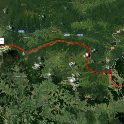
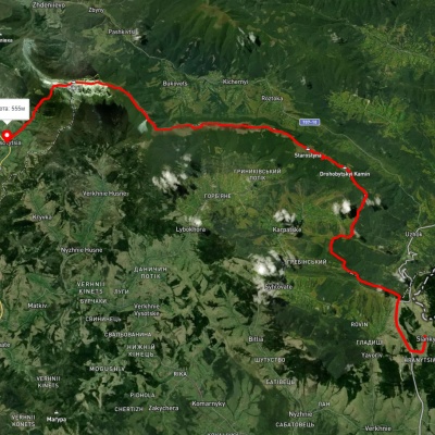
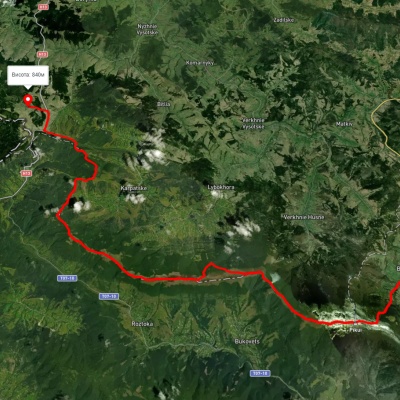
Which hiking trails pass through or near Turkovsky district?
We suggest these hiking trails through or near Turkovsky district: Sianky village, via Mount Starostyna and Mount Velykyi Verkh to Mount Pikui, Sianky village, via the Verkhovyna Watershed ridge and Mount Pikui to Bilasovytsia village, Sianky village, via Mount Drohobytskyi Kamin, the Ruska Put Pass and Mount Pikui to Bilasovytsia village, Sianky village, via Mount Starostyna, Mount Pikui, Shcherbovets village, Mount Ostra Hora and Runa polonyna to Turychky village, Sianky village, via Mount Starostyna, Mount Velykyi Verkh and Mount Pikui to Bilasovytsia village, Lybokhora village, via Mount Pikui to Bilasovytsia village