Richka

Richka is a settlement in the Carpathian region of Ukraine. Location: Khust district, Transcarpathian region. Worth seeing nearby: Kelechyn Eco Park, Kelechyn — 3 km; Church of the Presentation of the Blessed Virgin Mary, Bukovets — 4 km; Polonyna-Kuk — 10 km. The nearest peaks: Mount Zvir — 1 115 m; Mount Kychera (Mizhhiria) — 1 257 m; Mount Kruhla — 1 208 m. Hiking trails close by: Kerechky village, via Mount Stiy, Mount Velykyi Verkh, Mount Hemba and Mount Zhyd-Mahura to Rychka village; Rychka village, via Mount Zhyd-Mahura, Mount Hemba, Shypit Waterfall and Mount Velykyi Verkh to Volovets. There are places to stay here and nearby, from guest houses to hotels.
Below: places to stay, sights, trails and peaks nearby, the weather and answers to frequent questions.
What to visit
Landmarks, museums and places of interest near Richka.
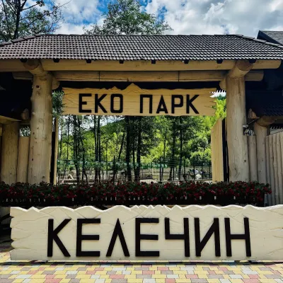 Wildlife parks & animal farmsKelechyn Eco Park, KelechynKelechyn3.1 km from the centreKelechyn Eco Park is a small petting park in the village of Kelechyn in Zakarpattia, on the road from Mizhhiria towards Volovets.
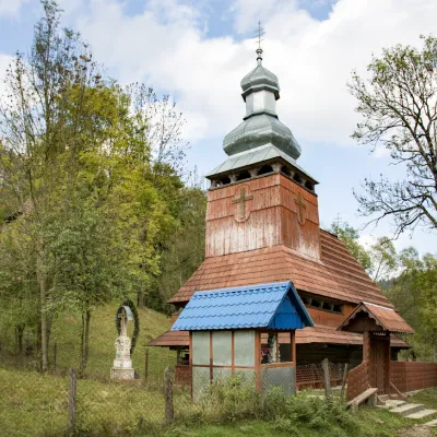 ChurchChurch of the Presentation of the Blessed Virgin Mary, BukovetsBukovets4.1 km from the centreThe ensemble of the Church of the Assumption of the Blessed Virgin Mary with a bell tower and a wooden gate, which is rare today.
 Mountain meadowPolonyna-KukMizhhiriaaltitude 1 189 m · Borzhava range9.6 km from the centreVery beautiful scenery, there is a spring and places to spend the night with a tent down the road to Mount Cook.
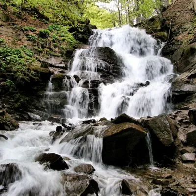 Waterfall"Shypit Waterfall" PylypetsPylypets11 km from the centreIn a cozy corner of the Carpathian Mountains, among the evergreen mountain forests and steep, sharp cliffs, lies the most full-flowing and beautiful waterfall in...
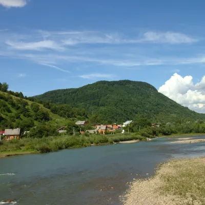 RiverRika RiverMizhhiria12 km from the centreThe Rika rises near the village of Torun on the south-western slopes of the Verkhovyna Range, where the Pryslip and Torunka streams meet, and flows through Mizhhiria,...
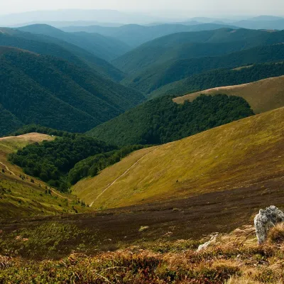 Mountain meadowPolonyna BorzhavaPylypetsaltitude 1 400 m12 km from the centrePolonyna Borzhava is the longest polonyna massif in Zakarpattia and one of the best known in the Polonynskyi Ridge of the Ukrainian Carpathians.
Craft nearby
All craft places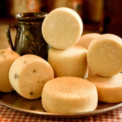 Cheese dairies & pasturesIZKI Highland Cheese Dairy, IzkyIzky6.2 km from the centreThe IZKI cheese dairy is the culinary highlight of the eco-resort of the same name in the village of Izky, Zakarpattia.
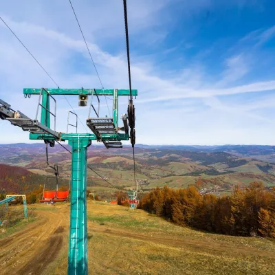 Adventures & attractionsPylypets Sky & Bike Park: chairlift and bike park, PylypetsPylypets10 km from the centrePylypets Sky & Bike Park is a chairlift and bike park in the Zakarpattia village of Pylypets, one of the region’s best-loved ski resorts.
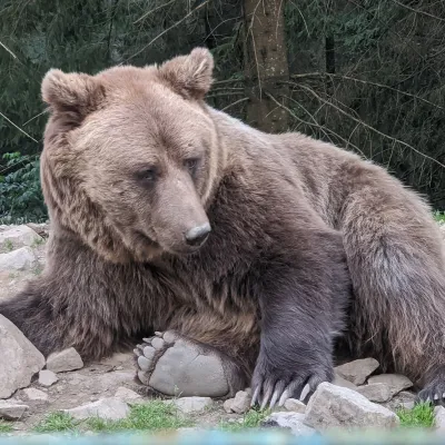 Wildlife parks & animal farmsBrown Bear Rehabilitation Centre, Synevyr National Park, Synevyrska PolianaSynevyrska Polyana21 km from the centreThe Brown Bear Rehabilitation Centre of Synevyr National Nature Park is Ukraine’s largest refuge for bears that have suffered from cruel treatment.
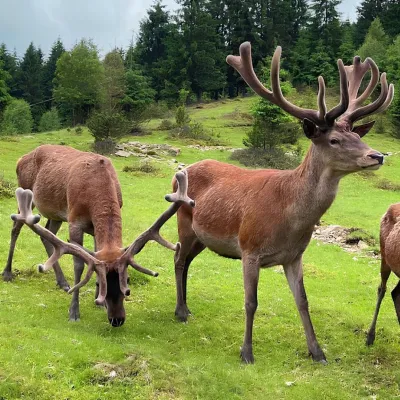 Wildlife parks & animal farmsBioPark Synevyr – Africa in the Carpathians, Synevyrska PolianaSynevyrska Polyana21 km from the centreBioPark Synevyr – Africa in the Carpathians is a hands-on animal park in the Rabachynka area near Synevyrska Poliana, in the valley of the Chorna river.
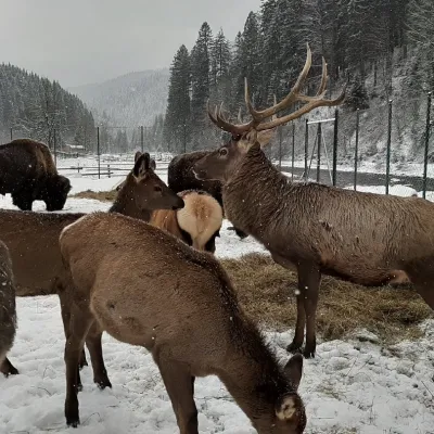 Wildlife parks & animal farmsWolf Valley Eco Park, Synevyrska PolianaSynevyrska Polyana21 km from the centreWolf Valley Eco Park (Dolyna Vovkiv) is a private animal park in Synevyrska Poliana, in the Mizhhiria area of Zakarpattia, where several kinds of wolves, red deer,...
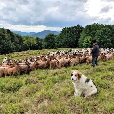 Cheese dairies & pasturesVivcharskyi Khutir Sheep Farm, Synevyrska PolianaSynevyrska Polyana23 km from the centre"Vivcharskyi Khutir" ("Shepherd's Homestead") is an ethno-centre and sheep farm in Synevyrska Poliana, near Lake Synevyr.
Where to stay
Hotels, guesthouses and cottages in and around Richka.
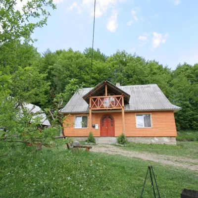 CottageCottage "U Horakh" BukovetsIzky4.4 km from the centreHot tubPoolSaunaNearby: Mt Gemba 6.3 kmShypit Waterfall 6.9 km2 trails
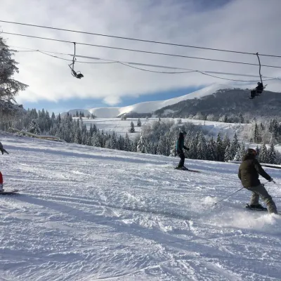 Ski resortSki Lifts and Trails of Eco-Resort "Izky"Izky6.2 km from the centreHot tubPoolSaunaNearby: Mt Gemba 5.2 kmShypit Waterfall 5.3 km14 trails
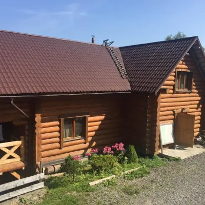 HotelMini-Hotel "Roksolana" IzkyIzky6.2 km from the centrePoolSaunaSPANearby: Mt Gemba 5.1 kmShypit Waterfall 5.2 km14 trails
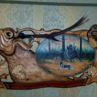 HomesteadHomestead "Hostynny Dvir" IzkyIzky6.3 km from the centreSaunaBBQKitchenNearby: St. Nicholas Church 100 mShypit Waterfall 7.3 km
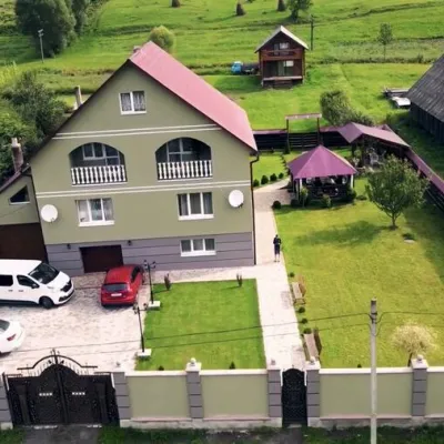 HomesteadHomestead "Chotyry Sezony" IzkyIzky6.4 km from the centreSaunaSPABBQNearby: St. Nicholas Church 100 mShypit Waterfall 7.2 km
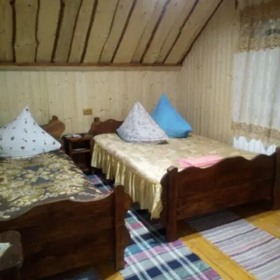 CottageCottage "Liliya" IzkyIzky6.5 km from the centreSaunaSPABBQNearby: St. Nicholas Church 1.2 kmShypit Waterfall 6.0 km6 trails
Trails nearby
All trails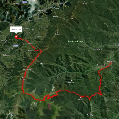 HardMulti-dayKerechky village to Rychka villagevia Mount Stiy, Mount Velykyi Verkh +2Elevation profile266–1 674 m48.3 kmascent 2 207 munder 1 km from the centre
 HardMulti-dayRychka village to Volovetsvia Mount Zhyd-Mahura, Mount Hemba +2Elevation profile450–1 597 m40.3 kmascent 2 156 munder 1 km from the centre
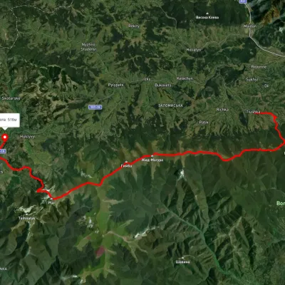 HardMulti-dayMarkedTiushka village to Volovetsvia Mount Zhyd-Mahura, Mount Hemba +1Elevation profile495–1 597 m35.2 kmascent 1 466 m≈ 11.5 h walking2.6 km from the centre
Peaks nearby
All peaks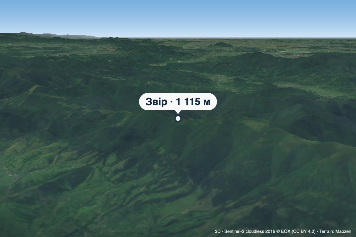 PeakMount ZvirTiushkaaltitude 1 115 m · Borzhava range3.7 km from the centreZvir (also called Zvor) is a 1,115 m summit on the main crest of Polonyna Borzhava in Zakarpattia Oblast.
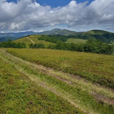 PeakMount Kychera (Mizhhiria)Potikaltitude 1 257 m · Borzhava range3.8 km from the centreKychera is a 1,257 m summit (other sources give 1,241 m; it is also described as Kichera-Kruhlan) on the main crest of Polonyna Borzhava in Zakarpattia Oblast.
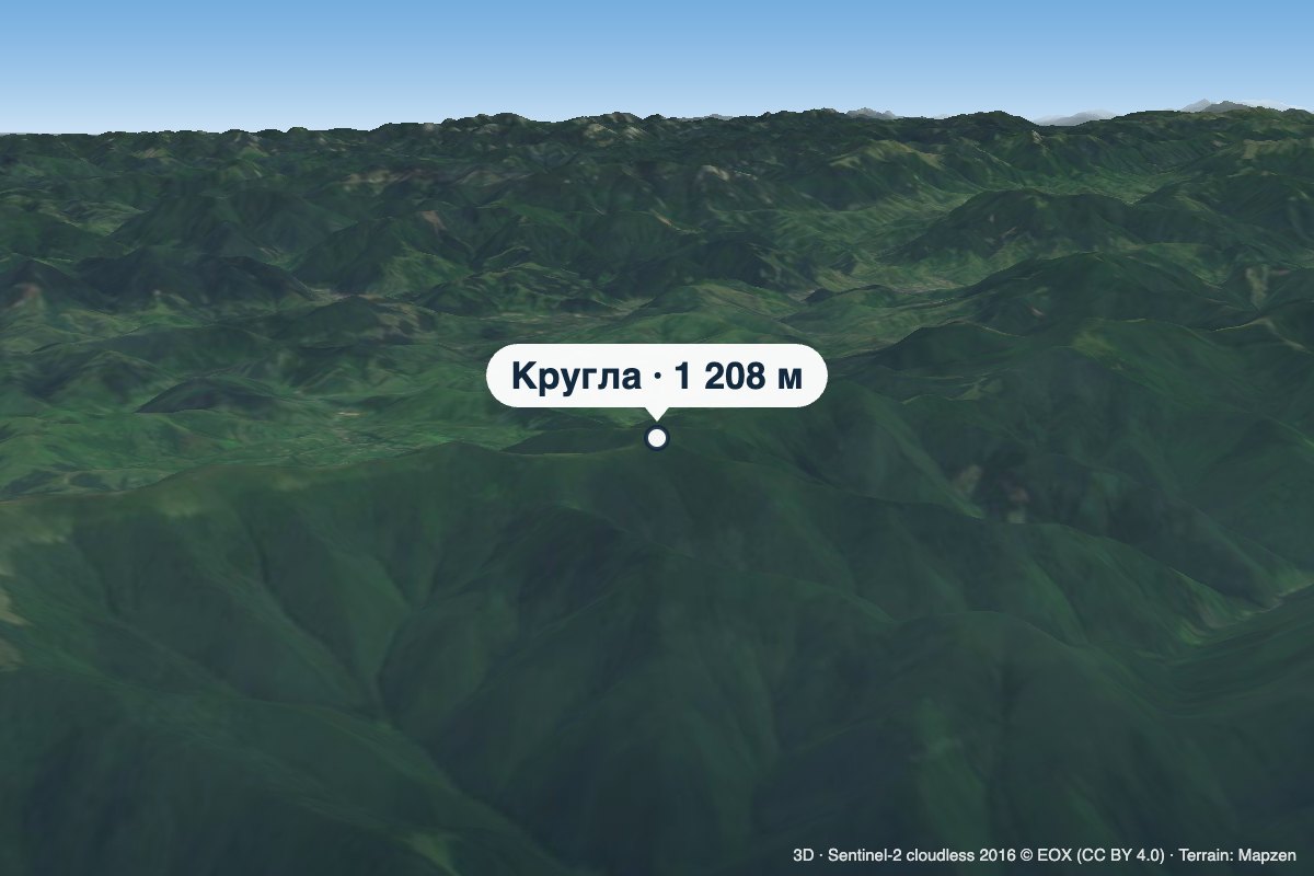 PeakMount KruhlaPotikaltitude 1 208 m · Borzhava range4.2 km from the centreKruhla is a 1,208 m summit on the main crest of Polonyna Borzhava in Zakarpattia Oblast, in its south-eastern part that descends towards Mizhhiria.
