Landscape
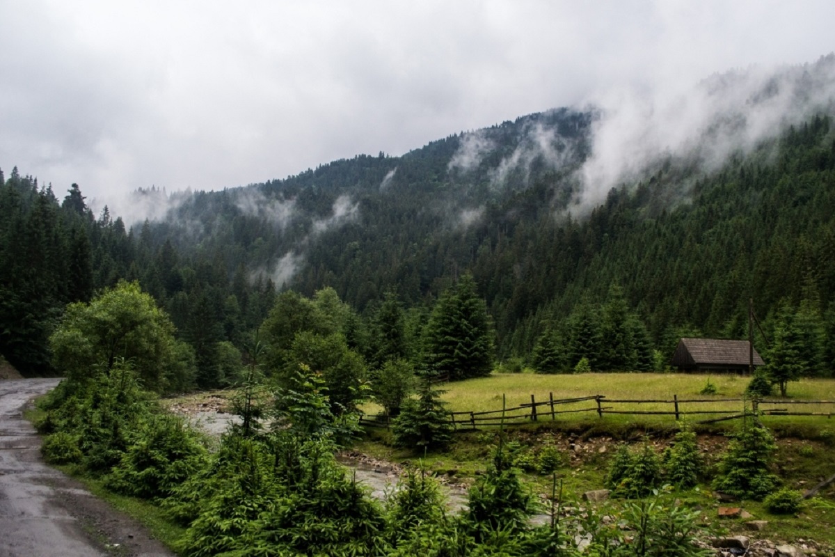
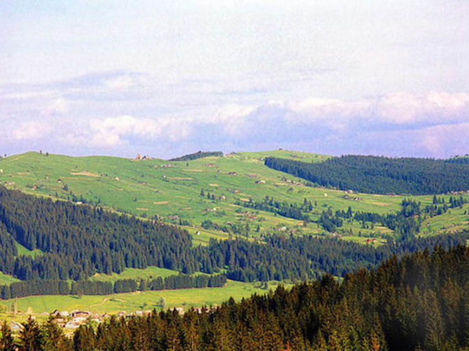
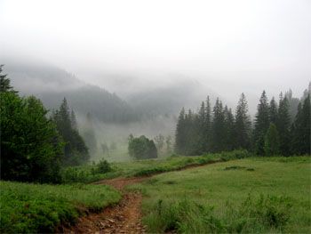
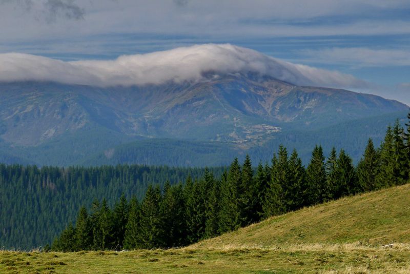
Synevyr (Mizhhirya) Pass
Mizhhirya, Zakarpattia region, Ukraine. Переглянути на карті
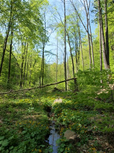
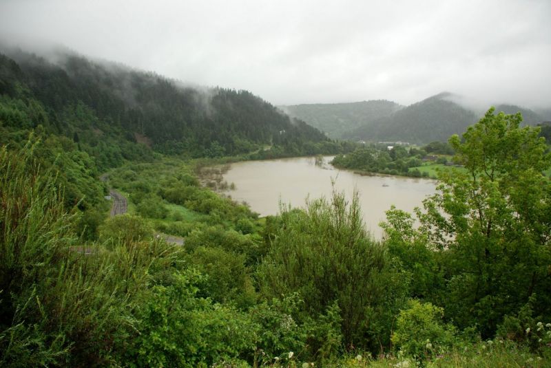
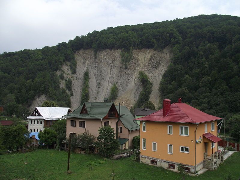
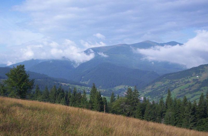
Dunavka
Sinyak, Zakarpattia region, Ukraine. Переглянути на карті
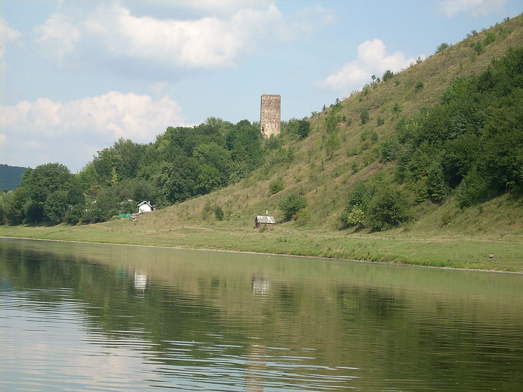
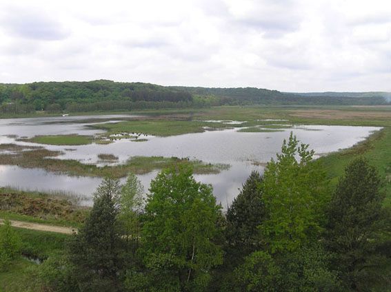
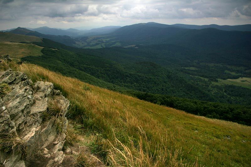
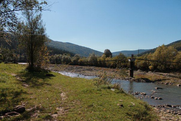
Dniester Regional Landscape Park
Tlumach, Tlumach district, Ivano-Frankivsk region, Ukraine. Переглянути на карті
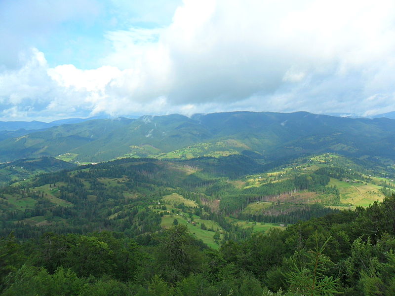
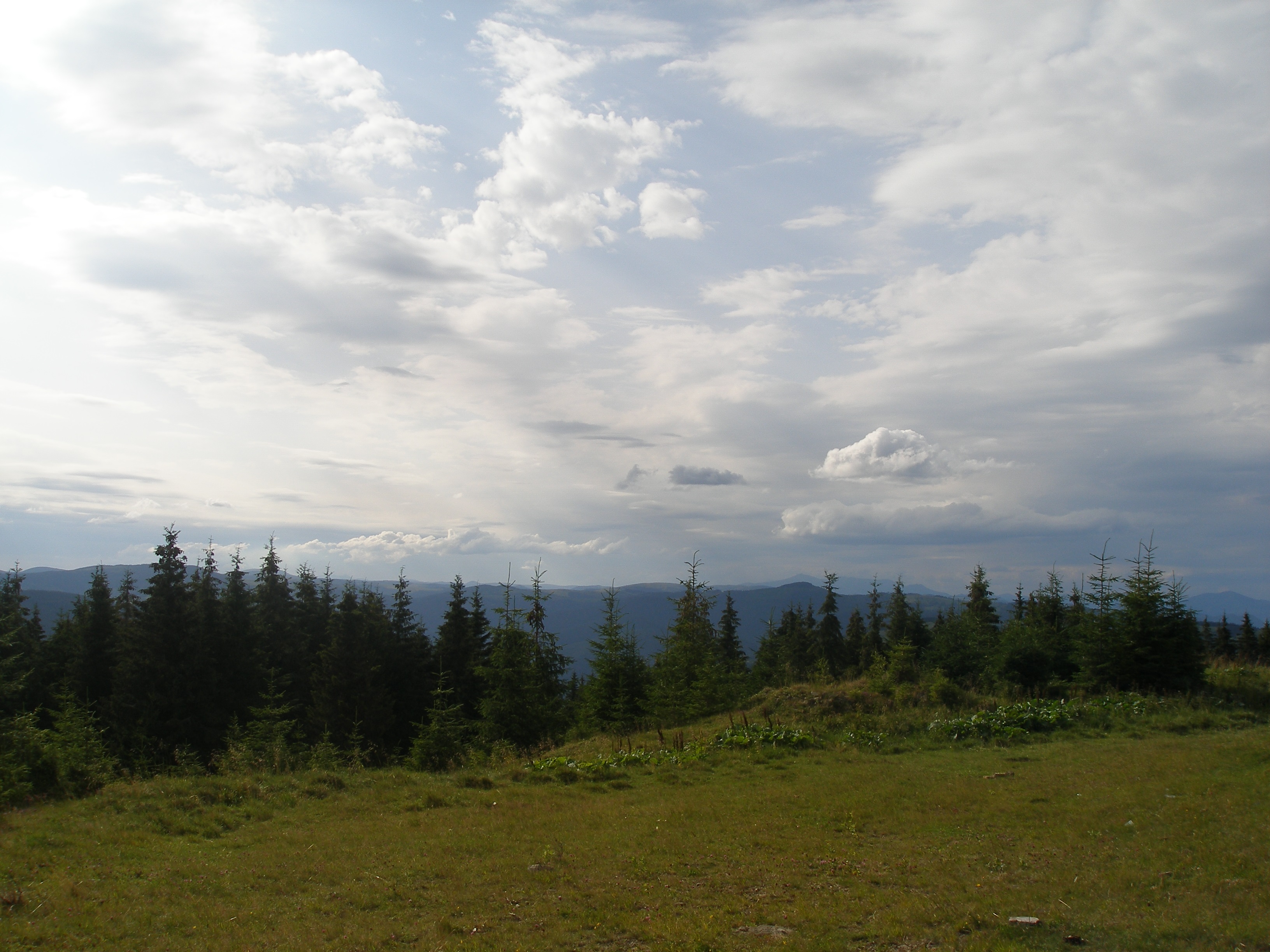
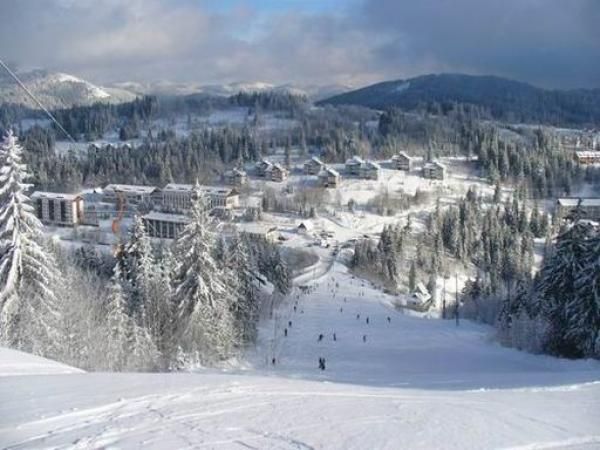
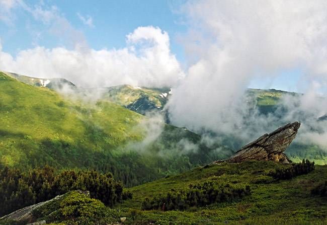
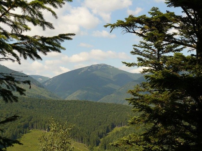
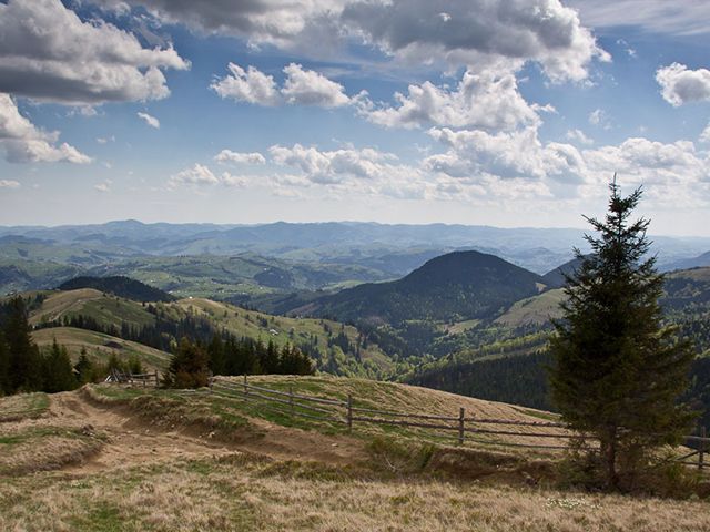
Vysoky Verkhovyna
Unnamed Road, Lviv region, Ukraine. Переглянути на карті
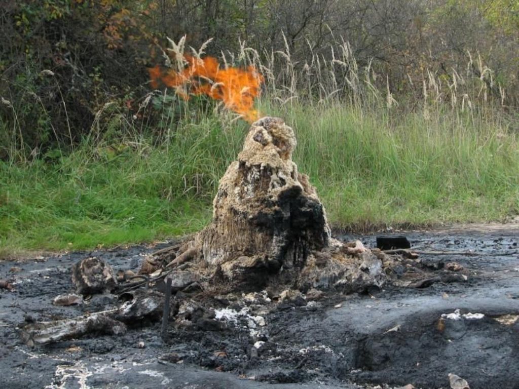
Mud volcano, Starunya
Starunia, Bohorodchany rayon, Ivano-Frankivsk oblast, Ukraine. Переглянути на карті
Dovbush trail in Yaremche
Yaremche, Ivano-Frankivsk region, Ukraine. Переглянути на карті
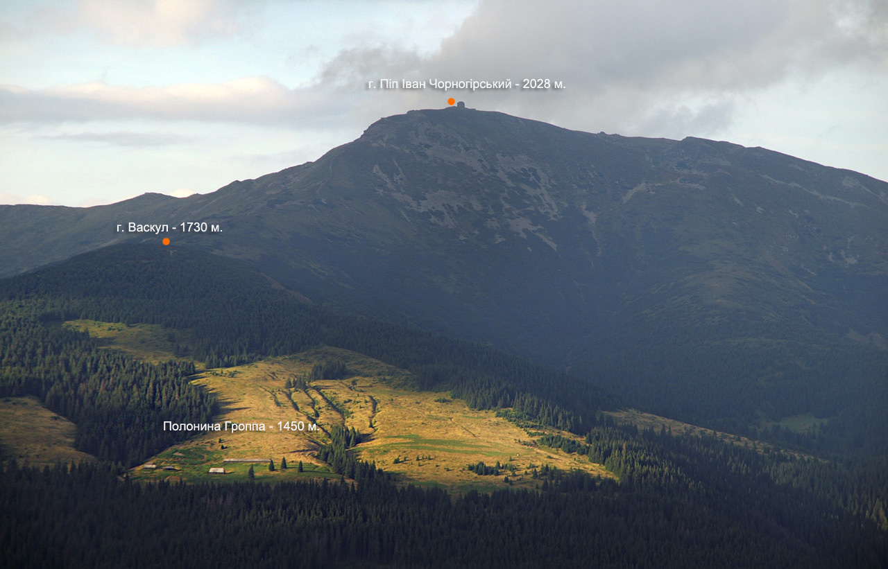
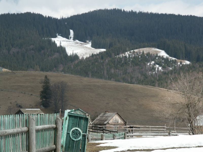
Mount Vaskul
Unnamed Road, Zakarpattia region, Ukraine. Переглянути на карті
Chorna Hora Nature Reserve in Vynogradiv
Kotsiubynskoho Street, Vynohradiv, Zakarpattia region, Ukraine, 90300. Переглянути на карті
Black Dil Nature Reserve Sarata
Sarata, Putyla rayon, Chernivtsi oblast, Ukraine. Переглянути на карті
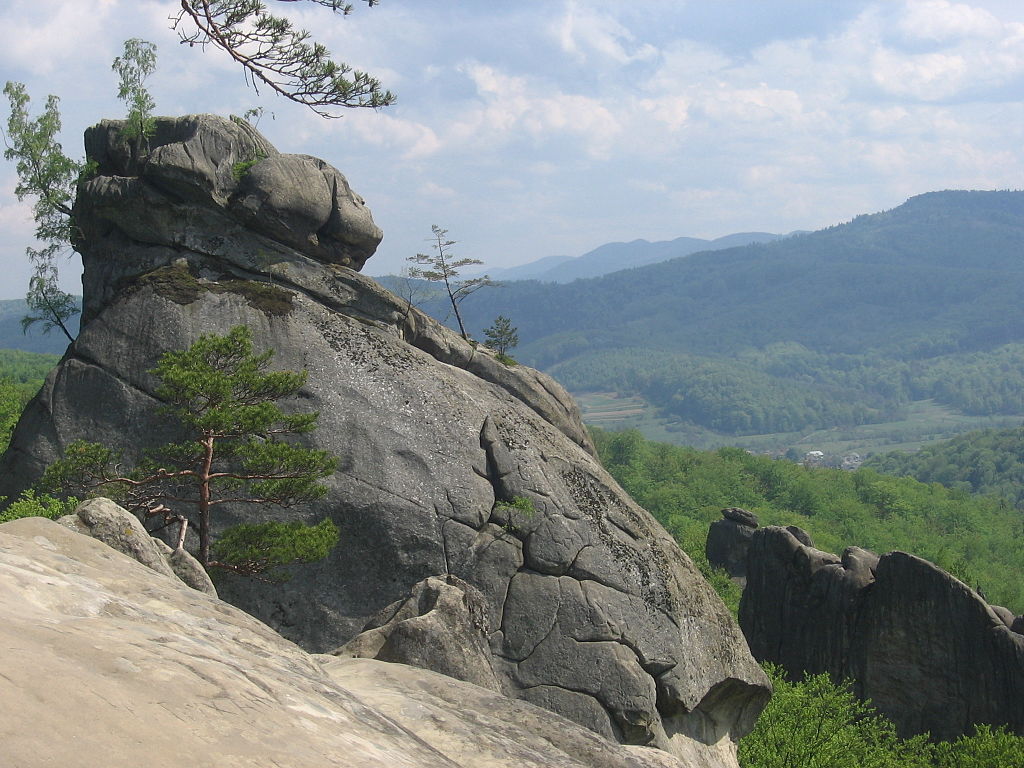
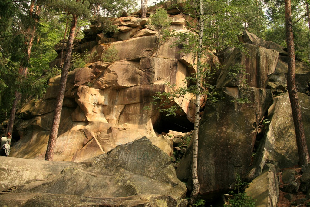
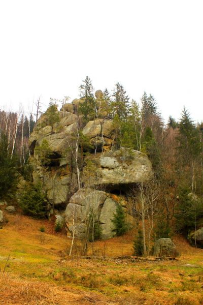
Dovbush's rocks in the village of Bubnyshche
Bubnyshche, Ivano-Frankivsk region, Ukraine. Переглянути на карті
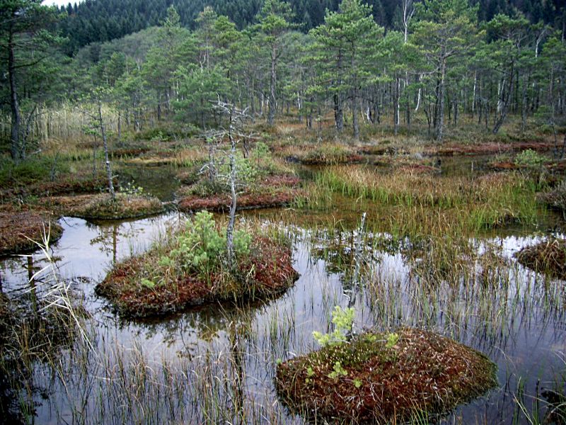
Shyrkovets Marsh, Novyi Mizun
Novyi Mizun, Ivano-Frankivsk region, Ukraine, 77543. Переглянути на карті
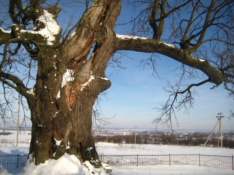
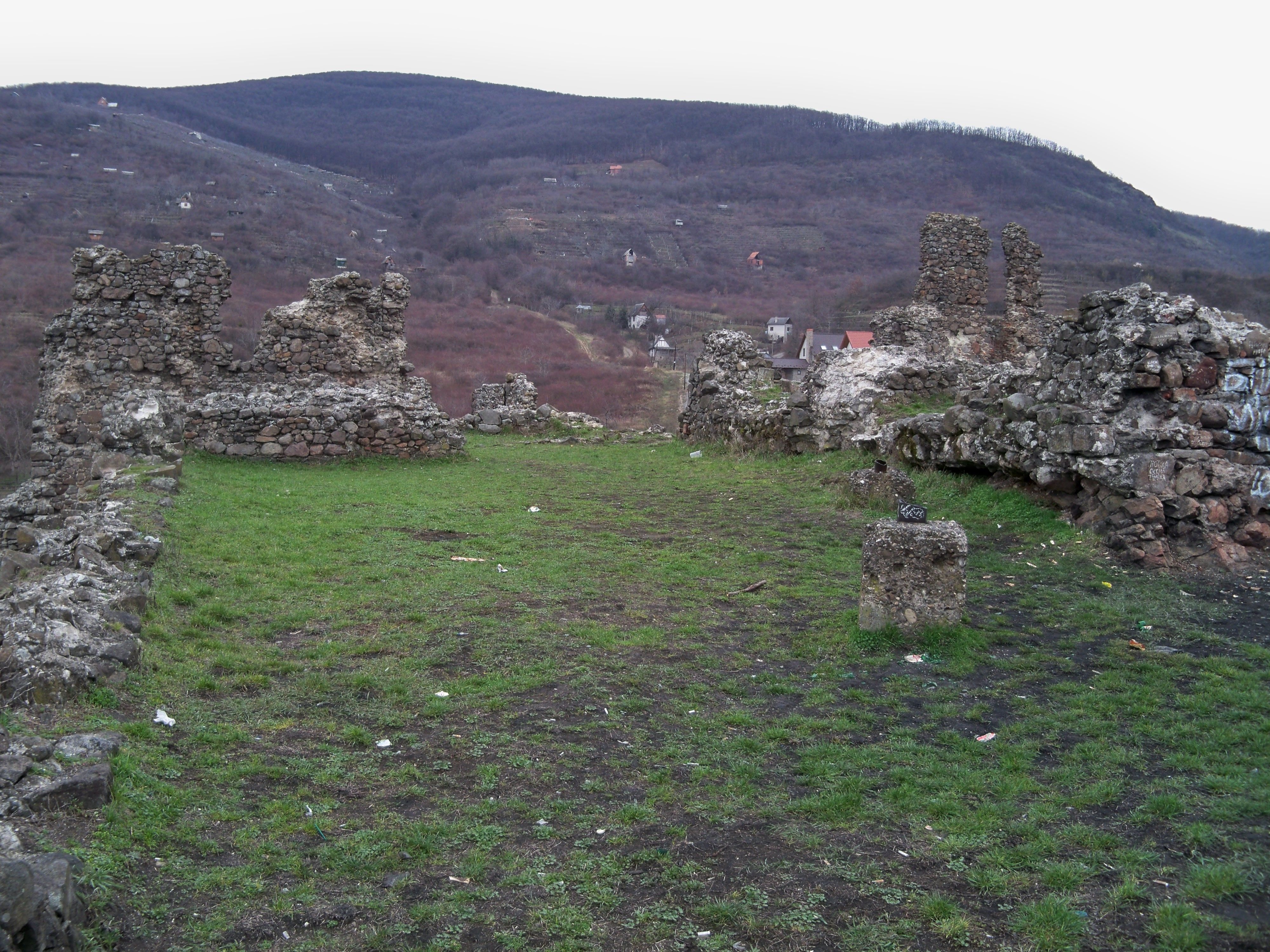
Duky Khmelnytsky, Pidhirne
Pidhirne, Lviv region, Ukraine. Переглянути на карті
National Nature Park "Vyzhnytskyi" Beregomet
27a Tsentralna Street, Berehomet, Chernivtsi region, Ukraine. Переглянути на карті
Rozluch Landscape Reserve
Rozluch, Lviv region, Ukraine, 82512. Переглянути на карті
Yavoriv National Nature Park
Ivano-Frankivsk, Lviv region, Ukraine. Переглянути на карті
Tysovets tract
Tysovets, Lviv region, Ukraine. Переглянути на карті
Gorgany Nature Reserve, Nadvirna
7 Komarova Street, Nadvirna, Ivano-Frankivsk Oblast, Ukraine. Переглянути на карті
Razlucha Ridge
Rozluch, Lviv region, Ukraine. Переглянути на карті
Elephant Rock, Yaremche
10, Pidskelna Street, Yaremche, Ivano-Frankivsk region, Ukraine, 78500. Переглянути на карті
Hutsulshchyna National Nature Park Kosiv
Hutsulshchyna National Nature Park, 84 Druzhby Street, Kosiv, Ivano-Frankivsk Oblast, Ukraine, 78600. Переглянути на карті
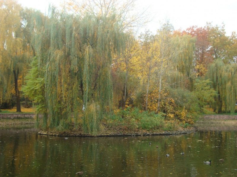
Taras Shevchenko Park of Culture and Recreation, Ivano-Frankivsk
104, Shevchenko Street, Ivano-Frankivsk, Ivano-Frankivsk region, Ukraine. Переглянути на карті
Grofa landscape reserve
Osmoloda, Ivano-Frankivsk region, Ukraine. Переглянути на карті
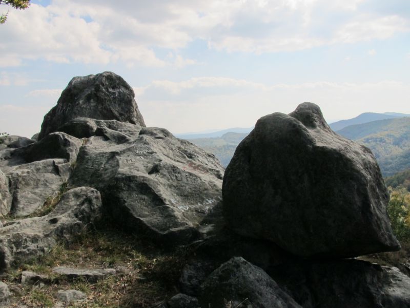
Ternoshorskaya Lada rock
Yavoriv, Kosiv district, Ivano-Frankivsk region, Ukraine. Переглянути на карті
Pavlovsky Stone
Knyazivske, Ivano-Frankivsk region, Ukraine. Переглянути на карті
Kostrich Ridge
Kryvopillia, Ivano-Frankivsk region, Ukraine. Переглянути на карті
Carpathian National Nature Park
Vasyl Stus Street, 6, Yaremche, Ivano-Frankivsk region, Ukraine. Переглянути на карті
Verkhovynskyi National Nature Park, Verkhniy Yaseniv
Pechyshche village, 1 s, Verkhniy Yaseniv, Ivano-Frankivsk region, Ukraine, 78710. Переглянути на карті
Kryvopillia Pass, Kryvopillia
Kryvopillia, Ivano-Frankivsk region, Ukraine, 78706. Переглянути на карті
Glade of Love, Yaremche
30a, I. Petrash Street, Yaremche, Ivano-Frankivsk region, Ukraine, 78500. Переглянути на карті
Bukovelian pass
Bukovets, Verkhovyna rayon, Ivano-Frankivsk oblast, Ukraine. Переглянути на карті