Lisa
Brașov County · Romania
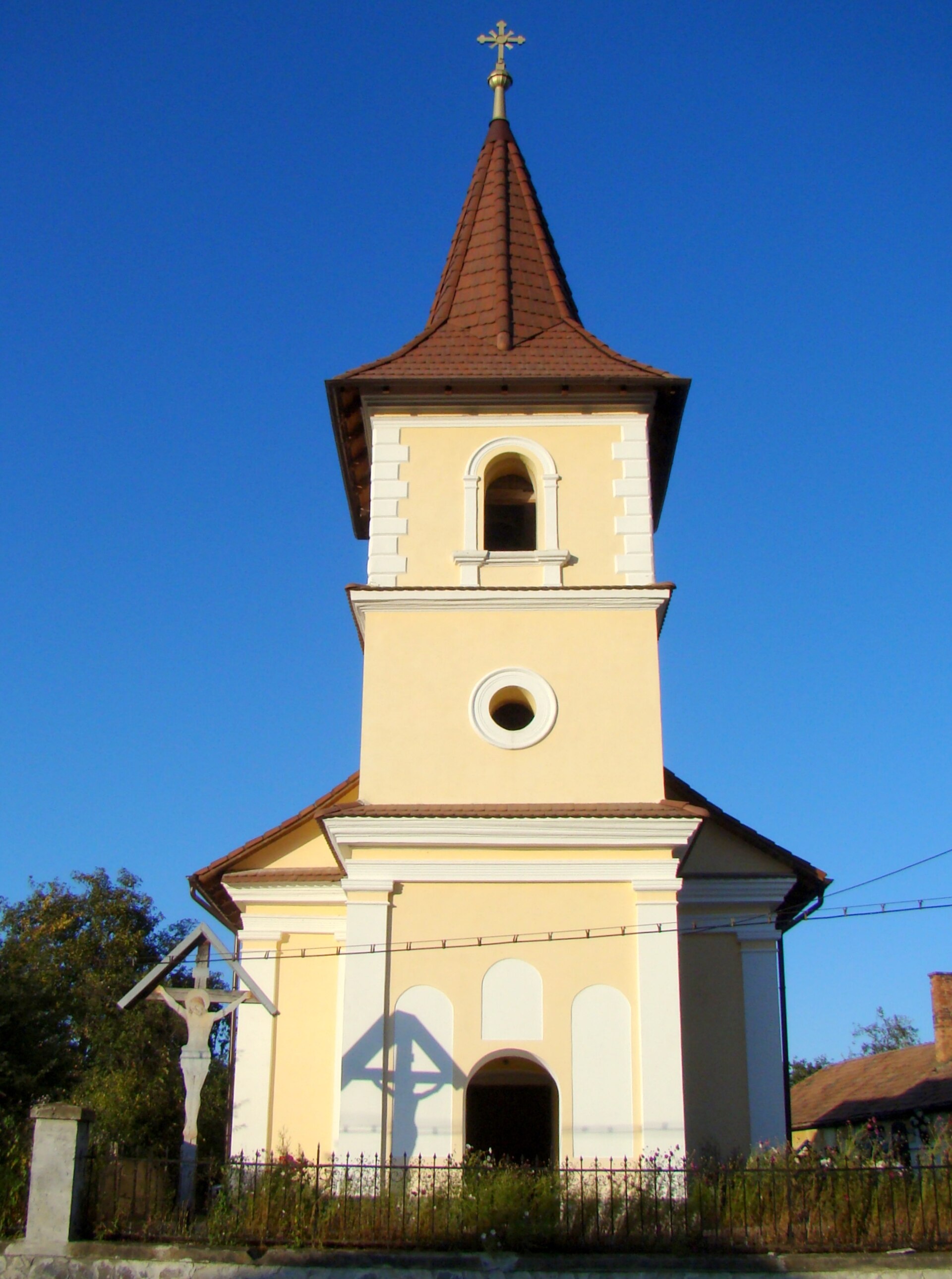
Photos: Țetcu Mircea Rareș, CC BY-SA 4.0 (Wikimedia Commons)
Lisa is a village in Romania.
Elevation: about 533 m above sea level. Population: 1,148 (2021). Mountains nearby: Southern Carpathians.
Here and nearby on the site: 1 trail.
Facts: Wikidata, OpenStreetMap. More on Wikipedia
What's nearby
Trails nearby
All trails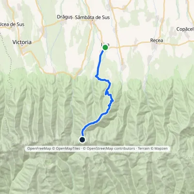 HardOne-dayMarkedLisa Făgăraș main ridgevia Cațaveiu RefugeElevation profile546–2 343 m19.7 kmascent 1 803 m≈ 8 h walkingunder 1 km from the centre
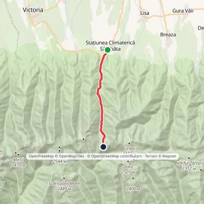 HardOne-dayMarkedSâmbăta Tourist Complex Fereastra Mare a SâmbeteiElevation profile667–2 177 m11.5 kmascent 1 511 m≈ 5.5 h walking5.2 km from the centre
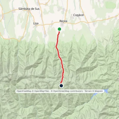 HardOne-dayMarkedDejani Curmătura BrătileiElevation profile586–2 121 m17 kmascent 1 541 m≈ 7 h walking6.3 km from the centre
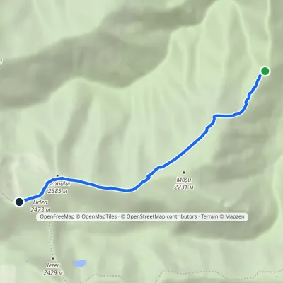 HardOne-dayMarkedFormer Urlea Hut Urlea PeakElevation profile1 505–2 473 m5.8 kmascent 968 m≈ 3 h walking11 km from the centre
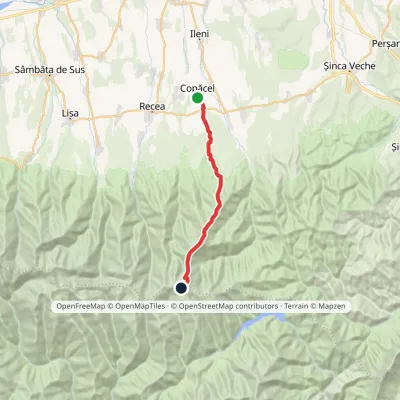 HardOne-dayMarkedCopăcel Făgăraș main ridgevia Berevoescu RefugeElevation profile521–2 286 m20.3 kmascent 1 895 m≈ 8 h walking11 km from the centre
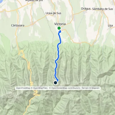 HardOne-dayMarkedVictoria Podragu HutElevation profile567–2 189 m15.6 kmascent 1 705 m≈ 6.5 h walking12 km from the centre
Peaks nearby
All peaks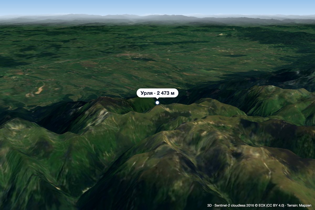 PeakUrleaStațiunea Climaterică Sâmbătaaltitude 2 473 m13 km from the centre2 trails to the topUrlea (Romanian Vârful Urlea) is a 2,473 m summit in the eastern part of the Făgăraș Mountains, on the border of Brașov and Argeș counties.
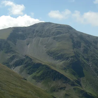 PeakDaraaltitude 2 500 m15 km from the centreDara (Romanian: Vârful Dara, Hungarian: Dara-csúcs) is a summit of about 2,500 m in the eastern part of the Făgăraș Mountains in the Southern Carpathians.
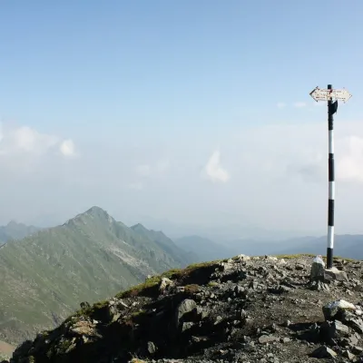 PeakViștea Marealtitude 2 527 m16 km from the centre1 trail to the topViștea Mare (Romanian: Vârful Viștea Mare, Hungarian: Nagy-Vist) is a 2,527 m summit on the main ridge of the Făgăraș Mountains in the Southern Carpathians.
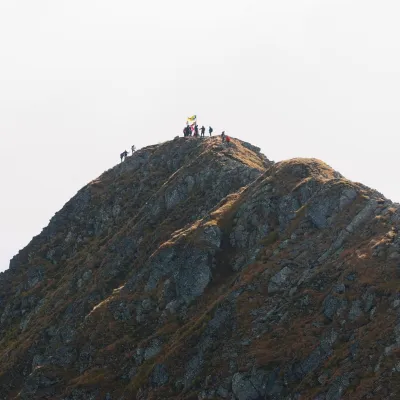 PeakMoldoveanualtitude 2 544 m17 km from the centre2 trails to the topMoldoveanu (Romanian: Vârful Moldoveanu) is the highest peak of Romania and of the whole Southern Carpathians, 2,544 m above sea level.
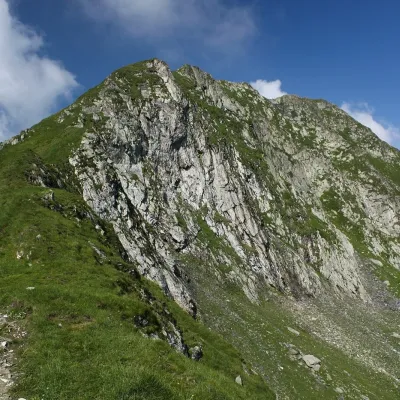 PeakPodragualtitude 2 462 m19 km from the centre1 trail to the topPodragu (Romanian Vârful Podragu) is a 2,462 m summit in the central Făgăraș Mountains, where the borders of three counties – Brașov, Argeș and Sibiu – meet.
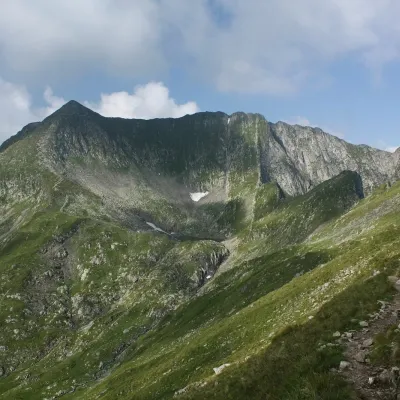 PeakMirciialtitude 2 470 m20 km from the centre1 trail to the topMircii (Romanian Vârful Mircii) is a 2,470 m summit in the central part of the Făgăraș Mountains, in Argeș County.
What to visit
All
Huts, shelters and springs nearby
Getting there from Ukraine
Border crossings
- Porubne – Siret — road and pedestrian, 24/7
- Diakivtsi – Racovăț — road and pedestrian, 24/7 No freight traffic.
- Krasnoilsk – Vicovu de Sus — road and pedestrian, 08:00–20:00 Cars up to 3.5 t and pedestrians only; not 24/7.
- Solotvyno – Sighetu Marmației — road and pedestrian, 24/7 Passenger traffic only: vehicles up to 3.5 t with up to 9 seats, pedestrians.
- Diakove – Halmeu — road, 24/7 No pedestrian crossing.
By car
Rakhiv – Sibiu ≈390 km, ≈5 h 33 min (via Solotvyno – Sighetu Marmației); Ivano-Frankivsk – Sibiu ≈524 km, ≈7 h 52 min (via Solotvyno – Sighetu Marmației); Chernivtsi – Sibiu ≈435 km, ≈8 h 00 min (via Diakivtsi – Racovăț). Times without border queues, our road routing (GraphHopper, OSM).
Checked 03.11.2026; border crossing hours and timetables change — check before you travel.
