Mircii
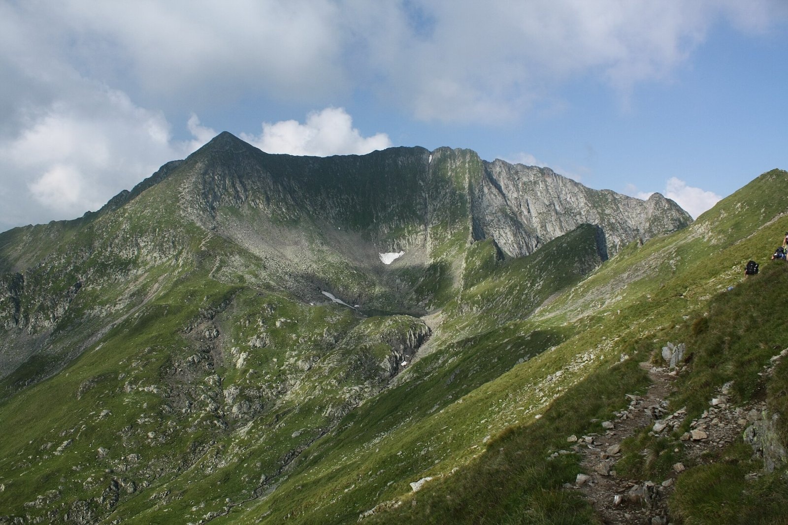
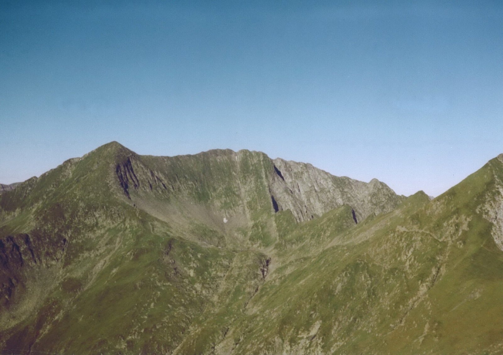
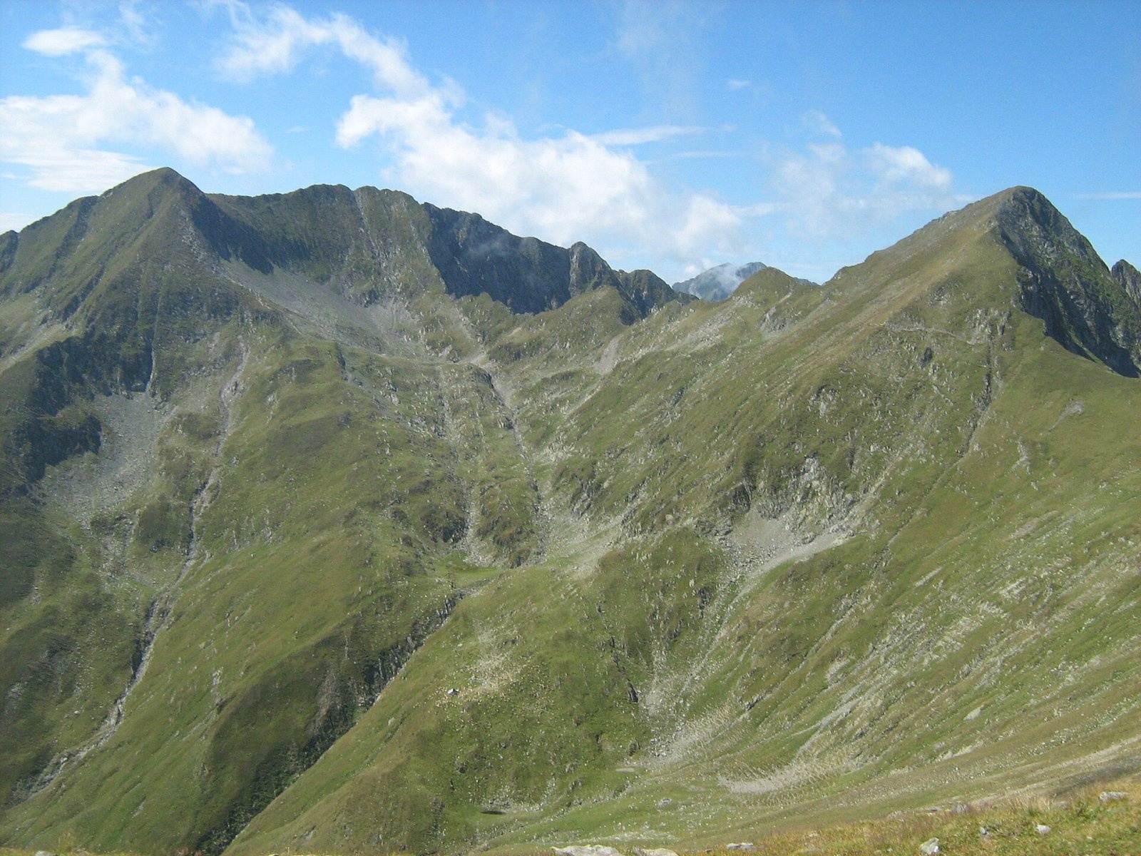
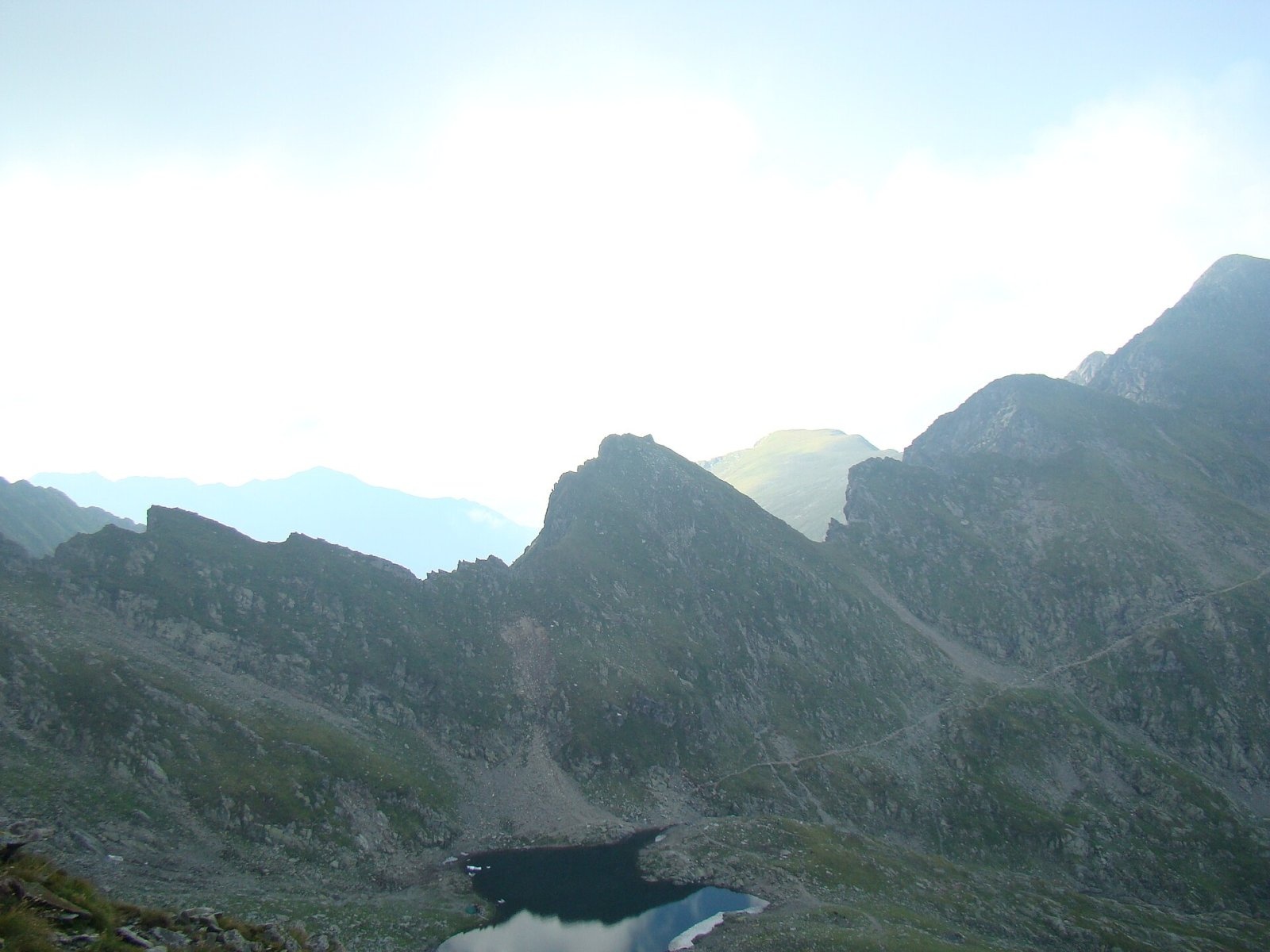
Mircii (Romanian Vârful Mircii) is a 2,470 m summit in the central part of the Făgăraș Mountains, in Argeș County. It stands right on the main ridge, which here also carries the E8 European long-distance path, between the Vârtopului saddle to the west and the Podragu saddle to the east. At its very foot, to the south-east, lies the glacial Lake Podu Giurgiului, which Munții Noștri also calls Lake Mircii, and a long spur, Piciorul Mircii, runs south from the summit and frames the Podu Giurgiului cirque.
According to Romanian Wikipedia, Mircii is climbed either from the neighbouring Arpașul Mare, which stands very close by, or from the Podragu side, from Lake Podu Giurgiului. Together with Podragu and Arpașul Mare it forms a trio of almost equally high summits, clearly seen from the Podu Giurgiului cirque.
How to get there / routes
The red-stripe ridge path crosses the summit. From the east it is reached from the Podragu saddle, where paths arrive from the Podragu hut, from the town of Victoria and from the Buda valley. From the saddle the path runs along the southern slope of Podragu to Lake Podu Giurgiului (2,270 m); according to Munții Noștri it is a good camping spot, and west of the lake there is a spring – one of the few on this section. By the lake you can see the ruins of the Podu Giurgiului shelter, destroyed by avalanches.
From the lake, steep zigzags on scree lead to the summit – Munții Noștri describes this slope as abrupt. From the west, from the Vârtopului saddle (2,287 m), a long climb leads to the top; you can cross the summit or bypass it on the north side. From the south the Podu Giurgiului cirque can also be reached from the Transfăgărășan road – by the forest road of the Buda valley to the Podu Giurgiului sheepfolds and then by the blue-triangle path up the Podu Giurgiului valley; according to Munții Noștri this route takes about 10 hours.
What you see from the summit
Captions of Munții Noștri photos taken on Mircii mention the view west to Negoiu and Lespezi and to Vânătarea lui Buteanu. Below the summit to the east lies the cirque with Lake Podu Giurgiului and beyond it Podragu; a little further east, by position, rise Viștea Mare and Moldoveanu, but the sources give no detailed description of the panorama.
Nature and history
Lake Podu Giurgiului belongs to the group of glacial lakes on the southern side of the Făgăraș – Romanian Wikipedia also lists Capra, Buda and Călțun among them. The cirque below Mircii is one of many in the central, highest part of the range. The Piciorul Mircii spur and the Scărișoara and Coastele Mari ridges, which branch off Moldoveanu, together outline the Podu Giurgiului cirque, clearly visible from the Podragu saddle.
The ruined shelter by the lake is a reminder of the avalanches that come down into the cirques below the ridge in winter. In the Buda valley below the cirque there are sheepfolds, so in summer flocks graze here and you may meet sheepdogs.
Safety, season and rules
The Făgăraș ridge is the Natura 2000 site “Munții Făgăraș” (ROSCI0122), not a national park; follow its regulations and keep to marked paths. The descent from the summit to the lake is steep scree – take special care in rain and fog. Munții Noștri considers the ridge route inaccessible in winter: snow hides the waymarks and avalanches sweep the cirques – follow the bulletin at meteoromania.ro. In summer beware of thunderstorms on the open ridge and carry water: springs are few and, according to Munții Noștri, can be hard to find.
Bears are common in the Făgăraș. Call out, do not keep food in your tent by the lake, and do not run from dogs near sheepfolds – shield yourself with your rucksack. In an emergency call the national dispatch 0SALVAMONT – 0725 826 668 or 112; advice is on the Salvamont România website.
Photos: This image is a work by Mercy. When reusing, please credit me as: Mercy from Wikimedia Commons. I would appreciate being, CC BY-SA 3.0; Hardsr, Public domain; Cioboata Andrei, CC BY 3.0; The original uploader was AnaZ at Romanian Wikipedia., CC BY 2.5 — Wikimedia Commons.
Getting there from Ukraine
Border crossings
- Porubne – Siret — road and pedestrian, 24/7
- Diakivtsi – Racovăț — road and pedestrian, 24/7 No freight traffic.
- Krasnoilsk – Vicovu de Sus — road and pedestrian, 08:00–20:00 Cars up to 3.5 t and pedestrians only; not 24/7.
- Solotvyno – Sighetu Marmației — road and pedestrian, 24/7 Passenger traffic only: vehicles up to 3.5 t with up to 9 seats, pedestrians.
- Diakove – Halmeu — road, 24/7 No pedestrian crossing.
By car
Rakhiv – Sibiu ≈390 km, ≈5 h 33 min (via Solotvyno – Sighetu Marmației); Ivano-Frankivsk – Sibiu ≈524 km, ≈7 h 52 min (via Solotvyno – Sighetu Marmației); Chernivtsi – Sibiu ≈435 km, ≈8 h 00 min (via Diakivtsi – Racovăț). Times without border queues, our road routing (GraphHopper, OSM).
Checked 03.11.2026; border crossing hours and timetables change — check before you travel.
Location on the map
Water and shelter nearby
- Sursa Lac Spring290 m · Not verified · 2 262 m
- Spring below Mircii420 m · Not verified · 2 235 m
- Spring below Podragu (south slope)660 m · Not verified · 2 297 m
- Spring below Podragu (north slope)1.6 km · Not verified · 2 073 m
- Podragu Hut1.7 km · Standing · 2 086 m
- Spring below Corabia (south-west slope), 2 163 m2 km · Not verified · 2 163 m
- Fereastra Zmeilor Hut, 2 047 m2.4 km · Not verified · 2 047 m
- Fereastra Zmeilor Hut, 2 050 m2.4 km · Not verified · 2 050 m
- Spring below Vf. La Pârâul Cheii2.4 km · Not verified · 1 801 m
- Spring below Râiosu2.5 km · Not verified · 1 443 m
- Spring below Turnul Vârtopel (south slope), 1 821 m2.7 km · Not verified · 1 821 m
- Spring below Turnul Vârtopel (south slope), 1 785 m2.8 km · Not verified · 1 785 m
- Spring below Picuiata2.9 km · Not verified · 1 382 m
Wildlife nearby
AllComments
Nearby attractions
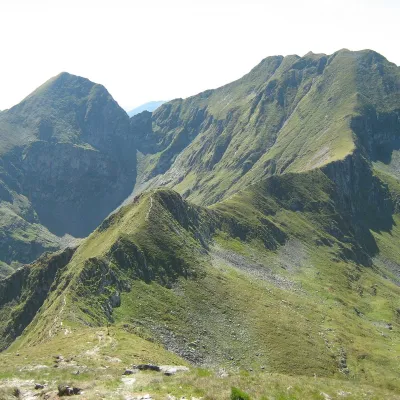 PeakArpașul Marealtitude 2 468 munder 1 km from MirciiArpașul Mare (Romanian Vârful Arpașul Mare, also Arpașu Mare or Vârtopul) is a 2,468 m summit on the main ridge of the Făgăraș Mountains, on the border of Sibiu and...
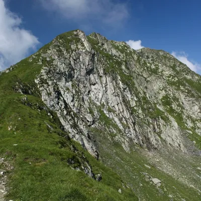 PeakPodragualtitude 2 462 munder 1 km from MirciiPodragu (Romanian Vârful Podragu) is a 2,462 m summit in the central Făgăraș Mountains, where the borders of three counties – Brașov, Argeș and Sibiu – meet.
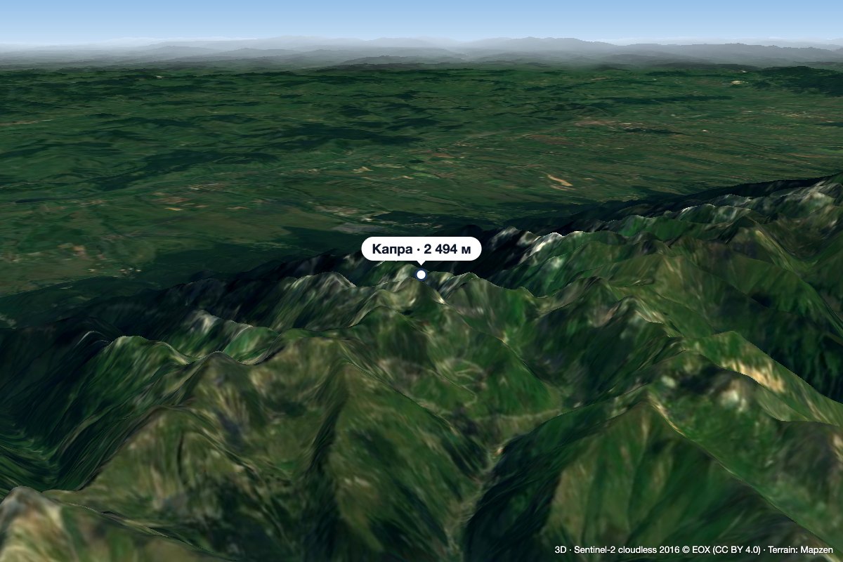 PeakCapra (Făgăraș)altitude 2 494 m3.8 km from MirciiCapra (Romanian: Vârful Capra, Hungarian: Zerge-csúcs, «Chamois Peak») is a 2,494 m summit in the Făgăraș Mountains of the Southern Carpathians, above Lake Bâlea and...
