Podragu
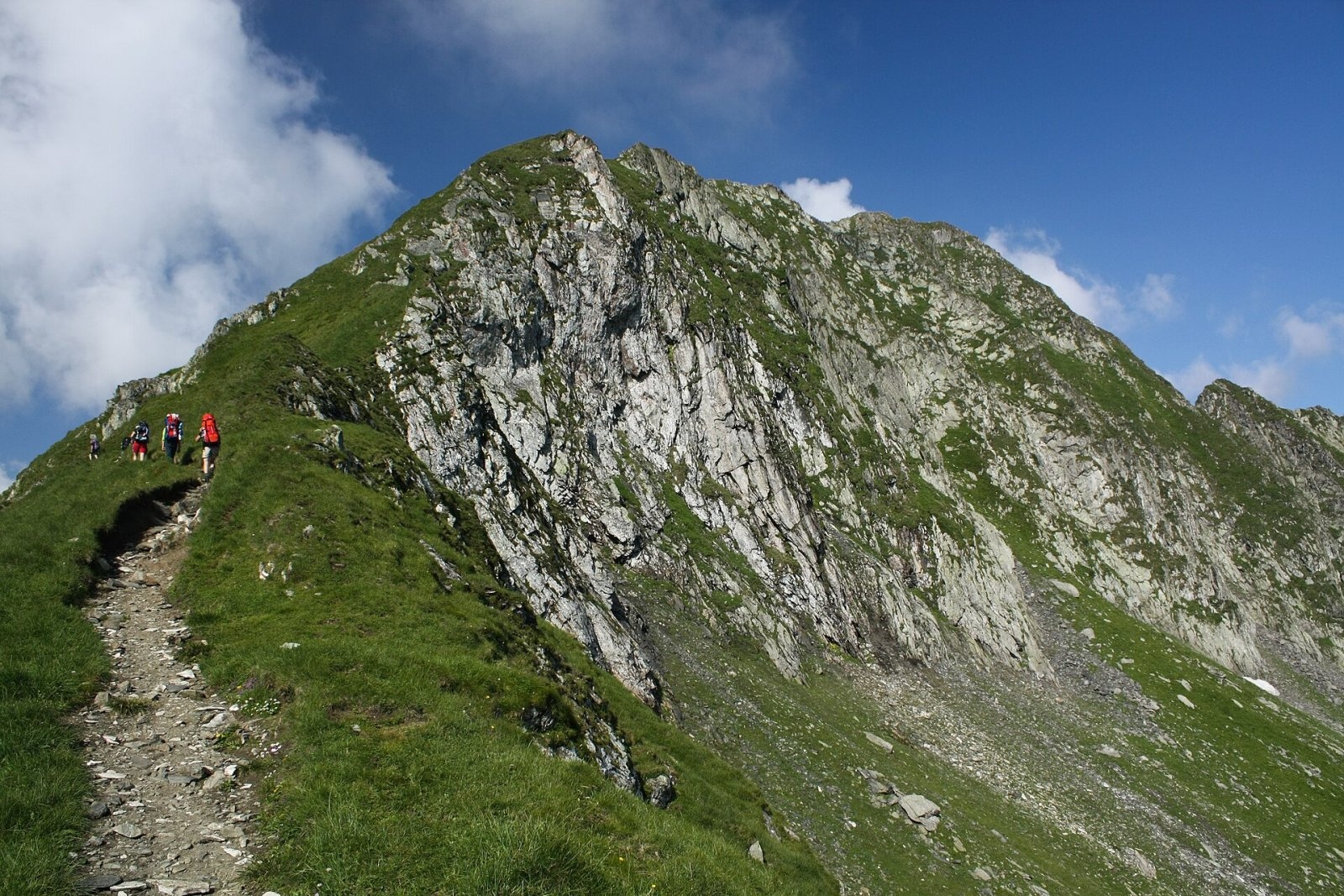
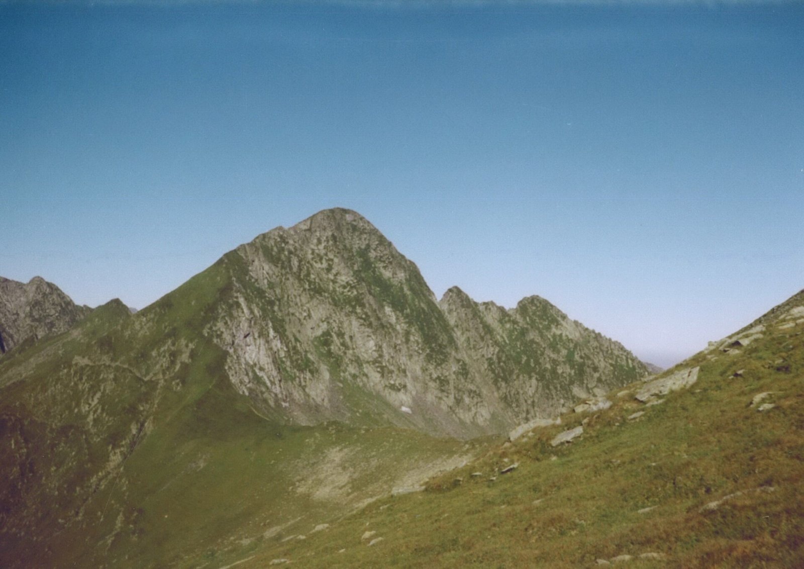
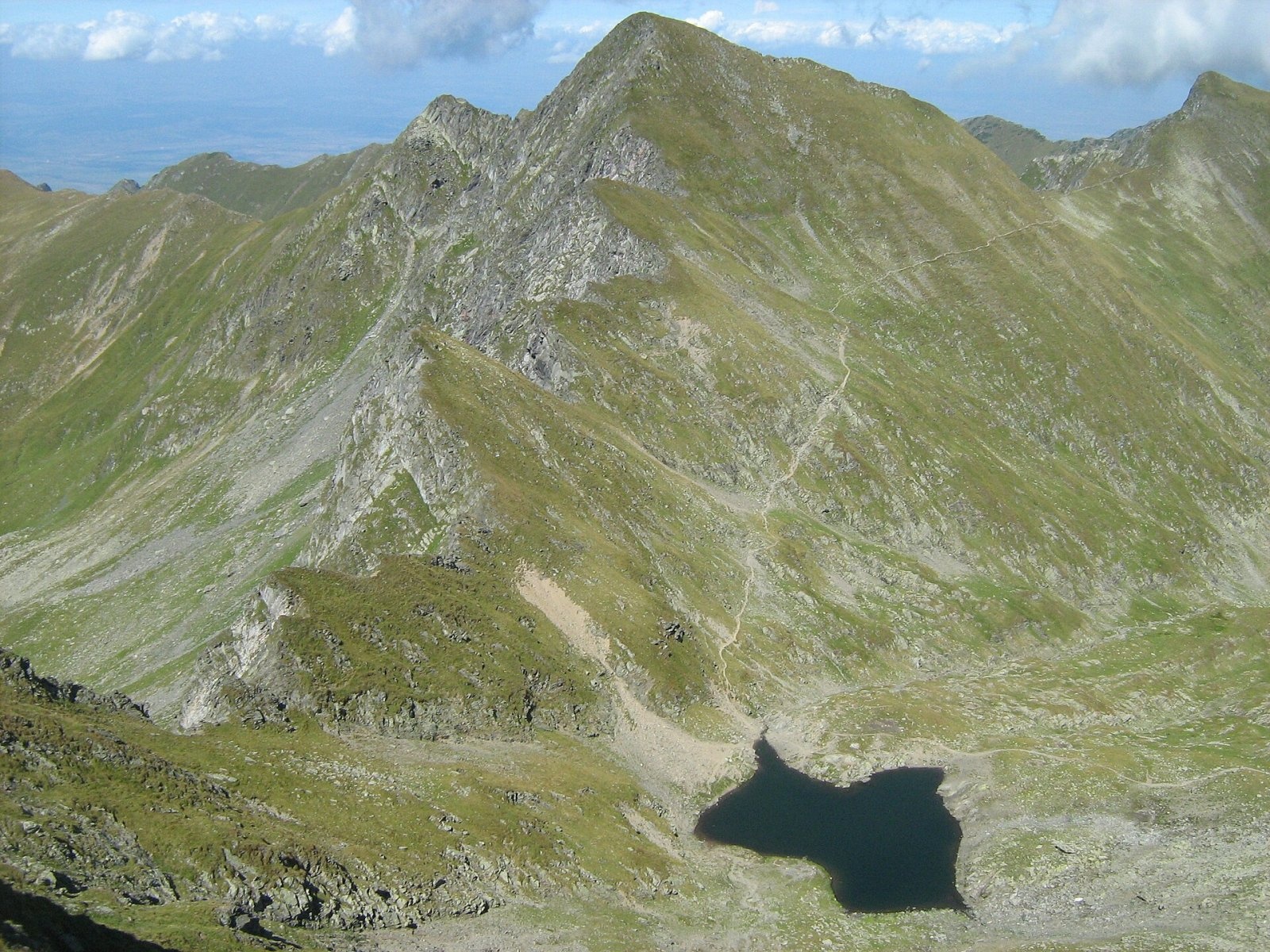
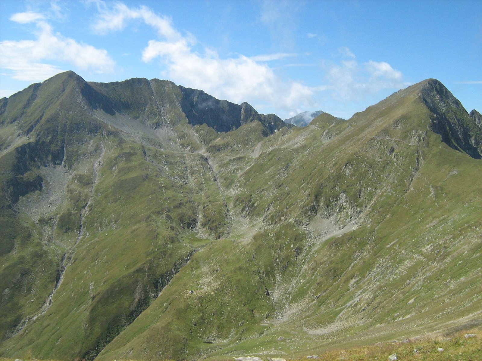
Podragu (Romanian Vârful Podragu) is a 2,462 m summit in the central Făgăraș Mountains, where the borders of three counties – Brașov, Argeș and Sibiu – meet. Beneath its north-east face lies a cirque with the Podragu lakes and the highest hut in the Făgăraș, while to the south the peak falls away to the Podu Giurgiului cirque. Podragu stands between Mircii to the west and Viștea Mare and Moldoveanu to the east, which are already very close from here.
According to Romanian Wikipedia, no waymarked path leads to the summit itself, and climbing it is harder than its neighbours. The main ridge route, however, passes just below it, and the Podragu saddle is one of the most important trail junctions in the whole range.
How to get there / routes
Here the main ridge path (red stripe) skirts the peak on its southern slope: from Lake Mircii (Podu Giurgiului) it climbs gently to the Podragu saddle (about 2,300 m). From the north a red triangle leads to the saddle from the town of Victoria: up the Arpaș valley to the Turnuri hut and the Podragu hut, then onto the cirque step and, from the small cirque below the ridge, along the north-east face of Podragu on a ledge-like path and through a chimney into the saddle. According to Munții Noștri it is a difficult route of about 9 hours; in winter it is recommended only as far as the Turnuri hut.
Another northern route, the blue stripe, runs from Victoria along the Tărâța ridge (Muchia Tărâța) to the Podragu hut – 6–8 hours according to the same source, partly exposed and demanding good route-finding. From the south a blue triangle climbs to the saddle from the Transfăgărășan road up the Buda valley – a long route of about 10 hours with more than 2,300 m of height difference. Those who want the summit itself go up from the saddle without waymarks.
What you see from the summit
The sources do not describe the view from the summit itself. From the Podragu saddle, according to Munții Noștri, you look over the Podu Giurgiului cirque with the Mircii spur, the Scărișoara ridge branching off Moldoveanu and the Coastele Mari ridge with Picuiata peak; to the north you see the cirques and valleys of Podragu and Ucea Mare, the Gârdomanu ridge and Corabia peak.
Nature and history
Lake Podragu lies in a glacial cirque between the Podragu and Tărâța spurs at 2,140 m. According to Romanian Wikipedia it covers more than 3 ha and is up to 16.4 m deep; its overflow runs in a stream into the smaller Lake Podragu Mic, and it holds trout. There are four lakes in the cirque, and lower down the water drops over the two-step Podragu waterfall, about 15 m high.
The Podragu hut (2,136 m) is the highest hut in the Făgăraș. As early as 1885 the SKV built a stone shelter by the lake that soon collapsed; the present hut dates from 1948–1949 and, according to Munții Noștri, is still supplied by donkeys. The peak marks the eastern end of the “Alpine zone of the Făgăraș between Podragu and Suru” nature reserve (about 6,989 ha, designated in 2000). It protects glacial lakes, cirques and alpine meadows with edelweiss, Kotschy's rhododendron and Daphne blagayana, as well as bear, chamois, red deer, wolf, lynx and capercaillie.
Safety, season and rules
The Făgăraș ridge is not a national park but the Natura 2000 site “Munții Făgăraș” (ROSCI0122) with its own regulations; the reserve calls for extra care – do not leave the paths. In winter the Podragu hut is closed, and the section from the hut to the saddle needs winter equipment and depends on snow conditions. Snow hides the waymarks and avalanches come down the steep slopes – check the bulletin at meteoromania.ro. In summer beware of thunderstorms and fog on the ridge.
Bears are common in the Făgăraș; Munții Noștri specifically warns of them in the wild Arpaș valley. Stay on marked paths, call out, do not keep food in your tent and do not run from dogs near sheepfolds. In an emergency call the national dispatch 0SALVAMONT – 0725 826 668 or 112; advice is on the Salvamont România website.
Photos: This image is a work by Mercy. When reusing, please credit me as: Mercy from Wikimedia Commons. I would appreciate being, CC BY-SA 3.0; Hardsr, Public domain; Cioboata Andrei, CC BY 3.0; Cioboata Andrei, CC BY 3.0 — Wikimedia Commons.
Getting there from Ukraine
Border crossings
- Porubne – Siret — road and pedestrian, 24/7
- Diakivtsi – Racovăț — road and pedestrian, 24/7 No freight traffic.
- Krasnoilsk – Vicovu de Sus — road and pedestrian, 08:00–20:00 Cars up to 3.5 t and pedestrians only; not 24/7.
- Solotvyno – Sighetu Marmației — road and pedestrian, 24/7 Passenger traffic only: vehicles up to 3.5 t with up to 9 seats, pedestrians.
- Diakove – Halmeu — road, 24/7 No pedestrian crossing.
By car
Rakhiv – Sibiu ≈390 km, ≈5 h 33 min (via Solotvyno – Sighetu Marmației); Ivano-Frankivsk – Sibiu ≈524 km, ≈7 h 52 min (via Solotvyno – Sighetu Marmației); Chernivtsi – Sibiu ≈435 km, ≈8 h 00 min (via Diakivtsi – Racovăț). Times without border queues, our road routing (GraphHopper, OSM).
Checked 03.11.2026; border crossing hours and timetables change — check before you travel.
Location on the map
Water and shelter nearby
- Spring below Podragu (south slope)320 m · Not verified · 2 297 m
- Spring below Mircii560 m · Not verified · 2 235 m
- Spring below Podragu (north slope)680 m · Not verified · 2 073 m
- Sursa Lac Spring680 m · Not verified · 2 262 m
- Podragu Hut700 m · Standing · 2 086 m
- Spring below Vf. La Pârâul Cheii1.6 km · Not verified · 1 801 m
- Spring below Corabia (south-west slope), 2 163 m1.6 km · Not verified · 2 163 m
- Turnuri Hut2.5 km · Standing · 1 520 m
- Fereastra Zmeilor Hut, 2 047 m2.8 km · Not verified · 2 047 m
- Fereastra Zmeilor Hut, 2 050 m2.8 km · Not verified · 2 050 m
Wildlife nearby
AllComments
Nearby attractions
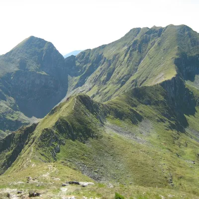 PeakArpașul Marealtitude 2 468 munder 1 km from PodraguArpașul Mare (Romanian Vârful Arpașul Mare, also Arpașu Mare or Vârtopul) is a 2,468 m summit on the main ridge of the Făgăraș Mountains, on the border of Sibiu and...
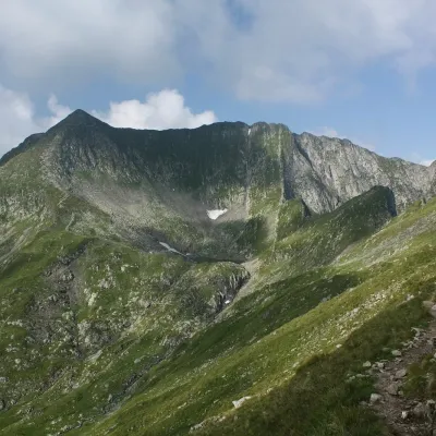 PeakMirciialtitude 2 470 munder 1 km from PodraguMircii (Romanian Vârful Mircii) is a 2,470 m summit in the central part of the Făgăraș Mountains, in Argeș County.
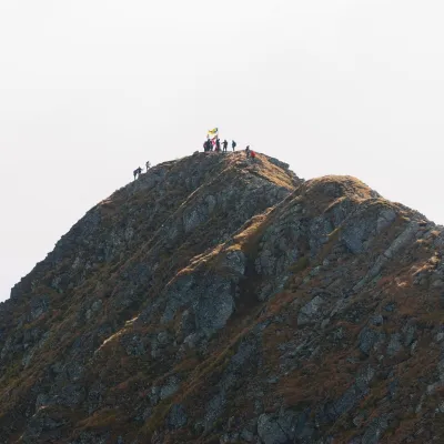 PeakMoldoveanualtitude 2 544 m4 km from PodraguMoldoveanu (Romanian: Vârful Moldoveanu) is the highest peak of Romania and of the whole Southern Carpathians, 2,544 m above sea level.
