Moldoveanu
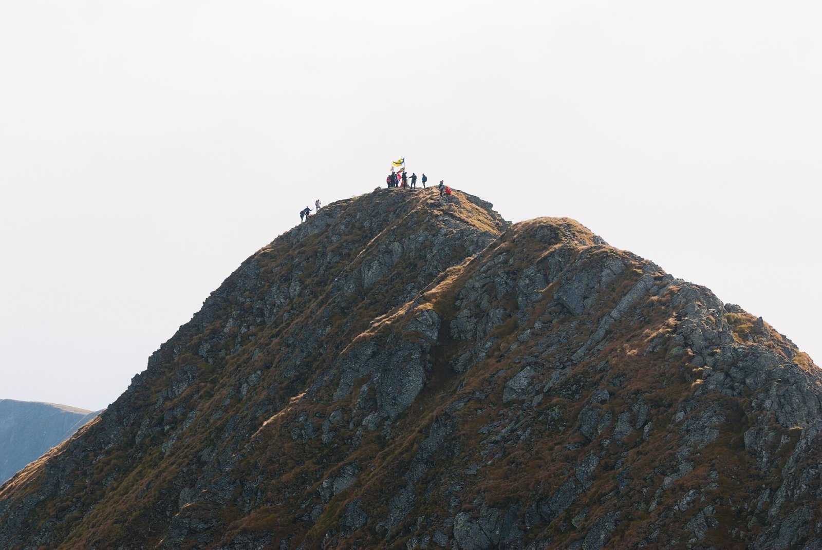
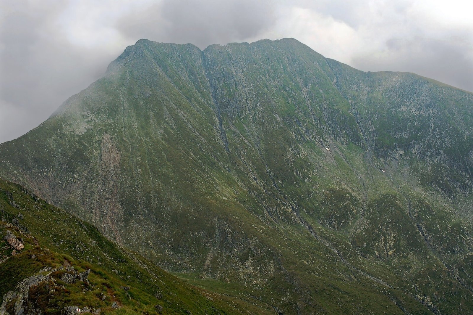
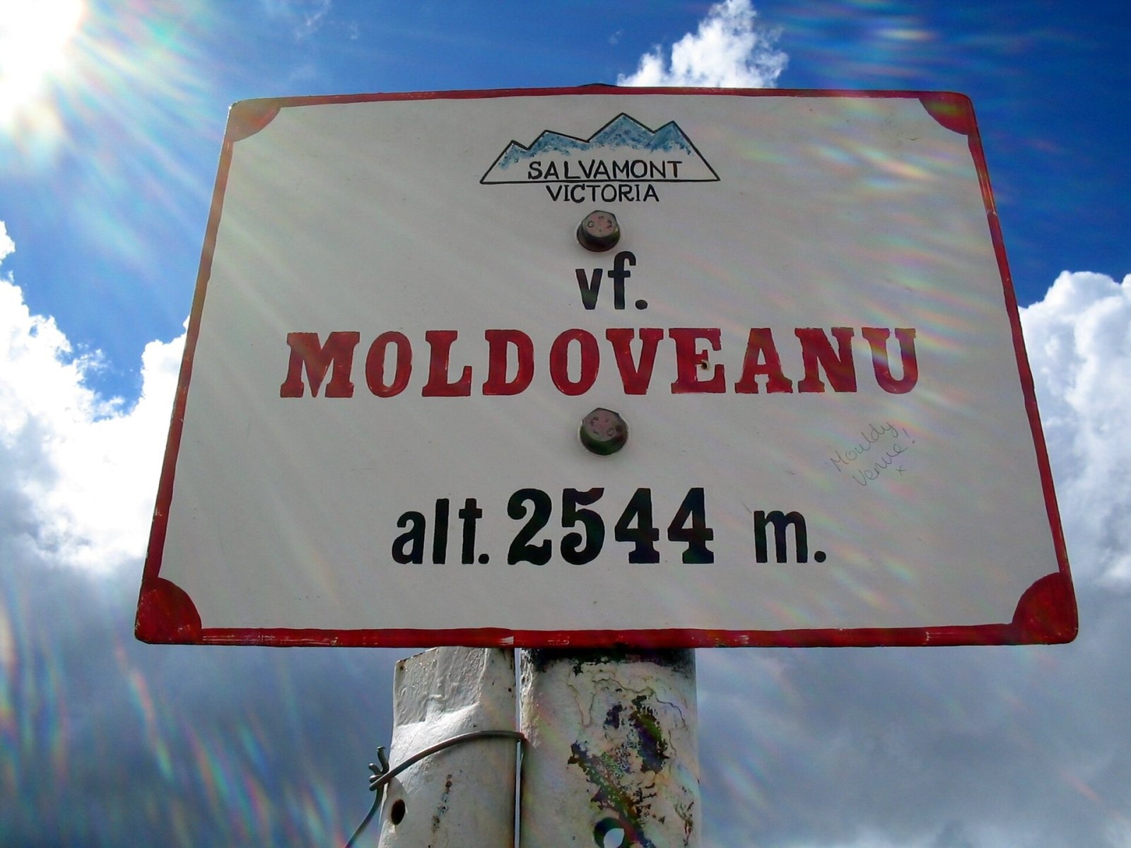
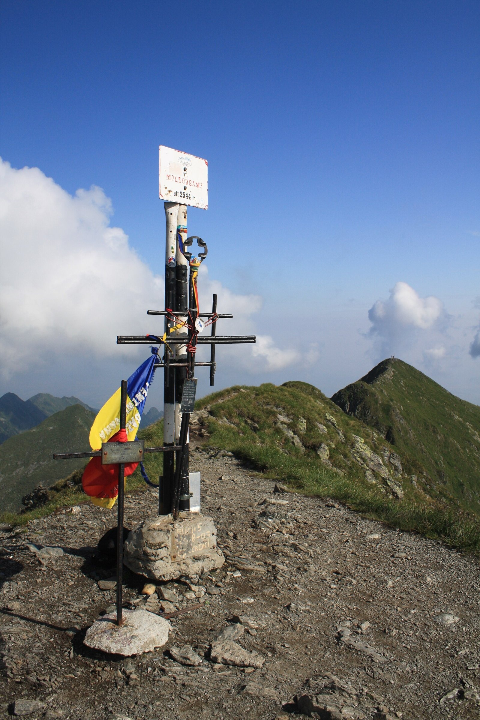
Moldoveanu (Romanian: Vârful Moldoveanu) is the highest peak of Romania and of the whole Southern Carpathians, 2,544 m above sea level. It rises in the central part of the Făgăraș Mountains, in Argeș County, roughly halfway between Sibiu and Brașov. The summit does not sit on the main ridge itself but slightly to the south, on a short side spur running from neighbouring Viștea Mare (2,527 m). As Romanian Wikipedia notes, this is why Moldoveanu cannot be seen from the Făgăraș Depression to the north: surrounded by other tops above 2,400 m, it shows itself only from the ridge or from the air. Its prominence exceeds 2,000 m, which makes it one of Europe's ultra-prominent peaks.
Getting there / routes
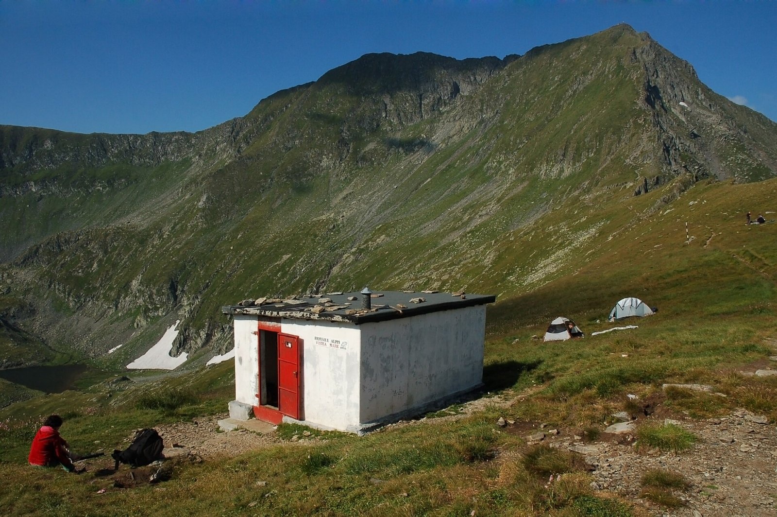
All popular routes lead over Viștea Mare, from where a branch marked with a red dot runs to Moldoveanu — 20–25 minutes according to Romanian Wikipedia. Hungarian Wikipedia warns that the notch between the two summits has a short steep rock step where you hold a chain and use your hands, so heavy packs are best left on Viștea Mare.
- From the south, via Valea Rea — the shortest way. From the Stâna lui Burnei sheepfold, reached by a long unpaved forest road, the red triangle climbs past a glacial cirque and Iezerul Triunghiular lake (2,156 m) to the Portița Viștei saddle (2,310 m); then the red stripe leads to Viștea Mare. Times per Romanian Wikipedia: 3–3.5 h to the saddle, 45–60 min to Viștea Mare and another 20–25 min to Moldoveanu, 4–5 h of ascent in total; medium, in places hard. Many descend by the longer but easier blue-cross route.
- From the north, via the Viștea valley — from Victoria and Viștișoara up Valea Viștei to Portița Viștei on the main ridge; Hungarian Wikipedia gives 6–7 h from the valley to the summit.
- From the north, via the Sâmbăta valley — over the Fereastra Mare saddle to the main ridge and west along it to Viștea Mare; very long, for fit hikers only.
- Along the Făgăraș ridge — as part of a multi-day traverse of the main ridge, including from the Transfăgărășan road (OSM route with a red cross); to the south, a blue-triangle trail descends from Moldoveanu towards Nucșoara via Curmătura Maliței.
The view from the summit
The summit offers a panorama of the Făgăraș main ridge with Viștea Mare — Romania's third-highest peak — as the closest neighbour, while long spurs fall south towards the Argeș valleys. A survey cairn marks the top.
Nature and history
The Făgăraș Mountains are built of crystalline rocks; coniferous forests grow below the ridge and alpine meadows above. German Wikipedia notes that, because the area is little developed for tourism, the flora and fauna typical of the Transylvanian Alps survive here in good condition. According to Romanian Wikipedia, the name comes from the nickname of a shepherd who leased these pastures about a century ago, when the massif was visited almost only by herders; many local tops still carry shepherds' nicknames. In December 2019 the star XO-1 in the constellation Corona Borealis was named Moldoveanu.
Safety, season and rules
The summit is technically easy, but in bad weather the final ridge section is dangerous: fog, thunderstorms and wet rock above 2,500 m are common even in summer. The Făgăraș main ridge is not a national park but the Natura 2000 site «Munții Făgăraș» (ROSCI0122) with its own regulations: stay on marked trails and take your litter with you. In winter the high Făgăraș ridges carry a serious avalanche risk; Romania's National Meteorological Administration (ANM) publishes an avalanche bulletin (buletin nivometeorologic) on meteoromania.ro. The high-mountain section of the Transfăgărășan road (DN7C) closes every cold season; as of November 2026 no reopening date has been announced — check CNAIR notices.
Bears are common in the Romanian Carpathians. Salvamont advises not to hike alone, to talk loudly so animals hear you in advance, to keep your distance and never feed wildlife, to store food in sealed containers away from your tent, and to carry bear spray; if you meet a bear, do not run, avoid eye contact and back away slowly without turning your back.
Mountain rescue: Salvamont national dispatch 0SALVAMONT = 0725 826 668 and the emergency number 112.
Interesting facts
- Moldoveanu is only 9 m higher than neighbouring Negoiu, which was long regarded as the highest peak of the Făgăraș Mountains.
- The Romanian name means «the Moldavian» — the nickname of a shepherd who grazed his flocks here.
- The summit cannot be seen from the central Făgăraș Depression, only from the ridge itself.
Photos: Andrei Stroe, CC BY-SA 4.0; BáthoryPéter, CC BY-SA 4.0; BáthoryPéter, CC BY-SA 4.0; friend of Darwinek, CC BY-SA 3.0; Mercy, CC BY-SA 3.0; MIHAIL, CC BY-SA 4.0; BáthoryPéter, CC BY-SA 4.0 — Wikimedia Commons.
Getting there from Ukraine
Border crossings
- Porubne – Siret — road and pedestrian, 24/7
- Diakivtsi – Racovăț — road and pedestrian, 24/7 No freight traffic.
- Krasnoilsk – Vicovu de Sus — road and pedestrian, 08:00–20:00 Cars up to 3.5 t and pedestrians only; not 24/7.
- Solotvyno – Sighetu Marmației — road and pedestrian, 24/7 Passenger traffic only: vehicles up to 3.5 t with up to 9 seats, pedestrians.
- Diakove – Halmeu — road, 24/7 No pedestrian crossing.
By car
Rakhiv – Sibiu ≈390 km, ≈5 h 33 min (via Solotvyno – Sighetu Marmației); Ivano-Frankivsk – Sibiu ≈524 km, ≈7 h 52 min (via Solotvyno – Sighetu Marmației); Chernivtsi – Sibiu ≈435 km, ≈8 h 00 min (via Diakivtsi – Racovăț). Times without border queues, our road routing (GraphHopper, OSM).
Checked 03.11.2026; border crossing hours and timetables change — check before you travel.
Location on the map
Water and shelter nearby
- Spring below Hârtopul Ursului (south-west slope)810 m · Not verified · 2 193 m
- Spring below Hârtopul Ursului (west slope)860 m · Not verified · 2 232 m
- Viștea Mare Hut970 m · Not verified · 2 262 m
- Spring below Vârful Iazu2 km · Not verified · 1 615 m
- Spring below Corabia (south-west slope), 2 163 m2.4 km · Not verified · 2 163 m
Wildlife nearby
AllComments
Nearby attractions
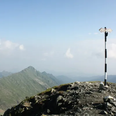 PeakViștea Marealtitude 2 527 munder 1 km from MoldoveanuViștea Mare (Romanian: Vârful Viștea Mare, Hungarian: Nagy-Vist) is a 2,527 m summit on the main ridge of the Făgăraș Mountains in the Southern Carpathians.
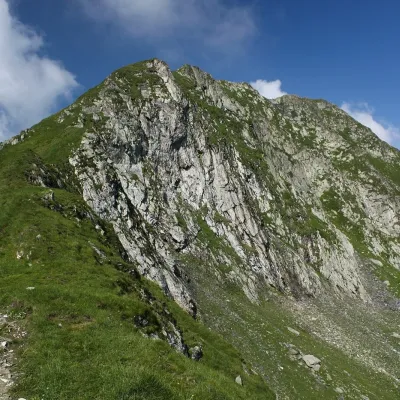 PeakPodragualtitude 2 462 m4 km from MoldoveanuPodragu (Romanian Vârful Podragu) is a 2,462 m summit in the central Făgăraș Mountains, where the borders of three counties – Brașov, Argeș and Sibiu – meet.
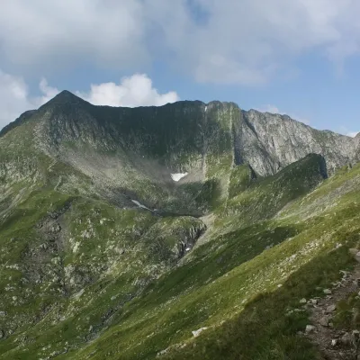 PeakMirciialtitude 2 470 m4.3 km from MoldoveanuMircii (Romanian Vârful Mircii) is a 2,470 m summit in the central part of the Făgăraș Mountains, in Argeș County.
