Dara
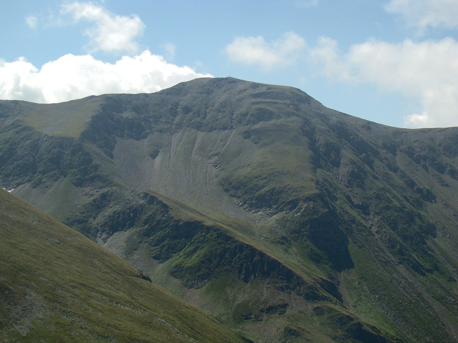
Dara (Romanian: Vârful Dara, Hungarian: Dara-csúcs) is a summit of about 2,500 m in the eastern part of the Făgăraș Mountains in the Southern Carpathians. According to Romanian and Hungarian Wikipedia, it is the thirteenth-highest mountain in Romania; its exact height on the 1:25,000 military topographic map is 2,499.6 m. The summit lies on the border of Brașov and Argeș counties; the nearest settlements at the northern foot are the Sâmbăta resort (about 12 km) and the villages of Viștișoara and Breaza (13–14 km).
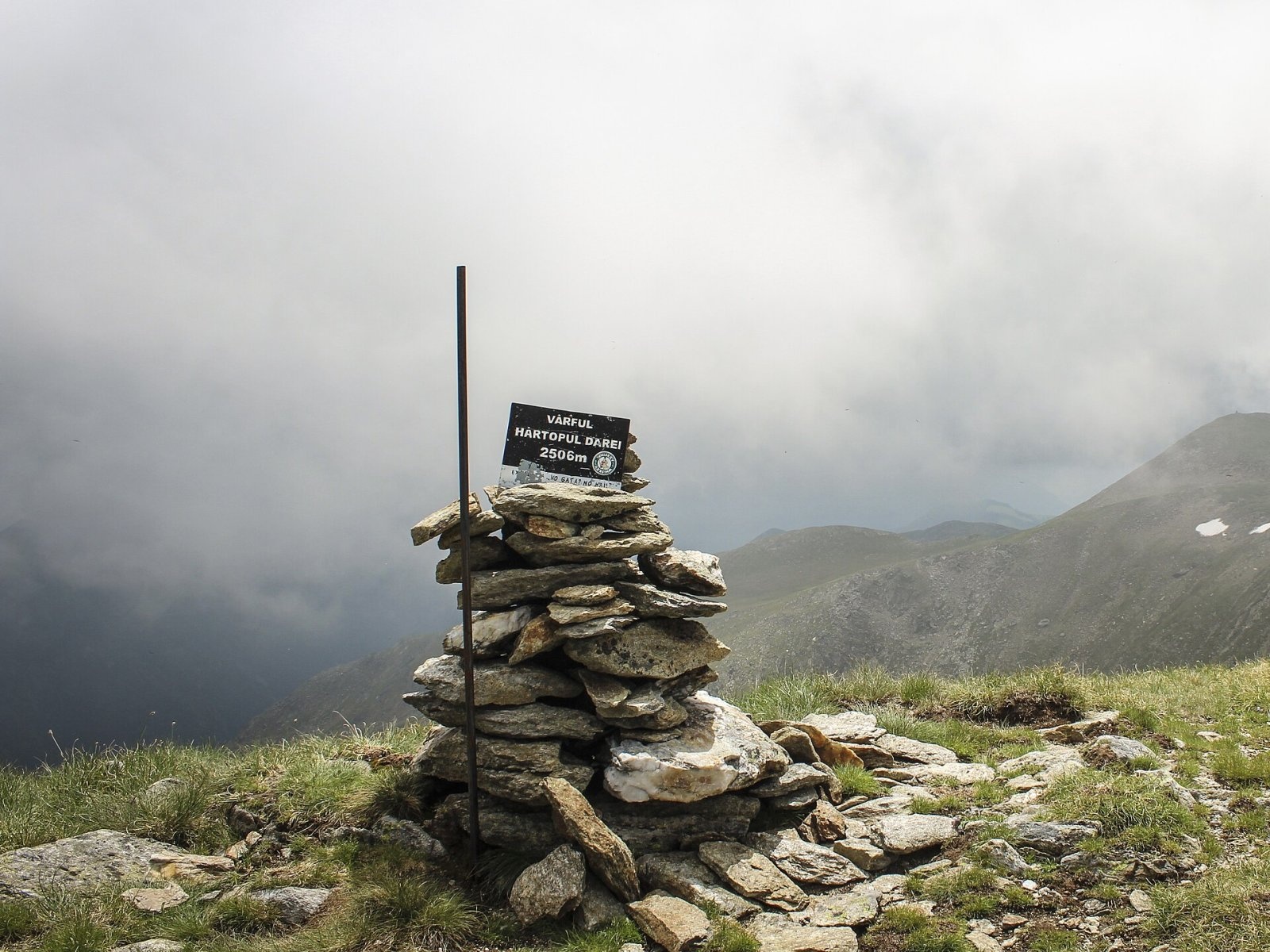
About 300 m south of Dara, towards Mușetescu peak, rises Hârtopul Darei (2,506 m). Romanian Wikipedia remarks that because of the short distance and the unclear separation between them, it is debatable whether they are two separate peaks.
How to get there / routes
Romanian Wikipedia considers the approach from the Sâmbăta de Sus monastery the most convenient. Route No. 58 with the red triangle (07MN58 on muntii-nostri.ro) leads from the Sâmbăta de Sus resort past the monastery to the Fereastra Mare a Sâmbetei saddle on the main ridge: 11.6 km, 4.5–6¼ hours. From there, according to the route description, an unmarked path climbs a stony gully to the east — to the Dara and Hârtop peaks, both above 2,500 m.
Along the main ridge, the red stripe from Fereastra Mare via the Curmătura Brătilei saddle skirts Dara and Hârtopul Darei and then descends below 2,000 m to the Curmătura Zârnei saddle. The summit can also be reached from the ridge section between Urlea peak and Curmătura Zârnei, opposite Fundul Bândei peak.
What you can see from the summit
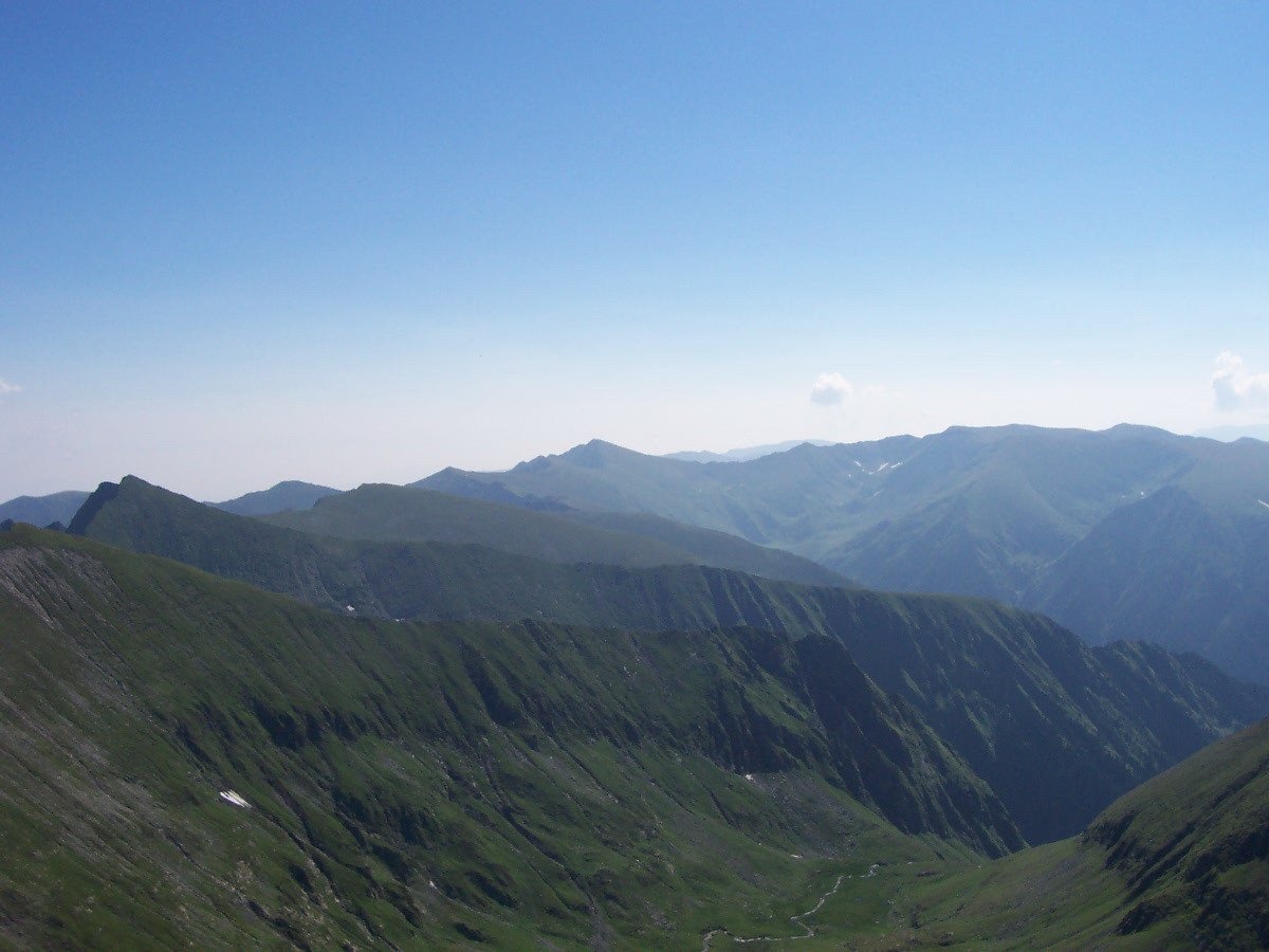
Dara stands in the highest part of the Făgăraș: to the west you see Gălășescu and the Moldoveanu – Viștea Mare massif, to the east the ridge gradually descends towards Urlea and Curmătura Zârnei. Below, in the cirques, lie lakes Mioarele, Mușetescu and Urlea.
Nature and history
Like the whole Făgăraș ridge, the summit is built of crystalline rocks; it is surrounded by glacial cirques with small lakes and scree, and above the tree line by alpine meadows. The Sâmbăta de Sus monastery, where the ascent starts, is one of the best-known monasteries of Transylvania at the foot of the Făgăraș.
Safety, season and rules
The final stretch to Dara is unmarked and follows a stony gully, so go only in good visibility. According to muntii-nostri.ro, the climb to the Fereastra Mare saddle can be dangerous in winter because of avalanches, and the ridge section east of Fereastra Mare is inaccessible in winter. The Făgăraș ridge is not a national park but the Natura 2000 site «Munții Făgăraș» (ROSCI0122) with its own regulations: stay on marked trails and take your litter with you. In winter the high ridges carry a serious avalanche risk — follow the avalanche bulletin of Romania's National Meteorological Administration (ANM) on meteoromania.ro.
Bears are common in the Romanian Carpathians. Salvamont rescuers advise not to hike alone, to talk loudly so that an animal hears you in advance, to keep your distance and never feed wildlife, and to store food in sealed containers away from your tent; if you meet a bear, do not run and back away slowly without turning your back.
Mountain rescue: Salvamont national dispatch 0SALVAMONT = 0725 826 668 and the emergency number 112.
Interesting facts
- Dara and Hârtopul Darei stand only 300 m apart — they are often regarded as a single summit.
- The most precise height of Dara on the military map is 2,499.6 m.
Photos: AnaZ, CC BY 2.5; Mitrutpopoiu, Public domain; S. Lajos - Fehér Hegyek egyesület, CC BY-SA 4.0 — Wikimedia Commons.
Getting there from Ukraine
Border crossings
- Porubne – Siret — road and pedestrian, 24/7
- Diakivtsi – Racovăț — road and pedestrian, 24/7 No freight traffic.
- Krasnoilsk – Vicovu de Sus — road and pedestrian, 08:00–20:00 Cars up to 3.5 t and pedestrians only; not 24/7.
- Solotvyno – Sighetu Marmației — road and pedestrian, 24/7 Passenger traffic only: vehicles up to 3.5 t with up to 9 seats, pedestrians.
- Diakove – Halmeu — road, 24/7 No pedestrian crossing.
By car
Chernivtsi – Bușteni ≈426 km, ≈7 h 32 min (via Diakivtsi – Racovăț); Rakhiv – Bușteni ≈454 km, ≈8 h 01 min (via Solotvyno – Sighetu Marmației); Uzhhorod – Bușteni ≈557 km, ≈9 h 15 min (via Diakove – Halmeu). Times without border queues, our road routing (GraphHopper, OSM).
Checked 03.11.2026; border crossing hours and timetables change — check before you travel.
Location on the map
Water and shelter nearby
- Spring below Vf. Mușetescu1.1 km · Not verified · 2 433 m
- Lacul Urlea Hut1.3 km · Not verified · 2 139 m
- Spring below Vârful Leaota (north-east slope)2.6 km · Not verified · 1 889 m
- Spring below Slănina (east slope)3 km · Not verified · 2 170 m
Wildlife nearby
AllComments
Nearby attractions
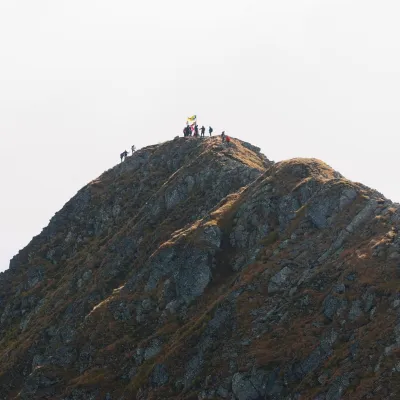
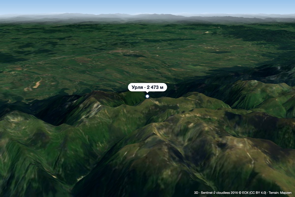 PeakUrleaStațiunea Climaterică Sâmbătaaltitude 2 473 m1.9 km from DaraUrlea (Romanian Vârful Urlea) is a 2,473 m summit in the eastern part of the Făgăraș Mountains, on the border of Brașov and Argeș counties.
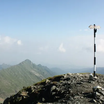
 PeakMoldoveanualtitude 2 544 m7.3 km from DaraMoldoveanu (Romanian: Vârful Moldoveanu) is the highest peak of Romania and of the whole Southern Carpathians, 2,544 m above sea level.
 PeakViștea Marealtitude 2 527 m7.3 km from DaraViștea Mare (Romanian: Vârful Viștea Mare, Hungarian: Nagy-Vist) is a 2,527 m summit on the main ridge of the Făgăraș Mountains in the Southern Carpathians.
