Urlea
Urlea (Romanian Vârful Urlea) is a 2,473 m summit in the eastern part of the Făgăraș Mountains, on the border of Brașov and Argeș counties. It stands slightly off the main ridge: according to Romanian Wikipedia, the ridge route bypasses the top itself, so climbing it takes a separate ascent and descent. In return, Munții Noștri calls Urlea one of the finest viewpoints in the eastern half of the range.
Below its northern slopes lies the glacial Lake Urlea, and further down, at the tree line, the ruins of the hut of the same name. The nearest settlements are the Sâmbăta de Sus resort (about 10 km) and the villages of Viștișoara and Breaza (11–12 km) in the Făgăraș depression.
How to get there / routes
The direct route from the north is marked with a blue triangle: from the ruins of the Urlea hut over the Moșu ridge to the summit and on to the main ridge. According to Munții Noștri it is about 6 km with more than 1,000 m of ascent, roughly 3.5–4 hours. From the ruins in the Curmătura Colților meadow (1,533 m) the path climbs a cutting through spruce forest and dwarf pine to the alpine plateau of Șleaul Moșuleței with the Salvamont Moșu shelter (2,070 m), then a steeper slope to the Curmătura Moșului saddle and on beneath Moșu peak (2,278 m). The last section follows an ever narrower rocky crest. From the summit a short descent leads to the Curmătura Mogoșului saddle, where the main ridge path (red stripe) runs.
The hut itself is reached from the town of Breaza: over the Colții Brezei ridge, up the Brezcioara valley or up the Pojorta valley (the last, says Munții Noștri, is overgrown, flood-damaged and temporarily closed). Another option is a long loop from the Sâmbăta de Sus resort via the Valea Sâmbetei hut and the limestone walls of Piatra Caprei, then along the main ridge past La Cheia Bândei to Urlea: according to the same source, about 24 km, over 1,650 m of ascent and 10–11 hours.
What you see from the summit
According to Munții Noștri, the main ridge stretches away to the east, and in the distance you can see Piatra Craiului, the Bucegi, Măgura Codlei, Postăvaru, Piatra Mare and Ciucaș. The Iezer-Păpușa Mountains rise to the south-east, and to the south the peaks of Dara and Hârtopu Darei – the easternmost Făgăraș summits above 2,500 m. To the west the view takes in much of the main ridge with Moldoveanu, Viștea Mare and Vânătarea lui Buteanu, and on clear days even Lespezi. To the north lie the villages of the Făgăraș depression.
Nature and history
Lake Urlea lies on the northern slope at 2,170 m; according to Romanian Wikipedia it covers about 2 ha and is 4 m deep. Above it rise the peaks of La Fundul Bândei (2,454 m) and Iezerul (2,429 m), whose screes reach the shore. A blue-dot path runs to the lake from the Curmătura Moșului saddle past the Urlea shelter (2,154 m) and climbs to the main ridge at the Portița Lacului saddle (2,325 m).
The Urlea hut was built by the Făgăraș section of the Transylvanian Carpathian Society (SKV): the first building opened on 3 July 1927, the second in 1935, and it was renovated in 1981–1983. Since 2005 it has been abandoned and can serve at most as a shelter. South of Urlea, in the “Hârtop Lakes” nature reserve, lies the Căldarea Geamănă cirque.
Safety, season and rules
The Făgăraș main ridge is not a national park but the Natura 2000 site “Munții Făgăraș” (ROSCI0122) with its own regulations: keep to marked paths and take your litter home. The route over the Moșu ridge is difficult in fog; in winter Munții Noștri recommends going only as far as the Moșu shelter and considers the Pojorta valley path dangerous. Snow hides the waymarks and avalanches come down the steep slopes – follow the snow and avalanche bulletin at meteoromania.ro. In summer beware of thunderstorms on the open ridge.
Bears are common in the Făgăraș. Stay on marked paths, call out, do not keep food in your tent, and do not run from sheepdogs near sheepfolds – shield yourself with your rucksack. In an emergency call the national dispatch 0SALVAMONT – 0725 826 668 or 112; advice is on the Salvamont România website.
Getting there from Ukraine
Border crossings
- Porubne – Siret — road and pedestrian, 24/7
- Diakivtsi – Racovăț — road and pedestrian, 24/7 No freight traffic.
- Krasnoilsk – Vicovu de Sus — road and pedestrian, 08:00–20:00 Cars up to 3.5 t and pedestrians only; not 24/7.
- Solotvyno – Sighetu Marmației — road and pedestrian, 24/7 Passenger traffic only: vehicles up to 3.5 t with up to 9 seats, pedestrians.
- Diakove – Halmeu — road, 24/7 No pedestrian crossing.
By car
Rakhiv – Sibiu ≈390 km, ≈5 h 33 min (via Solotvyno – Sighetu Marmației); Ivano-Frankivsk – Sibiu ≈524 km, ≈7 h 52 min (via Solotvyno – Sighetu Marmației); Chernivtsi – Sibiu ≈435 km, ≈8 h 00 min (via Diakivtsi – Racovăț). Times without border queues, our road routing (GraphHopper, OSM).
Checked 03.11.2026; border crossing hours and timetables change — check before you travel.
Water and shelter nearby
- Lacul Urlea Hut1 km · Not verified · 2 139 m
- Spring below Vârful Leaota (north-east slope)2.5 km · Not verified · 1 889 m
- Spring below Slănina (east slope)2.8 km · Not verified · 2 170 m
- Spring below Rezistoarele (north-west slope)2.9 km · Not verified · 1 750 m
- Spring below Vf. Mușetescu2.9 km · Not verified · 2 433 m
Wildlife nearby
AllComments
Nearby attractions
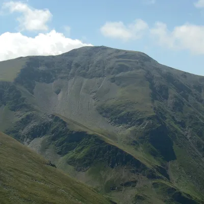 PeakDaraaltitude 2 500 m1.9 km from UrleaDara (Romanian: Vârful Dara, Hungarian: Dara-csúcs) is a summit of about 2,500 m in the eastern part of the Făgăraș Mountains in the Southern Carpathians.
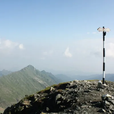 PeakViștea Marealtitude 2 527 m7.3 km from UrleaViștea Mare (Romanian: Vârful Viștea Mare, Hungarian: Nagy-Vist) is a 2,527 m summit on the main ridge of the Făgăraș Mountains in the Southern Carpathians.
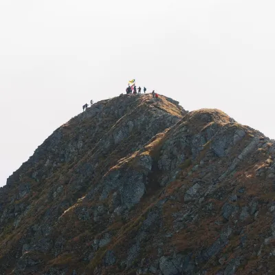 PeakMoldoveanualtitude 2 544 m7.3 km from UrleaMoldoveanu (Romanian: Vârful Moldoveanu) is the highest peak of Romania and of the whole Southern Carpathians, 2,544 m above sea level.
