Myjava
Myjava is a town in Slovakia.
Elevation: about 313 m above sea level. Population: 10,316 (2025).
Here and nearby on the site: 2 trails.
Facts: Wikidata, OpenStreetMap. More on Wikipedia
Comments
Travellers’ experience: reports, tips, questions.
No one has written here yet. Be the first — your experience helps others.
What's nearby
Trails nearby
All trails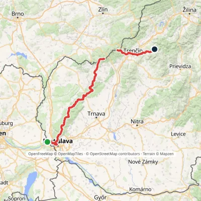 HardMulti-dayMarkedHrad Devín, parking Horná Poruba, U BrdárovElevation profile146–965 m190.1 kmascent 7 200 munder 1 km from the centre
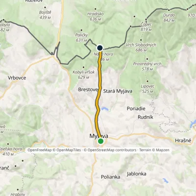 EasyOne-dayMarkedMyjava Kamenné vráta, state borderElevation profile321–637 m8.4 kmascent 322 m≈ 2.5 h walkingunder 1 km from the centre
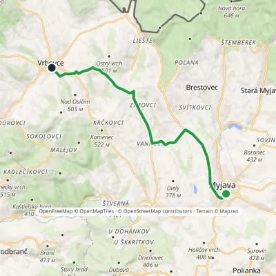 ModerateOne-dayMarkedMyjava VrbovceElevation profile320–539 m11.9 kmascent 265 m≈ 3.5 h walkingunder 1 km from the centre
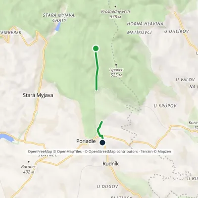 EasyOne-dayMarkedEducational Trail Brestovec Topoleckávia Stará Myjava, PoriadieElevation profile360–440 m2.2 kmascent 77 m≈ 45 min walking4.5 km from the centre
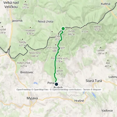 EasyOne-dayMarkedPoriadie Dibrovov Monument, state borderElevation profile369–774 m9.9 kmascent 62 m≈ 2.5 h walking4.5 km from the centre
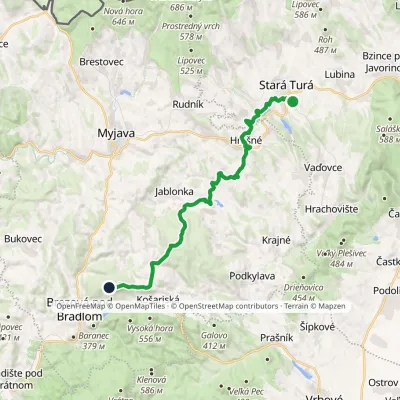 ModerateOne-dayMarkedMohyla M. R. Štefánika Stará TuráElevation profile255–534 m22.6 kmascent 635 m≈ 6.5 h walking5.3 km from the centre
Peaks nearby
All peaks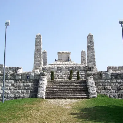 PeakBradloPriepasnéaltitude 543 m8.1 km from the centre1 trail to the topBradlo (Hungarian Bradló) is a 543 m limestone summit, the highest point of the Myjava Hills (Myjavská pahorkatina) in western Slovakia.
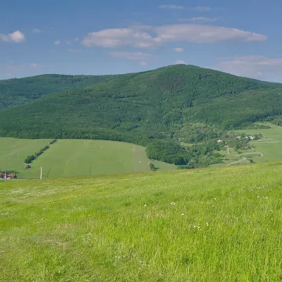 PeakVeľký LopeníkNová Bošácaaltitude 911 m24 km from the centreVeľký Lopeník (Czech Velký Lopeník) is a distinctive 911 m summit of the White Carpathians (911.3 m according to Slovak data) on the border between Slovakia and Czechia.
What to visit
All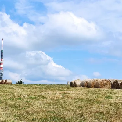 Mountain meadowThe meadows of Veľká Javorina, the highest peak of the White CarpathiansLubinaaltitude 970 m14 km from the centreVeľká Javorina (Czech Velká Javořina, 969.8 m) is the highest mountain of the White Carpathians (Biele Karpaty) on the Slovak–Czech border, about 8 km north of the...
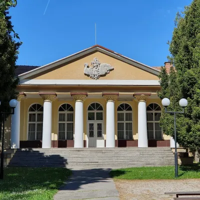 Water parks & thermal poolsSmrdáky: a hydrogen-sulphide spa for skin diseasesSmrdáky20 km from the centreSmrdáky is a small spa village in western Slovakia, on the edge of the Záhorie Lowland and the foothills of the White Carpathians, about 7 km from Senica and 80 km...
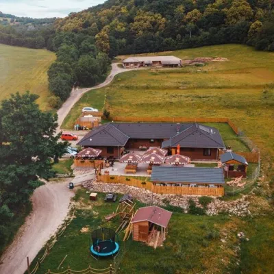 Cheese dairies & pasturesSalaš Beckov: 100% sheep’s cheese and bryndza dumplingsBeckov25 km from the centreA sheep salaš beside one of the Váh valley’s finest castles Beckov is a village in the Váh valley between Nové Mesto nad Váhom and Trenčín, overlooked by the ruins of...
Craft nearby
All craft places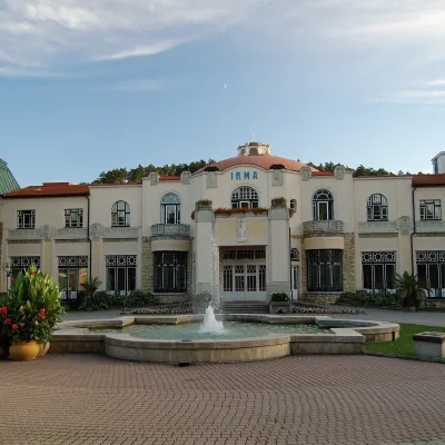 Water parks & thermal poolsPiešťany: the Spa Island, sulphur mud and thermal bathsPiešťany28 km from the centrePiešťany is Slovakia's best-known spa, spread out in the Váh valley between the Považský Inovec and the Little Carpathians.
 Honey & meaderiesVčelovina meadery, Smolenice: mead and honey beerSmolenice29 km from the centreThis is where the Včelovina meadery works — “a small production with a big heart”, as its founders put it.
Spas and thermal pools nearby
Water parks & thermal poolsSmrdáky: a hydrogen-sulphide spa for skin diseasesSmrdáky20 km from the centreSmrdáky is a small spa village in western Slovakia, on the edge of the Záhorie Lowland and the foothills of the White Carpathians, about 7 km from Senica and 80 km...Water parks & thermal poolsPiešťany: the Spa Island, sulphur mud and thermal bathsPiešťany28 km from the centrePiešťany is Slovakia's best-known spa, spread out in the Váh valley between the Považský Inovec and the Little Carpathians.Huts, shelters and springs nearby
Getting there from Ukraine
Border crossings
- Uzhhorod – Vyšné Nemecké — road, 24/7
- Malyi Bereznyi – Ubľa — road, 24/7 For cars and buses; pedestrians not confirmed by the Ukrainian border service, lorries up to 3.5 t.
- Mali Selmentsi – Veľké Slemence (pedestrian) — pedestrian, 09:00–21:00 Kyiv time Pedestrians and cyclists only; inconvenient for the Tatras without onward transport.
- Chop – Čierna nad Tisou (rail) — rail, 24/7
By car
From Uzhhorod to Žilina ≈330 km, ≈4 h 20 min without queues: Uzhhorod – Vyšné Nemecké → I/19 to Košice → D1 via Prešov, Poprad, Liptovský Mikuláš and Ružomberok (≈17 km on I/18 between D1 sections) → Žilina. To Terchová ≈314 km, ≈4 h 15 min: from the D1 onto I/70 and II/583. From Lviv through Poland: M-10 → Krakovets – Korczowa → A4 to Kraków → S7/DK7 to Chyżne – Trstená → R3, I/59 to Dolný Kubín → II/583 via Terchová to Žilina: to Terchová ≈493 km (≈6 h 30 min), to Žilina ≈518 km (≈7 h). Via the tolled A4 Kraków – Katowice, S1 and D3: ≈533 km, ≈6 h 35 min. The D1 requires an e-vignette (eznamka.sk).
Checked 23.10.2026; border crossing hours and timetables change — check before you travel.
