Ďubákovo
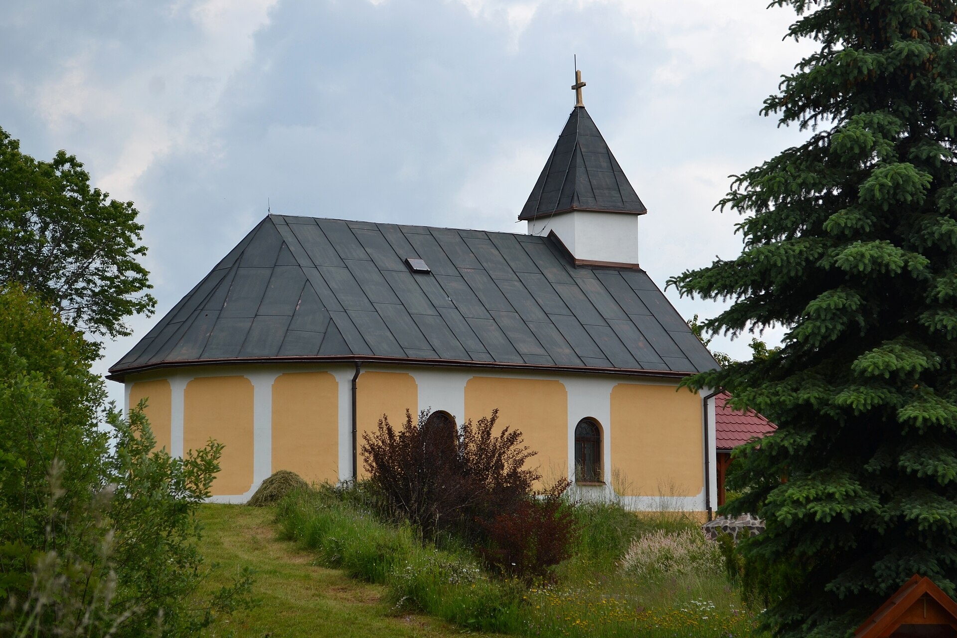
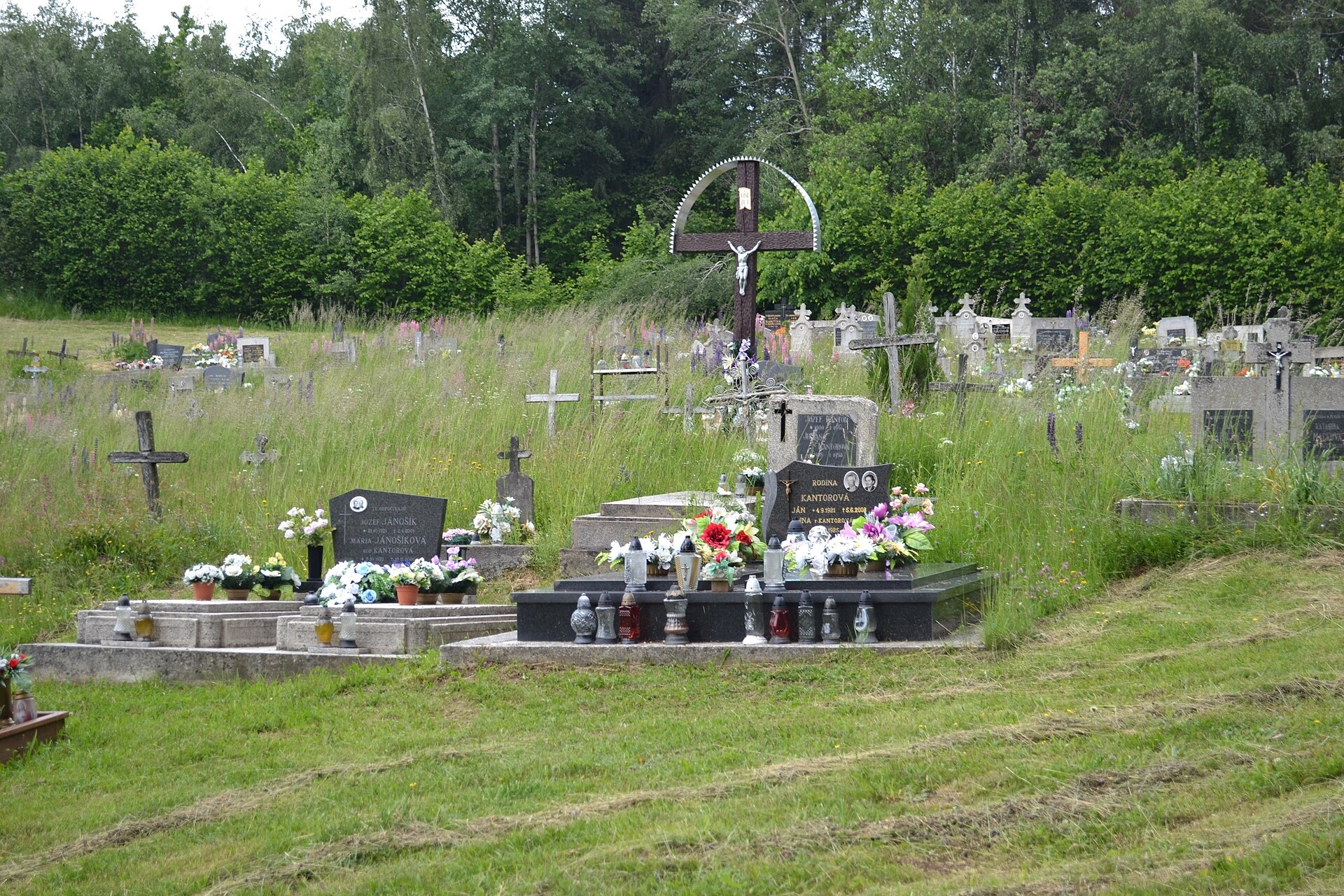
Photos: Ladislav Luppa, CC BY-SA 4.0 (Wikimedia Commons); Ladislav Luppa, CC BY-SA 4.0 (Wikimedia Commons)
Ďubákovo is a village in Slovakia.
Elevation: about 820 m above sea level. Population: 82 (2025). Mountains nearby: Slovak Ore Mountains.
Here and nearby on the site: 1 trail.
Facts: Wikidata, OpenStreetMap. More on Wikipedia
What's nearby
Trails nearby
All trails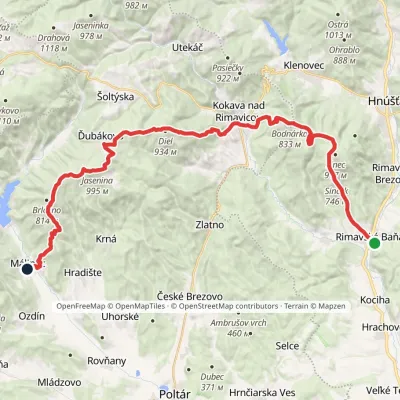 HardMulti-dayMarkedRimavská Baňa, station MálinecElevation profile254–995 m36.5 kmascent 1 499 m≈ 12 h walkingunder 1 km from the centre
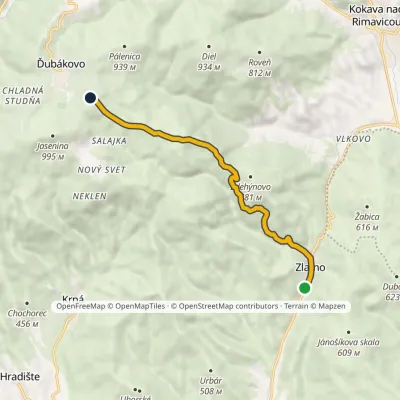 ModerateOne-dayMarkedZlatno, railway station JaseninaElevation profile368–914 m8.8 kmascent 580 m≈ 3.5 h walkingunder 1 km from the centre
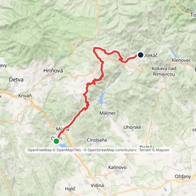 HardMulti-dayMarkedDivín DrahováElevation profile254–1 120 m46.9 kmascent 1 503 m4.1 km from the centre
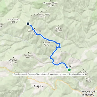 ModerateOne-dayMarkedUtekáč, stop Tri chotárevia Sedlo PerešElevation profile401–1 150 m12.8 kmascent 781 m≈ 5 h walking6.2 km from the centre
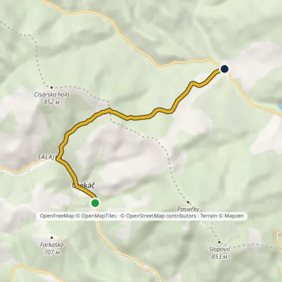 EasyOne-dayMarkedRáztočné Utekáčvia Cisárske SaddleElevation profile398–729 m6.2 kmascent 330 m≈ 2 h walking6.9 km from the centre
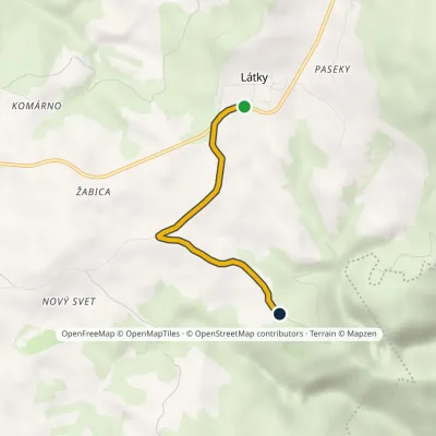 EasyOne-dayMarkedLátky ChocholnáElevation profile807–844 m3.4 kmascent 51 m≈ 60 min walking7.3 km from the centre
Peaks nearby
All peaks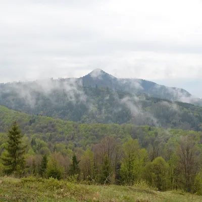 PeakKlenovský VeporPohronská Polhoraaltitude 1 338 m14 km from the centreKlenovský Vepor is a massive 1338.2 m summit in the Veporské vrchy, part of the Slovak Ore Mountains. It is the second-highest summit of the Veporské vrchy and the...
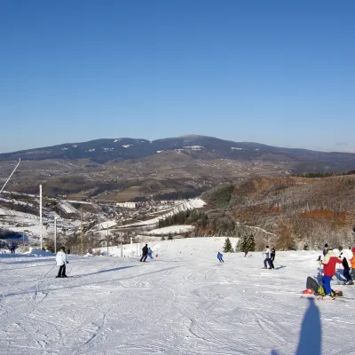 PeakPoľanaHriňováaltitude 1 458 m20 km from the centrePoľana is a 1457.8 m summit, the highest point of the mountain massif of the same name in central Slovakia.
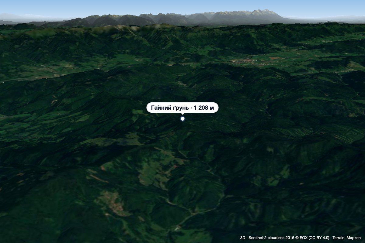 PeakHájny grúňĽubietováaltitude 1 208 m24 km from the centreHájny grúň is a forested 1208 m summit in the northern part of the Poľana mountains in Central Slovakia.
What to visit
All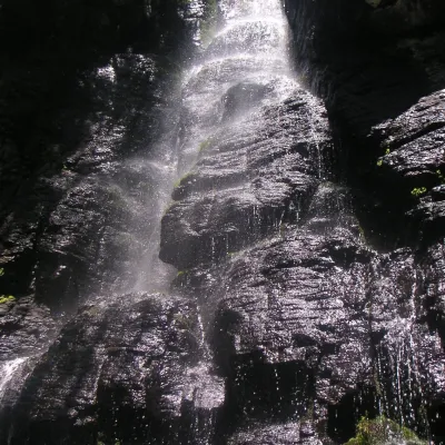 WaterfallBystrô waterfall on the Poľana volcanoHriňová20 km from the centreThe Bystrý potok waterfall (Vodopád Bystrého potoka), known locally simply as Bystrô or Bystré, is one of the best-known waterfalls in central Slovakia.
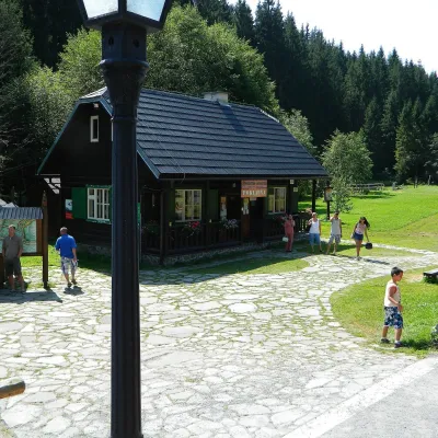 MuseumVydrovo Forestry Open-Air MuseumČierny Balog20 km from the centreThe Vydrovo Forestry Open-Air Museum (Lesnícky skanzen Vydrovo) is devoted to the forest and the work of foresters.
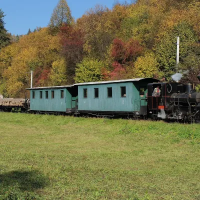 Historic siteČierny Hron Forest RailwayČierny Balog21 km from the centreThe Čierny Hron Railway (Čiernohronská železnica, ČHŽ) is a historic 760 mm narrow-gauge forest railway in the village of Čierny Balog in the Horehronie region.
Craft nearby
All craft places
Huts, shelters and springs nearby
Getting there from Ukraine
Border crossings
- Uzhhorod – Vyšné Nemecké — road, 24/7
- Malyi Bereznyi – Ubľa — road, 24/7 For cars and buses; pedestrians not confirmed by the Ukrainian border service, lorries up to 3.5 t.
- Mali Selmentsi – Veľké Slemence (pedestrian) — pedestrian, 09:00–21:00 Kyiv time Pedestrians and cyclists only; inconvenient for the Tatras without onward transport.
- Chop – Čierna nad Tisou (rail) — rail, 24/7
By car
From Uzhhorod to Brezno ≈274 km, ≈3 h 50 min without queues: Uzhhorod – Vyšné Nemecké → I/19 to Košice → D1 via Prešov and Poprad to the exit near Liptovský Hrádok → I/18 and I/72 over the Čertovica Pass to Brezno. To Banská Bystrica ≈322 km, ≈4 h 30 min: D1 to Ružomberok, then I/59 via Donovaly. From Lviv: to Brezno via Uzhok and Ubľa ≈498 km (≈7 h 45 min) or through Poland ≈554 km (≈7 h 05 min); to Banská Bystrica through Poland (Kraków – Chyżne – Trstená – Dolný Kubín – Ružomberok) ≈535 km, ≈7 h 15 min. The D1 requires an e-vignette (eznamka.sk).
Checked 23.10.2026; border crossing hours and timetables change — check before you travel.
