Hruštín
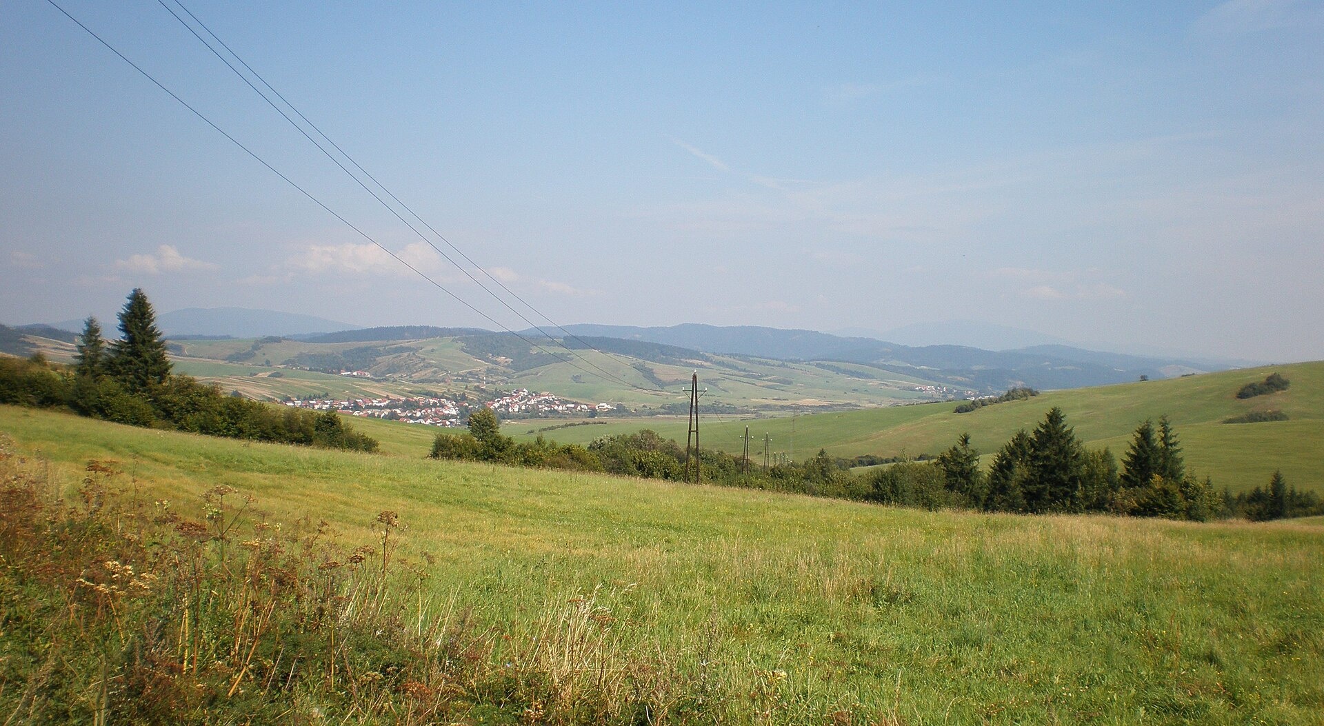
Photos: Janericloebe, Public domain (Wikimedia Commons)
Hruštín is a village in Slovakia.
Elevation: about 697 m above sea level. Population: 3,162 (2025). Mountains nearby: Western Carpathians.
Here and nearby on the site: 1 trail.
Facts: Wikidata, OpenStreetMap. More on Wikipedia
What's nearby
Trails nearby
All trails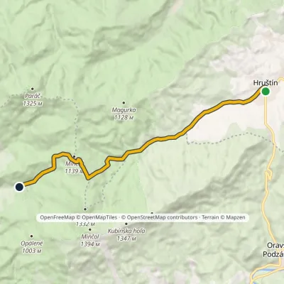 ModerateOne-dayMarkedZázrivá, Kozinská HruštínElevation profile693–1 144 m13.4 kmascent 450 m≈ 4.5 h walkingunder 1 km from the centre
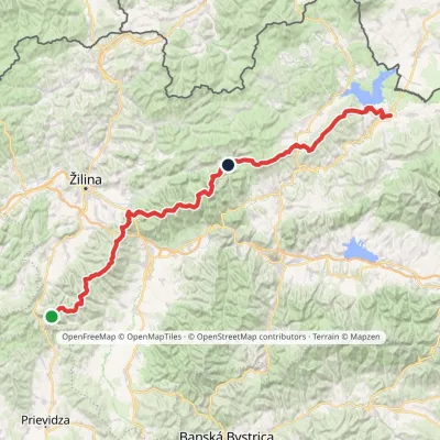 HardMulti-dayMarkedKľak TrstenáElevation profile354–1 668 m119.6 kmascent 7 565 m2.1 km from the centre
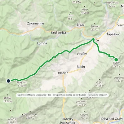 ModerateTwo-dayMarkedBudín PríslopecElevation profile623–1 258 m20.4 kmascent 708 m≈ 6.5 h walking2.7 km from the centre
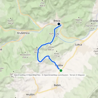 EasyOne-dayMarkedBreza VasiľovElevation profile639–885 m7.9 kmascent 255 m≈ 2.5 h walking3.3 km from the centre
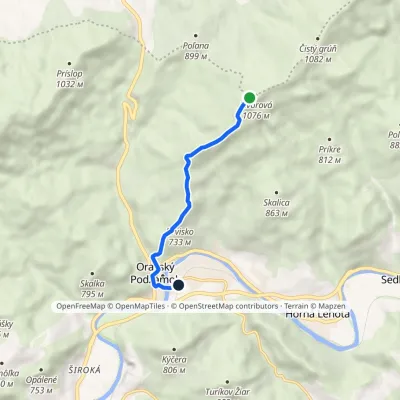 EasyOne-dayMarkedOravský Podzámok, station JavorováElevation profile502–1 086 m5.4 kmascent 6 m≈ 1.5 h walking4.2 km from the centre
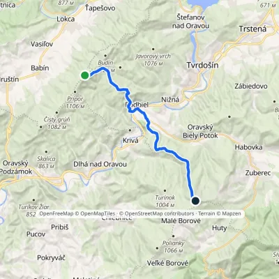 ModerateTwo-dayMarkedKopec ŠubovkaElevation profile549–1 252 m17.3 kmascent 738 m≈ 6 h walking6 km from the centre
Peaks nearby
All peaks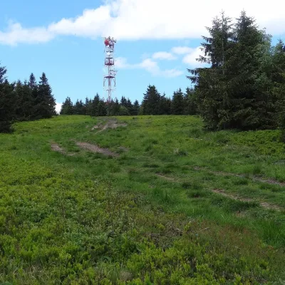 PeakMinčol (Oravská Magura)Dolný Kubínaltitude 1 394 m9.3 km from the centre1 trail to the topMinčol is the highest peak of the Oravská Magura range in northern Slovakia, 1394 m high. It lies in the south-western part of the range, in the Kubínska hoľa massif,...
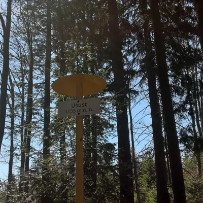 PeakÚšust (Oszus)Zákamennéaltitude 1 155 m15 km from the centreÚšust (Polish Oszus or Oszust) is a 1155 m summit in the Orava Beskids on the Slovak–Polish border. It rises above the village of Oravská Lesná (about 4.4 km), some 20...
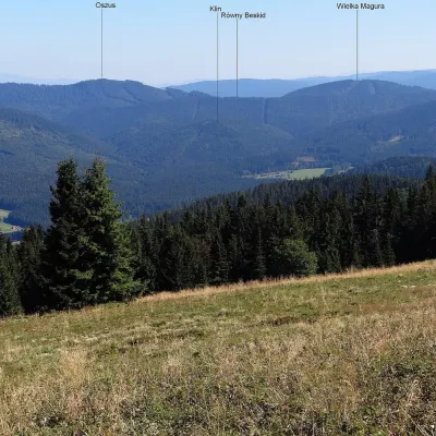 PeakVysoká MaguraZákamennéaltitude 1 115 m16 km from the centreVysoká Magura (Polish Wysoka Magura) is a 1115 m summit in the Orava Beskids (Oravské Beskydy) in northern Slovakia, which Polish geographers count as part of the...
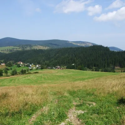 PeakKopecOravský Biely Potokaltitude 1 251 m17 km from the centreKopec (Slovak for “mound”; formerly Polish Kopiec) is a 1,251 m summit, the second highest in the Skorušinské vrchy of northern Slovakia.
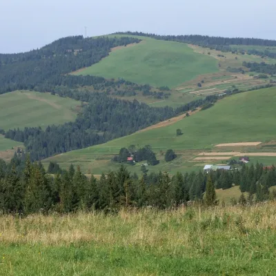 PeakPoliankyMalé Borovéaltitude 1 066 m17 km from the centrePolianky is a 1066 m summit in the Skorušinské vrchy in Slovakia (Polish geographers call the range the Orava or Skoruszyna Foothills).
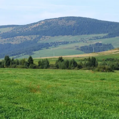 PeakMachyOravský Biely Potokaltitude 1 202 m18 km from the centreMachy is a 1202 m summit in the Skorušina Mountains in Orava, northern Slovakia. It rises above the village of Zuberec, about 8 km south of Tvrdošín, in the central...
What to visit
All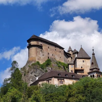 CastleOrava CastleOravský Podzámok7 km from the centreOrava Castle (Oravský hrad) stands on a sheer limestone rock above the Orava river in the village of Oravský Podzámok in northern Slovakia.
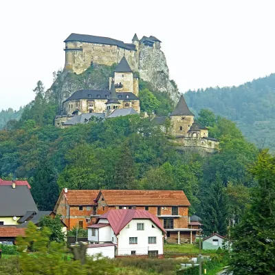 RiverOrava RiverOravský Podzámok7.2 km from the centreThe Orava is a right-bank tributary of the Váh in northern Slovakia and the main river of the historical region of the same name.
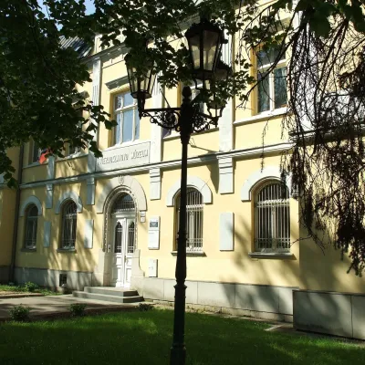 MuseumHviezdoslav Museum and Čaplovič Library, Dolný KubínDolný Kubín14 km from the centreHviezdoslav Literary Exhibition and the Čaplovič Library (Literárna expozícia P. Hviezdoslava a Čaplovičova knižnica) form a museum in the centre of Dolný Kubín, the...
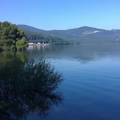 LakeOrava Reservoir and Slanica IslandNámestovo18 km from the centreOrava Reservoir (Oravská priehrada), jokingly called the “Orava Sea” by locals, lies in northern Slovakia, in the historic region of Orava, close to the Polish border.
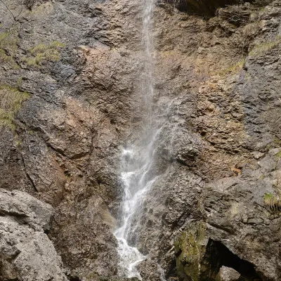 WaterfallČervené piesky waterfall in the Prosiecka valleyProsiek19 km from the centreČervené piesky is a 15-metre waterfall in a side valley of the Prosiecka dolina in the Chočské vrchy of northern Slovakia, above the village of Prosiek in the Liptov...
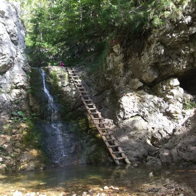 WaterfallRáztocký waterfall and the Oblazy mills (Kvačianska valley)Kvačany20 km from the centreThe Ráztocký waterfall (Ráztocký vodopád) is an eight-metre waterfall on the Ráztoka stream in the Chočské vrchy of northern Slovakia, just above the locality of...
Craft nearby
All craft places Cheese dairies & pasturesSalaš Syrex in Zázrivá — Home of the Zázrivá Korbáčik CheeseZázrivá19 km from the centreZázrivá is a scattered mountain village on the border of Orava and the Malá Fatra, famous throughout Slovakia for its korbáčiky: thin strings of steamed cheese braided...
 Water parks & thermal poolsLúčky Spa and AQUA-VITAL ParkLúčky21 km from the centreLúčky Spa (Kúpele Lúčky) lies in a quiet valley beneath the Choč Mountains, in the village of Lúčky near Ružomberok.
 Cheese dairies & pasturesSalaš Krajinka near RužomberokRužomberok26 km from the centreSalaš Krajinka is a genuine sheep farm on the edge of Ružomberok in lower Liptov. It was founded in 1983 to keep a thousand sheep, and the owners have deliberately...
 Water parks & thermal poolsBešeňová Water ParkBešeňová26 km from the centreBešeňová — the "thermal heart of Liptov" Bešeňová Water Park (Vodný park Bešeňová) lies on the edge of the village of the same name in the western part of the Liptov...
 Craft beer & breweriesURSUS craft brewery, Čutkovská valleyRužomberok28 km from the centreURSUS craft brewery (Remeselný pivovar URSUS) is the first brewery of the town of Ružomberok, tucked away in the picturesque Čutkovská valley in lower Liptov.
 Koliby & Hutsul cuisineSalaš Dechtáre above Liptovská MaraGalovany28 km from the centreSalaš Dechtáre is a wooden koliba above the Liptovská Mara reservoir that is described as one of Slovakia’s first commercial salaš restaurants.
Spas and thermal pools nearby
Water parks & thermal poolsLúčky Spa and AQUA-VITAL ParkLúčky21 km from the centreLúčky Spa (Kúpele Lúčky) lies in a quiet valley beneath the Choč Mountains, in the village of Lúčky near Ružomberok.Water parks & thermal poolsBešeňová Water ParkBešeňová26 km from the centreBešeňová — the "thermal heart of Liptov" Bešeňová Water Park (Vodný park Bešeňová) lies on the edge of the village of the same name in the western part of the Liptov...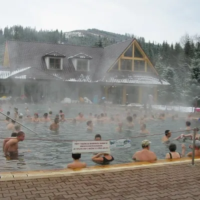 Water parks & thermal poolsOravice thermal poolsVitanová29 km from the centreThe Oravice thermal pools (Termálne kúpalisko Oravice) are the municipal thermal baths in the mountain settlement of Oravice at the foot of the Western Tatras.
Huts, shelters and springs nearby
Getting there from Ukraine
Border crossings
- Uzhhorod – Vyšné Nemecké — road, 24/7
- Malyi Bereznyi – Ubľa — road, 24/7 For cars and buses; pedestrians not confirmed by the Ukrainian border service, lorries up to 3.5 t.
- Mali Selmentsi – Veľké Slemence (pedestrian) — pedestrian, 09:00–21:00 Kyiv time Pedestrians and cyclists only; inconvenient for the Tatras without onward transport.
- Chop – Čierna nad Tisou (rail) — rail, 24/7
By car
From Uzhhorod ≈275 km, ≈3 h 35 min without queues: Uzhhorod – Vyšné Nemecké → I/19 to Košice → D1 motorway via Prešov, Poprad and Liptovský Mikuláš to Ružomberok (≈270 km, ≈3 h 25 min from the border). From Lviv it is faster through Poland: M-10 → Krakovets – Korczowa → A4 to Kraków → S7/DK7 to the Chyżne – Trstená border → R3 and I/59 via Dolný Kubín to Ružomberok: ≈482 km, ≈6 h 15 min (via Uzhok and Ubľa ≈500 km, ≈7 h 30 min). The D1 requires an e-vignette (eznamka.sk).
Checked 23.10.2026; border crossing hours and timetables change — check before you travel.
