Szyndzielnia
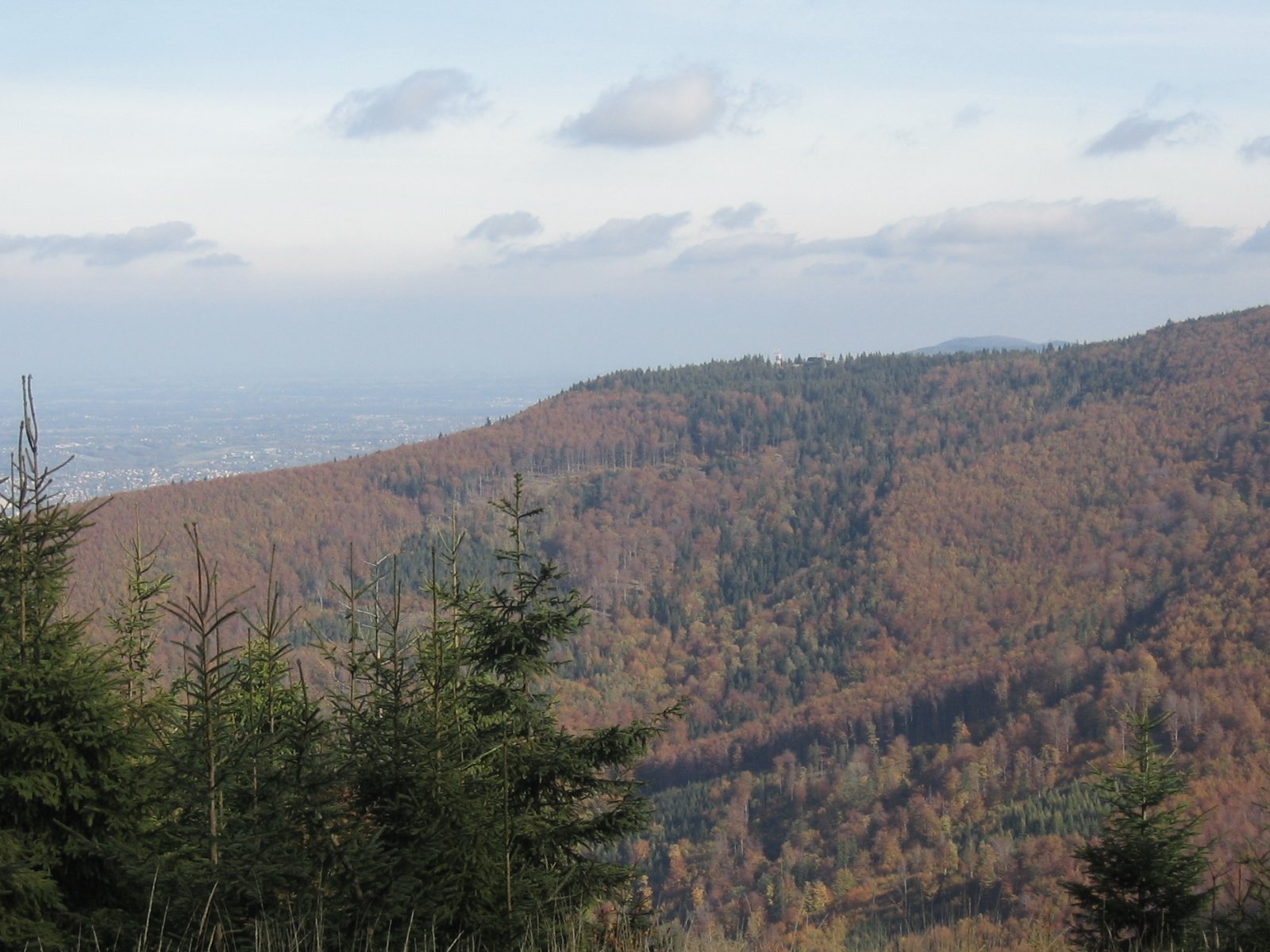
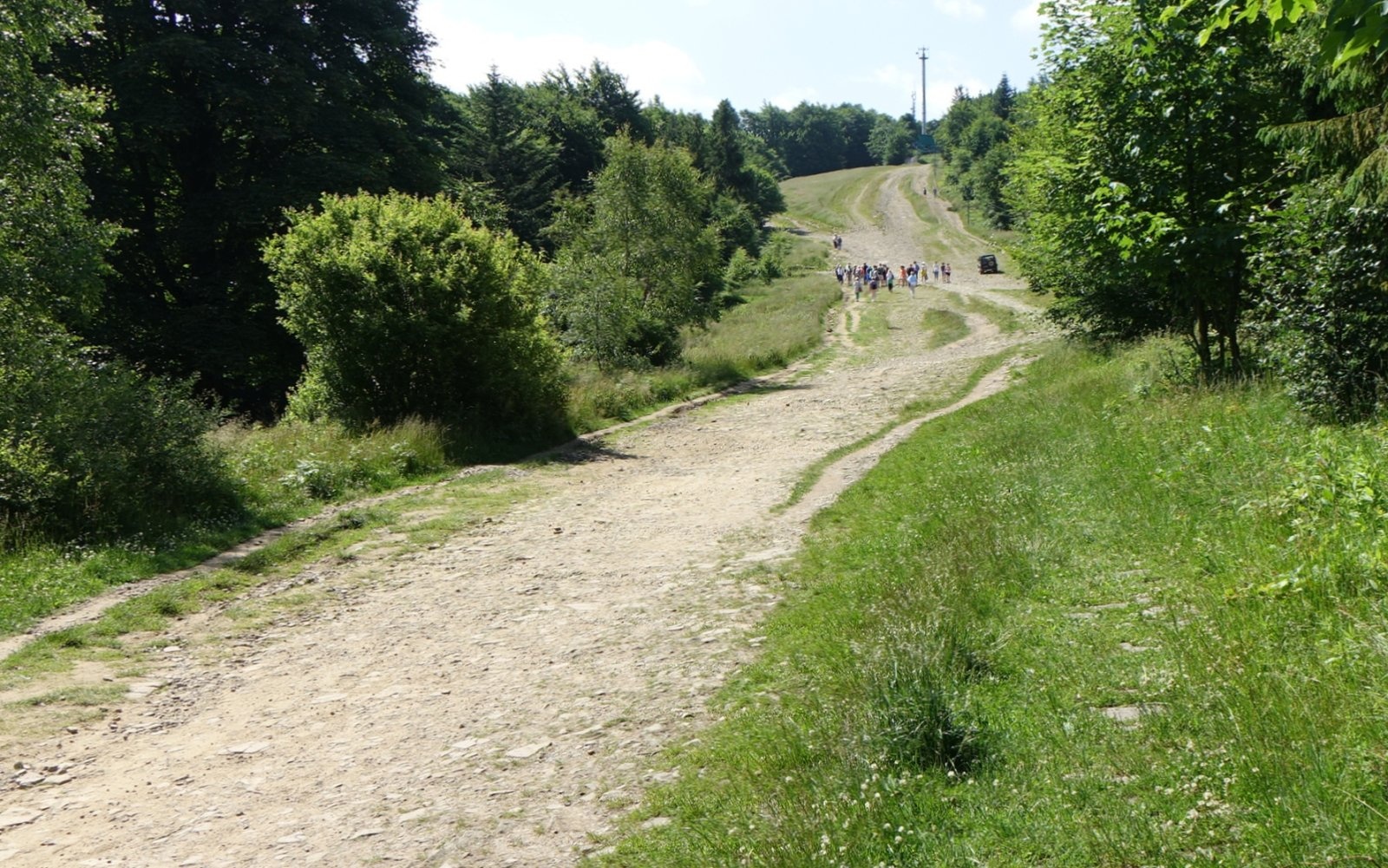
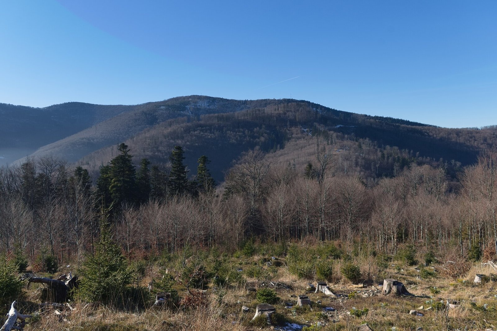
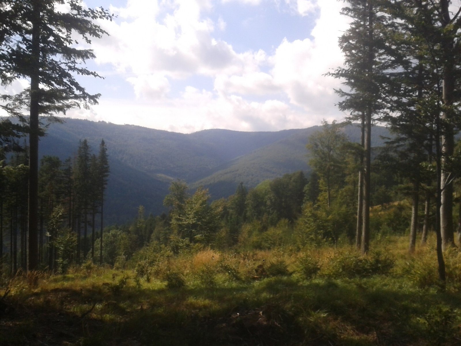
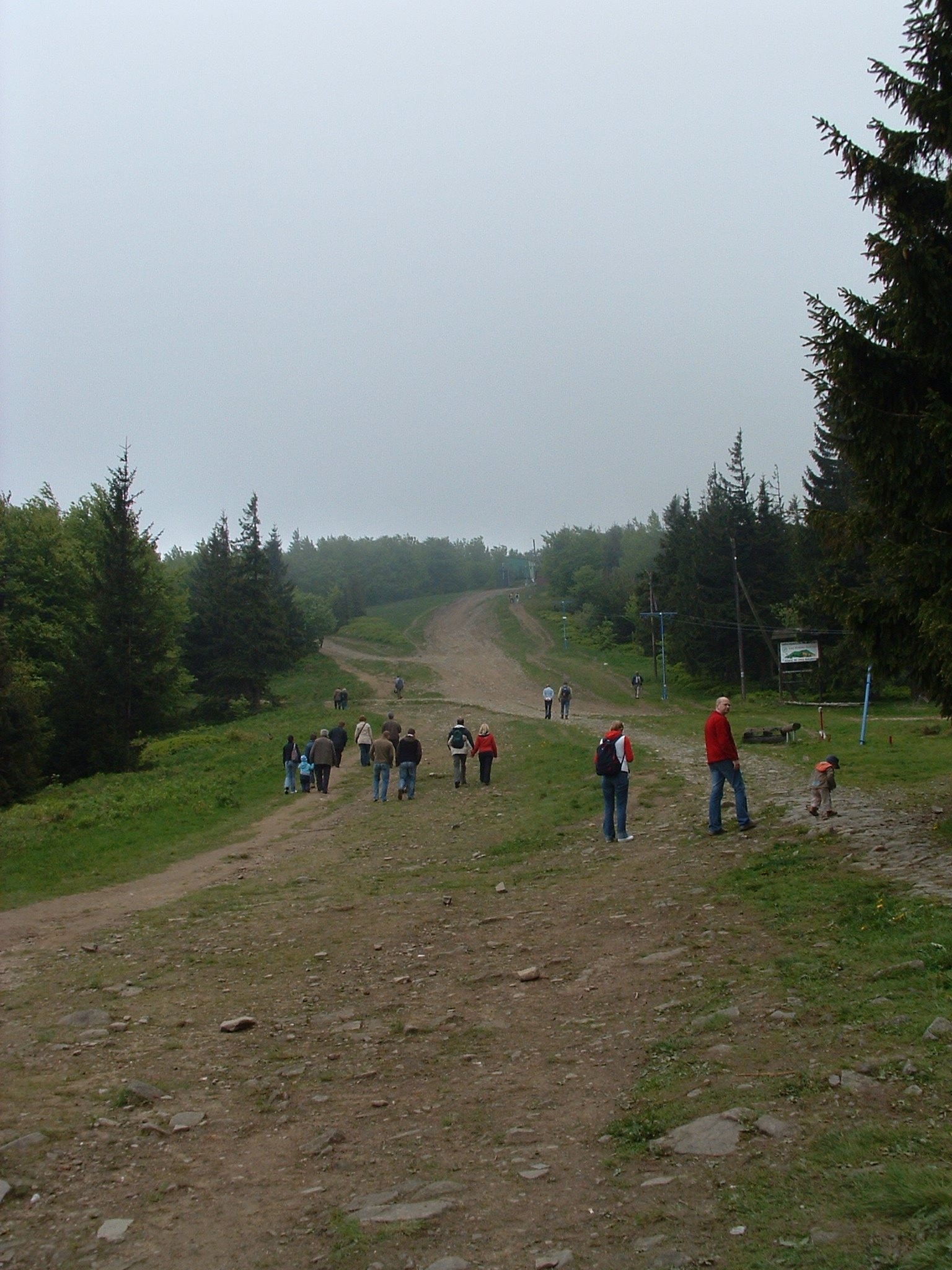
Szyndzielnia (German Kamitzer Platte) is a 1,028 m summit in the Silesian Beskids, in the Klimczok and Szyndzielnia Range, just north of Klimczok. It is the "home mountain" of the city of Bielsko-Biała: the boundary between the city and the village of Bystra in Bielsko County, Silesian Voivodeship, runs along its ridge. The summit stands on a side branch of the range between Klimczok and Kołowrót and has an elongated ridge: the western slope drops to the Barbara stream (a tributary of the Wapienica), the eastern slope to the Białka (a tributary of the Biała).
Szyndzielnia is best known for the first mountain hut in the Silesian Beskids — and in all the Polish Beskids — which stands just below the top, and for the gondola lift that has run up from Olszówka since 1953.
How to get there / trails
The PTTK hut below the summit is a hub of marked trails leading to Wapienica, Olszówka, Bystra, Szczyrk, Brenna and Jaworze, as well as to Klimczok, Błatnia and Kozia Góra. The main approaches (times from the Compass map quoted by Polish Wikipedia):
- red — from Cygański Las in Bielsko-Biała via Dębowiec and Cyberniok, about 2.5 h;
- yellow — from Bielsko-Biała via Kozia Góra, about 2.5 h;
- green — from Olszówka Górna via Dębowiec, about 2 h;
- yellow — from Wapienica, about 1.5 h;
- red — from Klimczok, about 45 min.
The easiest way up is the "Szyndzielnia" gondola from Olszówka: built in 1953, it was thoroughly modernised in 1994–1995 and 2017. In winter, marked ski-touring trails run down the slopes.
What you can see from the summit
An 18 m steel observation tower opened next to the upper lift station on 14 August 2015. The summit is visible from many places in Bielsko-Biała — together with Klimczok, Kołowrót and Kozia Góra it forms the characteristic skyline above the city — and from the Polana Kamienicka clearing the city lights to the north can be seen in the evening.
Nature and history
The massif is covered with beech forest mixed with spruce and fir, and larches grow on the slope of the so-called Mały Groń. The ridge descending gently north from the summit was once occupied by the Hala Kamienicka pasture, and the Diable Młyny rocks hide in the forest on the western slope. The mountain lies within the Silesian Beskids Landscape Park.
The mountain used to be called Szyndzielny Groń; in the early 18th century Andrzej Komoniecki wrote of "Szędzielny Groń by the Bielsko forest". The name comes from "szyndzioł", the local highlanders' word for a wooden shingle: the people of Kamienica and Olszówka Górna made shingles for the town of Bielsko from timber cut on its slopes. Old highlanders from Szczyrk called it Gaciok, after "gacie", the white woollen trousers worn by those who worked on its slopes. The German name Kamitzer Platte ("Kamienica Plate") refers to the flat area below the summit, at whose northern edge the upper lift station now stands.
The hut, at 1,001 m, was built in 1897 by the Beskidenverein and enlarged in 1954–1957. Below it lies an alpine garden of about 400 m², founded in 1905 on the initiative of the Beskidenverein president Wilhelm Schlesinger by the Bielsko museum curator and naturalist Eduard Schnack, with plants of the Beskids and the Eastern Alps. The garden later fell into neglect and was closed in 2010, but it was restored in 2011 (at a cost of about 40,000 złoty) and reopened on 13 October 2011; it is now part of a nature trail.
Safety, season and rules
Szyndzielnia can be visited all year round and its trails have no difficult sections, although some approaches from the city are fairly steep. In winter there is snow on the slopes and ski runs cross parts of the mountain, so walkers should keep to the marked trails. In fog it is easy to take a wrong turn on the broad ridge with its many junctions. Mountain rescue in the Silesian Beskids is provided by GOPR: 985 or +48 601 100 300, plus the general emergency number 112.
Photos: Adrian Tync, CC BY-SA 4.0; Jerzy Opioła, CC BY-SA 4.0; Adrian Tync, CC BY-SA 4.0; Muffi, CC BY-SA 4.0; Krzysztof Kozłowski, CC BY-SA 4.0; Jacek Proszyk, CC BY-SA 4.0; Jarosław Baranowski, CC BY-SA 3.0 — Wikimedia Commons.
Getting there from Ukraine
Border crossings
- Krakovets – Korczowa — road, 24/7
- Shehyni – Medyka — road, 24/7 Pedestrian crossing is not confirmed by the Ukrainian border service — check dpsu.gov.ua before the trip.
- Smilnytsia – Krościenko — road, 24/7
- Hrushiv – Budomierz — road, 24/7
- Mostyska – Przemyśl (rail) — rail, 24/7
By car
Lviv – Żywiec ≈412 km, ≈5 h 30 min without queues or tolls: M-10 → Krakovets – Korczowa → A4 to Kraków (≈249 km) → DK52 via Wadowice → DW781 and DW946 to Żywiec. ≈333 km, ≈4 h from the border. Alternative via the tolled A4 Kraków – Katowice and the S1 via Tychy and Bielsko-Biała: ≈457 km, ≈5 h 25 min.
Checked 23.10.2026; border crossing hours and timetables change — check before you travel.
Location on the map
Water and shelter nearby
- PTTK Hut Szyndzielnia370 m · Standing · 1 001 m
- Klimczok Hut1.6 km · Standing · 1 052 m
- Spring below Kołowrót2.3 km · Not verified · 721 m
- Spring below Magura (north-east slope), 731 m2.6 km · Not verified · 731 m
- Hut below Magura (north-east slope), 738 m2.6 km · Not verified · 738 m
- Sahara Spring2.7 km · Not verified · 519 m
- Hut below Magura (north-east slope), 670 m2.7 km · Not verified · 670 m
- Spring below Trzy Kopce2.8 km · Not verified · 838 m
Comments
Trails nearby
All trails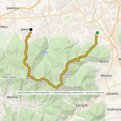 ModerateTwo-dayMarkedMikuszowice Śląskie Jaworze CentrumElevation profile364–1 117 m18.9 kmascent 840 m≈ 6.5 h walkingunder 1 km from Szyndzielnia
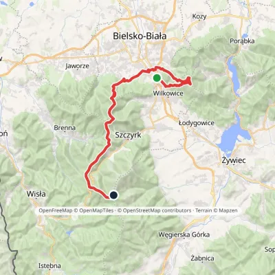 HardMulti-dayMarkedMikuszowice Krakowskie Malinowska SkałaElevation profile346–1 152 m38.1 kmascent 1 985 m≈ 13.5 h walkingunder 1 km from Szyndzielnia
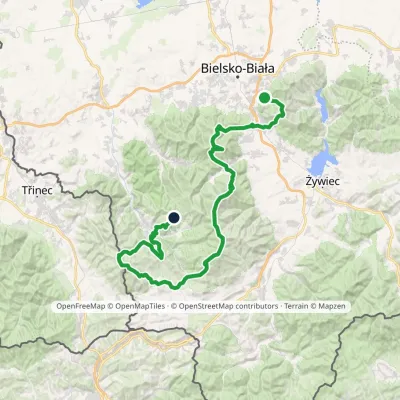 HardMulti-dayMarkedStraconka SmrekowiecElevation profile394–1 257 m79 kmascent 3 481 munder 1 km from Szyndzielnia
Nearby attractions
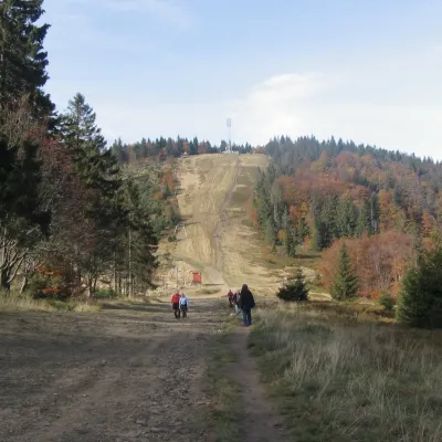 PeakKlimczokSzczyrkaltitude 1 117 m1.4 km from SzyndzielniaKlimczok (formerly also Klimczak) is a 1117 m mountain in the Klimczok and Szyndzielnia range of the Silesian Beskids, south-west of Bielsko-Biała.
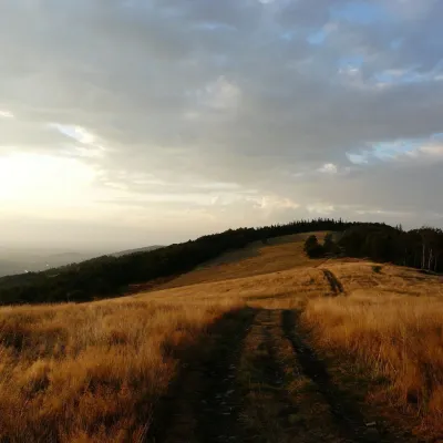 Mountain meadowHala JaworowaBrennaaltitude 870 m7.5 km from SzyndzielniaHala Jaworowa, also called Polana Kotarska, is a large meadow in the Silesian Beskids at 820–920 m. It stretches along the side north-western ridge of Kotarz – from...
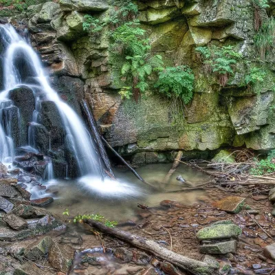 WaterfallRodło Cascades (Biała Wisełka)Wisła15 km from SzyndzielniaThe Rodło Cascades (Kaskady Rodła) are a group of about 25 natural waterfalls and rock steps on the Biała Wisełka, one of the streams that give rise to the Vistula.
Craft nearby
All craft places Craft beer & breweriesBrowar Zarzecze in the Żywiec Basin: craft brewery shopZarzecze13 km from SzyndzielniaBrowar Zarzecze works in the village of Zarzecze near Pietrzykowice in the Żywiec Basin — a region where beer has been brewed since at least the 19th century and home...
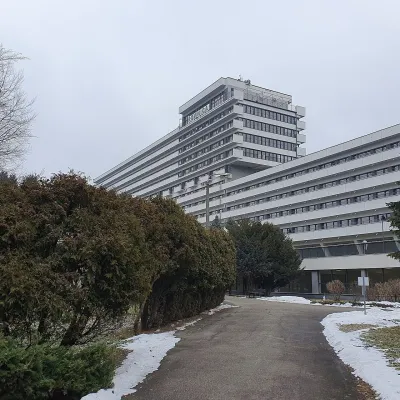 Water parks & thermal poolsUstroń spa: brine, peat and brine poolsUstroń13 km from SzyndzielniaUstroń is the only spa of the Silesian Beskids: the town lies where the Vistula valley leaves the mountains, between the ridges of Równica (884 m) and Czantoria Wielka...
 Water parks & thermal poolsAquapark Leśna (Żywiec)Leśna14 km from SzyndzielniaAquapark Leśna (also called Aquapark Żywiec) is a swimming-pool complex in the village of Leśna, a few kilometres from Żywiec, in the Żywiec Basin, surrounded by the...
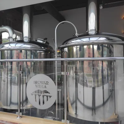 Craft beer & breweriesBrowar Wisła: craft brewpub in Wisła's old railway stationWisła15 km from SzyndzielniaBrowar Wisła is a brewpub in the heart of the Silesian Beskids, in the spa town of Wisła, where Poland's longest river of the same name rises.
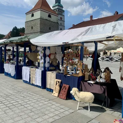 Markets & fairsFolk Art Fair in Żywiec during the Beskidy Week of CultureŻywiec16 km from SzyndzielniaThe Beskidy Highlanders' Week of Culture (Tydzień Kultury Beskidzkiej, TKB) is Poland's largest folklore festival: it was first held in Wisła in 1964, and today, at...
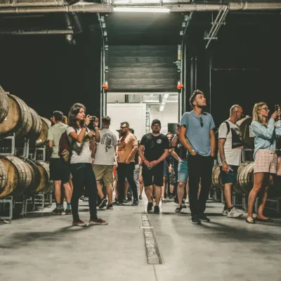 Craft beer & breweriesPINTA Brewery, Wieprz near Żywiec: tours and taproomWieprz17 km from SzyndzielniaPINTA is the brewery that Poles associate with the start of the “beer revolution”; it calls itself the country's first craft brewery.
