Klimczok
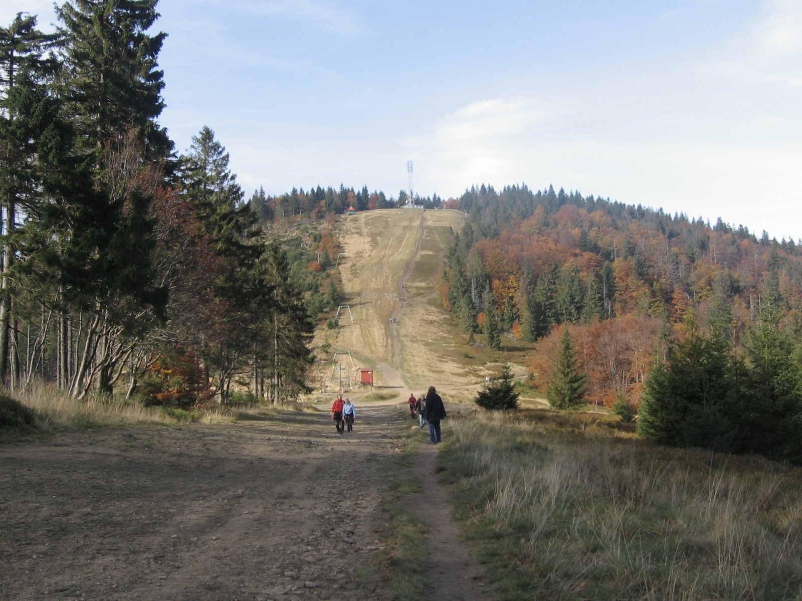
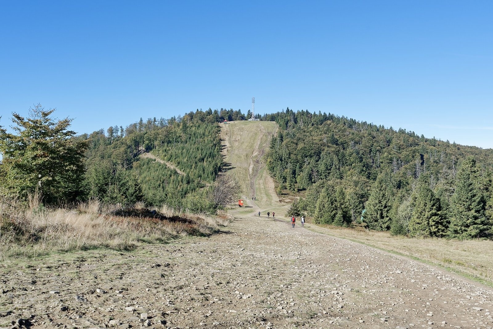
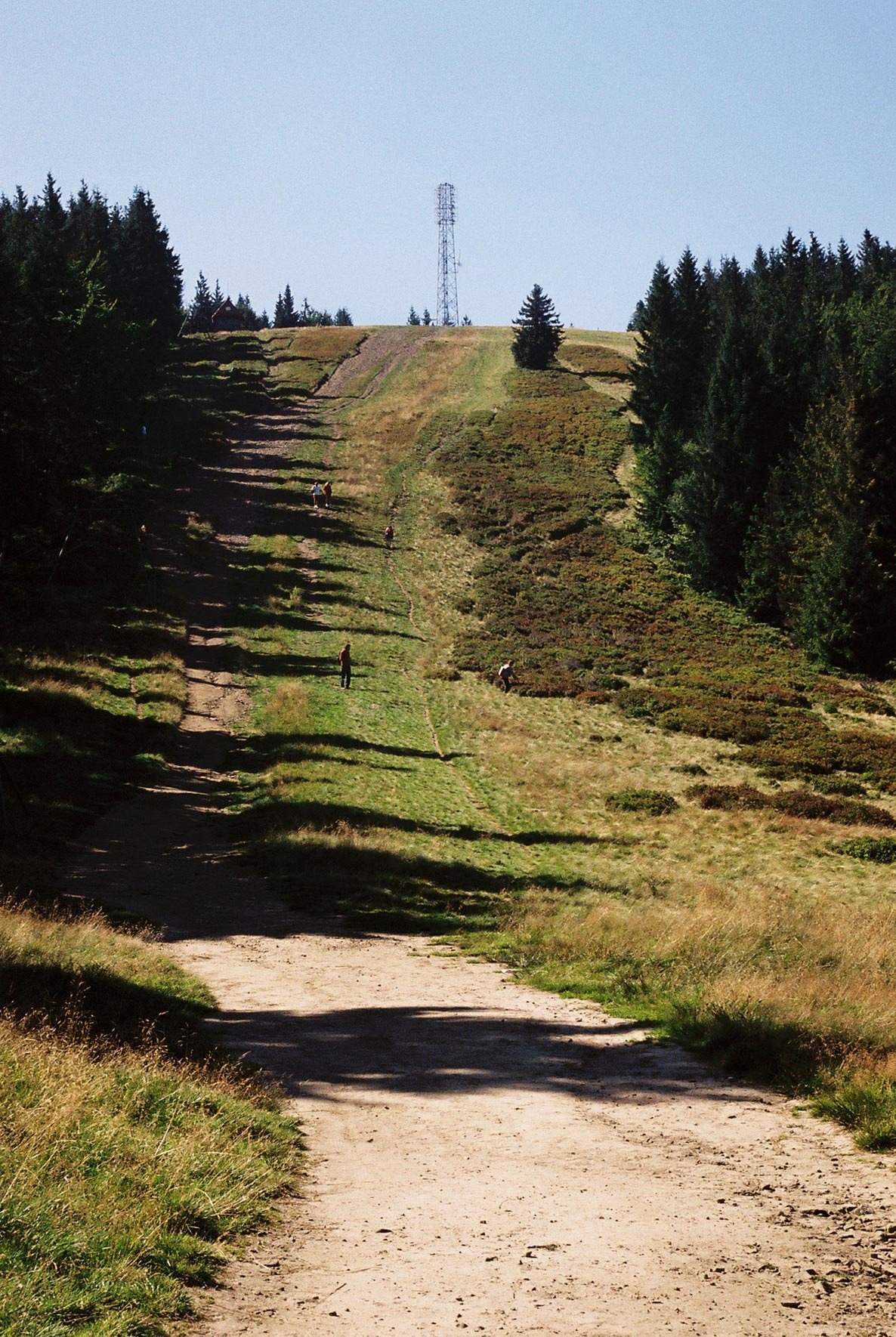
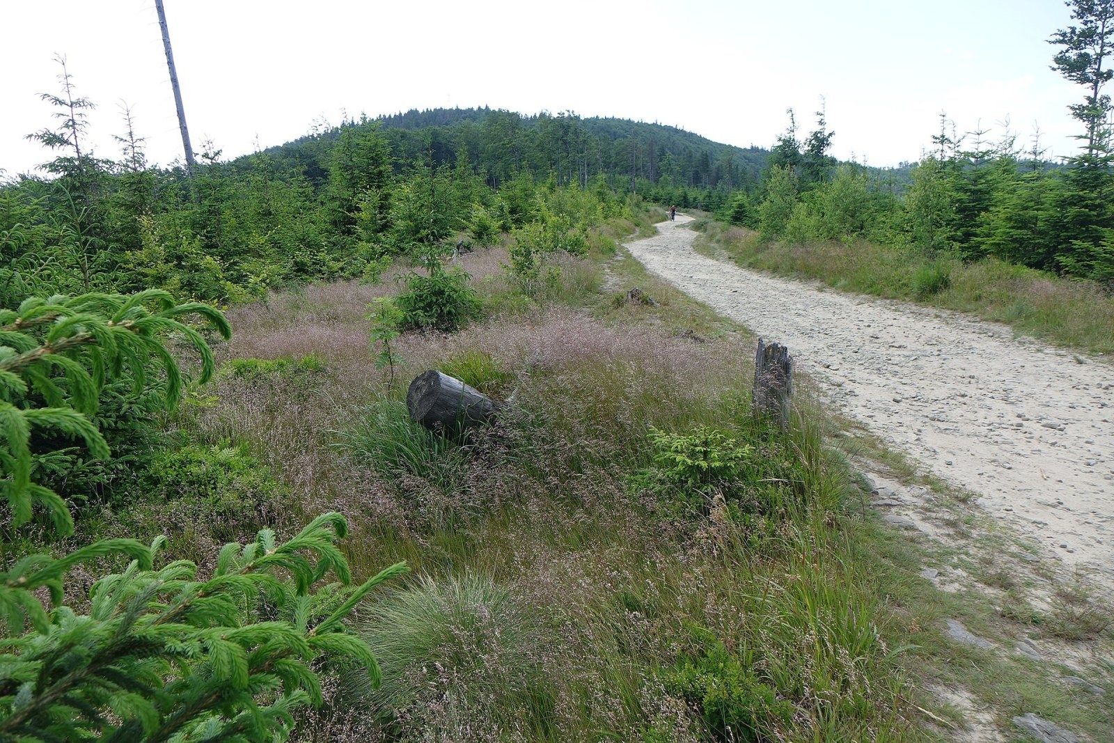
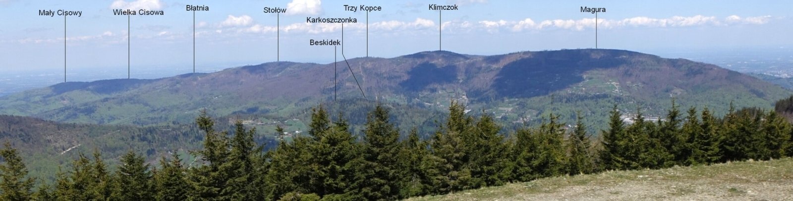
Klimczok (formerly also Klimczak) is a 1117 m mountain in the Klimczok and Szyndzielnia range of the Silesian Beskids, south-west of Bielsko-Biała. The administrative boundary between Bielsko-Biała and Szczyrk runs over the summit, as does the historical border between Silesia and Lesser Poland (Austrian Galicia). Czech sources note that Klimczok is the highest point of the city of Bielsko-Biała.
The mountain stands on a ridge coming from Trzy Kopce in the south-west and is the junction of two ridges: one descends gently north to Szyndzielnia, the other runs east to Magura. The top is a rounded dome. The ridges are fairly broad, but the slopes towards the valleys of the Białka, Potok Wilczy and Barbara are steep and covered with beech-spruce forest. The headwaters of the Białka rise on the north-eastern slopes.
How to get there / trails
Most trails meet at the saddle below Klimczok (Kowiorek), between Klimczok and Magura; from there it is 10 min to the summit on the black trail. Times to the saddle are from Polish Wikipedia:
- blue from central Szczyrk via Podmagura – 1 h 45 min; blue from Bystra via Magura – 1 h 45 min;
- green from central Szczyrk (Szczyrk Biła) – 1 h 45 min; green from Wilkowice Bystra station – 2 h;
- yellow then black from Błatnia via Stołów – 1 h 45 min; yellow from Wilkowice Bystra station via Chata na Groniu – 2 h 45 min;
- red from the Karkoszczonka Pass – 1 h; red from Szyndzielnia – 30 min; yellow and red from Wapienica via Szyndzielnia – 2 h.
At the Kowiorek saddle trails cross towards Szczyrk, Bystra, Brenna, the Salmopolska Pass, the Karkoszczonka Pass, Szyndzielnia and Błatnia. 700 m east of the summit stands the PTTK Klimczok hut (formerly «Klementynówka»), which also houses a GOPR station. On the meadow of the eastern shoulder descending to Kowiorek runs a 430 m platter ski lift.
The view from the top
Until the end of the 1970s a wooden triangulation tower stood on the summit, from which a large part of the Western Carpathians could be seen, from Lysá hora in the west to the Tatras in the south-east. The tower is gone and the trees around the summit have grown, so today the view is limited to the south-eastern sector, where the Tatra peaks rise above the ridges of the Żywiec Beskids. A steel mast with telecommunication antennas now stands on the summit.
Nature and history
As late as the early 19th century the mountain was called Goryczna Skałka or simply Skałka. On the western slopes just below the summit runs a system of ridge trenches and rock crevices with several small caves, including the Ali Baba Cave and the Piętrowa Cave. The largest cave, 26 m long, was said by local tradition to be the hideout of the famous robber of the Żywiec-Silesian borderland, Klimczok, and in the Romantic era his name passed to the mountain.
The Moravian monkshood, rare in Poland, grows on Klimczok. In the Biła forestry district a group of trees over 45 m tall grows here, several exceeding 53 m; in 2018 one Douglas fir was about 57 m tall and an estimated 115 years old.
Safety, season and rules
Klimczok has a harsh climate: the mean annual temperature is 5–6 °C, a snow cover of about 220 cm lasts some 125 days a year, and a record 305 cm was measured on 14 March 1993. Precipitation reaches 1300 mm a year and the sun shines on only about 79 days, so a rain jacket is always useful. In winter keep off the ski slopes. Help comes from GOPR: 985 or +48 601 100 300, or the general emergency number 112.
Photos: Adrian Tync, CC BY-SA 4.0; Jakub Hałun, CC BY 4.0; No machine-readable author provided. Pko assumed (based on copyright claims)., CC BY-SA 3.0; Jerzy Opioła, CC BY-SA 4.0; Jerzy Opioła, CC BY-SA 4.0; Urząd Miejski w Bielsku-Białej, CC0; Jakub Hałun, CC BY 4.0 — Wikimedia Commons.
Getting there from Ukraine
Border crossings
- Krakovets – Korczowa — road, 24/7
- Shehyni – Medyka — road, 24/7 Pedestrian crossing is not confirmed by the Ukrainian border service — check dpsu.gov.ua before the trip.
- Smilnytsia – Krościenko — road, 24/7
- Hrushiv – Budomierz — road, 24/7
- Mostyska – Przemyśl (rail) — rail, 24/7
By car
Lviv – Żywiec ≈412 km, ≈5 h 30 min without queues or tolls: M-10 → Krakovets – Korczowa → A4 to Kraków (≈249 km) → DK52 via Wadowice → DW781 and DW946 to Żywiec. ≈333 km, ≈4 h from the border. Alternative via the tolled A4 Kraków – Katowice and the S1 via Tychy and Bielsko-Biała: ≈457 km, ≈5 h 25 min.
Checked 23.10.2026; border crossing hours and timetables change — check before you travel.
Location on the map
Water and shelter nearby
- Klimczok Hut710 m · Standing · 1 052 m
- Spring below Trzy Kopce1.5 km · Not verified · 838 m
- Uncle Tom's Hut1.6 km · Standing · 702 m
- PTTK Hut Szyndzielnia1.8 km · Standing · 1 001 m
- Spring below Magura (south slope), 709 m1.9 km · Not verified · 709 m
- Hut below Stołów2.4 km · Not verified · 783 m
- Spring below Magura (south slope), 676 m2.5 km · Not verified · 676 m
- Spring below Magura (north-east slope), 731 m2.9 km · Not verified · 731 m
- Hut below Magura (north-east slope), 670 m2.9 km · Not verified · 670 m
- Hut below Magura (north-east slope), 738 m2.9 km · Not verified · 738 m
- Spring below Kołowrót3 km · Not verified · 721 m
Comments
Trails nearby
All trails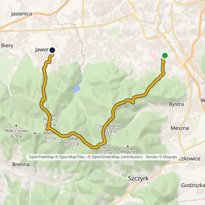 ModerateTwo-dayMarkedMikuszowice Śląskie Jaworze CentrumElevation profile364–1 117 m18.9 kmascent 840 m≈ 6.5 h walkingunder 1 km from Klimczok
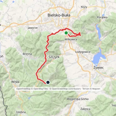 HardMulti-dayMarkedMikuszowice Krakowskie Malinowska SkałaElevation profile346–1 152 m38.1 kmascent 1 985 m≈ 13.5 h walkingunder 1 km from Klimczok
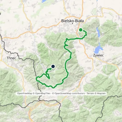 HardMulti-dayMarkedStraconka SmrekowiecElevation profile394–1 257 m79 kmascent 3 481 munder 1 km from Klimczok
Nearby attractions
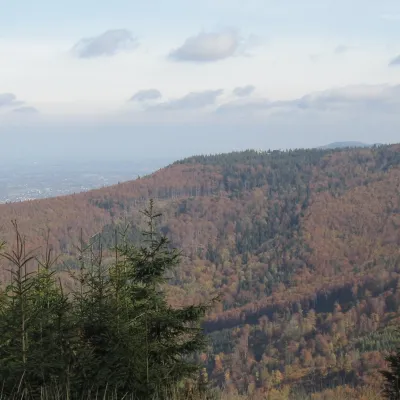 PeakSzyndzielniaBielsko-Białaaltitude 1 028 m1.4 km from KlimczokSzyndzielnia (German Kamitzer Platte) is a 1,028 m summit in the Silesian Beskids, in the Klimczok and Szyndzielnia Range, just north of Klimczok.
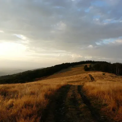 Mountain meadowHala JaworowaBrennaaltitude 870 m6.1 km from KlimczokHala Jaworowa, also called Polana Kotarska, is a large meadow in the Silesian Beskids at 820–920 m. It stretches along the side north-western ridge of Kotarz – from...
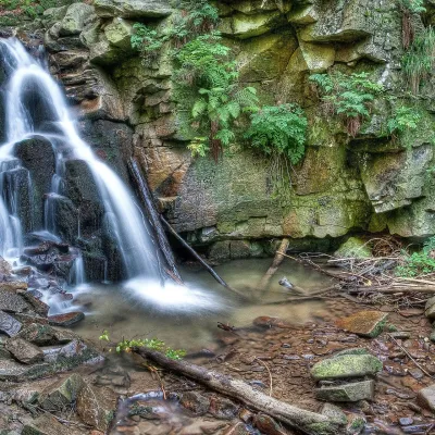 WaterfallRodło Cascades (Biała Wisełka)Wisła13 km from KlimczokThe Rodło Cascades (Kaskady Rodła) are a group of about 25 natural waterfalls and rock steps on the Biała Wisełka, one of the streams that give rise to the Vistula.
Craft nearby
All craft places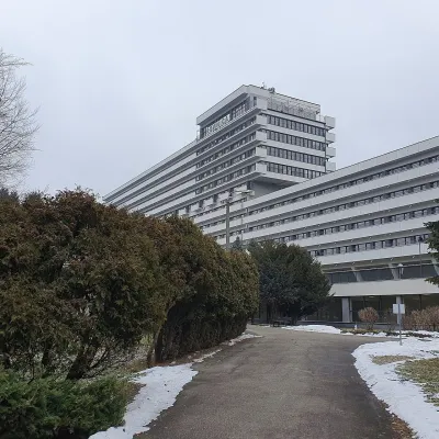 Water parks & thermal poolsUstroń spa: brine, peat and brine poolsUstroń12 km from KlimczokUstroń is the only spa of the Silesian Beskids: the town lies where the Vistula valley leaves the mountains, between the ridges of Równica (884 m) and Czantoria Wielka...
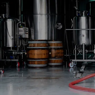 Craft beer & breweriesBrowar Zarzecze in the Żywiec Basin: craft brewery shopZarzecze13 km from KlimczokBrowar Zarzecze works in the village of Zarzecze near Pietrzykowice in the Żywiec Basin — a region where beer has been brewed since at least the 19th century and home...
 Water parks & thermal poolsAquapark Leśna (Żywiec)Leśna13 km from KlimczokAquapark Leśna (also called Aquapark Żywiec) is a swimming-pool complex in the village of Leśna, a few kilometres from Żywiec, in the Żywiec Basin, surrounded by the...
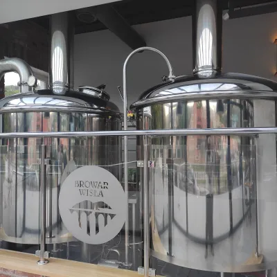 Craft beer & breweriesBrowar Wisła: craft brewpub in Wisła's old railway stationWisła14 km from KlimczokBrowar Wisła is a brewpub in the heart of the Silesian Beskids, in the spa town of Wisła, where Poland's longest river of the same name rises.
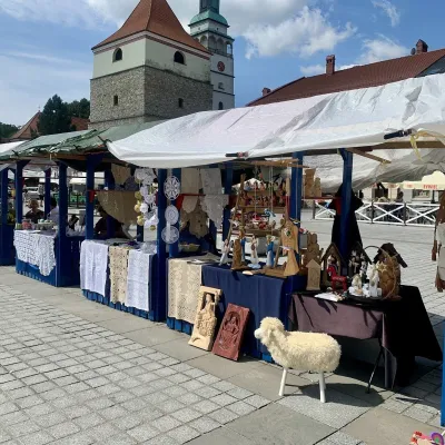 Markets & fairsFolk Art Fair in Żywiec during the Beskidy Week of CultureŻywiec16 km from KlimczokThe Beskidy Highlanders' Week of Culture (Tydzień Kultury Beskidzkiej, TKB) is Poland's largest folklore festival: it was first held in Wisła in 1964, and today, at...
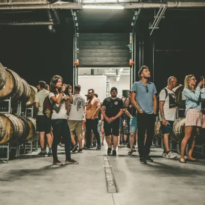 Craft beer & breweriesPINTA Brewery, Wieprz near Żywiec: tours and taproomWieprz16 km from KlimczokPINTA is the brewery that Poles associate with the start of the “beer revolution”; it calls itself the country's first craft brewery.
