Slopná – Mojtín
Trail map
Route, springs and shelters: © OpenStreetMap contributors (ODbL) · elevation: Copernicus DEM © DLR e.V., © Airbus DS · Data & licences
About the trail
Route Slopná – Mojtín. Has green marking (regional route №5587, KST). Waymarking data: OpenStreetMap (© OpenStreetMap contributors, ODbL).
Officially marked regional tourist route No. 5587. The marking is green, the sign is a horizontal stripe on a white background. Marked and maintained by: KST. Length of the route — 13 km. Location: mountain range — Strazhovske Mountains, Slovakia.
At a glance
A one-day route of 13 km with 325 m of ascent and 711 m of descent from Slopná to Mojtín. Estimated walking time: about 4 h, not counting stops. Difficulty: moderate. Waymarking: green.
Route stages
- 0–2 kmGentle ups and downs at 650–700 m
- 2–5 kmClimb of 180 m to Malenica (878 m)
- 5–8 kmDescent of 380 m (down to 481 m)
- 8–13 kmGentle ups and downs at 300–490 m
Steepest kilometre: km 5–6, a descent of 200 m (≈20%), near Malenica.
Water and overnight stays
A spring near the trail: at km 10. There are no springs between km 0 and 10 — carry at least 2 l of water.
When to go
The route can be walked most of the year; it is most comfortable from April to October.
Getting there
Start: Slopná. This is a one-way route: the finish is 8 km from the start in a straight line, so plan your way back in advance.
FAQ
- How long does the route take?
- Estimated walking time: about 4 h, not counting stops.
- Is there water on the route?
- A spring near the trail: at km 10. There are no springs between km 0 and 10 — carry at least 2 l of water.
Water and shelter on the route
- Spring below Prašnicakm 10.1 from the start · 230 m off the path · Not verified · 432 m
Comments
Trails nearby
All trails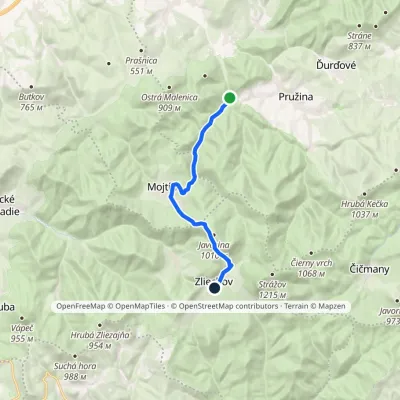
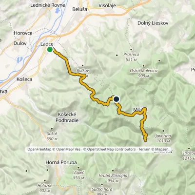
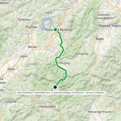
Craft nearby
All craft places Cheese dairies & pasturesSalaš Pružina: 100% sheep’s bryndza in the Strážov HillsPružina6.7 km from the trailPružina is a village in a picturesque valley of the Strážov Hills (Strážovské vrchy) west of Považská Bystrica.
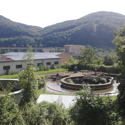 Water parks & thermal poolsNimnica: a mineral-water spa above the Nosice reservoirNimnica17 km from the trailNimnica is one of Slovakia's youngest spas, in the Váh valley between Púchov and Považská Bystrica. Its spa houses stand at about 300 m on a wooded spur of the...
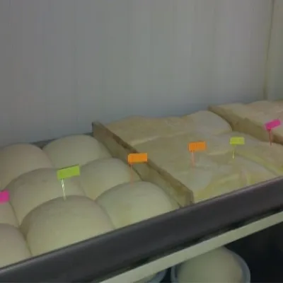 Cheese dairies & pasturesSalaš Orlové near Považská Bystrica: cheese, bryndza, žinčicaPovažská Bystrica17 km from the trailOrlové is a part of the town of Považská Bystrica on the left bank of the Váh, at the foot of hills that rise into the Strážov Hills.
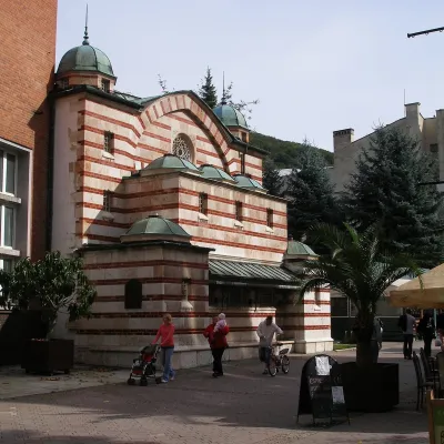 Water parks & thermal poolsTrenčianske Teplice: the Hammam and sulphur thermal bathsTrenčianske Teplice19 km from the trailTrenčianske Teplice is one of Slovakia's oldest spas, squeezed into a narrow wooded valley of the Strážov Mountains not far from Trenčín.
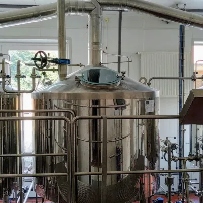 Craft beer & breweriesGalgenberg brewery in Nitrianske Pravno: tour and beer from the tankNitrianske Pravno21 km from the trailNitrianske Pravno is a large village at the northern end of the Upper Nitra basin, 12 km from Prievidza, where the river Nitra leaves the Malá Magura and Žiar hills.
 Water parks & thermal poolsSpa Aphrodite thermal pools, Rajecké TepliceRajecké Teplice26 km from the trailHot mineral water rises here, and it feeds the Spa Aphrodite resort, whose thermal pools, saunas and Natural Spa zone are open not only to patients but to anyone with...
