Przedni Staw Polski
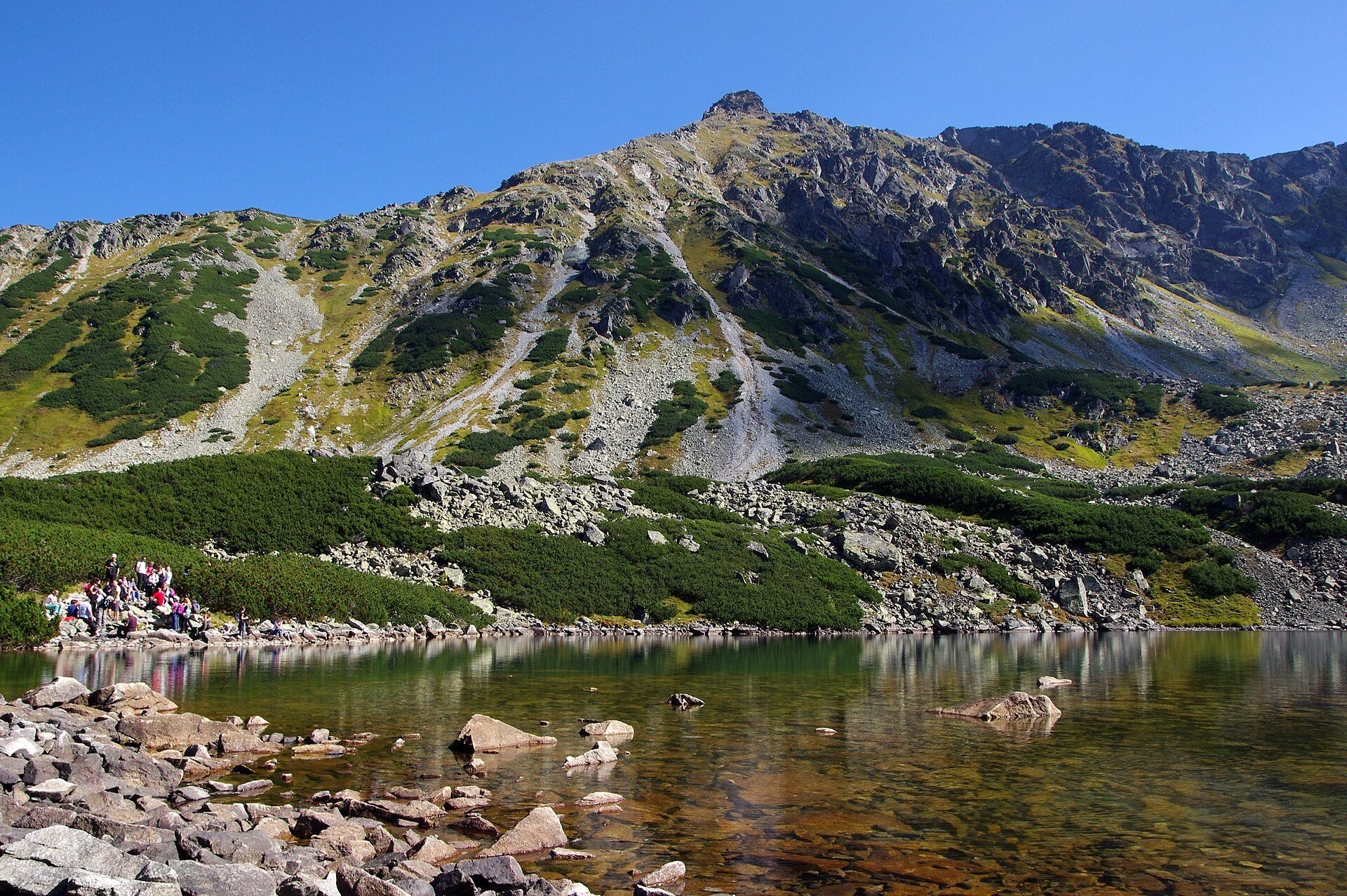
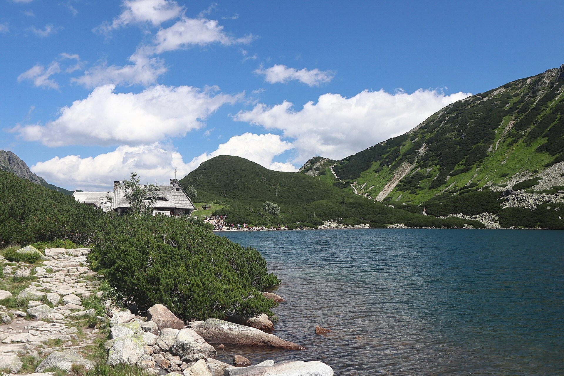
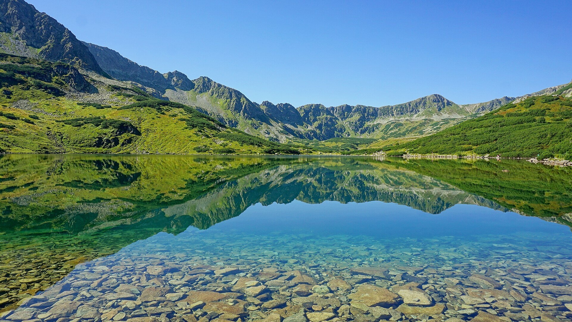
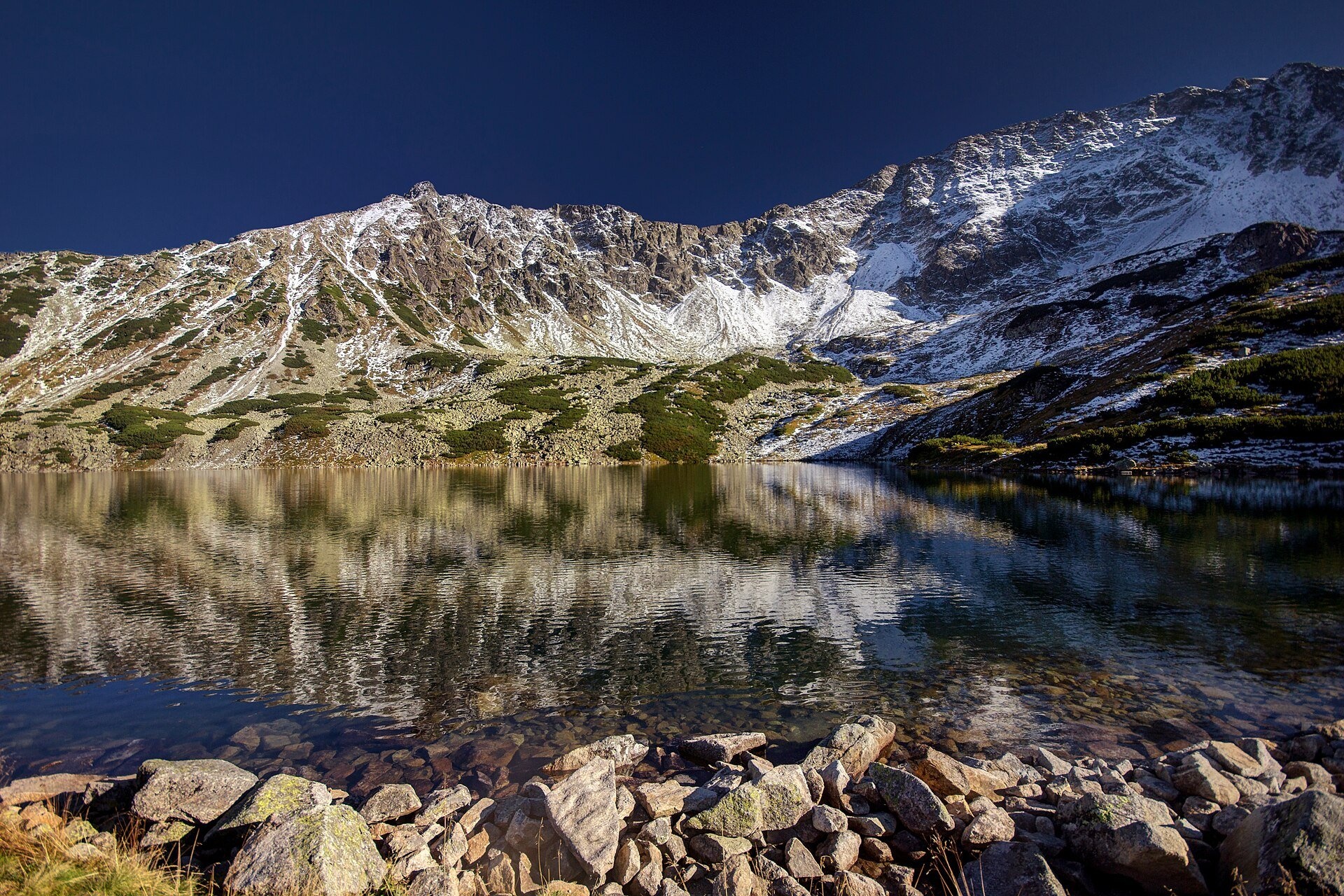
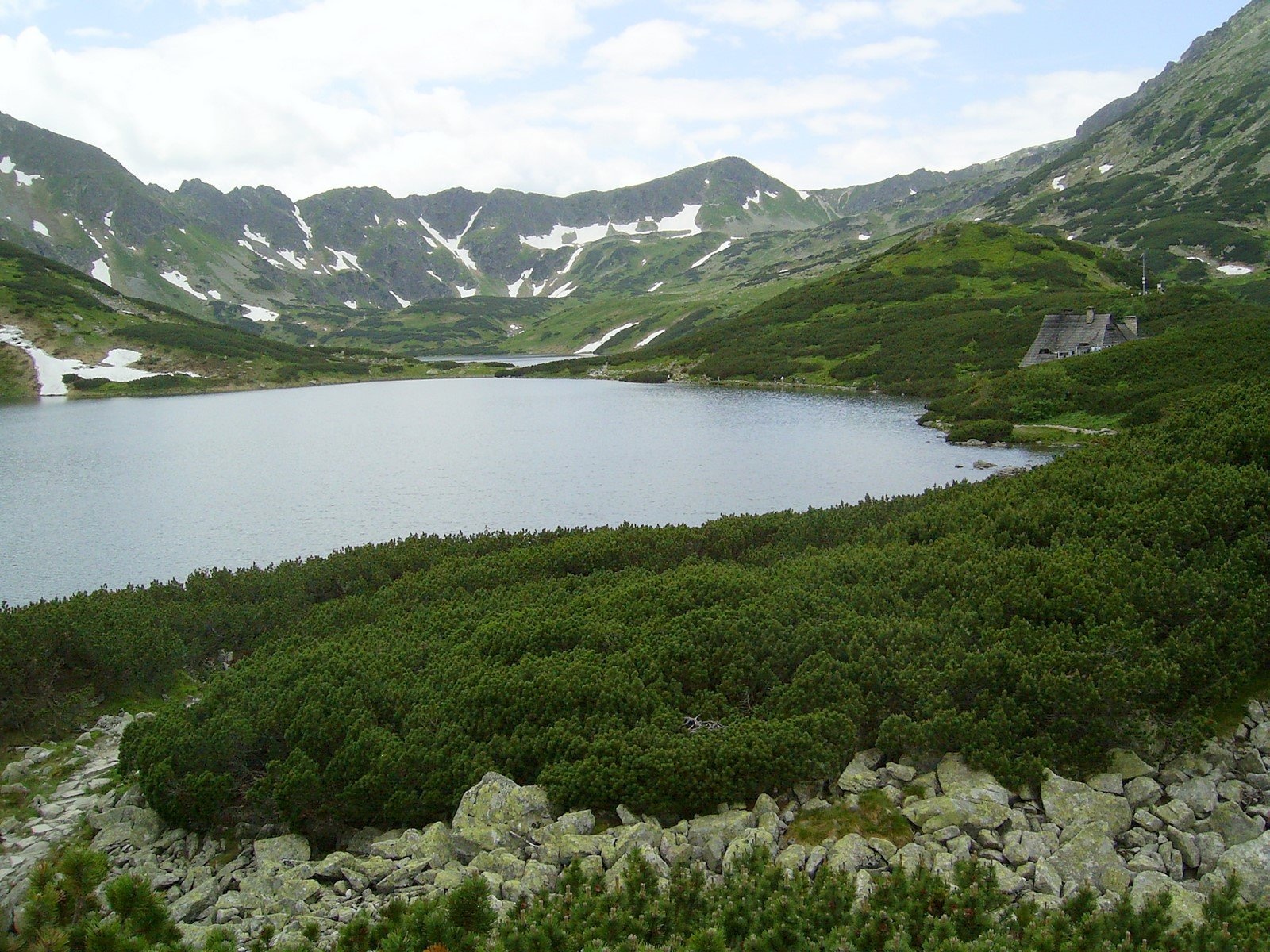
Przedni Staw Polski (the Front Polish Pond) is a glacial lake in the High Tatras, the easternmost lake of the Valley of the Five Polish Ponds (Tatra National Park). It lies at 1,668 m, covers 7.7 ha and is 34.6 m deep. The slopes of Opalony Wierch drop towards it from the south-east, while to the north and east it is surrounded by rounded roches moutonnées — glacier-polished knolls called Wyżnia Kopa (1,722 m) and Niżnia Kopa (1,711 m). Its surplus water flows through Mały Staw into Wielki Staw Polski, the source of the Roztoka stream.
The glacier shaped the Valley of the Five Polish Ponds at about 1,625–1,900 m; in fact there are six lakes, not five, if you count the tiny Wole Oko. Highlanders from Białka grazed their herds here well into the 20th century; the Tatra National Park restricted grazing in 1956, and cows were grazed here until 1968.
Przedni Staw is also of scientific interest. For most of its history it had no fish, and its greenish-yellow water was very clear: in the first half of the 20th century a Secchi disc was visible down to about 13 m. Brown trout and brook trout were probably introduced illegally in the 1960s; the fish reshaped the plankton and transparency fell to 5–7 m. In 2021–2023 scientists carried out intensive fish removal — and transparency rose to 16.5 m, although the former plankton community has not yet recovered.
What to see and do
- The PTTK hut in the Valley of the Five Polish Ponds on the shore — the highest mountain hut in Poland (1,671 m) and the only one that cars cannot reach. The first hut in the valley was built in 1876 and the present building opened in 1953; it has its own hydroelectric plant and sewage treatment.
- Clear water by the shore — on a calm day you can see the stony bottom, with Opalony Wierch and the slopes of Miedziane reflected in the lake.
- A view of the valley — from the ridge above the hut (on the path to Świstówka, about 1,855 m) four of the valley's lakes are visible.
How to get there
The most popular route starts at Palenica Białczańska: 2.9 km along the asphalt road to Morskie Oko to Wodogrzmoty Mickiewicza (Mickiewicz Waterfalls), then the green trail up the Roztoka valley past Wielka Siklawa Waterfall. From Wodogrzmoty to the junction it takes 1 h 20 min, then the black trail to the hut above Przedni Staw takes 40 min (30 min down). Alternatively, from Morskie Oko take the blue trail Hut in the Valley of Five Lakes – Hut at Morskie Oko via Świstówka Roztocka: 2 h, 1 h 40 min back. The ascent from Palenica (990 m) is almost 700 m: this is a full-day mountain hike, not for prams. The TPN car park at Palenica Białczańska works with e-tickets only: online 36–75 zł depending on the season, more on site. Since 1 September 2026, as a pilot, horse carts run only from Palenica to Wodogrzmoty Mickiewicza.
Season and safety
The TPN entry ticket costs 11 zł, reduced 5.50 zł, children under 7 free (as of October 2026). From 1 March to 30 November walking on the trails between dusk and dawn is prohibited. Swimming, washing and rinsing dishes in Tatra lakes is not allowed — they supply drinking water to the huts; dogs, drones and tents are banned in TPN. The best time is June to October. In winter the valley attracts ski tourers, but the slopes above the Roztoka trail are avalanche-prone: in 1976 two experienced hikers died of exhaustion in a blizzard barely a dozen or so metres from the hut. Check the TPN bulletin and the TOPR avalanche report; mountain rescue — 985 or 601 100 300.
Nearby
- Wielki Staw Polski — the deepest lake of the Tatras, a few hundred metres away.
- Czarny Staw Polski and Zadni Staw Polski — higher lakes of the same valley.
- Wielka Siklawa Waterfall — Poland's highest waterfall on the way up from the Roztoka valley.
Official website: tpn.gov.pl
Photos: Jakub Hałun, CC BY-SA 4.0, Wikimedia Commons; Cybularny, CC0, Wikimedia Commons; Faxe, CC BY-SA 4.0, Wikimedia Commons; Aneta Pawska, CC BY-SA 3.0 pl, Wikimedia Commons; Krzysztof Dudzik-Górnicki (User:ToSter), CC BY 3.0, Wikimedia Commons; Zofia Brola, CC BY 3.0, Wikimedia Commons.
Getting there from Ukraine
Border crossings
- Krakovets – Korczowa — road, 24/7
- Shehyni – Medyka — road, 24/7 Pedestrian crossing is not confirmed by the Ukrainian border service — check dpsu.gov.ua before the trip.
- Smilnytsia – Krościenko — road, 24/7
- Hrushiv – Budomierz — road, 24/7
- Mostyska – Przemyśl (rail) — rail, 24/7
By car
Lviv – Zakopane ≈421 km, ≈5 h 10 min without border queues. Route: M-10 Lviv – Krakovets → Krakovets – Korczowa checkpoint → A4 motorway (Rzeszów – Tarnów – Kraków) → Kraków southern bypass → S7/DK7 → DK47 ('Zakopianka') via Nowy Targ → Zakopane. The A4 Katowice – Kraków section (Balice and Mysłowice toll plazas) is tolled, but this route does not use it. In summer and at weekends the DK47 near Zakopane is often congested.
Checked 23.10.2026; border crossing hours and timetables change — check before you travel.
Location on the map
Comments
Trails nearby
All trails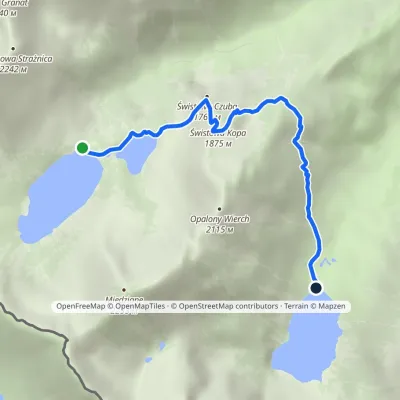 ModerateOne-dayMarkedHut in the Valley of Five Lakes Hut at Morskie OkoElevation profile1 398–1 875 m4.6 kmascent 213 m≈ 1.5 h walkingunder 1 km from Przedni Staw Polski
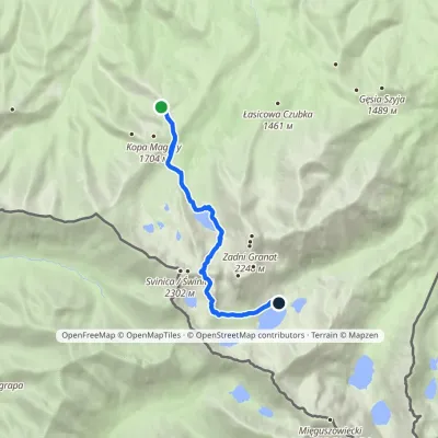 HardOne-dayMarkedPrzełęcz między Kopami Five Polish Ponds Valley Hutvia ZawratElevation profile1 497–2 155 m9 kmascent 709 m≈ 3.5 h walkingunder 1 km from Przedni Staw Polski
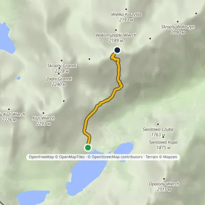 HardOne-dayMarkedKrzyżne Zagon NiżniElevation profile1 674–2 135 m2.6 kmascent 68 m≈ 45 min walkingunder 1 km from Przedni Staw Polski
Nearby attractions
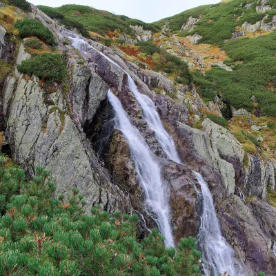 WaterfallWielka Siklawa Waterfallunder 1 km from Przedni Staw PolskiWielka Siklawa (also simply Siklawa) is Poland's highest waterfall. The Roztoka stream, flowing out of Wielki Staw Polski, drops here over the rock step between the...
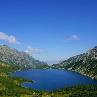 LakeWielki Staw Polskiunder 1 km from Przedni Staw PolskiWielki Staw Polski (the Great Polish Lake) lies in the High Tatras, in the Valley of the Five Polish Lakes, at 1,665 m, below the slopes of the Miedziane ridge.
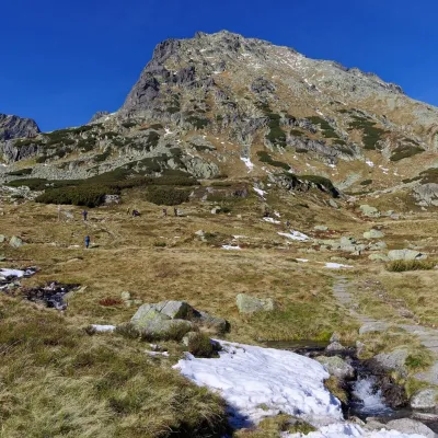 PeakKozi Wierchaltitude 2 291 m1.6 km from Przedni Staw Polski2 trails to the topKozi Wierch (Slovak: Kozí vrch) is a 2,291 m peak in the High Tatras and the highest mountain with noticeable prominence lying entirely within Poland.
Craft nearby
All craft places Cheese dairies & pasturesShepherd's Hut on Rusinowa Polana6.4 km from Przedni Staw PolskiRusinowa Polana is one of the most beautiful mountain glades in the Polish Tatras, and from May to October it is home to the bacówka (shepherd's hut) of baca Stanisław...
 Cheese dairies & pasturesFurtek's Shepherd's Huts, Kuźnice and Kalatówki8.5 km from Przedni Staw PolskiAbove Kuźnice — the southern edge of Zakopane where most hikes into the Western and High Tatras begin — the flocks are tended by baca Andrzej Staszel, nicknamed "Furtek".
 Koliby & Hutsul cuisineBąkowo Zohylina Wyźnio Highland Tavern10 km from Przedni Staw PolskiBąkowo Zohylina Wyźnio is a regional highland tavern in Zakopane housed in a wooden "szałas" (shepherd-hut-style building) with a view of the Tatras.
 Water parks & thermal poolsTermy Zakopiańskie (Aqua Park Zakopane)11 km from Przedni Staw PolskiTermy Zakopiańskie is a thermal water park right in Zakopane, on Jagiellońska Street, only a kilometre from Krupówki.
 Crafts & workshopsSztukomania Studio, Zakopane: handmade ceramics and pottery workshops11 km from Przedni Staw PolskiSztukomania is a small ceramics and woodwork studio on Staszica street in Zakopane, a few minutes' walk from Krupówki.
 Markets & fairsEuropean Fair of Regional Products, Zakopane (every August)11 km from Przedni Staw PolskiThe European Fair of Regional Products (Europejskie Targi Produktów Regionalnych) is a five-day festival of food, crafts and music held every August on Górna Równia...
