Pliešovce
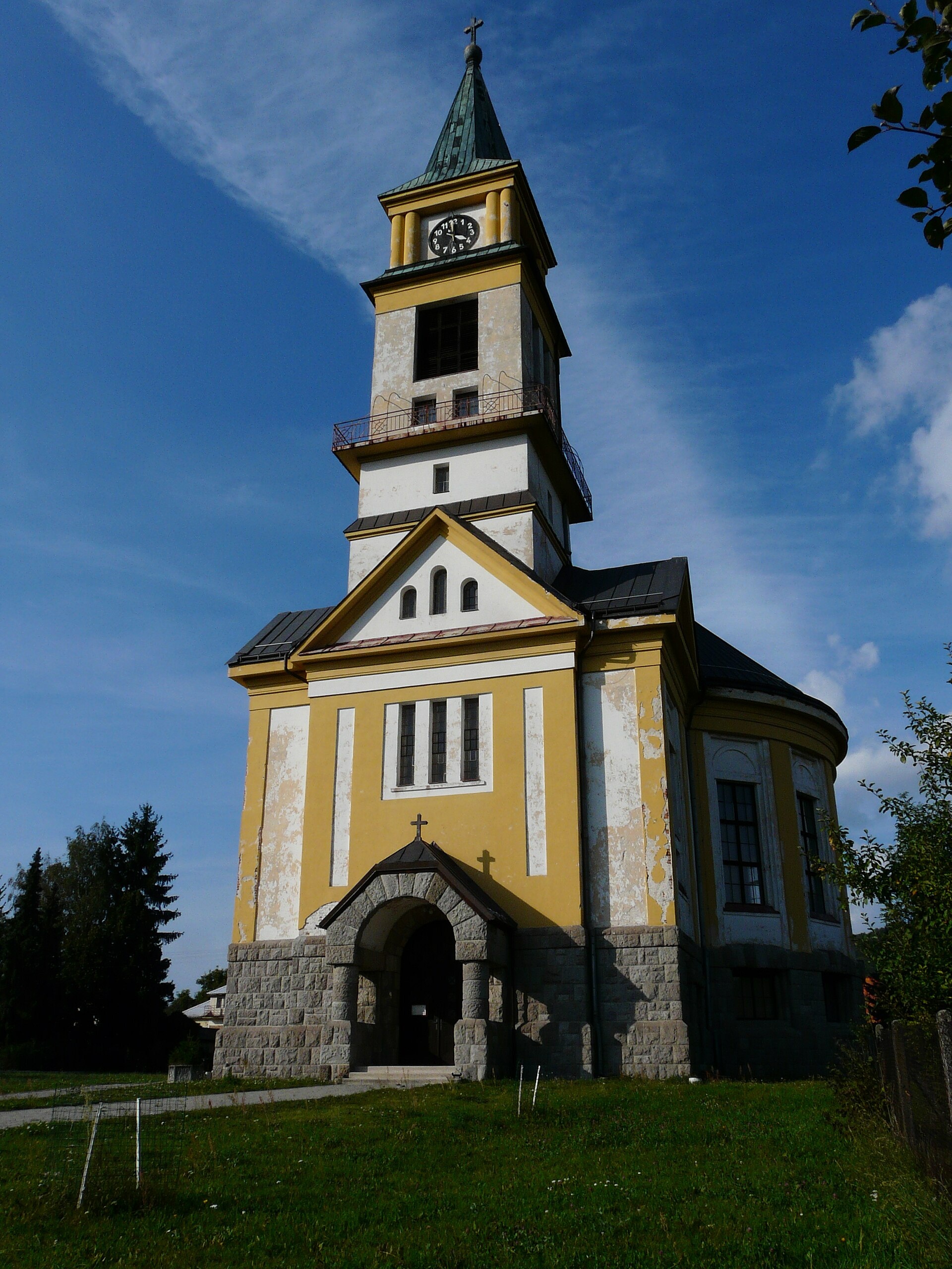
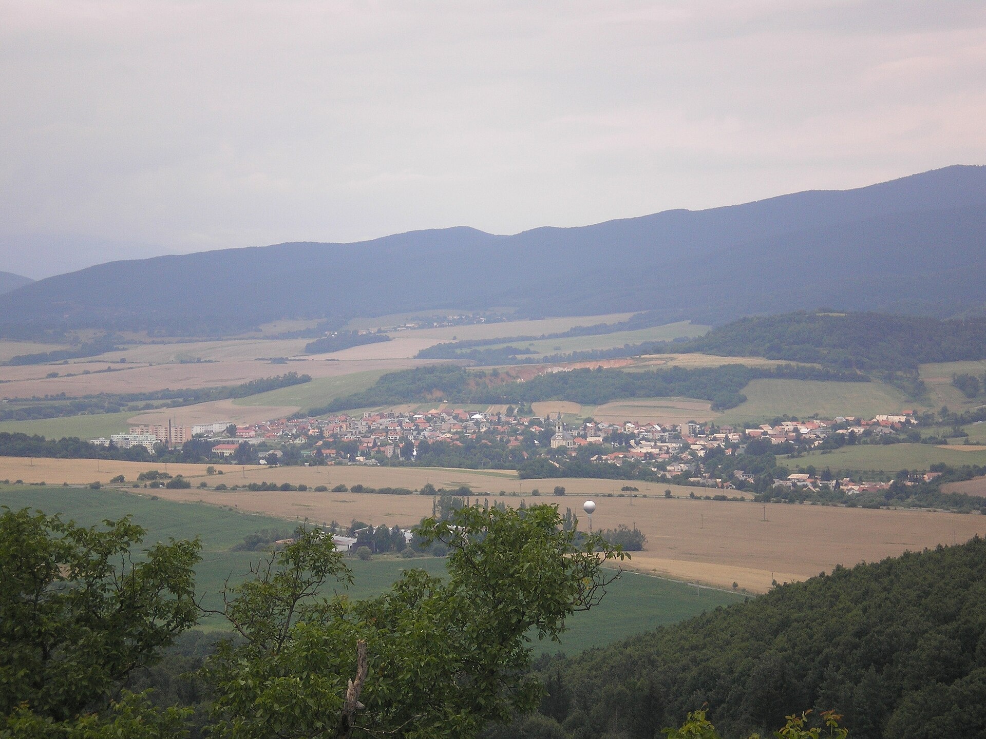
Photos: Sajbanovazuzana, CC BY-SA 4.0 (Wikimedia Commons); R. Turjak, P. Porubcansky, CC BY-SA 4.0 (Wikimedia Commons)
Pliešovce is a village in Slovakia.
Elevation: about 400 m above sea level. Population: 2,250 (2025). Mountains nearby: Slovak Central Mountains.
Here and nearby on the site: 2 trails.
Facts: Wikidata, OpenStreetMap. More on Wikipedia
Trails nearby
All trails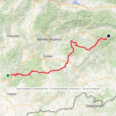 HardMulti-dayMarkedRudná magistrála: Veľký Inovec KadakElevation profile196–1 458 m195.4 kmascent 6 404 m1.9 km from the centre
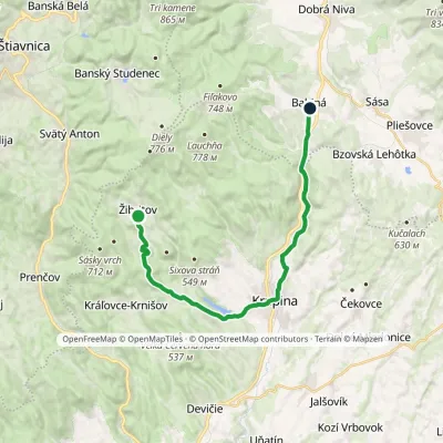 ModerateTwo-dayMarkedBabiná ŽibritovElevation profile267–555 m20.7 kmascent 415 m≈ 6 h walking4.6 km from the centre
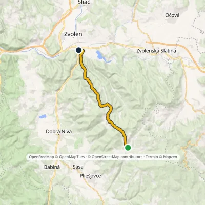 ModerateOne-dayMarkedZvolen, Neresnica Zaježová, junctionElevation profile289–860 m16.9 kmascent 471 m≈ 5 h walking5.8 km from the centre
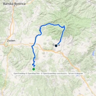 HardMulti-dayMarkedDetva, museum Polomy, junctionElevation profile332–1 318 m55 kmascent 1 410 m9.6 km from the centre
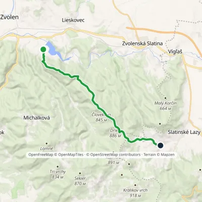 ModerateOne-dayMarkedKalinka ZvolenElevation profile308–886 m14 kmascent 726 m≈ 5 h walking10 km from the centre
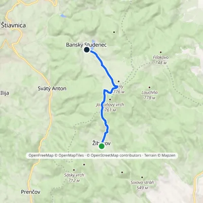 EasyOne-dayMarkedŽibritov Banský StudenecElevation profile492–756 m8.5 kmascent 335 m≈ 3 h walking11 km from the centre
Peaks nearby
All peaks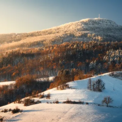
What to visit
All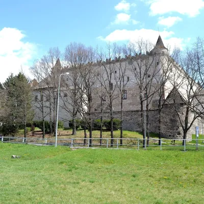 MuseumZvolen Castle — Slovak National GalleryZvolen16 km from the centreZvolen Castle (Zvolenský zámok, officially Zvolenský hrad) stands on a raised terrace at the southern end of SNP Square in the centre of Zvolen.
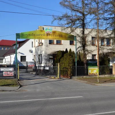 Cheese dairies & pasturesZvolenská Slatina bryndza dairy: the oldest, since 1797Zvolenská Slatina17 km from the centreBryndza with more than 220 years behind it Zvolenská Slatina is a large village in the Podpoľanie region, a few kilometres from Zvolen, at the foot of the volcanic...
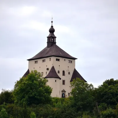 MuseumNew Castle in Banská ŠtiavnicaBanská Štiavnica19 km from the centreThe New Castle (Nový zámok) is a white six-storey Renaissance bastion on Frauenberg hill above the historic centre of Banská Štiavnica.
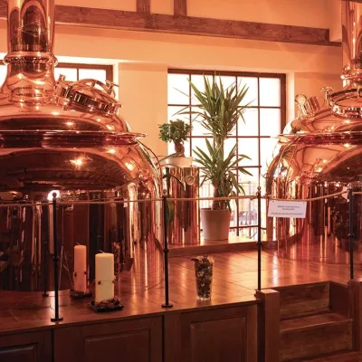 Craft beer & breweriesERB brewery in Banská Štiavnica: brewery tour and tastingBanská Štiavnica19 km from the centreBanská Štiavnica is an old mining town in the caldera of an extinct volcano and a UNESCO World Heritage site.
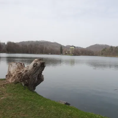 LakePočúvadlo — historic mining lake below SitnoBanská Štiavnica22 km from the centrePočúvadlo (Počúvadlianske jazero) is the largest of the Štiavnica tajchs — historic artificial ponds built by the miners of Banská Štiavnica to drive the machinery of...
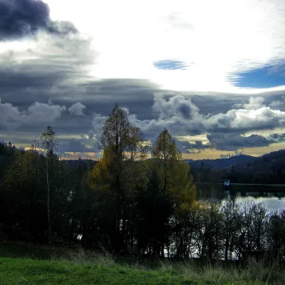 LakeThe Štiavnica tajchy – historic mining lakes of Banská ŠtiavnicaŠtiavnické Bane23 km from the centreThe Štiavnica tajchy are a system of historic artificial lakes in the Štiavnica Mountains (Štiavnické vrchy) around the mining town of Banská Štiavnica in central...
Craft nearby
All craft places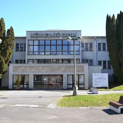 Water parks & thermal poolsSliač spa: warm carbonated water and a thermal swimming areaSliač21 km from the centreSliač is a spa in the Zvolen Basin above the Hron valley, between Zvolen and Banská Bystrica. The spa quarter with its 46-hectare park lies on a slope above the former...
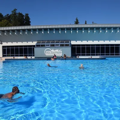 Water parks & thermal poolsKováčová: thermal spa and Holidaypark aquapark near ZvolenKováčová21 km from the centreKováčová is a spa village on the south-western edge of the Zvolen Basin, 4 km west of Zvolen at the foot of the Kremnica Mountains; the village centre lies at 303 m.
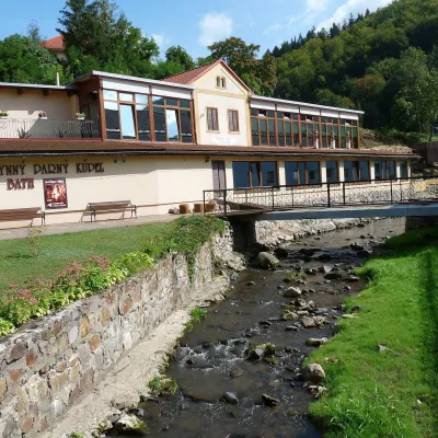 Water parks & thermal poolsSklené Teplice: Parenica cave steam bath and thermal bathsSklené Teplice24 km from the centreSklené Teplice is a small spa in a wooded valley of the Štiavnické vrchy hills, a few kilometres from the Hron valley and about 8 km from Banská Štiavnica.
Spas and thermal pools nearby
Water parks & thermal poolsSliač spa: warm carbonated water and a thermal swimming areaSliač21 km from the centreSliač is a spa in the Zvolen Basin above the Hron valley, between Zvolen and Banská Bystrica. The spa quarter with its 46-hectare park lies on a slope above the former...Water parks & thermal poolsKováčová: thermal spa and Holidaypark aquapark near ZvolenKováčová21 km from the centreKováčová is a spa village on the south-western edge of the Zvolen Basin, 4 km west of Zvolen at the foot of the Kremnica Mountains; the village centre lies at 303 m.Water parks & thermal poolsSklené Teplice: Parenica cave steam bath and thermal bathsSklené Teplice24 km from the centreSklené Teplice is a small spa in a wooded valley of the Štiavnické vrchy hills, a few kilometres from the Hron valley and about 8 km from Banská Štiavnica.Huts, shelters and springs nearby
Getting there from Ukraine
Border crossings
- Uzhhorod – Vyšné Nemecké — road, 24/7
- Malyi Bereznyi – Ubľa — road, 24/7 For cars and buses; pedestrians not confirmed by the Ukrainian border service, lorries up to 3.5 t.
- Mali Selmentsi – Veľké Slemence (pedestrian) — pedestrian, 09:00–21:00 Kyiv time Pedestrians and cyclists only; inconvenient for the Tatras without onward transport.
- Chop – Čierna nad Tisou (rail) — rail, 24/7
By car
From Uzhhorod to Brezno ≈274 km, ≈3 h 50 min without queues: Uzhhorod – Vyšné Nemecké → I/19 to Košice → D1 via Prešov and Poprad to the exit near Liptovský Hrádok → I/18 and I/72 over the Čertovica Pass to Brezno. To Banská Bystrica ≈322 km, ≈4 h 30 min: D1 to Ružomberok, then I/59 via Donovaly. From Lviv: to Brezno via Uzhok and Ubľa ≈498 km (≈7 h 45 min) or through Poland ≈554 km (≈7 h 05 min); to Banská Bystrica through Poland (Kraków – Chyżne – Trstená – Dolný Kubín – Ružomberok) ≈535 km, ≈7 h 15 min. The D1 requires an e-vignette (eznamka.sk).
Checked 23.10.2026; border crossing hours and timetables change — check before you travel.
