Plavecké Podhradie – Rohožník
Trail map
Route, springs and shelters: © OpenStreetMap contributors (ODbL) · elevation: Copernicus DEM © DLR e.V., © Airbus DS · Data & licences
About the trail
Route Plavecké Podhradie – Rohožník. Has blue marking (regional route №2408, KST). Waymarking data: OpenStreetMap (© OpenStreetMap contributors, ODbL).
Officially marked regional tourist route No. 2408. The marking is blue, the sign is a horizontal stripe on a white background. Marked and maintained by: KST. Length of the route — 23.9 km. Location: mountain range — Little Carpathians, Slovakia.
At a glance
A one-day route of 23.9 km with 670 m of ascent from Plavecké Podhradie to Rohožník. Estimated walking time: about 7 h, not counting stops. Difficulty: hard. Waymarking: blue.
Route stages
- 0–6 kmClimb of 430 m to Klokoč (661 m)
- 6–10 kmDescent of 260 m (down to 393 m)
- 10–13 kmClimb of 160 m (up to 550 m)
- 13–16 kmGentle ups and downs at 540–570 m
- 16–19 kmDescent of 240 m (down to 326 m)
- 19–24 kmGentle ups and downs at 200–330 m
Steepest kilometre: km 3–4, a climb of 160 m (≈16%), near Báborská.
Water and overnight stays
Springs near the trail: at km 2, 3, 5, 9 and 11. There are no springs between km 11 and 24 — carry at least 2 l of water. Some springs run low or dry up in late summer.
When to go
The route can be walked most of the year; it is most comfortable from April to October.
Getting there
Start: Plavecké Podhradie. This is a one-way route: the finish is 7 km from the start in a straight line, so plan your way back in advance.
FAQ
- How long does the route take?
- Estimated walking time: about 7 h, not counting stops.
- Is there water on the route?
- Springs near the trail: at km 2, 3, 5, 9 and 11. There are no springs between km 11 and 24 — carry at least 2 l of water. Some springs run low or dry up in late summer.
Water and shelter on the route
- Spring below Pohanskákm 1.9 from the start · Not verified · 428 m
- Kravčukov Springkm 2.9 from the start · 260 m off the path · Not verified · 340 m
- Nazdar Springkm 5 from the start · 140 m off the path · Not verified · 557 m
- Janka Spring, 419 mkm 9.5 from the start · 50 m off the path · Not verified · 419 m
- Hrča Springkm 10 from the start · 40 m off the path · Not verified · 402 m
- Hutanská cesta Springkm 11.1 from the start · 300 m off the path · Not verified · 460 m
Comments
Trails nearby
All trails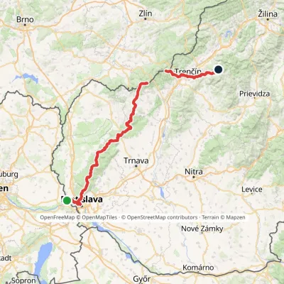 HardMulti-dayMarkedHrad Devín, parking Horná Poruba, U BrdárovElevation profile146–965 m190.1 kmascent 7 200 m
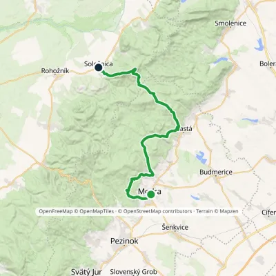 HardMulti-dayMarkedModra, square SološnicaElevation profile175–744 m32.9 kmascent 1 113 m≈ 10.5 h walking
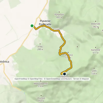 EasyOne-dayMarkedPlavecké Podhradie VápennáElevation profile206–740 m5.2 kmascent 535 m≈ 2.5 h walking
Craft nearby
All craft places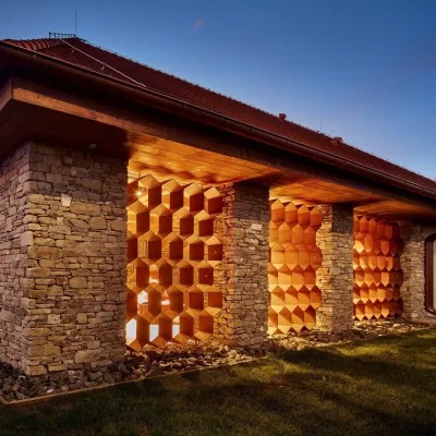 Honey & meaderiesVčelovina meadery, Smolenice: mead and honey beerSmolenice13 km from the trailThis is where the Včelovina meadery works — “a small production with a big heart”, as its founders put it.
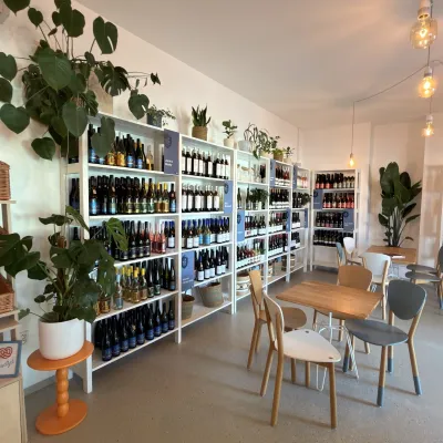 Wine & tastingsJuran z Modry winery: tastings in a Modra wine shopModra17 km from the trailModra is one of the main wine towns of the Little Carpathians: every other courtyard has its own cellar, and rows of vines climb the slopes above the town.
 Crafts & workshopsSlovak Folk Majolica in Modra: pottery tour and paintingModra18 km from the trailModra is a small wine town on the eastern slopes of the Little Carpathians, half an hour’s drive from Bratislava.
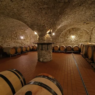 Wine & tastingsMagula Winery, Suchá nad Parnou: biodynamic wines and a farmSuchá nad Parnou19 km from the trailSuchá nad Parnou is a wine village on the south-eastern slopes of the Little Carpathians, near Trnava.
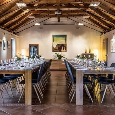 Wine & tastingsKarpatská Perla winery in Šenkvice: tastings and cellarŠenkvice21 km from the trailFrom a home cellar to Winery of the Year Šenkvice is a wine village on the plain below the eastern slopes of the Little Carpathians, between Pezinok and Modra.
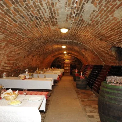 Wine & tastingsHACAJ winery in Pezinok: sparkling wine in a 300-year-old cellarPezinok22 km from the trailPezinok is the centre of the Little Carpathian Wine Route, a town where winegrowers’ houses with deep cellars line the old streets.
